Breadleas Plantation

Wood, Forest in Fife

Scotland

Breadleas Plantation

Outh Hill Outh Hill from Park Hill, with the distinctive communication masts of Knock Hill in the background.
Outh Hill Credit: Robert Struthers

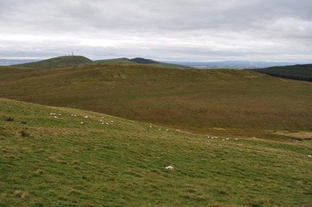
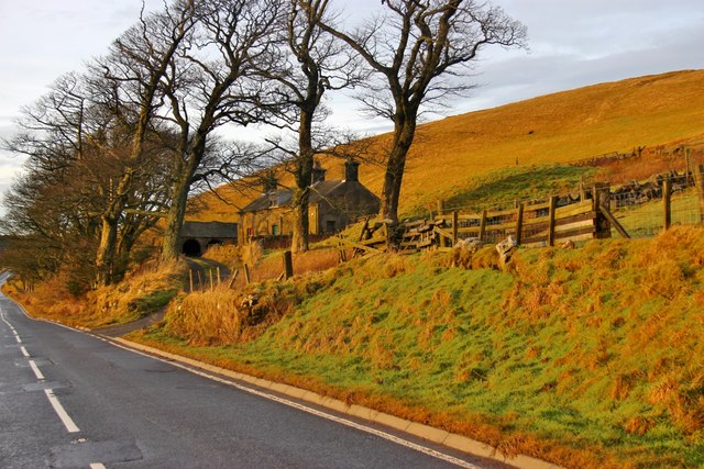
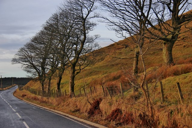
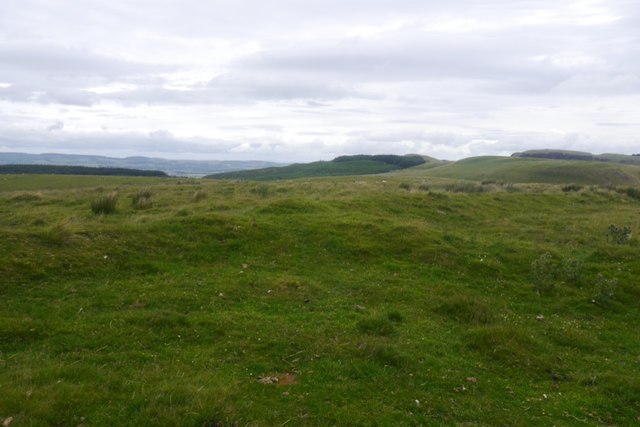
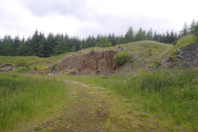
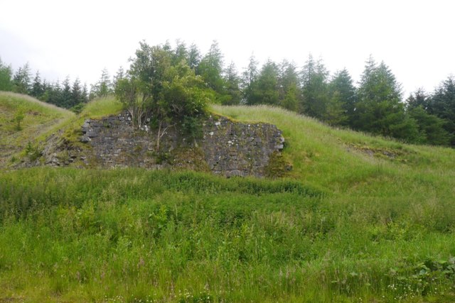
Breadleas Plantation is a picturesque woodland area located in Fife, Scotland. Covering an extensive area, it is well-known for its lush greenery and diverse range of trees. The plantation is situated near the village of Kingskettle and is easily accessible by road.

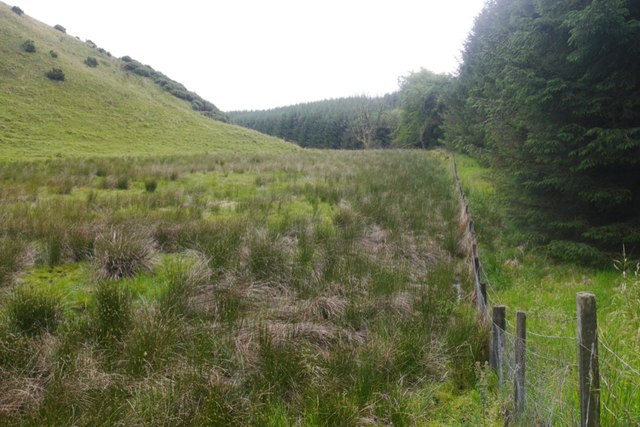
The woodland is predominantly made up of native species, including oak, birch, beech, and pine trees, which provide a stunning display of colors throughout the year. The mix of deciduous and coniferous trees creates a unique and enchanting atmosphere, attracting nature lovers and hikers alike.

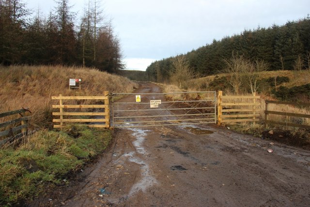
Breadleas Plantation offers a variety of walking trails, making it an ideal destination for outdoor enthusiasts. The paths wind through the woodland, providing opportunities to immerse oneself in nature and enjoy the tranquility of the surroundings. Along the way, visitors may encounter various wildlife species, such as deer, squirrels, and a plethora of bird species.

The plantation is also a popular spot for picnics and family outings. Scattered throughout the woodland are several picnic areas, equipped with benches and tables, where visitors can relax and enjoy the beautiful scenery.

Breadleas Plantation is managed by local authorities to ensure the preservation of its natural beauty and ecological balance. It serves as an important habitat for many species and plays a vital role in maintaining the region's biodiversity.

Overall, Breadleas Plantation offers a peaceful and idyllic retreat from the hustle and bustle of everyday life, providing a haven for nature enthusiasts and those seeking a serene escape in the heart of Fife.

If you have any feedback on the listing, please let us know in the comments section below.

Breadleas Plantation Images

Images are sourced within 2km of 56.136344/-3.5335797 or Grid Reference NT0494. Thanks to Geograph Open Source API. All images are credited.

Outh Hill Outh Hill from Park Hill, with the distinctive communication masts of Knock Hill in the background.
Outh Hill
Outh Hill from Park Hill, with the distinctive communication masts of Knock Hill in the background.
Evening light at Outh
Roadside trees below Lethans Muir
Valley of the Black Devon
Forest access in Lethans Glen
Old Milepost by the A823, Hill End, Saline parish H type by the A823, in parish of Saline (Fife District), Hill End, North of Hill End.

Inscription reads:-
: {arrow} / DUNFERMLINE / 8 MILES : : {arrow} / RUMBLING / BRIDGE / 2½ MILES :

Grade C(S) listed. Number: LB45592
<span class="nowrap"><a title="http://portal.historicenvironment.scot/designation/LB45592" rel="nofollow ugc noopener" href="http://portal.historicenvironment.scot/designation/LB45592">Link</a><img style="margin-left:2px;" alt="External link" title="External link - shift click to open in new window" src="https://s1.geograph.org.uk/img/external.png" width="10" height="10"/></span>

Surveyed

Milestone Society National ID: FF_DFRB08
Old Milepost by the A823, Hill End, Saline parish
H type by the A823, in parish of Saline (Fife District), Hill End, North of Hill End. Inscription reads:- : {arrow} / DUNFERMLINE / 8 MILES : : {arrow} / RUMBLING / BRIDGE / 2½ MILES : Grade C(S) listed. Number: LB45592 LinkExternal link Surveyed Milestone Society National ID: FF_DFRB08
Old Milestone by the A823, northwest of Outh, Dunfermline parish H casting by the A823, in parish of Dunfermline (Fife District), Northwest of Outh, on narrow verge near brow, North side of road.

Inscription reads:-
: {arrow->} / DUNFERMLINE / 6 MILES : : {<-arrow} / RUMBLING / BRIDGE / (4)½ MILES :

HES Grade C(S) listed.
Reference: LB45591 <span class="nowrap"><a title="http://portal.historicenvironment.scot/designation/LB45591" rel="nofollow ugc noopener" href="http://portal.historicenvironment.scot/designation/LB45591">Link</a><img style="margin-left:2px;" alt="External link" title="External link - shift click to open in new window" src="https://s1.geograph.org.uk/img/external.png" width="10" height="10"/></span>

Milestone Society National ID: FF_DFRB06
Old Milestone by the A823, northwest of Outh, Dunfermline parish
H casting by the A823, in parish of Dunfermline (Fife District), Northwest of Outh, on narrow verge near brow, North side of road. Inscription reads:- : {arrow->} / DUNFERMLINE / 6 MILES : : {<-arrow} / RUMBLING / BRIDGE / (4)½ MILES : HES Grade C(S) listed. Reference: LB45591 LinkExternal link Milestone Society National ID: FF_DFRB06
On Knock Hill A view towards the neighbouring Saline Hill from the summit of Knock Hill.
On Knock Hill
A view towards the neighbouring Saline Hill from the summit of Knock Hill.
Knock Hill View from the north, near the motor racing circuit.
Knock Hill
View from the north, near the motor racing circuit.
Knockhill Racing Circuit, Near Dunfermline, Fife Opened in 1974, the Knockhill circuit is known as Scotland’s national motorsport centre.
Built in open countryside on the site of a former sheep farm, the track boasts unique twists, drops and climbs, as well as the ability to be run in both clockwise and anticlockwise layouts.
Here, a participant in the ‘Ferrari Experience’ accelerates hard up the pit straight.
Knockhill Racing Circuit, Near Dunfermline, Fife
Opened in 1974, the Knockhill circuit is known as Scotland’s national motorsport centre. Built in open countryside on the site of a former sheep farm, the track boasts unique twists, drops and climbs, as well as the ability to be run in both clockwise and anticlockwise layouts. Here, a participant in the ‘Ferrari Experience’ accelerates hard up the pit straight.
A823, Oath A very quiet road passing the western side of the Cleish Hills.
A823, Oath
A very quiet road passing the western side of the Cleish Hills.
View down the Black Devon From the road at Oath.
View down the Black Devon
From the road at Oath.
On Oath Hill View over North Lethans towards forested Wether Hill.
On Oath Hill
View over North Lethans towards forested Wether Hill.
Summit, Oath Hill Marked by a system of banks, old field boundaries.
Summit, Oath Hill
Marked by a system of banks, old field boundaries.
Oath Hill Sheep pasture in the Cleish Hills, once enclosed. Lower ground beyond is very boggy.
Oath Hill
Sheep pasture in the Cleish Hills, once enclosed. Lower ground beyond is very boggy.
Quarry, Lethans The road continues to the end of the ridge below Wether Hill.
Quarry, Lethans
The road continues to the end of the ridge below Wether Hill.
Lime kiln, Lethans The landscape is dominated by craggy igneous small hills, but this suggests limestone is also present probably in the coal measures.
Lime kiln, Lethans
The landscape is dominated by craggy igneous small hills, but this suggests limestone is also present probably in the coal measures.
Woodland edge The edge of the Wether Hill forestry below Scaur Hill. The open land is grazed by cattle.
Woodland edge
The edge of the Wether Hill forestry below Scaur Hill. The open land is grazed by cattle.
Show me another place!

Breadleas Plantation is located at Grid Ref: NT0494 (Lat: 56.136344, Lng: -3.5335797)

Unitary Authority: Fife

Police Authority: Fife

What 3 Words

///glow.committed.like. Near Saline, Fife

Related Wikis

Knockhill

Knockhill Racing Circuit is a motor racing circuit in Fife, Scotland. It opened in September 1974 and is Scotland's national motorsport centre. The circuit...

Black Devon

The Black Devon is a river in Scotland. It rises in the Cleish Hills, specifically the area known as Outh Muir, 1.5 kilometres (0.93 mi) north of Knockhill...

Steelend

Steelend is a former mining village in West Fife, Scotland, located on the B914 road approximately three-quarters of a mile east of the village of Saline...

Dunfermline (district)

Dunfermline (Scottish Gaelic: Dùn Phàrlain, Scots: Dunfaurlin) was a local government district in the Fife region of Scotland from 1975 to 1996, lying...

Nearby Amenities

Located within 500m of 56.136344,-3.5335797
Power: pole
Lat/Long: 56.1395624/-3.5388274
Power: pole
Lat/Long: 56.1397133/-3.5376212
Power: pole
Lat/Long: 56.1398699/-3.536339
Power: pole
Lat/Long: 56.1400196/-3.5351943
Power: pole
Lat/Long: 56.1401785/-3.5339676
Power: pole
Lat/Long: 56.1401225/-3.532669
Power: pole
Lat/Long: 56.1400733/-3.5313868
Power: pole
Lat/Long: 56.1400264/-3.5302093
Power: pole
Lat/Long: 56.1399739/-3.5289682
The data included in this document is from www.openstreetmap.org. The data is made available under ODbL.

Have you been to Breadleas Plantation?

Leave your review of Breadleas Plantation below (or comments, questions and feedback).