Shawfoot Plantation
Wood, Forest in Dumfriesshire
Scotland
Shawfoot Plantation
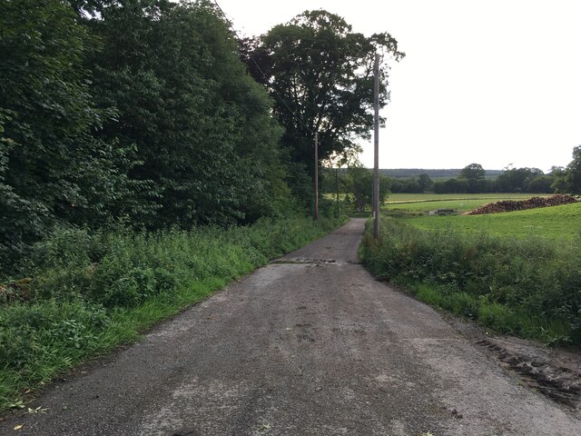
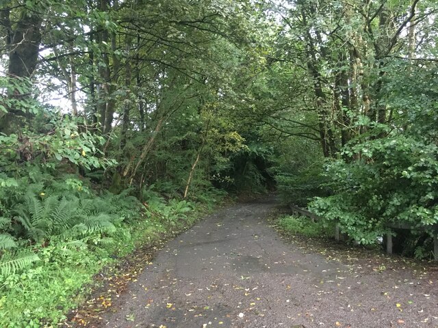
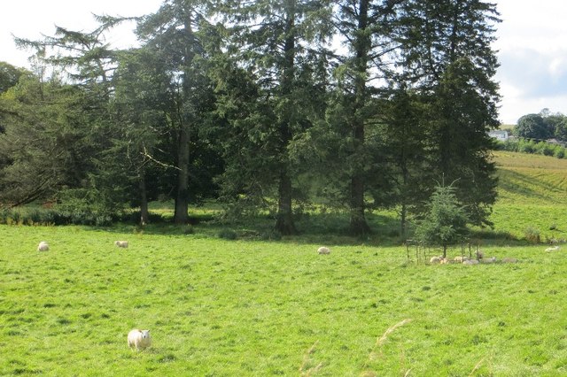
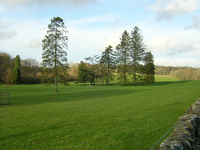
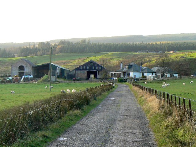
Shawfoot Plantation is a picturesque woodland area located in Dumfriesshire, Scotland. Situated near the small village of Shawhead, the plantation covers a vast expanse of approximately 500 acres. The area is renowned for its natural beauty and is a popular destination for outdoor enthusiasts and nature lovers.
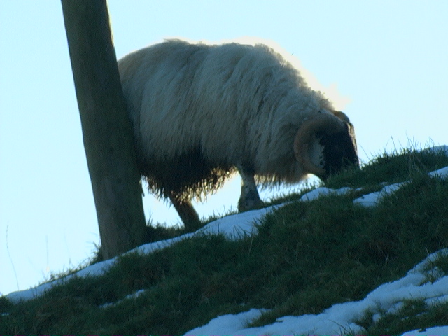
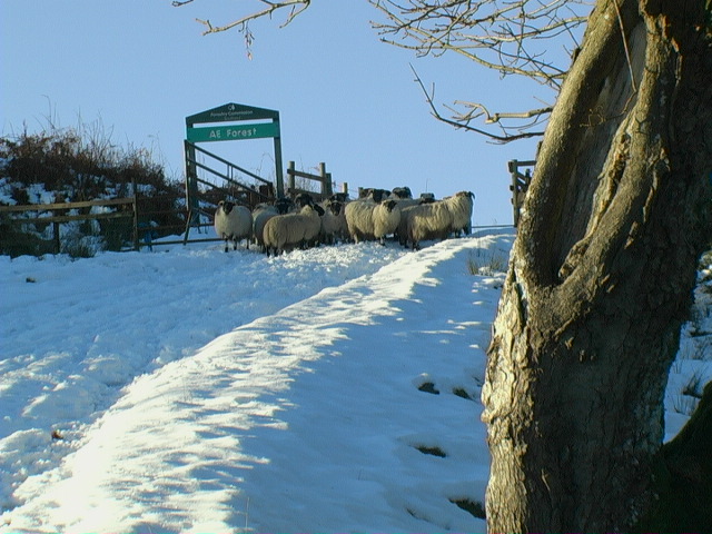
The plantation predominantly consists of a mix of native Scottish tree species, including oak, birch, and pine. These trees create a dense canopy, providing a habitat for a wide variety of wildlife. Visitors to Shawfoot Plantation can expect to encounter an array of bird species, such as woodpeckers and owls, as well as small mammals like squirrels and rabbits.
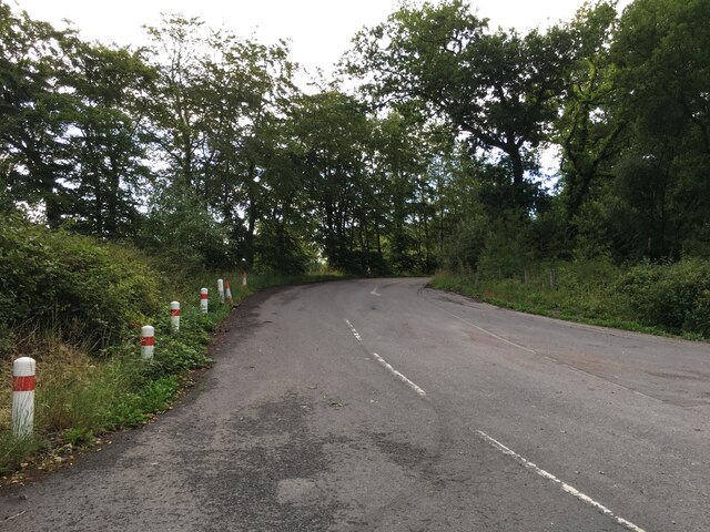
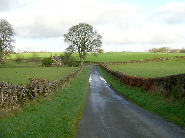
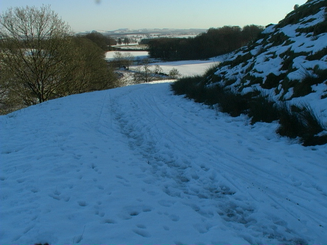
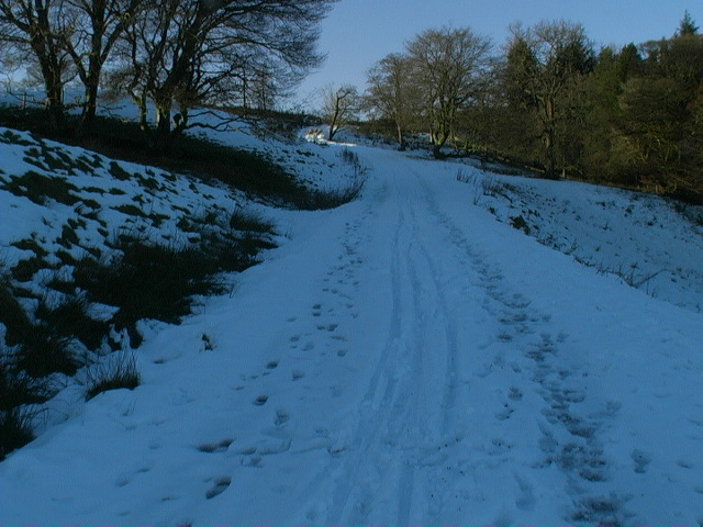
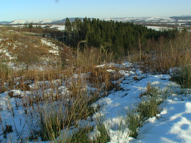
The woodland is crisscrossed with well-maintained trails, making it accessible for walkers and hikers of all abilities. These paths offer visitors the opportunity to explore the plantation's diverse flora and fauna, while also enjoying stunning views of the surrounding countryside.
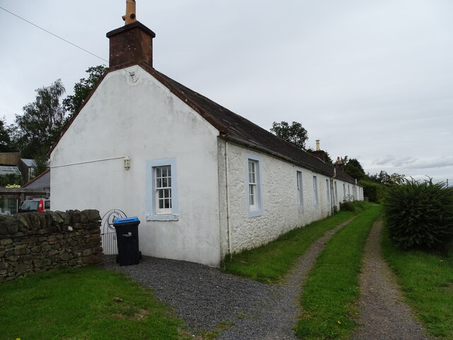
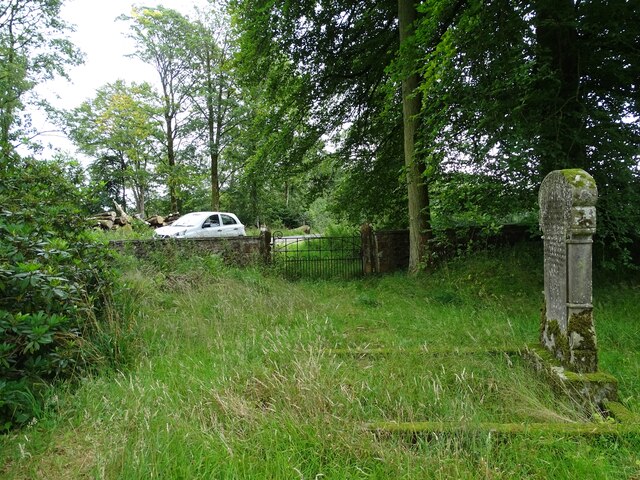
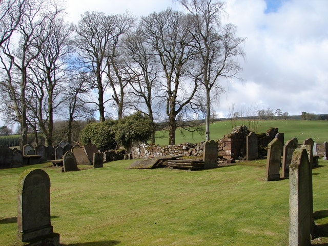
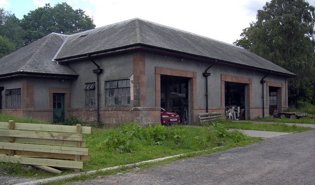
In addition to its natural beauty, Shawfoot Plantation also has historical significance. The area was once part of a larger estate and has remnants of old structures, such as stone walls and ruins, that harken back to its past.
Overall, Shawfoot Plantation is a fascinating and enchanting woodland area in Dumfriesshire. Its rich biodiversity, scenic trails, and historical features make it a must-visit destination for those seeking a tranquil escape in the heart of Scotland's countryside.
If you have any feedback on the listing, please let us know in the comments section below.
Shawfoot Plantation Images
Images are sourced within 2km of 55.194774/-3.511919 or Grid Reference NY0389. Thanks to Geograph Open Source API. All images are credited.
Shawfoot Plantation is located at Grid Ref: NY0389 (Lat: 55.194774, Lng: -3.511919)
Unitary Authority: Dumfries and Galloway
Police Authority: Dumfries and Galloway
What 3 Words
///divisible.lollipop.bolsters. Near Johnstonebridge, Dumfries & Galloway
Nearby Locations
Related Wikis

Wallace's House
Wallace's House is an earthen rampart, located near Lochmaben, Scotland, that is associated with William Wallace. The promontory fort is a scheduled item...

Dumfriesshire, Clydesdale and Tweeddale (UK Parliament constituency)
Dumfriesshire, Clydesdale and Tweeddale is a constituency of the House of Commons, located in the South of Scotland, within the Dumfries and Galloway,...

Parkgate, Dumfries and Galloway
Parkgate is a small village in Dumfries and Galloway, Scotland. The village centre is located just to the east of the A701 approximately 8 miles (13 km...

Dumfriesshire
Dumfriesshire or the County of Dumfries or Shire of Dumfries (Scottish Gaelic: Siorrachd Dhùn Phris) is a historic county and registration county in southern...
Nearby Amenities
Located within 500m of 55.194774,-3.511919Have you been to Shawfoot Plantation?
Leave your review of Shawfoot Plantation below (or comments, questions and feedback).