Law Wood

Wood, Forest in West Lothian

Scotland

Law Wood

Road, Binny Oatridge Golf Club lurks behind the wall and wood.
Road, Binny Credit: Richard Webb

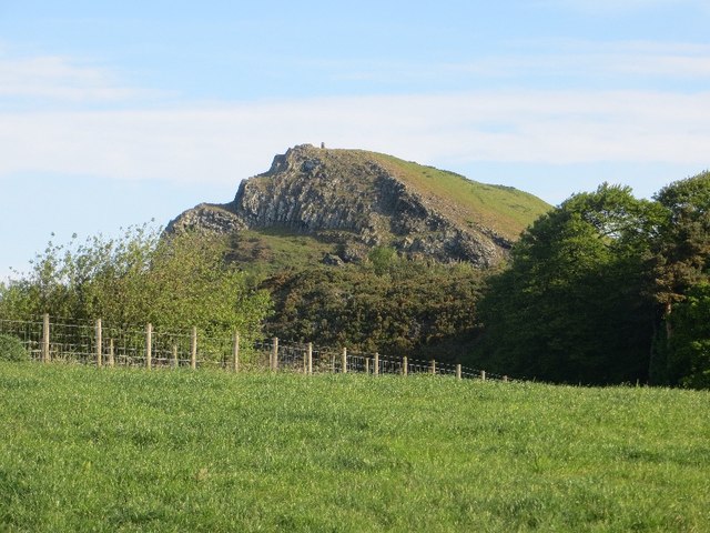
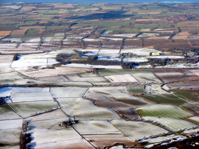
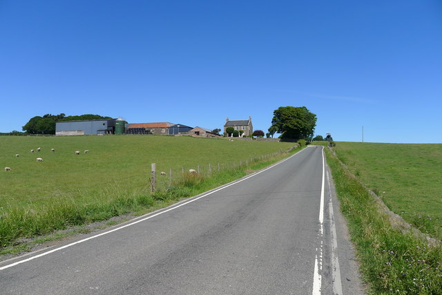
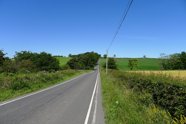
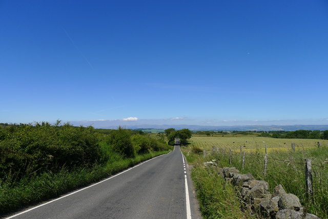
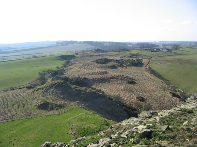
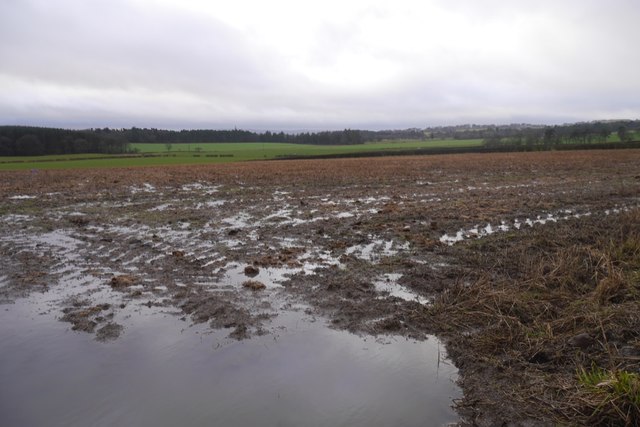
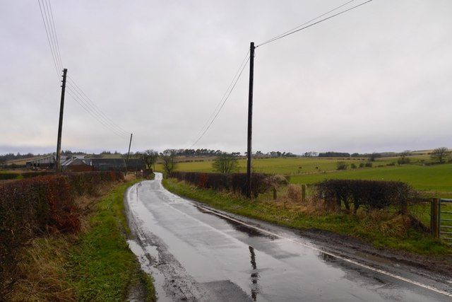
Law Wood is a small forest located in West Lothian, Scotland. Nestled in the scenic countryside, it covers an area of approximately 100 hectares and is known for its diverse flora and fauna. The wood is situated near the town of Bathgate and is easily accessible by road.

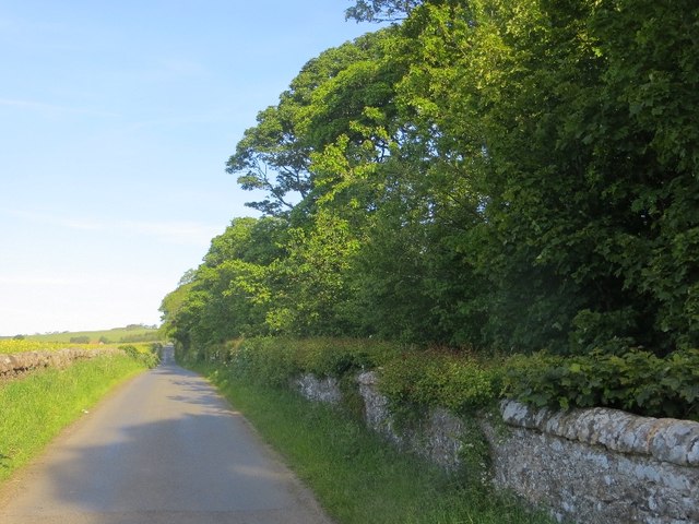
The forest is predominantly composed of broadleaf trees, including oak, birch, and hazel. These trees provide a picturesque landscape, especially during the autumn months when the leaves turn vibrant shades of red and gold. Additionally, there are several coniferous trees, such as Scots pine and Norway spruce, interspersed throughout the wood.

Law Wood is a popular destination for nature lovers and outdoor enthusiasts. It offers a network of well-maintained trails, making it an ideal location for walking, hiking, and cycling. The trails wind through the forest, offering visitors the opportunity to explore its hidden corners and discover its natural treasures.

Wildlife is abundant in Law Wood, with a variety of bird species, including woodpeckers, finches, and owls, making their homes amidst the trees. Deer, foxes, and squirrels can also be spotted, adding to the allure of the wood.

The forest is managed by the Forestry and Land Scotland, which ensures the preservation of its natural beauty and the protection of its inhabitants. Law Wood offers a tranquil escape from the bustling city life, allowing visitors to reconnect with nature and enjoy the peaceful surroundings.

If you have any feedback on the listing, please let us know in the comments section below.

Law Wood Images

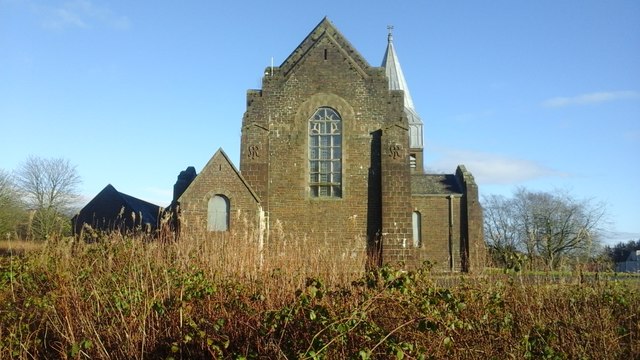
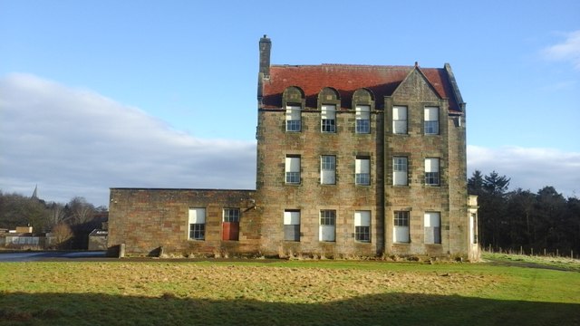
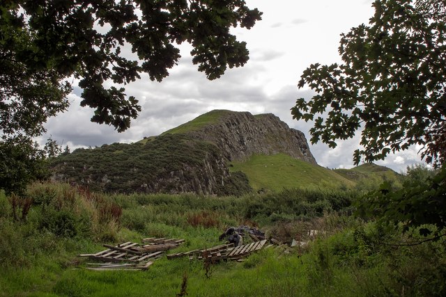
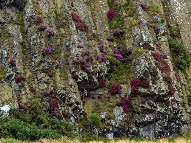
Images are sourced within 2km of 55.931653/-3.540993 or Grid Reference NT0372. Thanks to Geograph Open Source API. All images are credited.

Road, Binny Oatridge Golf Club lurks behind the wall and wood.
Road, Binny
Oatridge Golf Club lurks behind the wall and wood.
Binny Craig A quarried igneous outcrop and local landmark.
Binny Craig
A quarried igneous outcrop and local landmark.
Cut grass, West Binney Silage production in West Lothian.
Cut grass, West Binney
Silage production in West Lothian.
Fields at Fortneuk, Uphall
Bangour Hospital Church Bangour Village Hospital Church.
Bangour Hospital Church
Bangour Village Hospital Church.
Bangour Village Hospital Derelict building on Bangour Village Hospital.
Bangour Village Hospital
Derelict building on Bangour Village Hospital.
Binnie Craig from Hangingside The farm rubbish dump in the foreground detracts from the pleasant view of the Binnie Craig west facing rock face.
Binnie Craig from Hangingside
The farm rubbish dump in the foreground detracts from the pleasant view of the Binnie Craig west facing rock face.
Heathers on Binnie Craig A fine display of heathers on the most northerly of the line of west facing crags on Binnie Craig.
Heathers on Binnie Craig
A fine display of heathers on the most northerly of the line of west facing crags on Binnie Craig.
West Lothian fieldscape Looking north from over Livingston. Binny Craig is at left centre, at the end of the line of trees; Blackness is at upper right on the shore of the Firth of Forth
West Lothian fieldscape
Looking north from over Livingston. Binny Craig is at left centre, at the end of the line of trees; Blackness is at upper right on the shore of the Firth of Forth
The A89 approaching Dechmont Roundabout Many of the newer roads in Scotland are well served by broad foot/cycle paths
The A89 approaching Dechmont Roundabout
Many of the newer roads in Scotland are well served by broad foot/cycle paths
Shops on Main Street, Dechmont A very agreeable brunch from the sandwich bar
Shops on Main Street, Dechmont
A very agreeable brunch from the sandwich bar
Burnhouse Road leaving Dechmont Burnhouse is the group of farm buildings on the far right
Burnhouse Road leaving Dechmont
Burnhouse is the group of farm buildings on the far right
Approaching Burnhouse
Road C21 crossing Binny Burn The bedrock geology and glaciation of Scotland's Central Lowlands (Midland Valley) has resulted in east-west trending dips in the topography, evident in the gentle dips visible in straight north-south roads such as this.
Road C21 crossing Binny Burn
The bedrock geology and glaciation of Scotland's Central Lowlands (Midland Valley) has resulted in east-west trending dips in the topography, evident in the gentle dips visible in straight north-south roads such as this.
The C21 crossing Mains Burn The bedrock geology and glaciation of Scotland's Central Lowlands (Midland Valley) has resulted in east-west trending dips in the topography, evident in the gentle dips visible in straight north-south roads such as this.
The C21 crossing Mains Burn
The bedrock geology and glaciation of Scotland's Central Lowlands (Midland Valley) has resulted in east-west trending dips in the topography, evident in the gentle dips visible in straight north-south roads such as this.
Young woodland below Binny Craig The path to Binny Craig runs through a newly planted woodland.
Young woodland below Binny Craig
The path to Binny Craig runs through a newly planted woodland.
Stubble, Blackcraig During a prolonged wet spell.
Stubble, Blackcraig
During a prolonged wet spell.
Road passing Blackcraig High ground north of Dechmont.
Road passing Blackcraig
High ground north of Dechmont.
Show me another place!

Law Wood is located at Grid Ref: NT0372 (Lat: 55.931653, Lng: -3.540993)

Unitary Authority: West Lothian

Police Authority: The Lothians and Scottish Borders

What 3 Words

///outnumber.runner.adjuster. Near Livingston, West Lothian

Nearby Locations

Law Wood

Related Wikis

Bangour General Hospital

Bangour General Hospital was a hospital just west of the village of Dechmont, West Lothian, Scotland. It had its origins during the Second World War when...

Bangour Village Hospital

Bangour Village Hospital was a psychiatric hospital located west of Dechmont in West Lothian, Scotland. During the First World War it formed part of the...
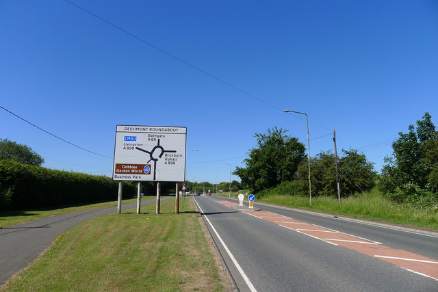
A899 road

The A899 is a road in West Lothian, Scotland, connecting Broxburn to Livingston. It runs from a junction with the A89 at the East Mains Industrial Estate...
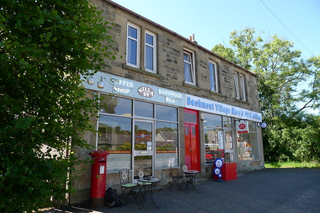
Dechmont

Dechmont (Gaelic: Deagh Mhonadh) is a small village located near Uphall, West Lothian in Scotland. Bangour Village Hospital is located to the west of Dechmont...

Nearby Amenities

Located within 500m of 55.931653,-3.540993
Material: wood
Power: pole
Lat/Long: 55.9289108/-3.5405537
Material: wood
Power: pole
Lat/Long: 55.9296336/-3.5360878
Material: wood
Power: pole
Lat/Long: 55.9301367/-3.5341081
Material: wood
Power: pole
Lat/Long: 55.9279807/-3.5430401
Material: wood
Power: pole
Lat/Long: 55.9298828/-3.5351354
Material: wood
Power: pole
Lat/Long: 55.9290954/-3.5394215
Material: wood
Power: pole
Lat/Long: 55.9294936/-3.5370934
Material: wood
Power: pole
Lat/Long: 55.9283545/-3.5421274
Material: wood
Power: pole
Lat/Long: 55.9275524/-3.5440298
Material: wood
Power: pole
Lat/Long: 55.929309/-3.5381424
Power: pole
Lat/Long: 55.9306537/-3.5425112
Power: pole
Lat/Long: 55.9313189/-3.542242
Power: pole
Lat/Long: 55.931894/-3.5420834
Power: pole
Lat/Long: 55.9324178/-3.5420417
Power: pole
Lat/Long: 55.9314709/-3.5470835
Power: pole
Lat/Long: 55.931278/-3.5460317
Power: pole
Lat/Long: 55.9310652/-3.5448715
Power: pole
Lat/Long: 55.930856/-3.5436799
Power: pole
Lat/Long: 55.9304748/-3.541616
Power: pole
Lat/Long: 55.9302668/-3.5404578
Power: pole
Lat/Long: 55.9300949/-3.539479
Power: pole
Lat/Long: 55.9299079/-3.5384314
Power: pole
Lat/Long: 55.9297161/-3.5374005
Power: pole
Lat/Long: 55.9295267/-3.536355
Power: pole
Lat/Long: 55.9288592/-3.5360816
Power: pole
Lat/Long: 55.9282244/-3.5358604
Power: pole
Lat/Long: 55.9272446/-3.5405559
The data included in this document is from www.openstreetmap.org. The data is made available under ODbL.

Have you been to Law Wood?

Leave your review of Law Wood below (or comments, questions and feedback).