Ballieward Belts
Wood, Forest in Morayshire
Scotland
Ballieward Belts
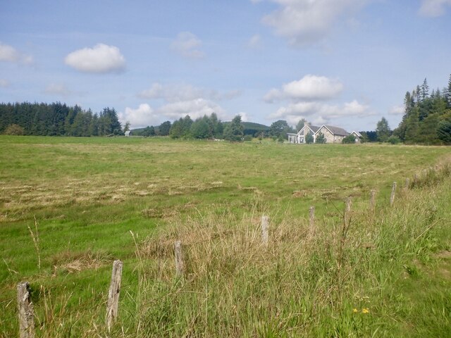
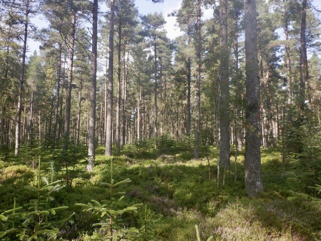
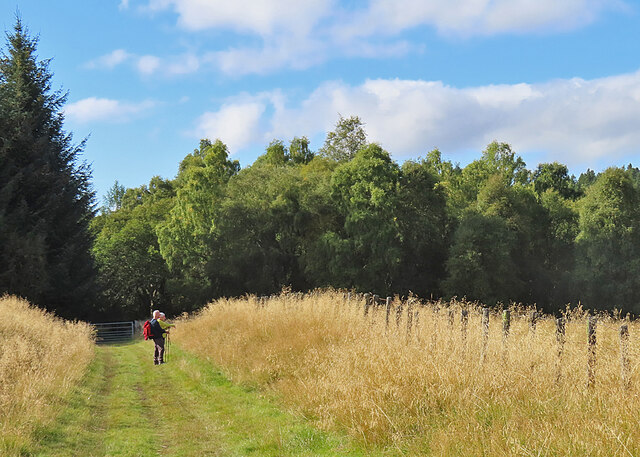
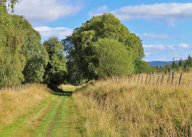
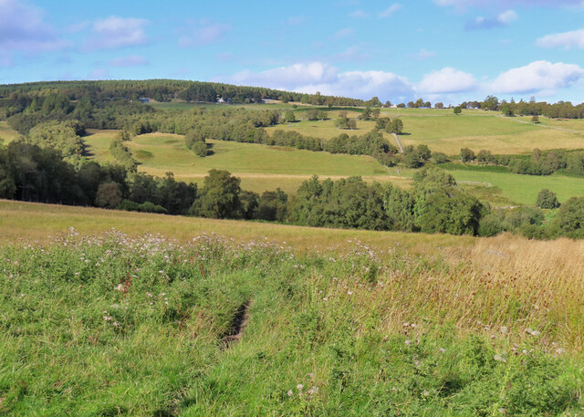
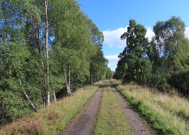
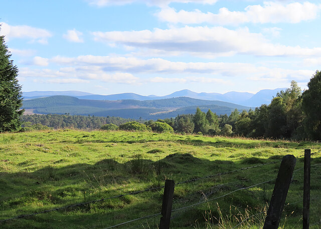
Ballieward Belts is a scenic woodland area located in Morayshire, Scotland. Situated near the village of Ballieward, this forested region covers a vast expanse of approximately 500 acres. The area is renowned for its diverse and abundant flora and fauna, making it a popular destination for nature enthusiasts and outdoor adventurers alike.
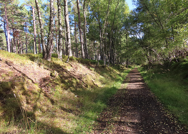
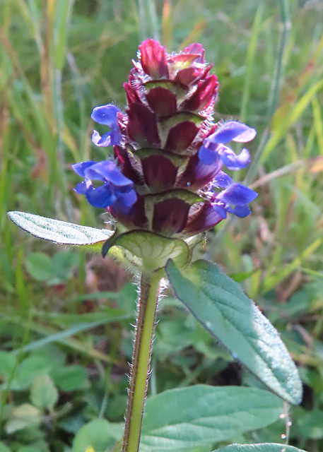
The woodland is predominantly composed of various species of native Scottish trees, including oak, birch, pine, and ash. These towering trees create a dense canopy that provides a sheltered and tranquil environment for both wildlife and visitors. Walking through the forest, one can admire the vibrant green undergrowth, carpeted with ferns, mosses, and wildflowers, adding to the enchanting atmosphere.
Ballieward Belts is home to a rich array of wildlife, serving as a habitat for numerous species. Birdwatchers can spot various birds such as woodpeckers, owls, and songbirds flitting among the branches. The forest also supports a diverse population of mammals, including red squirrels, badgers, and roe deer, which can often be seen foraging or grazing in the woodland clearings.
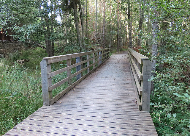
For outdoor enthusiasts, Ballieward Belts offers an extensive network of walking trails, allowing visitors to explore the forest at their own pace. These trails cater to different levels of difficulty, ranging from gentle strolls to more challenging hikes. Along the way, there are plenty of opportunities to observe the natural beauty of the forest, with several viewpoints offering breathtaking vistas of the surrounding Morayshire countryside.
Overall, Ballieward Belts in Morayshire is a captivating woodland retreat, providing a haven for wildlife and an escape for nature lovers seeking tranquility and natural beauty.
If you have any feedback on the listing, please let us know in the comments section below.
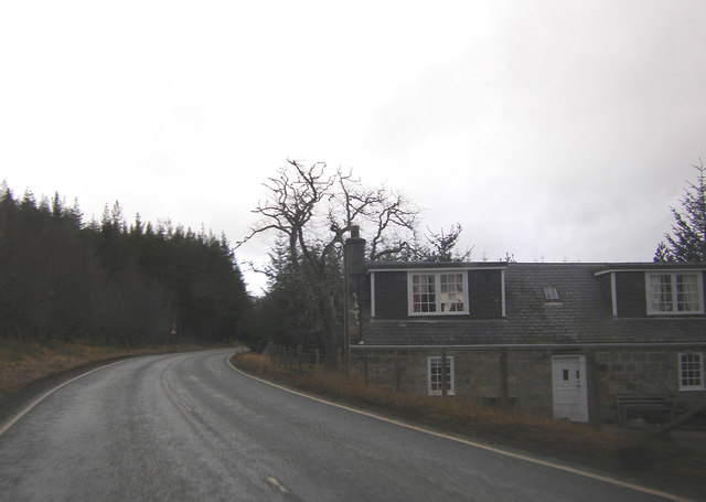
Ballieward Belts Images
Images are sourced within 2km of 57.355668/-3.6066148 or Grid Reference NJ0330. Thanks to Geograph Open Source API. All images are credited.


Ballieward Belts is located at Grid Ref: NJ0330 (Lat: 57.355668, Lng: -3.6066148)
Unitary Authority: Highland
Police Authority: Highlands and Islands
What 3 Words
///glossed.crumbles.advancing. Near Grantown-on-Spey, Highland
Nearby Locations
Related Wikis

Castle Grant platform railway station
Castle Grant platform railway station was a railway station serving Castle Grant, in Strathspey in Scotland. == History == This station was opened with...

Castle Grant
Castle Grant stands a mile north of Grantown-on-Spey and was the former seat of the Clan Grant chiefs of Strathspey in Highlands, Scotland. It was originally...

Ian Charles Community Hospital
Ian Charles Community Hospital is a health facility in Castle Road East, Grantown-on-Spey, Scotland. It is managed by NHS Highland. == History == The facility...

Strathspey Thistle F.C.
Strathspey Thistle Football Club are a senior football club from Grantown-on-Spey in the Highlands of Scotland. They currently play in the Highland Football...

Grantown-on-Spey
Grantown-on-Spey (Scottish Gaelic: Baile nan Granndach) is a town in the Highland Council Area, historically within the county of Moray. It is located...
Inverallan
Inverallan is one of the parishes which formed the ecclesiastical (later civil) parish of "Cromdale, Inverallan and Advie" in Morayshire in Scotland. It...
Grantown-on-Spey (West) railway station
Grantown-on-Spey (West) railway station was opened with the Inverness and Perth Junction Railway in 1863. Originally appearing on timetables as 'Grantown...
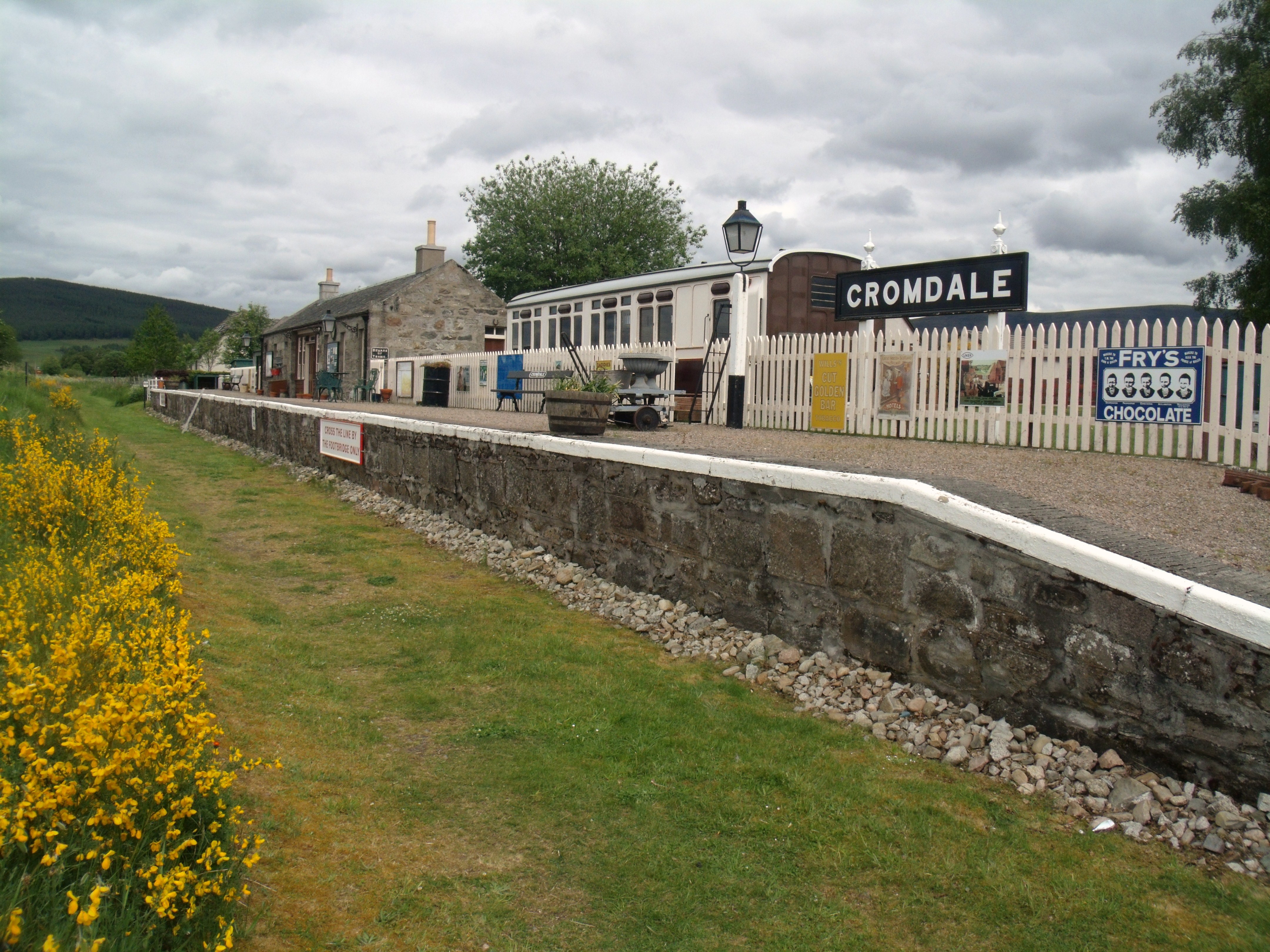
Cromdale railway station
Cromdale railway station served the village of Cromdale, Highland, in Scotland. == History == The station was opened by the Strathspey Railway (GNoSR)...
Nearby Amenities
Located within 500m of 57.355668,-3.6066148Have you been to Ballieward Belts?
Leave your review of Ballieward Belts below (or comments, questions and feedback).