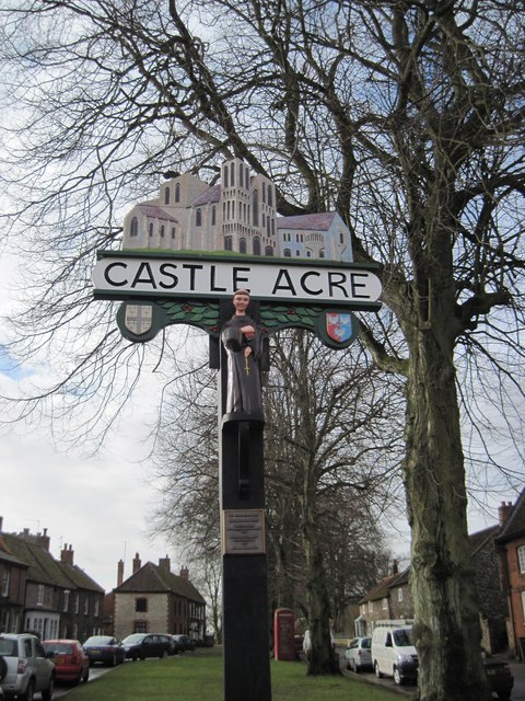
Castle Acre
Settlement in Norfolk King's Lynn and West Norfolk
England
Castle Acre
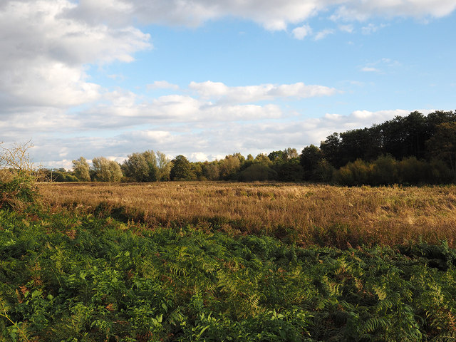
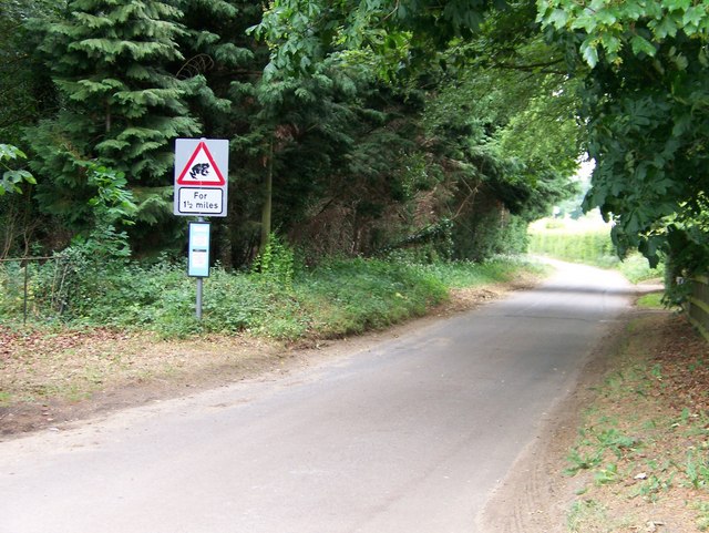
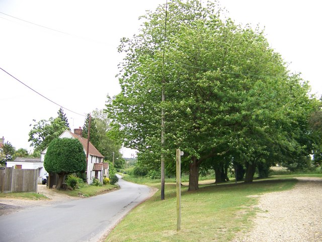
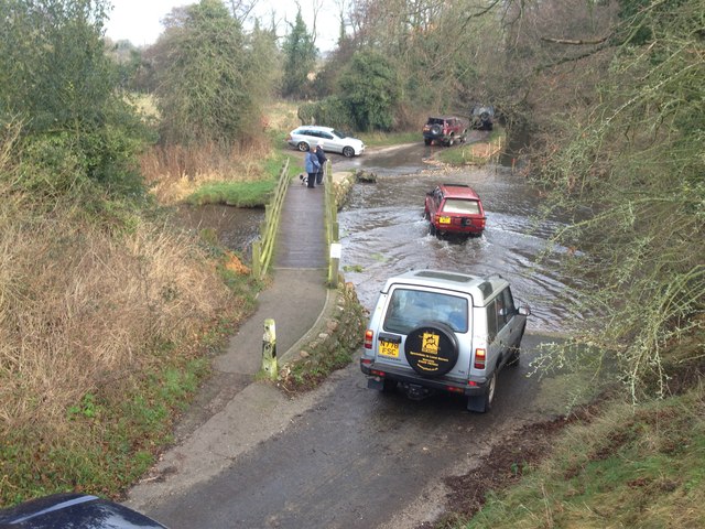
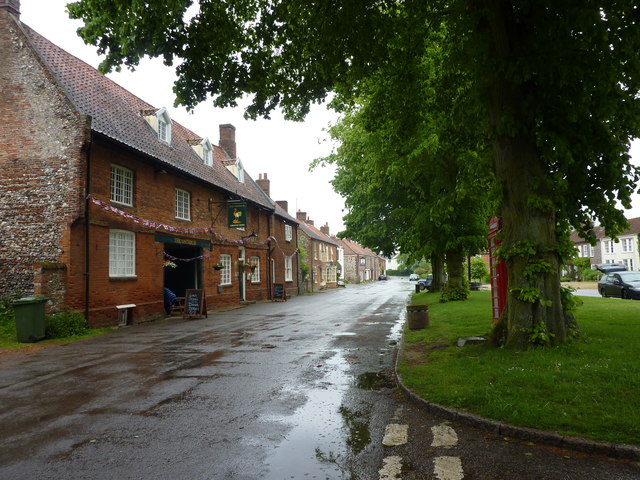
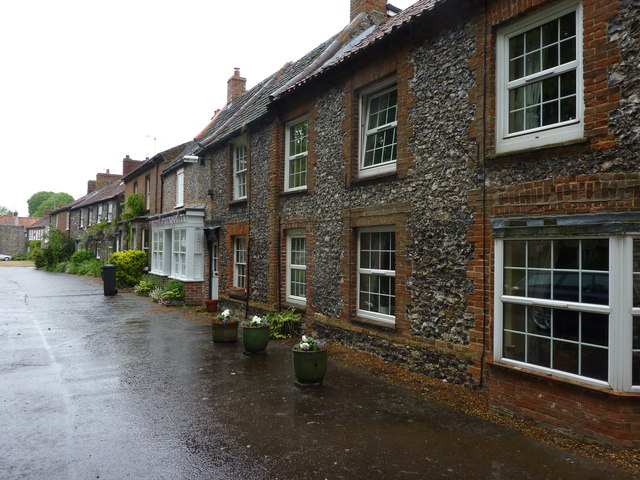
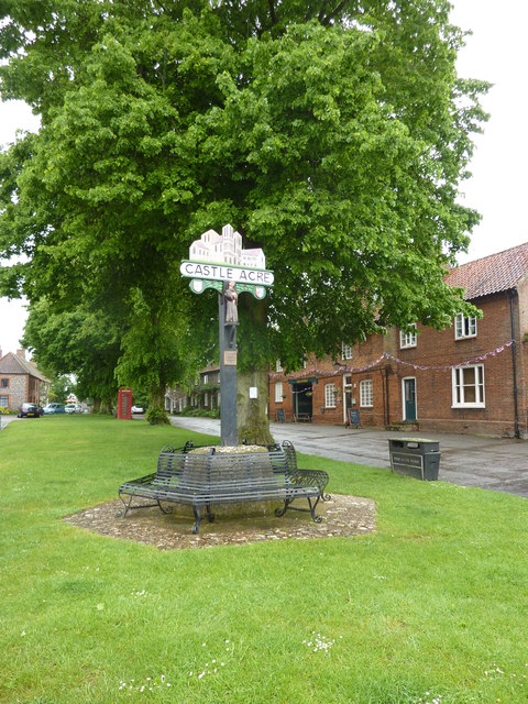
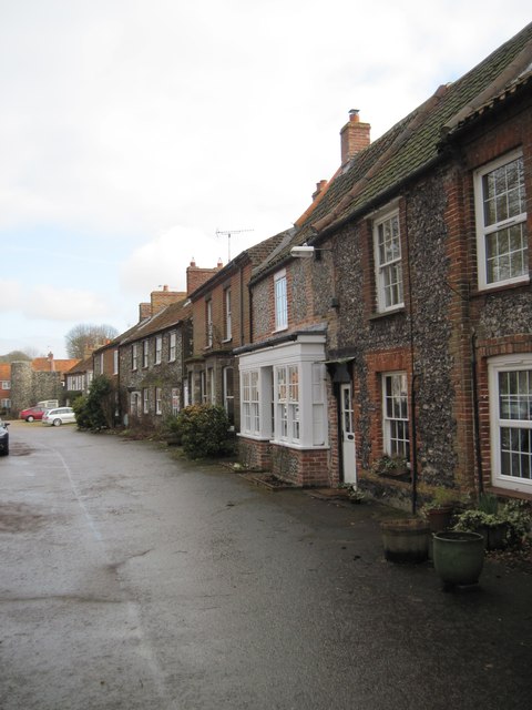
Castle Acre is a picturesque village located in the county of Norfolk, England. Situated approximately 10 miles east of King's Lynn, the village is known for its rich history and well-preserved medieval architecture. The village lies on the River Nar and is surrounded by scenic countryside, offering visitors a tranquil and idyllic setting.
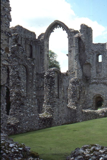
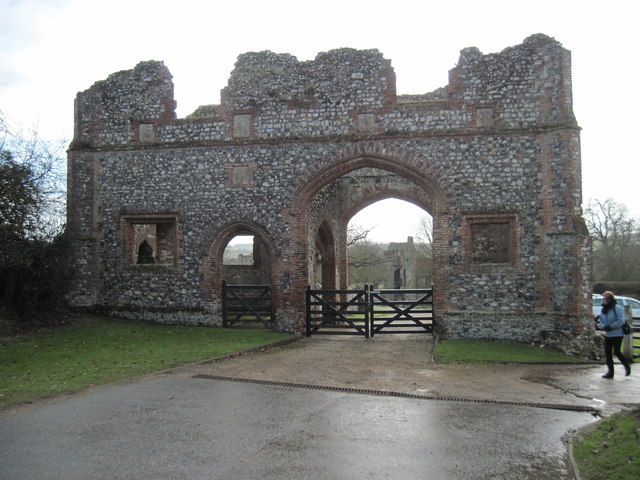
The centerpiece of Castle Acre is its impressive castle ruins, which date back to the 12th century. The castle was built by William de Warenne, the first Earl of Surrey, and served as a strategic stronghold during the Norman Conquest. Today, visitors can explore the remains of the castle, including its imposing stone walls and the well-preserved earthworks.
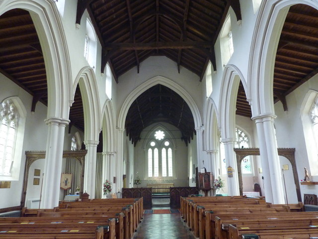
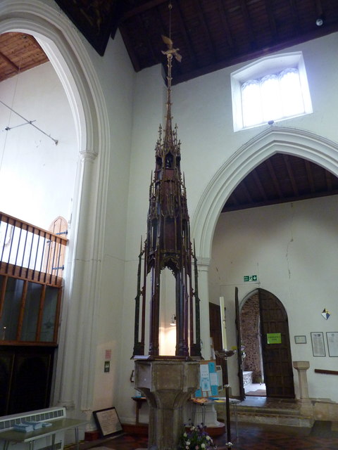
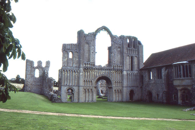
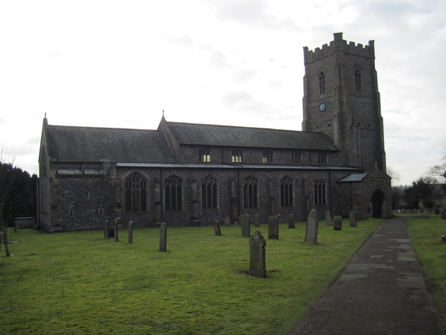
Another prominent feature of Castle Acre is the Cluniac Priory, one of the largest and best-preserved monastic sites in England. Founded in 1090, the priory was home to a community of monks until the dissolution of the monasteries in the 16th century. The priory's remains include a beautiful church, cloister, and a recreated herb garden, providing a fascinating insight into medieval monastic life.
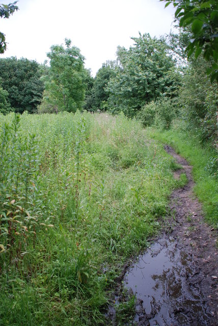
Aside from its historical attractions, Castle Acre offers a range of amenities for visitors, including charming tea rooms, traditional pubs, and quaint shops. The village is also an excellent base for exploring the surrounding Norfolk countryside, with numerous walking and cycling trails to choose from.
Overall, Castle Acre is a captivating destination that seamlessly blends history, natural beauty, and rural charm, making it a must-visit location for history enthusiasts and those seeking a peaceful retreat in the heart of Norfolk.
If you have any feedback on the listing, please let us know in the comments section below.
Castle Acre Images
Images are sourced within 2km of 52.704782/0.689178 or Grid Reference TF8115. Thanks to Geograph Open Source API. All images are credited.


Castle Acre is located at Grid Ref: TF8115 (Lat: 52.704782, Lng: 0.689178)
Administrative County: Norfolk
District: King's Lynn and West Norfolk
Police Authority: Norfolk
What 3 Words
///balanced.flopping.moment. Near Swaffham, Norfolk
Nearby Locations
Related Wikis

Castle Acre
Castle Acre is a village and civil parish in the English county of Norfolk. The village is situated on the River Nar some 4 miles (6.4 km) north of the...
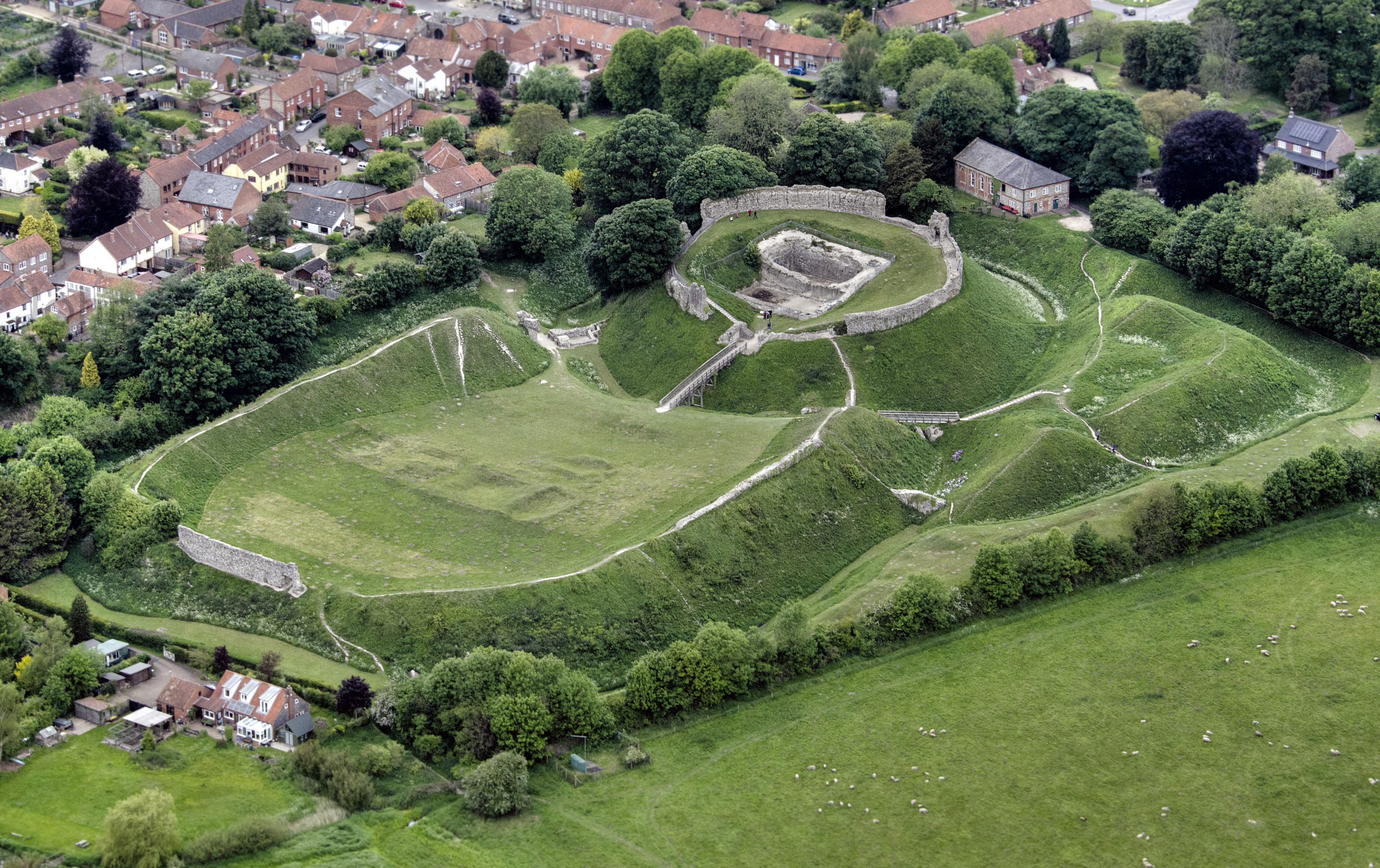
Castle Acre Castle and town walls
Castle Acre Castle and town walls are a set of ruined medieval defences built in the village of Castle Acre, Norfolk. The castle was built soon after the...

Castle Acre Priory
Castle Acre Priory was a Cluniac priory in the village of Castle Acre, Norfolk, England, dedicated to St Mary, St Peter, and St Paul. It is thought to...

South Acre
South Acre is a village and civil parish in the English county of Norfolk. The village has almost disappeared, but the remnants are located about 1 km...
Newton by Castle Acre
Newton by Castle Acre is a village, Anglican parish and civil parish in the Breckland district of the English county of Norfolk. It is situated on the...

Castle Acre Common
Castle Acre Common is a 17.8-hectare (44-acre) biological Site of Special Scientific Interest east of King's Lynn in Norfolk.This unimproved grazing marsh...

Peddars Way
The Peddars Way is a long distance footpath that passes through Suffolk and Norfolk, England. == Route == The Peddars Way is 46 miles (74 km) long and...

West Lexham
West Lexham is a village and former civil parish, now in the parish of Lexham, in the Breckland district, in the county of Norfolk, England. It is 5.9...
Nearby Amenities
Located within 500m of 52.704782,0.689178Have you been to Castle Acre?
Leave your review of Castle Acre below (or comments, questions and feedback).