Black Wood

Wood, Forest in Fife

Scotland

Black Wood

Stubble field at Carnock Moor
Stubble field at Carnock Moor Credit: M J Richardson

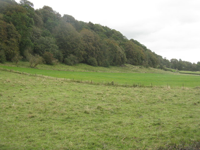
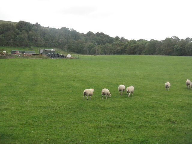
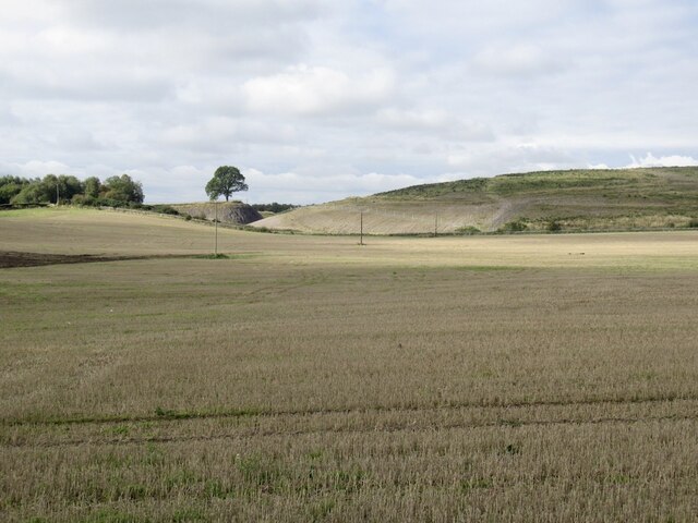
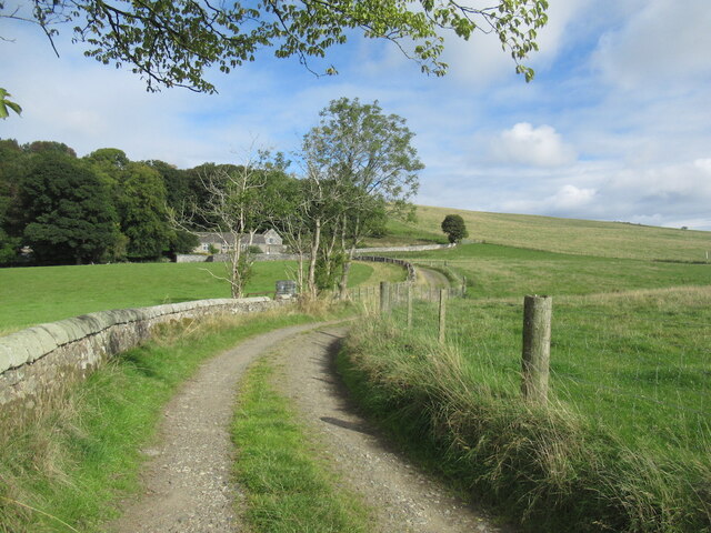
Black Wood is a dense forest located in Fife, Scotland. It covers an area of approximately 50 hectares and is situated near the village of Leslie. The woodland is predominantly composed of mature broadleaf trees, including oak, ash, beech, and birch.

The forest is known for its rich biodiversity and serves as a habitat for a variety of wildlife species. It provides a sanctuary for numerous bird species, such as woodpeckers, owls, and thrushes, making it a popular spot for birdwatching enthusiasts. Additionally, the forest is home to various mammals, including deer, foxes, and squirrels.

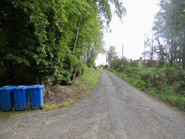
A network of well-maintained trails and footpaths runs through the woods, allowing visitors to explore the area while enjoying the tranquility of nature. These paths are suitable for both walkers and cyclists, providing opportunities for outdoor activities and recreational pursuits.

Black Wood also holds historical significance, as it was once part of the ancient Royal Forest of Kinglassie. The forest has remnants of old boundaries and ancient features, providing a glimpse into the area's past.

The woodland is managed by the Forestry and Land Scotland, which ensures the preservation of its natural beauty and the protection of its wildlife. Visitors are encouraged to respect the environment by following the designated trails and observing any signage.

Overall, Black Wood offers a serene and picturesque setting for nature lovers and outdoor enthusiasts. Its diverse ecosystem and historical significance make it a must-visit destination for those seeking a peaceful retreat in the heart of Fife.

If you have any feedback on the listing, please let us know in the comments section below.

Black Wood Images

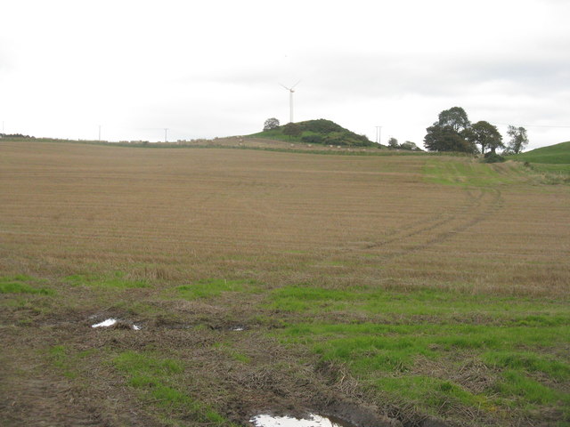
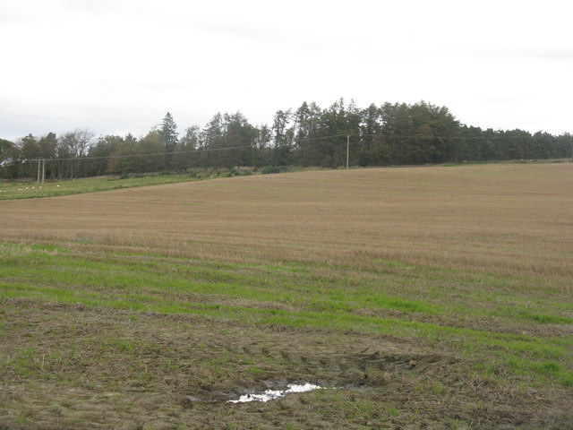
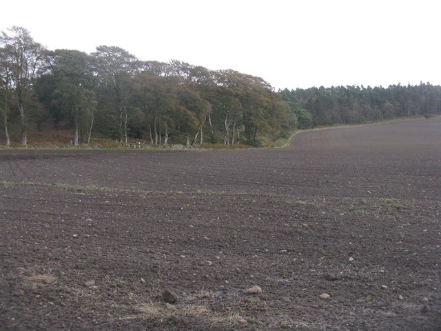
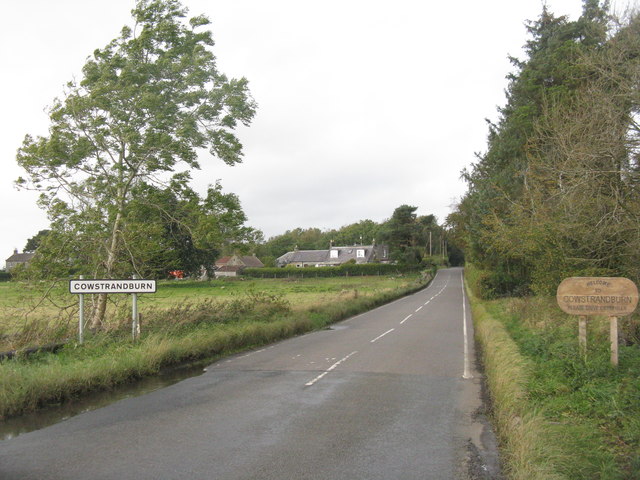
Images are sourced within 2km of 56.096448/-3.5636461 or Grid Reference NT0290. Thanks to Geograph Open Source API. All images are credited.

Stubble field at Carnock Moor
Carnock Moor Farmland rising gently to woodland on the higher ground of the moor.
Carnock Moor
Farmland rising gently to woodland on the higher ground of the moor.
Harvest stored near Kinneddar Park Silage bales - not sure if the wrapping colour is of any significance?
Harvest stored near Kinneddar Park
Silage bales - not sure if the wrapping colour is of any significance?
Sheep pasture at Muirside of Kinneddar
Grass fields at Kinneddar Park Possibly the source of the silage at <a href="https://www.geograph.org.uk/photo/6291724">NT0290 : Harvest stored near Kinneddar Park</a>.
Grass fields at Kinneddar Park
Possibly the source of the silage at NT0290 : Harvest stored near Kinneddar Park.
Loanhead Poultry Farm, Saline A large enterprise south of Saline.
Loanhead Poultry Farm, Saline
A large enterprise south of Saline.
Farmland near Kinneddar Cattle at pasture and field margin trees.
Farmland near Kinneddar
Cattle at pasture and field margin trees.
Just chilling out! Cattle across the road from Loanhead Poultry Farm.
Just chilling out!
Cattle across the road from Loanhead Poultry Farm.
'The Views' at Saline New housing on a 2-3-year old development on the south side of the village.
'The Views' at Saline
New housing on a 2-3-year old development on the south side of the village.
Newly sown field at Cowstrandburn No spilt grain, so no clues as to whether it is winter barley or wheat. With woodland on Carnock Moor beyond.
Newly sown field at Cowstrandburn
No spilt grain, so no clues as to whether it is winter barley or wheat. With woodland on Carnock Moor beyond.
Entering Cowstrandburn from the south A big name for a small place - there must be story behind the name.
Entering Cowstrandburn from the south
A big name for a small place - there must be story behind the name.
Trees on an escarpment near Saline Overlooking grass fields at Langfauld.
Trees on an escarpment near Saline
Overlooking grass fields at Langfauld.
Sheep at Langfauld Looking northeast to the woodland on the Bandrum escarpment.
Sheep at Langfauld
Looking northeast to the woodland on the Bandrum escarpment.
Stubble Towards Bonnar Law, a former opencast site
Stubble
Towards Bonnar Law, a former opencast site
Road to Rhynd
Road to Rhynd
Woodlands, Bandrum The road continues beyond Woodlands to Steelend.
Woodlands, Bandrum
The road continues beyond Woodlands to Steelend.
Road over Bandrum Hill The road continues to Steelend.
Road over Bandrum Hill
The road continues to Steelend.
On Bandrum Hill
On Bandrum Hill
Show me another place!

Black Wood is located at Grid Ref: NT0290 (Lat: 56.096448, Lng: -3.5636461)

Unitary Authority: Fife

Police Authority: Fife

What 3 Words

///ownership.promoting.proper. Near Oakley, Fife

Nearby Locations

Black Wood

Related Wikis

Oakley United F.C.

Oakley United Football Club are a Scottish football club based in Oakley, Fife. Formed in 1964, they play their home games at Blairwood Park. The club...

Comrie, Fife

Comrie ( locally or ); is a village in Fife, Scotland, located immediately west of the neighbouring village of Oakley, 6.2 miles (9.98 km) west of Dunfermline...

Oakley (Fife) railway station

Oakley (Fife) railway station served the village of Oakley, Fife, Scotland from 1850 to 1986 on the Stirling and Dunfermline Railway. == History == The...

Steelend

Steelend is a former mining village in West Fife, Scotland, located on the B914 road approximately three-quarters of a mile east of the village of Saline...

Nearby Amenities

Located within 500m of 56.096448,-3.5636461
Power: pole
Lat/Long: 56.0932833/-3.5692953
Power: pole
Lat/Long: 56.0934493/-3.5675499
Power: pole
Lat/Long: 56.0927242/-3.5638665
Power: pole
Lat/Long: 56.0925604/-3.5625598
Power: pole
Lat/Long: 56.0923916/-3.5612169
Power: pole
Lat/Long: 56.0931125/-3.565825
Power: pole
Lat/Long: 56.0929004/-3.5647609
Power: pole
Lat/Long: 56.0923183/-3.5606176
Power: pole
Lat/Long: 56.0931007/-3.565766
Barrier: stile
Stile: stepover
Lat/Long: 56.0936895/-3.5588701
Power: pole
Lat/Long: 56.0946653/-3.560228
Barrier: stile
Lat/Long: 56.0960016/-3.5593413
Power: pole
Lat/Long: 56.094473/-3.5589069
Power: pole
Lat/Long: 56.0941457/-3.5567775
Power: pole
Lat/Long: 56.0943626/-3.5581881
Bonnar Knoll
Ele: 148
Natural: peak
Lat/Long: 56.0965372/-3.5565516
The data included in this document is from www.openstreetmap.org. The data is made available under ODbL.

Have you been to Black Wood?

Leave your review of Black Wood below (or comments, questions and feedback).