Auchnafearn Wood

Wood, Forest in Morayshire

Scotland

Auchnafearn Wood

Old railway bridge over the A939
Old railway bridge over the A939 Credit: Steven Brown

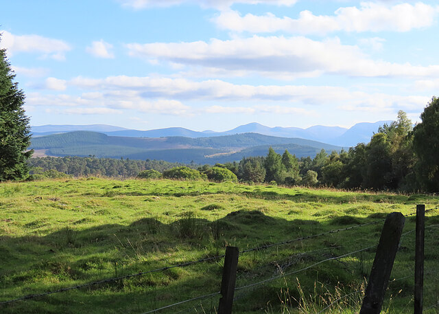
Auchnafearn Wood is a beautiful forest located in Morayshire, Scotland. Covering an area of approximately 400 hectares, it is a diverse and vibrant woodland that offers a stunning natural environment for visitors to explore. The wood is situated in a hilly region, with some areas reaching up to 200 meters above sea level.

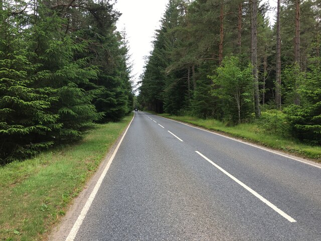
The woodland is predominantly composed of deciduous trees, such as oak, birch, and beech, which create a rich and colorful canopy during the autumn months. Additionally, there are pockets of coniferous trees, including pine and spruce, which provide a contrasting green hue throughout the year.

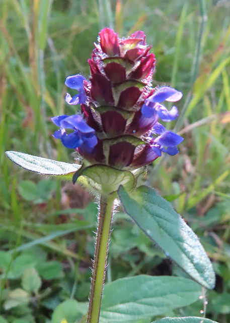
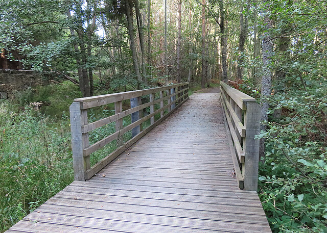
Auchnafearn Wood is home to a wide variety of wildlife, making it a popular destination for nature enthusiasts and birdwatchers. Visitors may spot red squirrels, roe deer, and numerous bird species, including woodpeckers, owls, and various songbirds. The wood also boasts a number of walking trails, allowing visitors to explore its beauty at their own pace.

Not only is Auchnafearn Wood a haven for wildlife, but it also serves as an important ecological site. The woodland plays a crucial role in preserving biodiversity in the region and provides a habitat for rare and endangered species.

Overall, Auchnafearn Wood is a captivating natural landscape that offers visitors a chance to immerse themselves in the tranquility of nature. With its stunning scenery, diverse flora and fauna, and ecological significance, it is a must-visit destination for those seeking a true Scottish woodland experience.

If you have any feedback on the listing, please let us know in the comments section below.

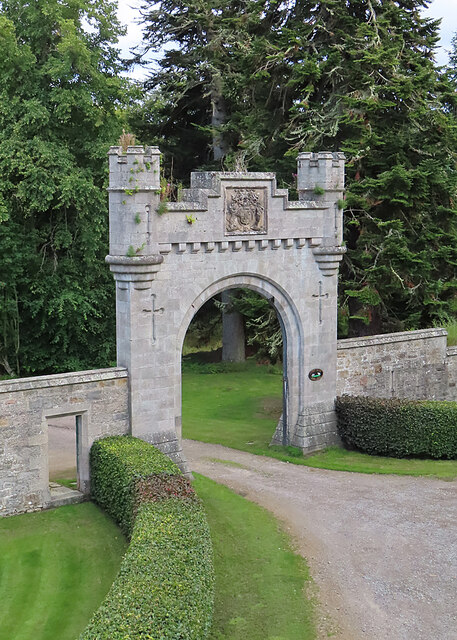
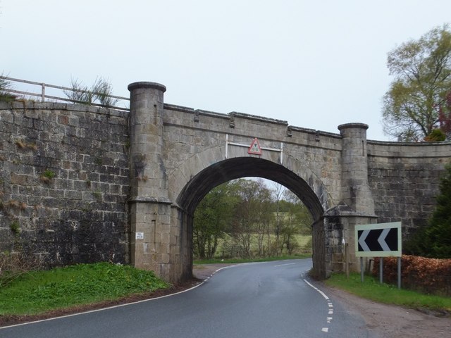
Auchnafearn Wood Images

Images are sourced within 2km of 57.350355/-3.6244321 or Grid Reference NJ0230. Thanks to Geograph Open Source API. All images are credited.

Old railway bridge over the A939
A939 towards Grantown on Spey
Self-heal (Prunella vulgaris) A late flower head still has its bright purple petals.
Self-heal (Prunella vulgaris)
A late flower head still has its bright purple petals.
Footbridge The bridge carries the Dava Way across Allt a' Bhacain. This is on the part of the route which is diverted off the former railway because the trackbed is said to be too wet.
Footbridge
The bridge carries the Dava Way across Allt a' Bhacain. This is on the part of the route which is diverted off the former railway because the trackbed is said to be too wet.
A Field with a View The rough field here is one of few gaps in the woods around Cottarton from which there is a view of part of the Cairngorms. The most prominent peak is Bynack More.
A Field with a View
The rough field here is one of few gaps in the woods around Cottarton from which there is a view of part of the Cairngorms. The most prominent peak is Bynack More.
Castle Grant Gateway Arch The arch was built by the railway company as part of the deal for allowing the railway to pass through the Earl of Seafield's land.
Castle Grant Gateway Arch
The arch was built by the railway company as part of the deal for allowing the railway to pass through the Earl of Seafield's land.
Ashfield
Ashfield
Craigbay
Craigbay
Camerorie
Camerorie
Camerorie
Camerorie
Upper Camerorie
Upper Camerorie
Wester Camerorie
Wester Camerorie
Snow gates on A939 by Cottartown
Disused railway bridge north of Grantown-on-Spey This bridge was built for the Inverness & Perth Junction Railway.   The line between Aviemore and Forres was opened on 1st June 1863 and operated for more than a century, closing on 18 October 1965.
Disused railway bridge north of Grantown-on-Spey
This bridge was built for the Inverness & Perth Junction Railway. The line between Aviemore and Forres was opened on 1st June 1863 and operated for more than a century, closing on 18 October 1965.
Inverness and Perth Junction Railway The Dava Way uses the trackbed of the Inverness and Perth Junction Railway between Grantown and Forres.  This was the original line to Inverness and here it is approaching the ornate bridge over the A939 and site of a private halt for Castle Grant.
Inverness and Perth Junction Railway
The Dava Way uses the trackbed of the Inverness and Perth Junction Railway between Grantown and Forres. This was the original line to Inverness and here it is approaching the ornate bridge over the A939 and site of a private halt for Castle Grant.
Lady Catherine's Halt On top of the ornate bridge <a href="https://www.geograph.org.uk/photo/524983">NJ0330 : Highland Railway near Castle Grant</a> over the A939. Here there was a private halt on the Inverness and Perth Junction Railway serving Castle Grant.
Lady Catherine's Halt
On top of the ornate bridge NJ0330 : Highland Railway near Castle Grant over the A939. Here there was a private halt on the Inverness and Perth Junction Railway serving Castle Grant.
Dava Way Unable to use a section of the railway for the waymarked route between Forres and Grantown, the folk behind the Dava Way have negotiated a woodland path for a short section. Annoyance at being turfed off the railway is soon tempered by the enjoyment of a well built bit of singletrack.

Unlike many of Sustrans' routes, the Dava Way is good to walk as well as cycle.
Dava Way
Unable to use a section of the railway for the waymarked route between Forres and Grantown, the folk behind the Dava Way have negotiated a woodland path for a short section. Annoyance at being turfed off the railway is soon tempered by the enjoyment of a well built bit of singletrack. Unlike many of Sustrans' routes, the Dava Way is good to walk as well as cycle.
A839 by Cottartown The climb up to Dava Moor.
A839 by Cottartown
The climb up to Dava Moor.
Show me another place!

Auchnafearn Wood is located at Grid Ref: NJ0230 (Lat: 57.350355, Lng: -3.6244321)

Unitary Authority: Highland

Police Authority: Highlands and Islands

What 3 Words

///solves.carting.cakewalk. Near Grantown-on-Spey, Highland

Nearby Locations

Auchnafearn Wood

Related Wikis

Castle Grant platform railway station

Castle Grant platform railway station was a railway station serving Castle Grant, in Strathspey in Scotland. == History == This station was opened with...

Castle Grant

Castle Grant stands a mile north of Grantown-on-Spey and was the former seat of the Clan Grant chiefs of Strathspey in Highlands, Scotland. It was originally...

Ian Charles Community Hospital

Ian Charles Community Hospital is a health facility in Castle Road East, Grantown-on-Spey, Scotland. It is managed by NHS Highland. == History == The facility...

Strathspey Thistle F.C.

Strathspey Thistle Football Club are a senior football club from Grantown-on-Spey in the Highlands of Scotland. They currently play in the Highland Football...

Nearby Amenities

Located within 500m of 57.350355,-3.6244321
Càrn Fhradhairc
Ele: 422
Natural: peak
Lat/Long: 57.3523845/-3.6255867
Auchnafearn
Place: locality
Lat/Long: 57.3495262/-3.6166613
Power: pole
Lat/Long: 57.3504859/-3.6161083
Power: pole
Lat/Long: 57.3511906/-3.6163706
Power: pole
Lat/Long: 57.3518801/-3.6167718
Power: pole
Lat/Long: 57.3472151/-3.6184973
The data included in this document is from www.openstreetmap.org. The data is made available under ODbL.

Have you been to Auchnafearn Wood?

Leave your review of Auchnafearn Wood below (or comments, questions and feedback).