Castellrhingyll
Settlement in Carmarthenshire
Wales
Castellrhingyll

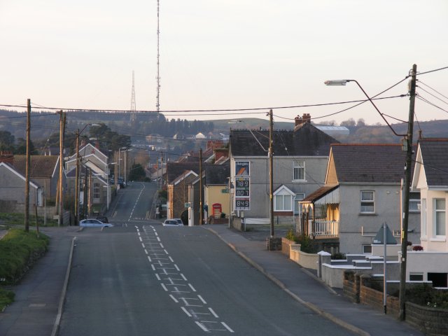
Castellrhingyll is a small village located in Carmarthenshire, Wales. Nestled in the beautiful countryside, the village is surrounded by rolling hills and picturesque landscapes. It is situated near the River Towy and is approximately 10 miles southeast of the county town, Carmarthen.
The name Castellrhingyll translates to "the castle of the lord's hill" in English, giving a nod to the village's historical significance. The village is known for its rich history, with evidence of human settlement dating back to the Iron Age. Ruins of a medieval castle can also be found in the vicinity, adding to the village's charm and appeal for history enthusiasts.
Despite its small size, Castellrhingyll is a close-knit community that offers a peaceful and tranquil atmosphere. The village primarily consists of traditional Welsh stone cottages, giving it a quaint and timeless feel. The local community is known for its warm and friendly nature, making visitors feel welcome and at home.
While the village itself may be quiet, there is no shortage of natural beauty and outdoor activities in the surrounding area. The nearby Brechfa Forest offers scenic walking and cycling trails, perfect for exploring the stunning Welsh countryside. Additionally, the River Towy provides opportunities for fishing and boating enthusiasts.
In summary, Castellrhingyll is a small but historically significant village in Carmarthenshire, Wales. With its charming cottages, friendly community, and access to beautiful natural surroundings, it offers a peaceful retreat for those seeking a break from the hustle and bustle of city life.
If you have any feedback on the listing, please let us know in the comments section below.
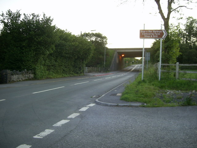
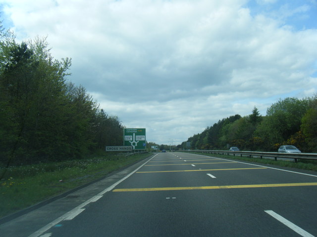
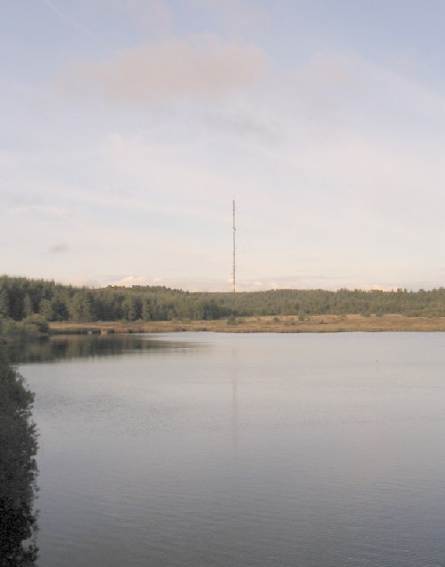
Castellrhingyll Images
Images are sourced within 2km of 51.806298/-4.0755222 or Grid Reference SN5714. Thanks to Geograph Open Source API. All images are credited.


Castellrhingyll is located at Grid Ref: SN5714 (Lat: 51.806298, Lng: -4.0755222)
Unitary Authority: Carmarthenshire
Police Authority: Dyfed Powys
Also known as: Castell-y-rhingy
What 3 Words
///segmented.dirt.quality. Near Cross Hands, Carmarthenshire
Nearby Locations
Related Wikis

Caeau Blaen-yr-Orfa
Caeau Blaen-yr-Orfa is an unimproved grassland that is a Site of Special Scientific Interest in Carmarthen & Dinefwr, Wales. == See also == List of Sites...
Gorslas
Gorslas is a village and community in Carmarthenshire, Wales, located on the A476 road northwest of Cross Hands. The village population at the 2011 census...
Caeau Rhyd-y-gwiail
Caeau Rhyd-y-gwiail is an area of grassland that is a Site of Special Scientific Interest in Carmarthen & Dinefwr, Wales. == See also == List of Sites...
Llyn Llech Owain
Llyn Llech Owain is a shallow lake with an area of 3.5 hectares (8.6 acres) which gives its name to the country park in which it sits, it is also a Site...
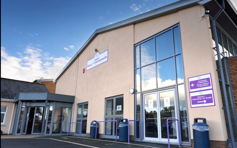
Ysgol Maes Y Gwendraeth
Ysgol Maes Y Gwendraeth is a bilingual secondary school for pupils aged between 11 and 18 years, situated in Cefneithin, Carmarthenshire, Wales. The school...

Cross Hands
Cross Hands is a village in Carmarthenshire, Wales, approximately 12 miles (19 kilometres) from Carmarthen. Cross Hands is notable for its Public Hall...
Pen-y-groes, Carmarthenshire
Pen-y-groes is a village in Carmarthenshire, South Wales which developed as a settlement as a result of the anthracite coal trade. The main colliery was...
Caeau Ffos Fach
Caeau Ffos Fach is a Site of Special Scientific Interest in Carmarthen & Dinefwr, Wales. Part of this SSSI is a nature reserve owned by the charity Butterfly...
Nearby Amenities
Located within 500m of 51.806298,-4.0755222Have you been to Castellrhingyll?
Leave your review of Castellrhingyll below (or comments, questions and feedback).