Broom Wood
Wood, Forest in Perthshire
Scotland
Broom Wood
Broom Wood is a picturesque forest located in Perthshire, Scotland. Spread across a vast area, the wood is known for its natural beauty and rich biodiversity. It is situated in close proximity to the town of Blairgowrie and is easily accessible for visitors to explore and enjoy.
The wood is predominantly made up of dense coniferous trees, such as Scots pines and Douglas firs, which create a dense canopy overhead. These towering trees provide shelter for a wide variety of bird species, including woodpeckers, owls, and various woodland songbirds. Visitors can often catch a glimpse of these feathered inhabitants through the foliage or hear their melodic calls echoing through the wood.
Broom Wood is also home to a diverse range of flora, with patches of colorful wildflowers and ferns scattered throughout. The forest floor is carpeted with mosses and lichens, creating a lush and vibrant undergrowth. This flourishing ecosystem supports numerous small mammals, like squirrels, voles, and shrews, as well as larger mammals such as roe deer and red squirrels.
The wood offers a variety of walking trails and pathways, allowing visitors to immerse themselves in the tranquility of nature. These paths wind their way through the forest, occasionally opening up to reveal stunning vistas of the surrounding countryside. Broom Wood is a popular destination for nature enthusiasts, hikers, and wildlife photographers, who seek solace in its serene and untouched landscapes.
In summary, Broom Wood is a captivating forest in Perthshire, Scotland, known for its breathtaking beauty and diverse range of flora and fauna. It provides a haven for both wildlife and humans alike, offering an opportunity to connect with nature and experience the wonders of the Scottish countryside.
If you have any feedback on the listing, please let us know in the comments section below.
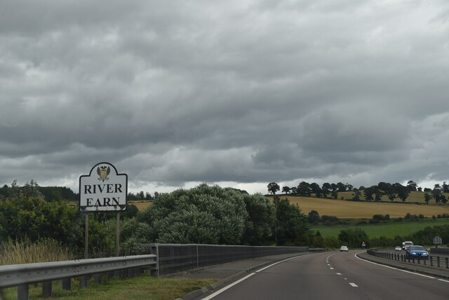
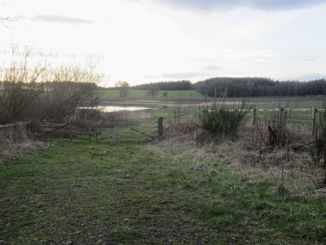
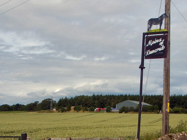
Broom Wood Images
Images are sourced within 2km of 56.329715/-3.611295 or Grid Reference NO0016. Thanks to Geograph Open Source API. All images are credited.


Broom Wood is located at Grid Ref: NO0016 (Lat: 56.329715, Lng: -3.611295)
Unitary Authority: Perth and Kinross
Police Authority: Tayside
What 3 Words
///headliner.distract.mascots. Near Auchterarder, Perth & Kinross
Nearby Locations
Related Wikis
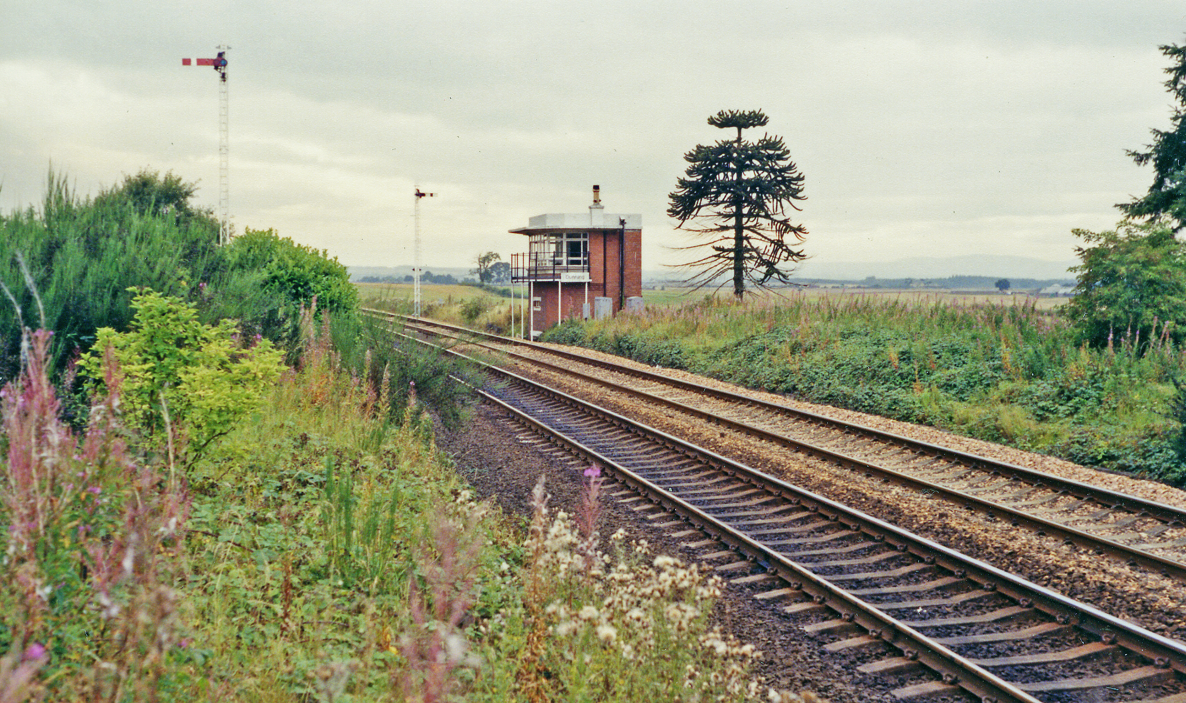
Dunning railway station
Dunning railway station served the village of Dunning, Perth and Kinross, Scotland from 1848 to 1956 on the Scottish Central Railway. == History == The...
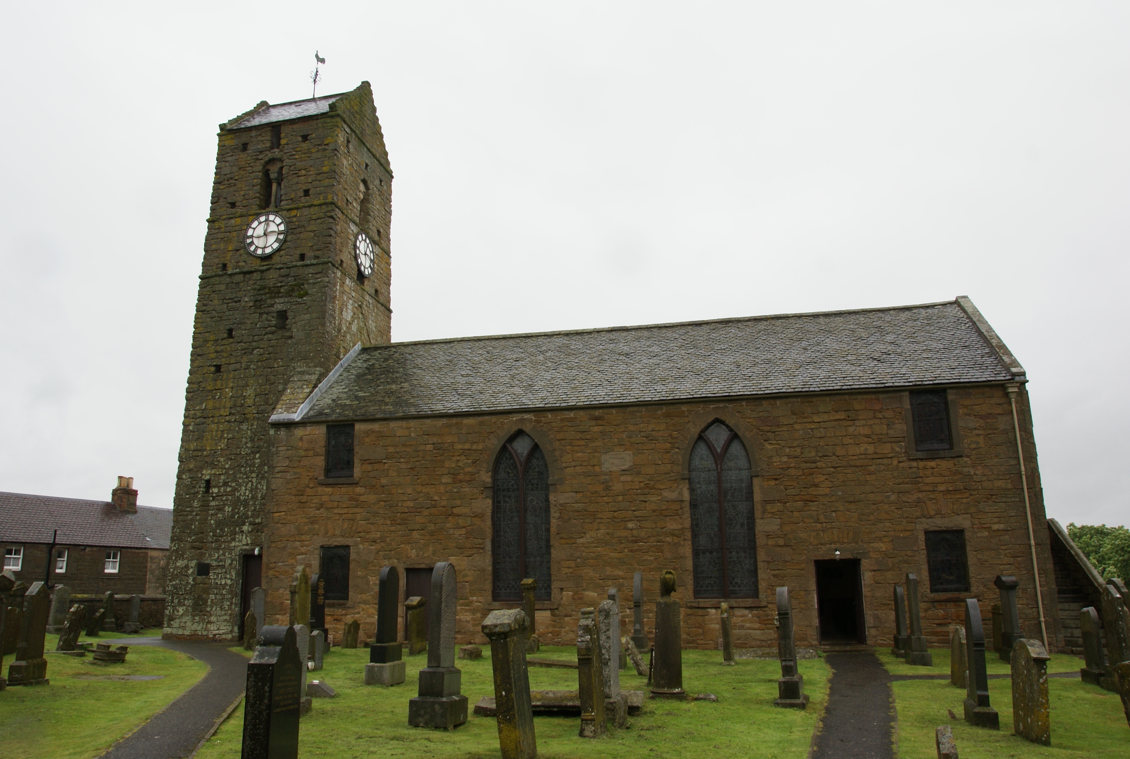
St Serf's Church, Dunning
St Serf's Church in the Scottish village of Dunning, Perth and Kinross is a Category A listed building largely dating to the early 19th century, but incorporating...

Dunning, Perth and Kinross
Dunning is a small village in Perth and Kinross in Scotland with a population of about 1,000. The village centres around the 12th–13th century former parish...

Dupplin Cross
The Dupplin Cross is a carved, monumental Pictish stone, which dates from around 800 AD. It was first recorded by Thomas Pennant in 1769, on a hillside...
Aberuthven
Aberuthven (; Gaelic: Obar Ruadhainn) is a small village in Perth and Kinross, Scotland. It lies approximately 2+1⁄2 miles (4 kilometres) northeast of...

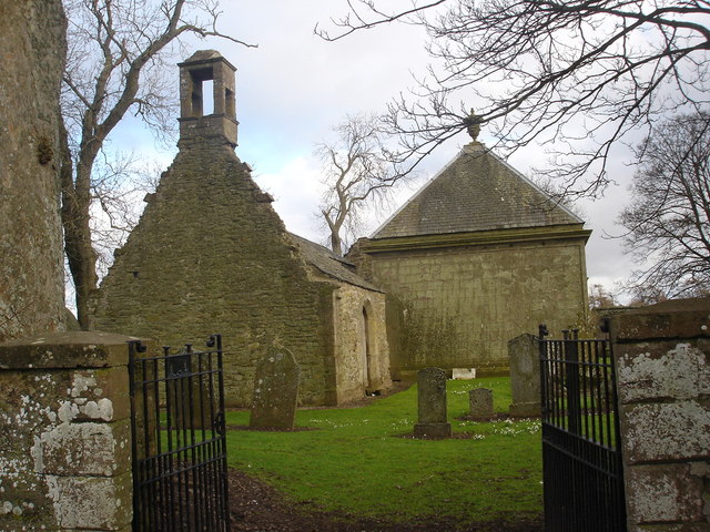
Montrose Mausoleum
Montrose Mausoleum is located in the Scottish village of Aberuthven, Perth and Kinross. Dating to 1736, it is a Category A listed building. It stands in...
Findo Gask
Findo Gask is a small village in Perth and Kinross in Scotland, just off the main A9 road. It is in Strathearn. There are nearby remains associated with...

Forteviot railway station
Forteviot railway station served the village of Forteviot, Perth and Kinross, Scotland from 1848 to 1956 on the Scottish Central Railway. == History... ==
Nearby Amenities
Located within 500m of 56.329715,-3.611295Have you been to Broom Wood?
Leave your review of Broom Wood below (or comments, questions and feedback).