Threep Moor
Wood, Forest in Lanarkshire
Scotland
Threep Moor

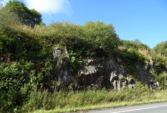
Threep Moor is a picturesque woodland located in the Lanarkshire region of Scotland. Situated on the outskirts of the small village of Threep, this enchanting forest covers a vast area of approximately 100 hectares. It is nestled amidst the rolling hills and serene countryside, making it a popular destination for nature lovers and outdoor enthusiasts.
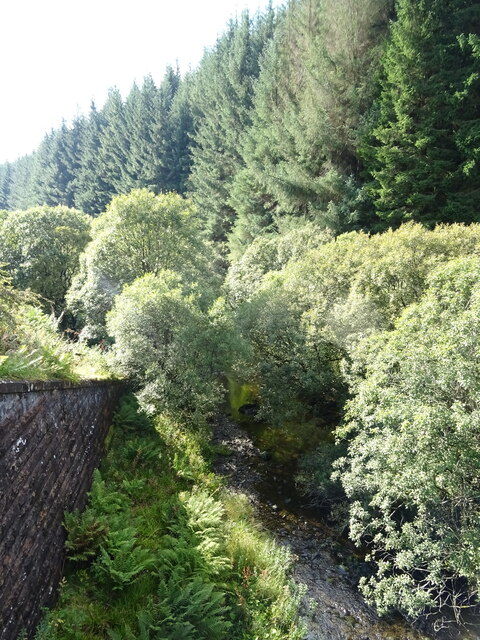
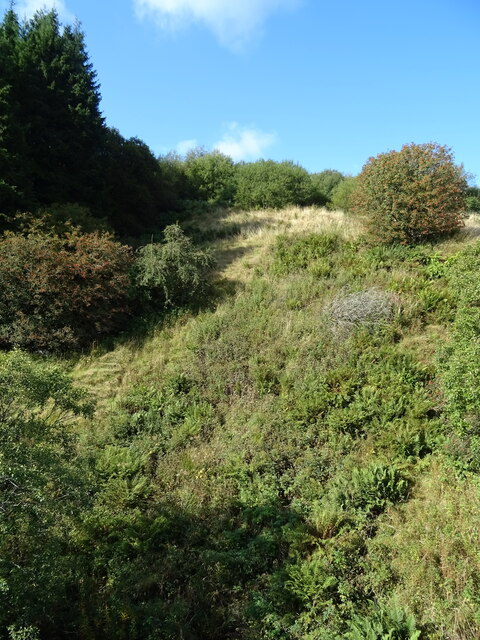
The woodland is known for its diverse range of tree species, including oak, birch, and pine, which create a rich tapestry of colors throughout the seasons. The towering trees provide a peaceful and tranquil atmosphere, making it an ideal place for those seeking solitude or a quiet retreat.
Threep Moor is not only a haven for flora, but also a sanctuary for wildlife. The forest is home to a variety of animals, such as red squirrels, foxes, and an array of bird species. Birdwatchers can delight in the sight of buzzards, owls, and woodpeckers, among others, that inhabit the area.
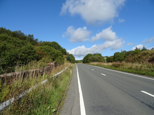
For visitors looking to explore the forest, there are several well-maintained trails and paths that wind their way through the woodland. These pathways offer stunning views of the surrounding landscape and are suitable for walkers of all abilities. Additionally, Threep Moor is equipped with picnic areas, allowing visitors to enjoy a leisurely lunch amidst the natural beauty of the forest.
Overall, Threep Moor in Lanarkshire is a captivating and idyllic woodland, providing a perfect escape from the hustle and bustle of everyday life. Its scenic beauty, diverse wildlife, and peaceful ambiance make it a must-visit destination for those seeking a connection with nature in this enchanting part of Scotland.
If you have any feedback on the listing, please let us know in the comments section below.
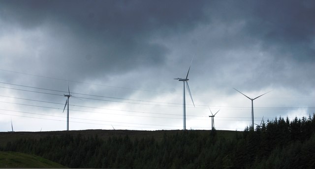
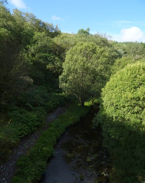
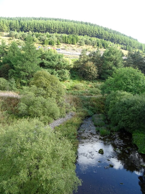
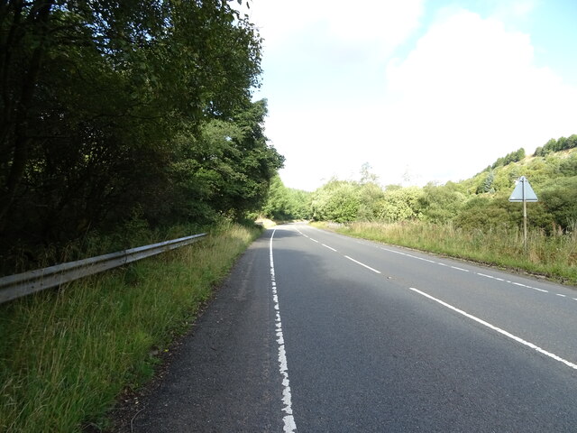
Threep Moor Images
Images are sourced within 2km of 55.388718/-3.5739365 or Grid Reference NT0011. Thanks to Geograph Open Source API. All images are credited.


Threep Moor is located at Grid Ref: NT0011 (Lat: 55.388718, Lng: -3.5739365)
Unitary Authority: South Lanarkshire
Police Authority: Lanarkshire
What 3 Words
///coil.shell.annoys. Near Moffat, Dumfries & Galloway
Nearby Locations
Related Wikis
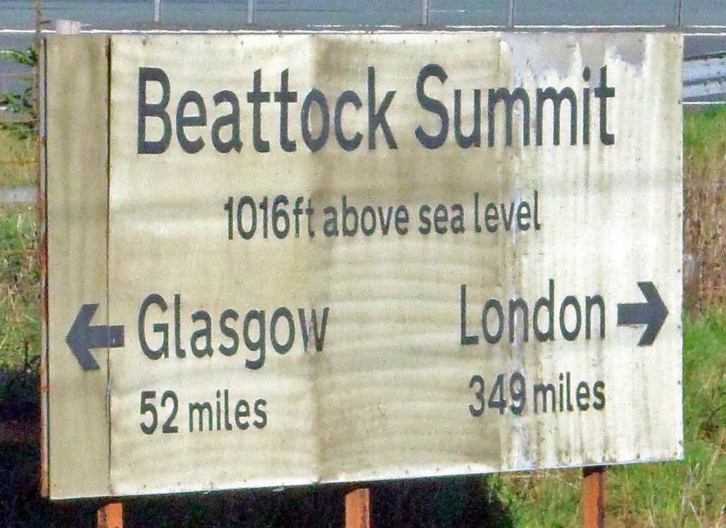
Beattock Summit
Beattock Summit is the highest point of the West Coast Main Line (WCML) railway and of the A74(M) motorway as they cross between Dumfries and Galloway...

Daer Water
Daer Water (Scots: daer; IPA: [døːɾ] and IPA: [deːɾ], northern Scotland IPA: [diːɾ]) is one of the streams located in the watershed region which surrounds...
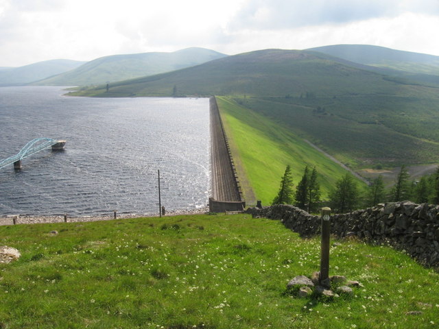
Daer Reservoir
Daer Reservoir is a man-made waterbody created by the damming of the Daer Water, a tributary of the River Clyde in the Southern Uplands of Scotland. It...

East Kilbride, Strathaven and Lesmahagow (UK Parliament constituency)
East Kilbride, Strathaven and Lesmahagow is a county constituency of the House of Commons of the Parliament of the United Kingdom, which was first used...
Nearby Amenities
Located within 500m of 55.388718,-3.5739365Have you been to Threep Moor?
Leave your review of Threep Moor below (or comments, questions and feedback).