Ballintomb Wood
Wood, Forest in Morayshire
Scotland
Ballintomb Wood

Ballintomb Wood is a picturesque forest located in Morayshire, Scotland. It covers an area of approximately 100 hectares and is situated near the village of Tomintoul. The wood is characterized by its dense woodland and diverse range of tree species, making it a haven for nature enthusiasts and hikers alike.
The forest is primarily composed of native species such as oak, birch, and pine, which thrive in the rich soil and favorable climate of the region. The thick foliage provides a habitat for various wildlife, including red squirrels, roe deer, and a multitude of bird species.
Ballintomb Wood offers a network of well-maintained walking trails that wind through the forest, allowing visitors to explore its serene beauty. These trails range in difficulty, catering to both casual strollers and experienced hikers. Along the paths, visitors can enjoy the sights and sounds of the woodland, with the occasional glimpse of wildlife.
The forest also boasts a small picnic area, where visitors can take a break and enjoy a packed lunch amidst the tranquility of nature. Additionally, there are information boards and markers throughout the wood, providing educational insights into the local flora and fauna.
Ballintomb Wood serves as a popular destination for nature lovers, providing a peaceful retreat from the hustle and bustle of everyday life. Its natural beauty, diverse ecosystem, and well-maintained trails make it an ideal location for outdoor activities and exploration.
If you have any feedback on the listing, please let us know in the comments section below.
Ballintomb Wood Images
Images are sourced within 2km of 57.302612/-3.6616154 or Grid Reference NH9924. Thanks to Geograph Open Source API. All images are credited.


Ballintomb Wood is located at Grid Ref: NH9924 (Lat: 57.302612, Lng: -3.6616154)
Unitary Authority: Highland
Police Authority: Highlands and Islands
What 3 Words
///absent.vivid.elect. Near Grantown-on-Spey, Highland
Nearby Locations
Related Wikis
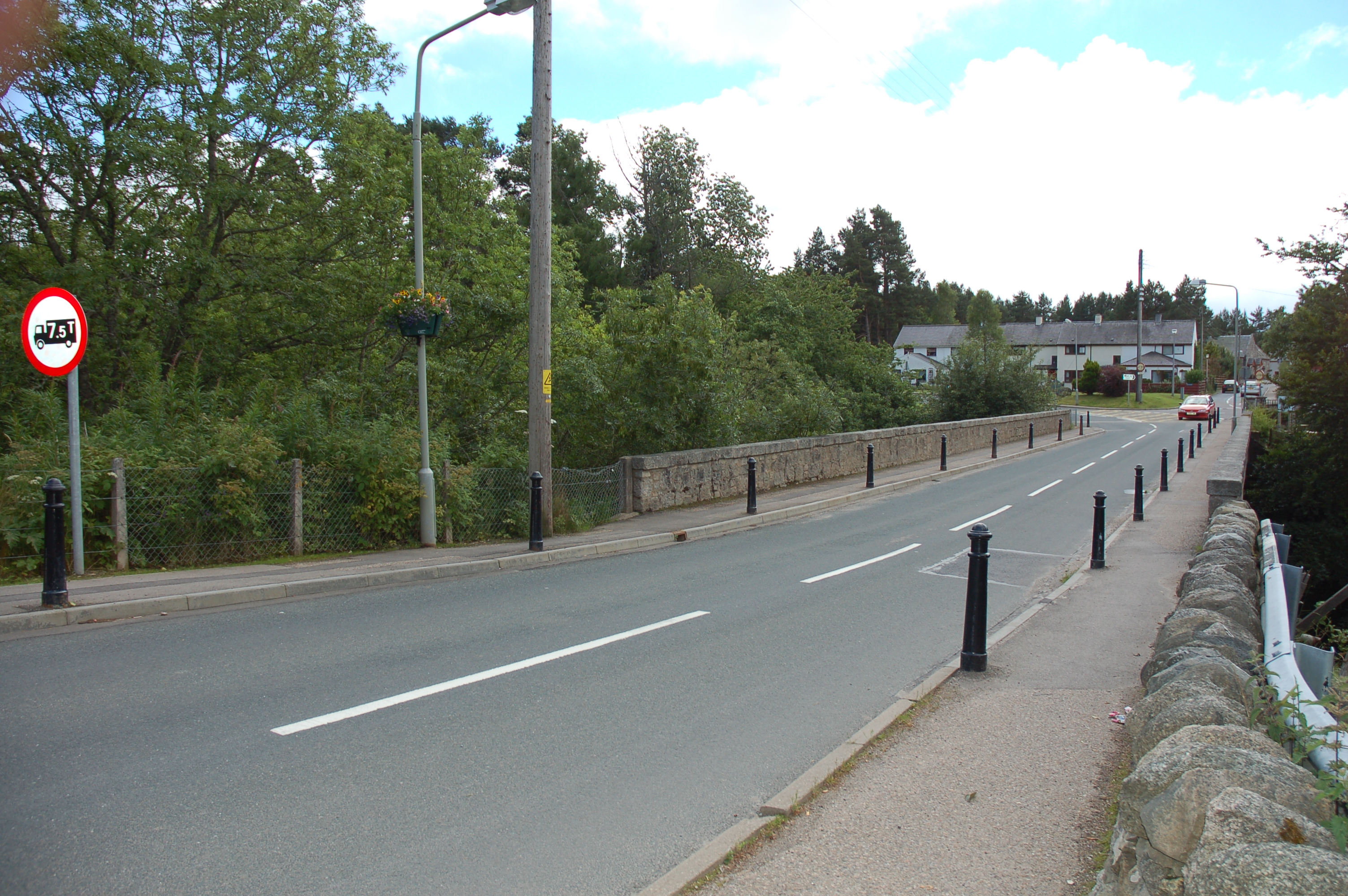
Dulnain Bridge
Dulnain Bridge (Scottish Gaelic: Drochaid Thulnain) is a village in Strathspey, next to the meeting of the River Dulnain and the River Spey, three miles...

Skye of Curr
Skye of Curr (Scottish Gaelic: Sgiath Churr) is a hamlet, situated 3 miles (5 kilometres) southwest of Grantown-on-Spey, in the Highlands of Scotland and...

Ballifurth Farm Halt railway station
Ballifurth Farm Halt railway station was one of four halts, Imperial Cottages Halt, Gibley's Cottages Halt, Dalvey Farm Halt, and Ballifurth Farm Halt...
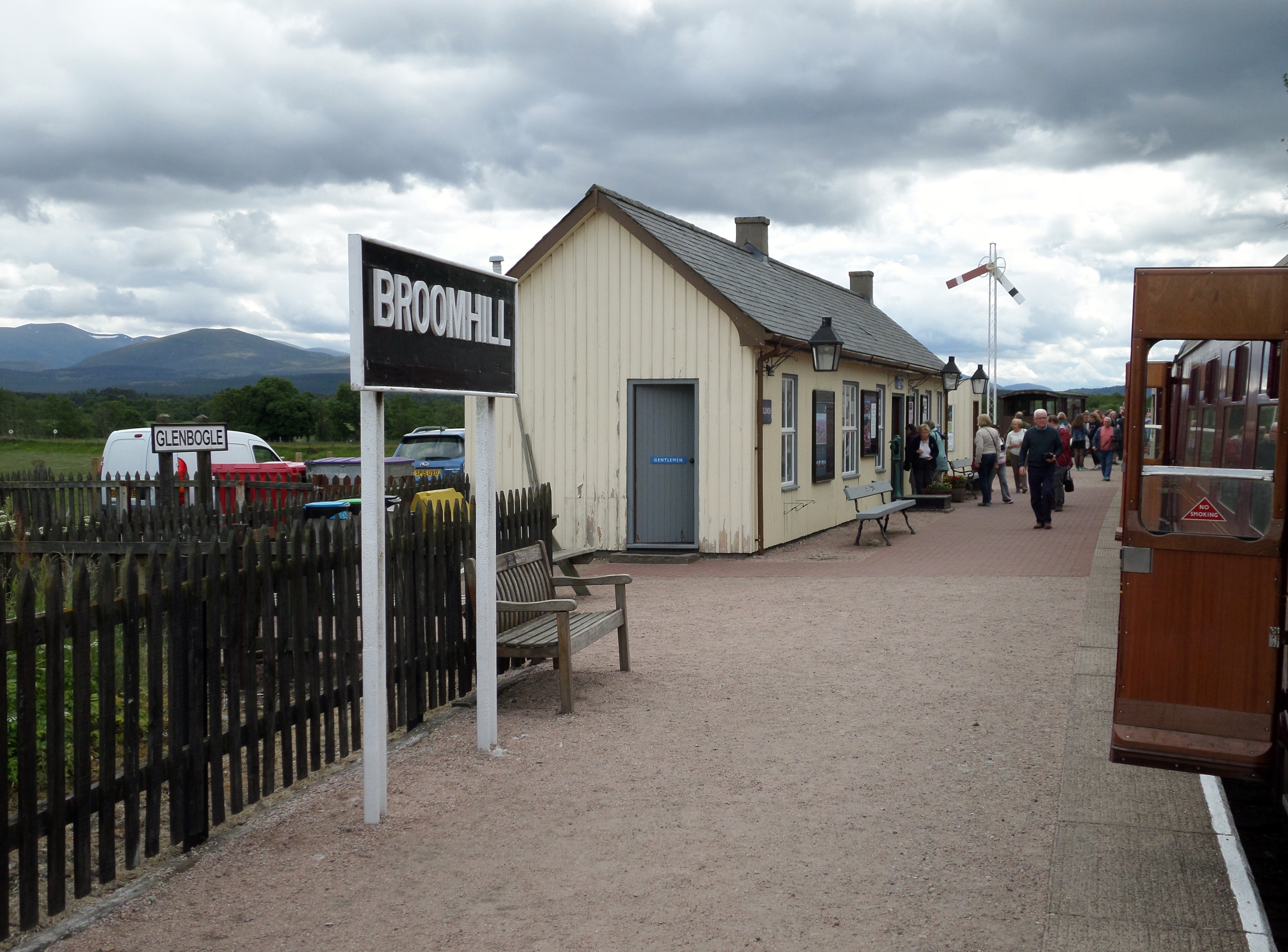
Broomhill railway station
Broomhill railway station or Broomhill for Nethy Bridge railway station is a reconstructed railway station on the former Highland Railway main line which...
Nearby Amenities
Located within 500m of 57.302612,-3.6616154Have you been to Ballintomb Wood?
Leave your review of Ballintomb Wood below (or comments, questions and feedback).