Bridgend Wood
Wood, Forest in Perthshire
Scotland
Bridgend Wood

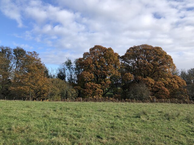
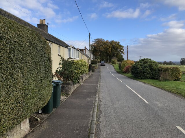
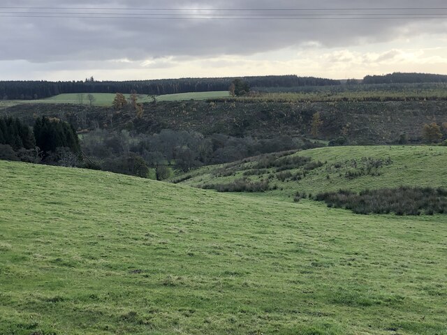
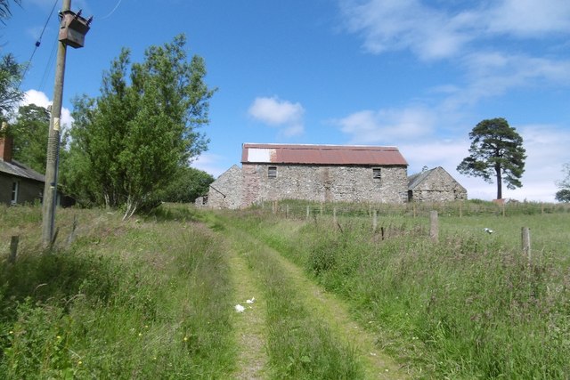
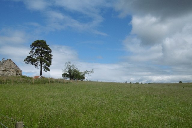
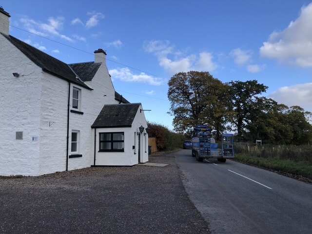
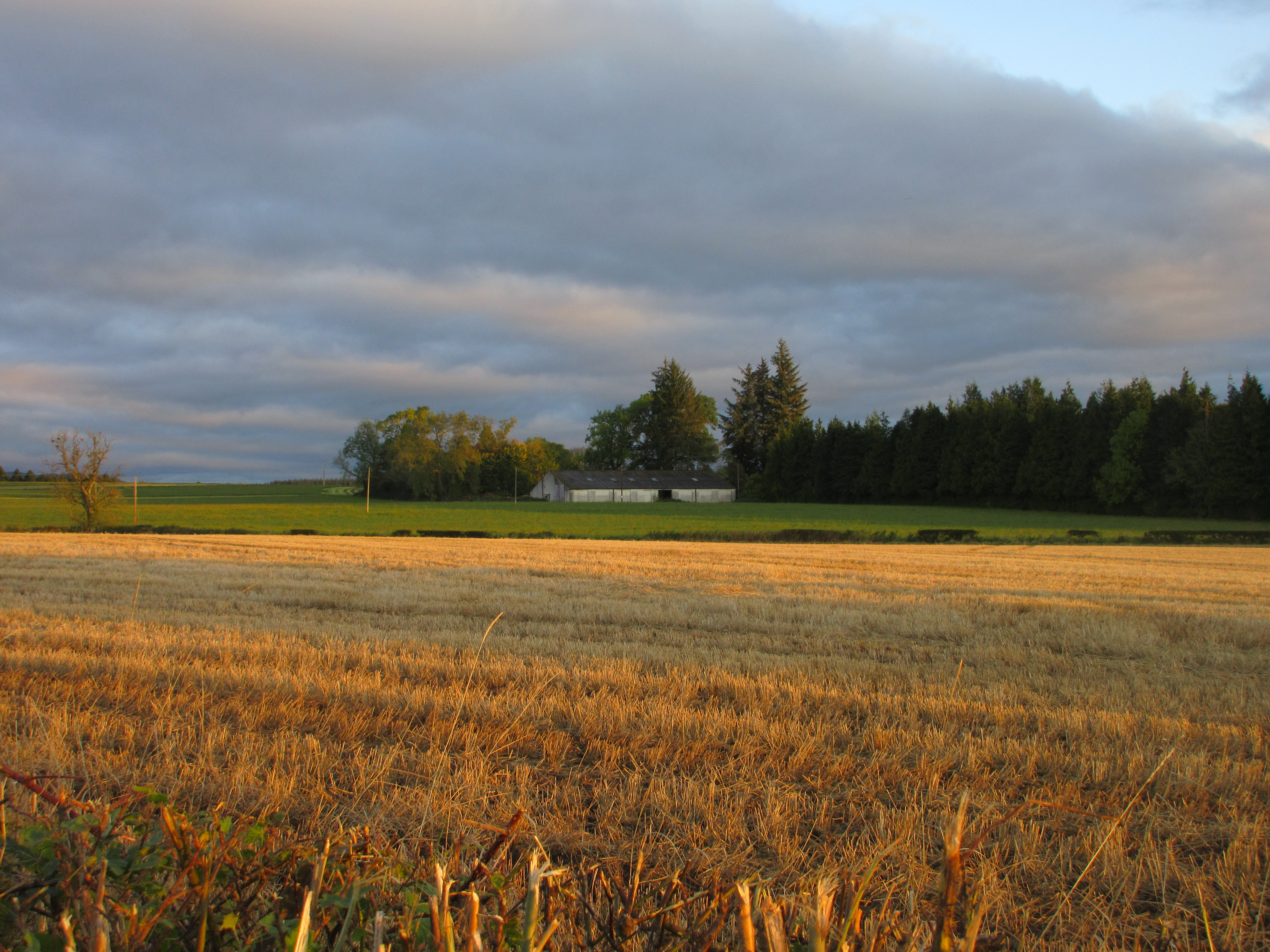
Bridgend Wood is a picturesque forest located in Perthshire, Scotland. Covering an area of approximately 500 acres, this natural paradise is a haven for outdoor enthusiasts and nature lovers alike. The wood is situated near the small town of Bridge of Earn, just a few miles south of the city of Perth.
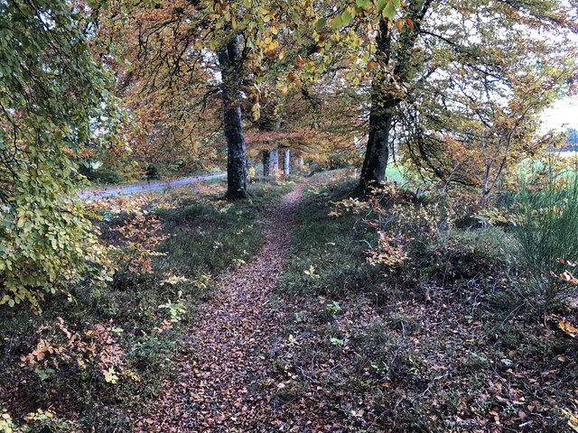
The woodland is primarily composed of native Scottish trees such as oak, birch, and pine, which create a diverse and enchanting landscape. The forest floor is adorned with a rich variety of flora, including bluebells, wild garlic, and ferns, which add to the beauty of the surroundings.
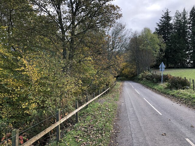
Bridgend Wood offers numerous walking trails that cater to all levels of fitness and interest. Visitors can explore the forest via well-maintained paths that wind through the trees, providing stunning views of the surrounding countryside. These trails range from short, leisurely strolls to longer, more challenging hikes, allowing visitors to choose the experience that best suits their preferences.
The wood is also home to a wide array of wildlife, including red squirrels, roe deer, and a variety of bird species. Birdwatchers will delight in the opportunity to spot woodpeckers, owls, and various waterfowl in their natural habitat.
Additionally, Bridgend Wood boasts several picnic areas and viewpoints, providing visitors with the perfect opportunity to relax and take in the breathtaking scenery. The tranquil atmosphere and peaceful surroundings make it an ideal location for a family day out or a peaceful retreat from the hustle and bustle of everyday life.
In summary, Bridgend Wood in Perthshire, Scotland, offers a stunning natural environment, diverse wildlife, and a range of walking trails, making it a must-visit destination for anyone seeking to connect with nature and experience the beauty of the Scottish countryside.
If you have any feedback on the listing, please let us know in the comments section below.
Bridgend Wood Images
Images are sourced within 2km of 56.444207/-3.6272668 or Grid Reference NN9929. Thanks to Geograph Open Source API. All images are credited.


Bridgend Wood is located at Grid Ref: NN9929 (Lat: 56.444207, Lng: -3.6272668)
Unitary Authority: Perth and Kinross
Police Authority: Tayside
What 3 Words
///manifests.funded.unwell. Near Methven, Perth & Kinross
Nearby Locations
Related Wikis

Harrietfield
Harrietfield is a village near Glenalmond in Perth and Kinross. It is about 9 miles (14 km) north-west of Perth. It has been suggested that the village...
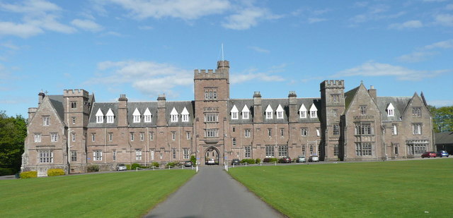
Glenalmond College
Glenalmond College is a co-educational independent boarding school in Perth and Kinross, Scotland, for children aged between 12 and 18 years. It is situated...
Battle of Methven
The Battle of Methven took place at Methven, Scotland on 19 June 1306, during the Wars of Scottish Independence. The battlefield was researched to be included...
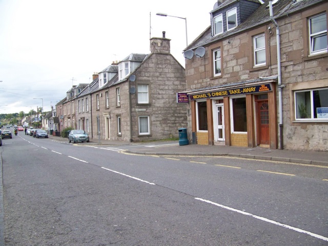
Methven, Perth and Kinross
Methven (; Scottish Gaelic: Meadhainnigh) is a large village in the Scottish region of Perth and Kinross, on the A85 road due west of the town of Perth...
Methven railway station
Methven railway station served the village of Methven, Perth and Kinross, Scotland and was located between the city of Perth to the east and the town of...
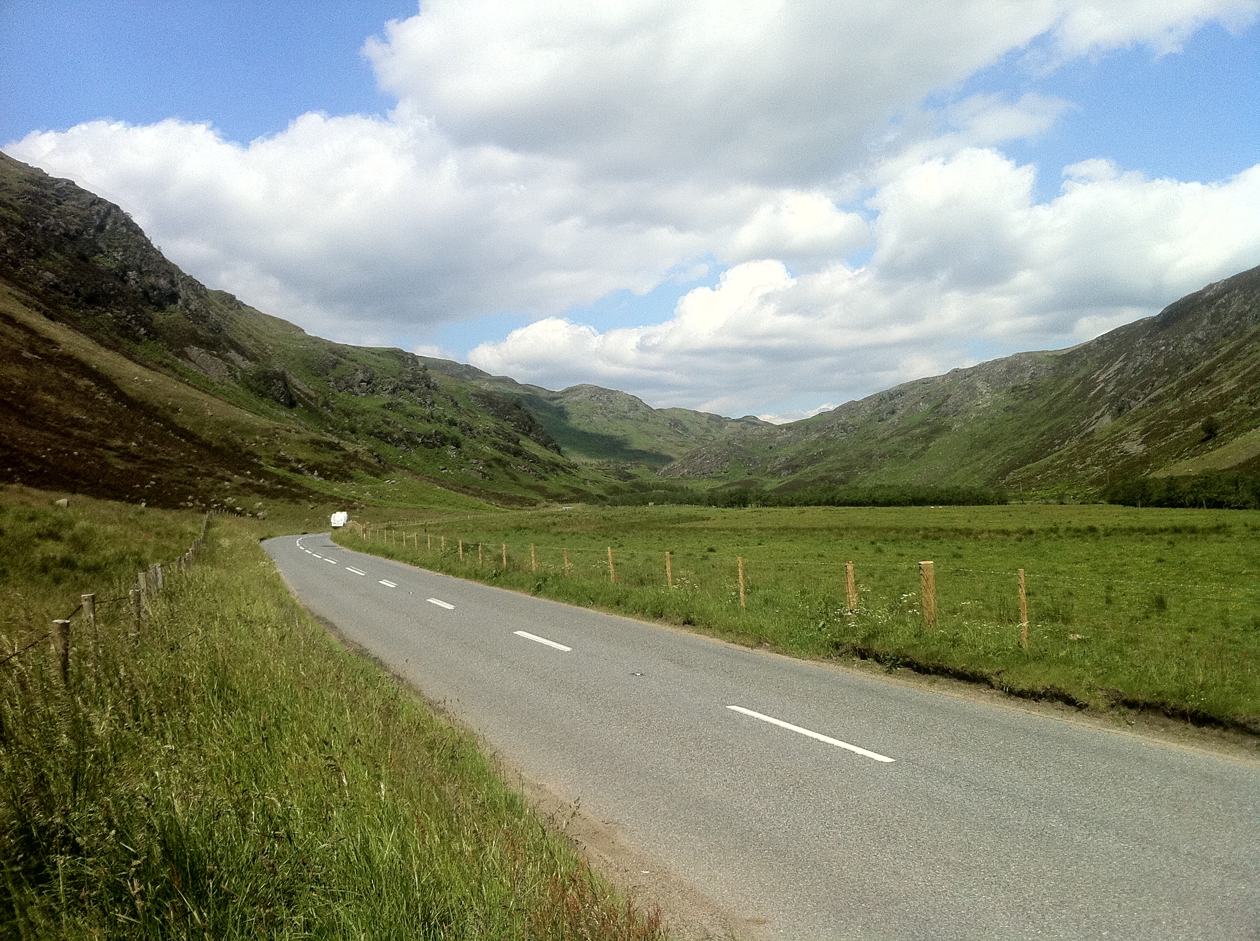
Glenalmond
Glenalmond or Glen Almond (Scottish Gaelic: Gleann Amain) is a glen which stretches for several miles to the west of the city of Perth in Perth and Kinross...
Strathearn distillery
Strathearn is a single malt Scotch whisky distillery near Methven in Scotland. == History == The distillery commenced production in 2013 under the ownership...

Methven Castle
Methven Castle is a privately owned 17th-century house situated east of Methven, in Perth and Kinross, Scotland. == History == The lands of Methven were...
Nearby Amenities
Located within 500m of 56.444207,-3.6272668Have you been to Bridgend Wood?
Leave your review of Bridgend Wood below (or comments, questions and feedback).