Broom Plantations

Wood, Forest in Perthshire

Scotland

Broom Plantations

Yellow road, Tethyknowe A minor road near Saline.
Yellow road, Tethyknowe Credit: Richard Webb

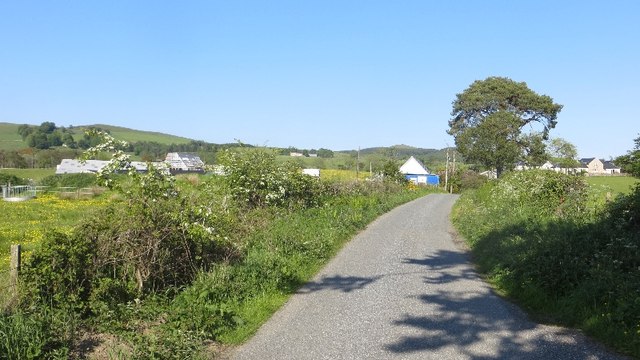
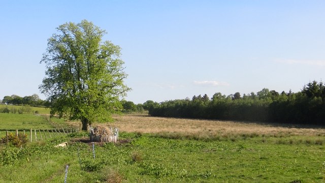
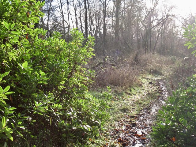
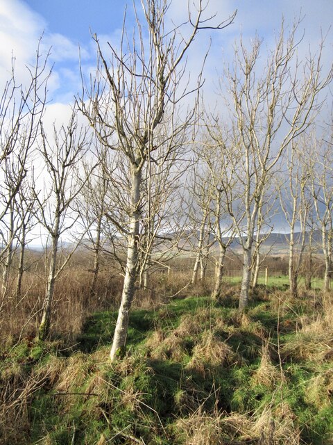
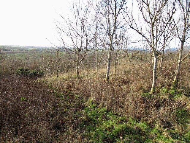
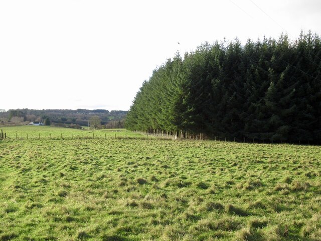
Broom Plantations, located in Perthshire, Scotland, is a sprawling woodland area known for its abundant growth of broom plants. Spanning over several hectares, this plantation is a sight to behold, with a vibrant display of yellow flowers during the spring and summer months.

The broom plant, also known as Cytisus scoparius, is a deciduous shrub that belongs to the legume family. It is characterized by its slender green stems, small leaves, and numerous bright yellow flowers that bloom in clusters. Broom plants are hardy and can tolerate a variety of soil types, which has contributed to their successful growth in this region.

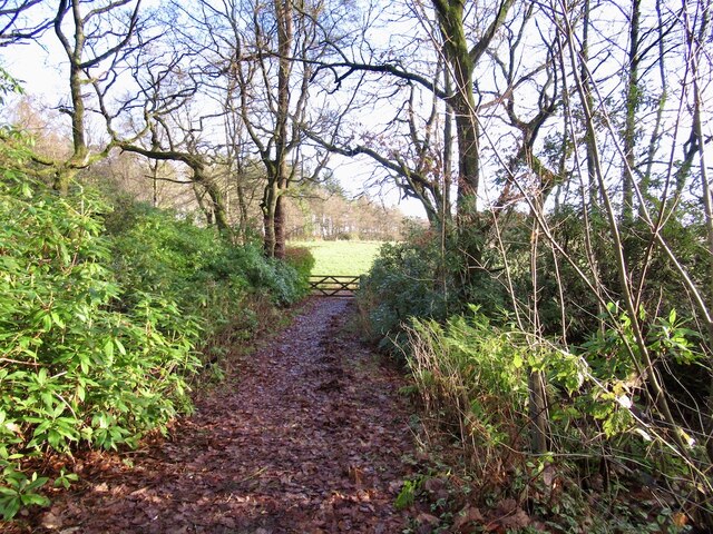
The plantation offers visitors a unique opportunity to witness the broom plants in their natural habitat. Walking through the woodland, one can experience the sweet scent of the flowers and the gentle humming of bees and other pollinators that are attracted to them. The vibrant yellow hues create a picturesque landscape, particularly when the sunlight filters through the dense foliage.

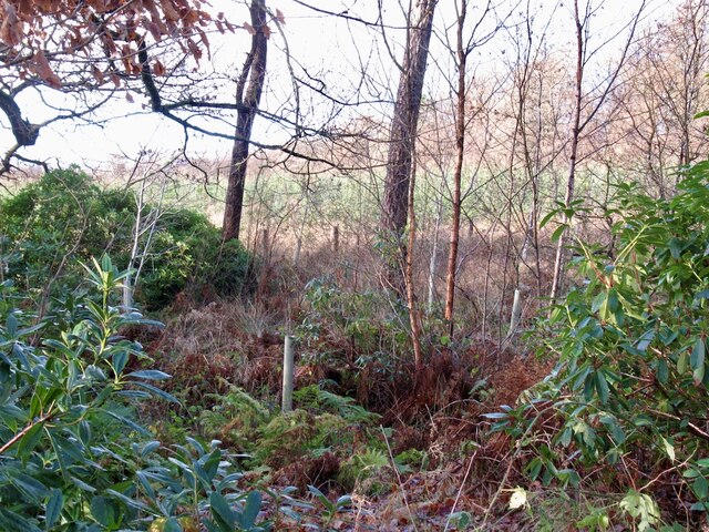
Not only is Broom Plantations a visual delight, but it also serves as an important habitat for various wildlife species. Many birds, insects, and small mammals find shelter and food within the plantation, contributing to the overall biodiversity of the area.

Visitors to the plantation can enjoy leisurely walks along the well-maintained trails, appreciating the natural beauty and tranquility of the surroundings. Additionally, there are informative signboards and guided tours available, providing insights into the history and significance of broom plants and their role in the local ecosystem.

Overall, Broom Plantations in Perthshire offers an enchanting and educational experience for nature enthusiasts, showcasing the beauty and ecological importance of broom plants in a picturesque woodland setting.

If you have any feedback on the listing, please let us know in the comments section below.

Broom Plantations Images

Images are sourced within 2km of 56.145489/-3.6175962 or Grid Reference NS9995. Thanks to Geograph Open Source API. All images are credited.

Yellow road, Tethyknowe A minor road near Saline.
Yellow road, Tethyknowe
A minor road near Saline.
Muirhead Moss Partly forested bog north of Saline.
Muirhead Moss
Partly forested bog north of Saline.
Craigend A new house on the site of an older building.
Craigend
A new house on the site of an older building.
Gibson's Craig Hummocky ridge which is only half a hill - the Powmill Quarry has removed the other half. Now a flooded hole in the ground.
Gibson's Craig
Hummocky ridge which is only half a hill - the Powmill Quarry has removed the other half. Now a flooded hole in the ground.
A view of the Ochils Sheep pasture near the Powmill Quarry.
A view of the Ochils
Sheep pasture near the Powmill Quarry.
View from near Gibson's Craig Clear air on northerly winds allows distant views, in this case the hills of Cowal in Argyll behind the Wallace Monument.
View from near Gibson's Craig
Clear air on northerly winds allows distant views, in this case the hills of Cowal in Argyll behind the Wallace Monument.
Gibson's Craig summit One of several hummocks in woodland on the edge of an old quarry.
Gibson's Craig summit
One of several hummocks in woodland on the edge of an old quarry.
Powmill Quarry Devonshaw on old maps, now a deep flooded hole in the ground.
Powmill Quarry
Devonshaw on old maps, now a deep flooded hole in the ground.
Field access, Lambhill A way out of a rhododendron choked stripwood to small fields.
Field access, Lambhill
A way out of a rhododendron choked stripwood to small fields.
Woodland, Lambhill An established stripwood with a newly planted conifer wood beyond.
Woodland, Lambhill
An established stripwood with a newly planted conifer wood beyond.
Path, Lambhill Down a stripwood, a Perth and Kinross Council core path.
Path, Lambhill
Down a stripwood, a Perth and Kinross Council core path.
Road by Pitfair Lodge There were several trees down after a violent storm on 26th November. Nearly a week later, thousands of properties were still without power.
Road by Pitfair Lodge
There were several trees down after a violent storm on 26th November. Nearly a week later, thousands of properties were still without power.
Ash wood, Lambhill
Ash wood, Lambhill
Woodland, Lambhill Not possible to tell how badly the ashes are affected by disease. Overlooking former farmland now planted with conifers.
Woodland, Lambhill
Not possible to tell how badly the ashes are affected by disease. Overlooking former farmland now planted with conifers.
Minor road, Lambhill Covererd in storm debris, but the fallen trees had been cleared after many trees were brought down on 26th November.
Minor road, Lambhill
Covererd in storm debris, but the fallen trees had been cleared after many trees were brought down on 26th November.
Vicar's Bridge Road, Blairingone
Blairingone End of Vicar's Bridge Road.
Blairingone
End of Vicar's Bridge Road.
Woodland edge, Blairingone Field beside Vicar's Bridge Road
Woodland edge, Blairingone
Field beside Vicar's Bridge Road
Show me another place!

Broom Plantations is located at Grid Ref: NS9995 (Lat: 56.145489, Lng: -3.6175962)

Unitary Authority: Perth and Kinross

Police Authority: Tayside

What 3 Words

///ditching.olive.easygoing. Near Dollar, Clackmannanshire

Nearby Locations

Broom Plantations Dam Wood

Related Wikis

Blairingone

Blairingone is a village in Perth and Kinross, Scotland. It lies on the A977 road at its intersection with Vicar's Bridge Road near the extreme south-westerly...

Cauldron Linn (River Devon)

Cauldron Linn, or Caldron Linn, is a waterfall on the River Devon on the border between Clackmannanshire and Perth and Kinross in Scotland. == Location... ==

Powmill

Powmill is a village in Perth and Kinross, Scotland. It lies at the junction of the A823 and A977 roads at the southwest of the region, approximately 5...

Devon Way

Devon Way is a pathway in Clackmannanshire, Central Scotland. It lies on the southern section of the former Devon Valley Railway from Dollar to Tillicoultry...

Nearby Amenities

Located within 500m of 56.145489,-3.6175962
Power: tower
Lat/Long: 56.1469921/-3.6236867
Power: tower
Lat/Long: 56.147952/-3.6138331
Power: tower
Lat/Long: 56.1475244/-3.6182234
Muirmill
Designation: Historic Mill
Historic: archaeological_site
Name 1828: Moormill
Name 1860: Muir Mill (Corn & Flour)
Source: OS Six inch First Series
Lat/Long: 56.1452657/-3.6234364
Power: pole
Lat/Long: 56.1459838/-3.6251858
Power: pole
Lat/Long: 56.1462581/-3.6241827
Power: pole
Lat/Long: 56.1456284/-3.6241334
The data included in this document is from www.openstreetmap.org. The data is made available under ODbL.

Have you been to Broom Plantations?

Leave your review of Broom Plantations below (or comments, questions and feedback).