Heathery Wood
Wood, Forest in Lanarkshire
Scotland
Heathery Wood
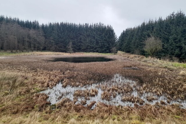
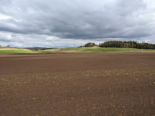
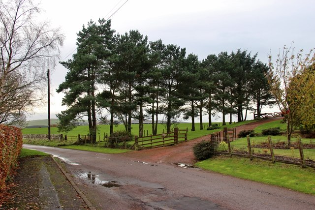
Heathery Wood is a picturesque woodland located in Lanarkshire, Scotland. Covering an area of approximately 50 hectares, the woodland is known for its diverse range of flora and fauna, making it a popular destination for nature enthusiasts and hikers.
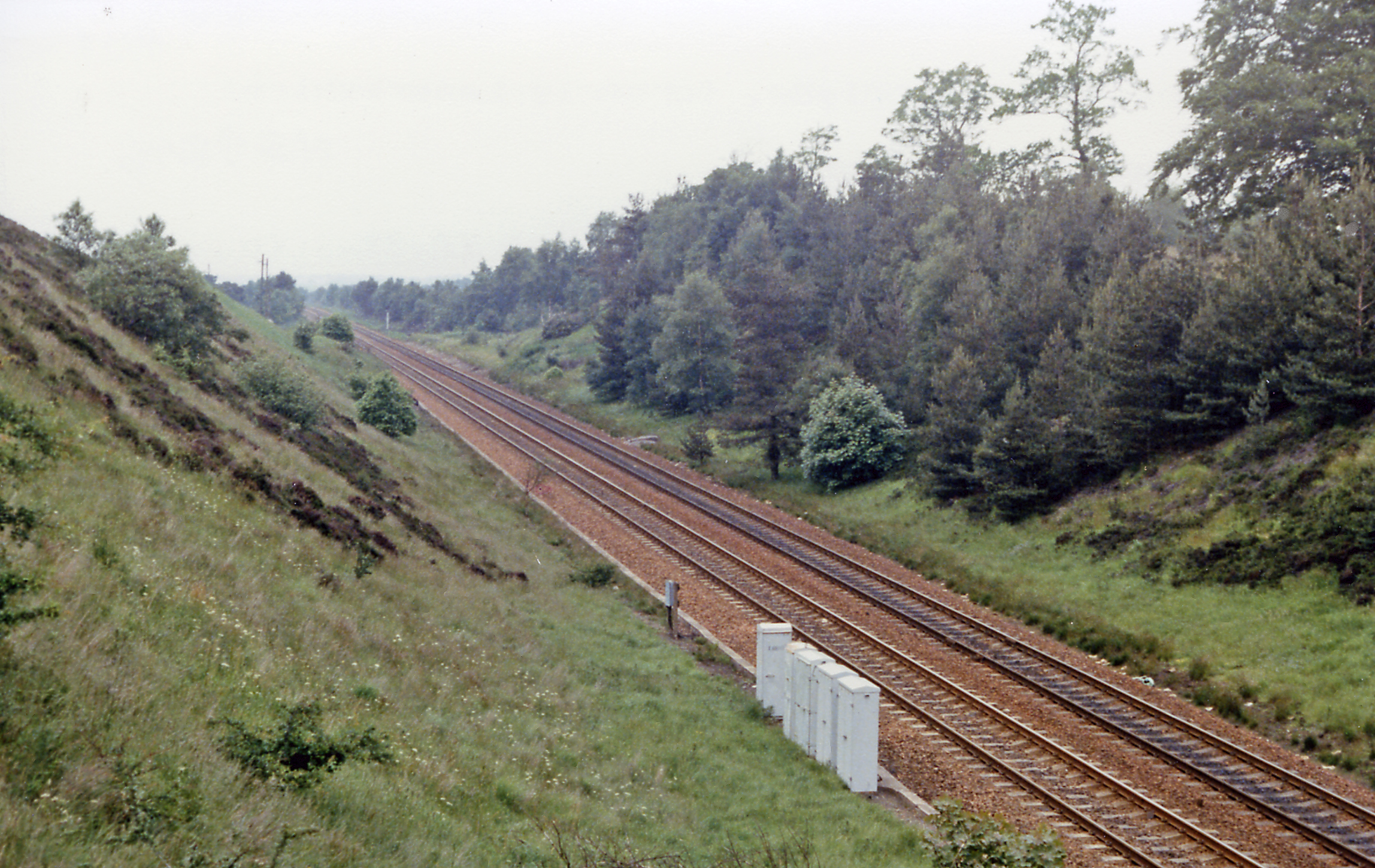
The wood is predominantly made up of a mixture of broadleaf and coniferous trees, including oak, beech, and Scots pine. These trees provide a stunning backdrop throughout the year, with vibrant autumnal colors and lush greenery in the summer months. The forest floor is carpeted with a variety of plants and wildflowers, creating a beautiful and serene environment.
Heathery Wood is home to a wide range of wildlife, including red squirrels, roe deer, and a variety of bird species such as woodpeckers and owls. Visitors may also spot the occasional badger or fox roaming through the trees.
The wood is crisscrossed with a network of walking trails, allowing visitors to explore the area at their own pace. These paths are well-maintained and suitable for all ages and abilities, making it an ideal destination for families and individuals looking for a peaceful and scenic outdoor experience.
Heathery Wood is easily accessible by car, with ample parking available. The wood is also well-connected to nearby towns and villages, making it a popular spot for locals and tourists alike. Whether you are looking for a leisurely stroll or a more challenging hike, Heathery Wood offers a tranquil escape into nature's beauty.
If you have any feedback on the listing, please let us know in the comments section below.
Heathery Wood Images
Images are sourced within 2km of 55.68209/-3.5985689 or Grid Reference NS9944. Thanks to Geograph Open Source API. All images are credited.


![Silage cutting, near Carnwath A late cut at Kaimend, by the Carnwath Road [A721].](https://s2.geograph.org.uk/geophotos/05/58/15/5581542_c6ccfda8.jpg)


Heathery Wood is located at Grid Ref: NS9944 (Lat: 55.68209, Lng: -3.5985689)
Unitary Authority: South Lanarkshire
Police Authority: Lanarkshire
What 3 Words
///chicken.wins.caused. Near Carnwath, South Lanarkshire
Nearby Locations
Related Wikis

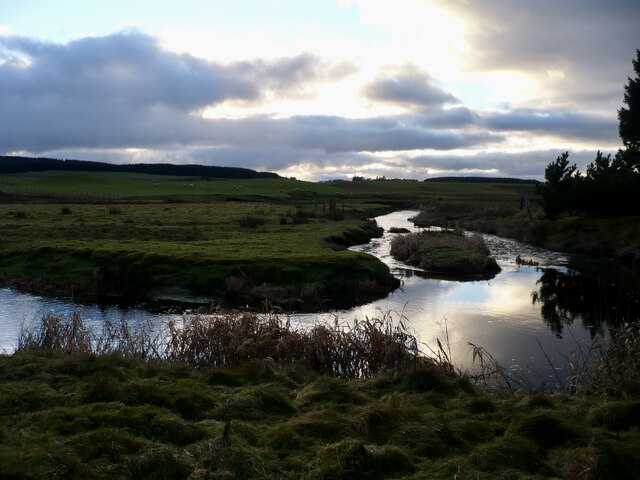
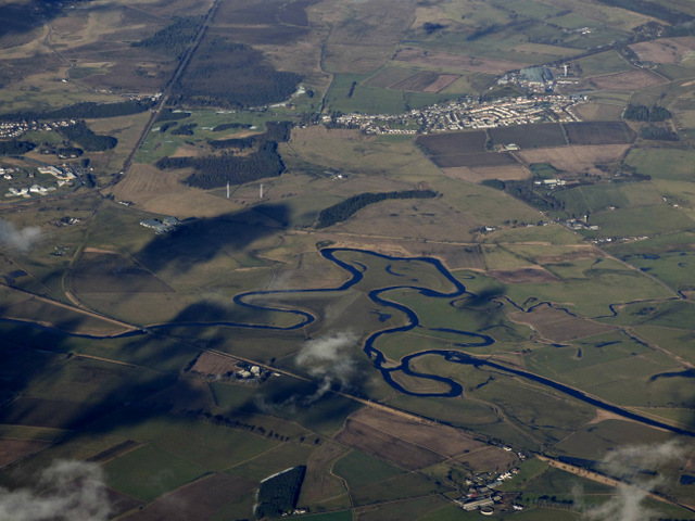
South Medwin River
South Medwin, sometimes spelled Medwyn, is a river in the Lanarkshire region of Scotland. Along with the confluence of the North Medwin River it forms...
Bankhead (Lanarkshire) railway station
Bankhead railway station served the isolated settlement of Bankhead, east of Carstairs Junction in South Lanarkshire, Scotland from 1867 to 1945 on the...
Libberton
Libberton is a village and historical parish in South Lanarkshire. The village is approximately 2 miles (3.2 km) north of Quothquan and 2.3 miles (3.68...
Newbigging, South Lanarkshire
Newbigging (Scots: Neebicken) is a hamlet in South Lanarkshire, Scotland. It is near Dunsyre at the southern end of the Pentland Hills. It is on the A72...

Newbigging railway station
Newbigging railway station served the hamlet of Newbigging, South Lanarkshire, Scotland from 1867 to 1945 on the Dolphinton branch. == History == The station...
Carnwath
Carnwath (Gaelic: A' Chathair Nuadh; English: "New Fort") is a moorland village on the southern edge of the Pentland Hills of South Lanarkshire, Scotland...

North Medwyn River
North Medwyn is a river in the Lanarkshire region of Scotland. Along with the confluence of the South Medwyn River it forms the Medwyn water basin. The...
Carnwath railway station
Carnwath railway station was located just west of the village of Carnwath, on the Caledonian Railway line between Carstairs railway station and Edinburgh...
Related Videos

3 Cylinder Adventures #ep4 a rather traumatic drive from Balerno to Carnwath
In this video we take a drive from Balerno near Edinburgh to Carnwath in Lanarkshire, now the most direct route is the A70 but as ...


360 video of the pass from west lothian bike runs
The riders passing by at first location outside Libberton.

#carnwath old church and cemetary at 1am spooky
We stopped off at a old church and cemetary in a little town outside lanark,we'll definatly go back! -~-~~-~~~-~~-~- Please watch: ...
Nearby Amenities
Located within 500m of 55.68209,-3.5985689Have you been to Heathery Wood?
Leave your review of Heathery Wood below (or comments, questions and feedback).