Mains Braes
Wood, Forest in Lanarkshire
Scotland
Mains Braes
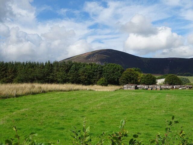
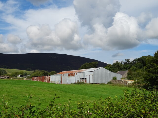
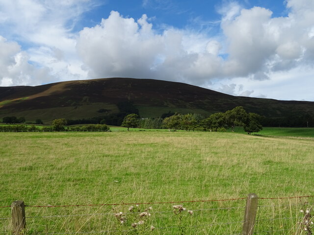
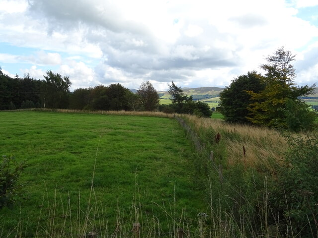
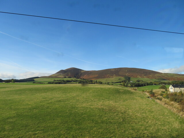
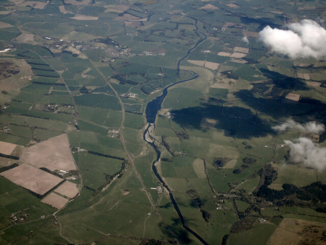
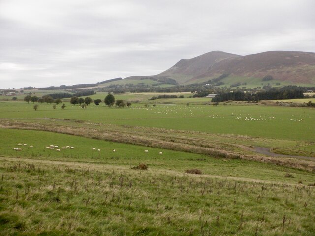
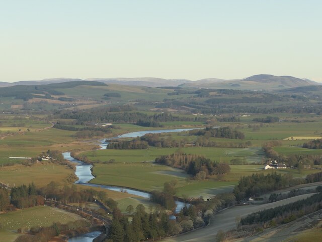
Mains Braes is a picturesque wooded area located in Lanarkshire, Scotland. Situated amidst the rolling hills and lush countryside, this forest offers a serene and tranquil setting for visitors to immerse themselves in nature.
Covering an expansive area, Mains Braes is predominantly composed of dense woodlands, consisting of a variety of tree species such as oak, beech, and pine. The trees create a dense canopy, casting dappled sunlight onto the forest floor and providing a habitat for numerous flora and fauna.
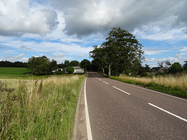
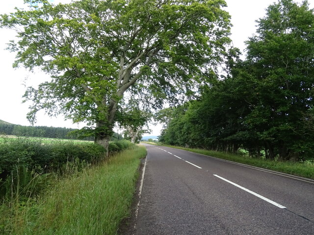
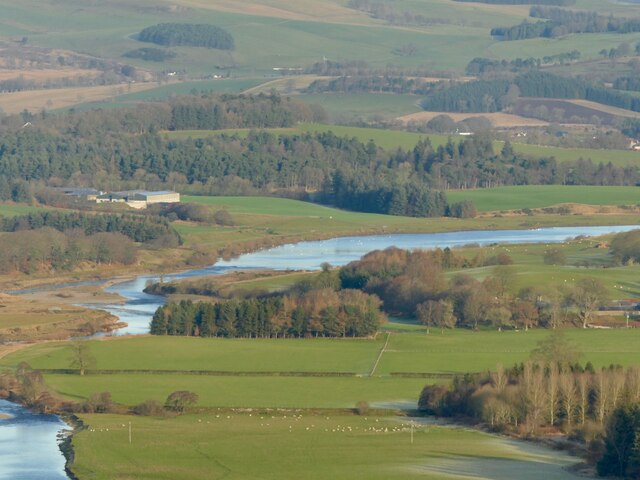
The forest is crisscrossed with a network of well-maintained trails, making it a popular destination for hikers, walkers, and nature enthusiasts. These paths offer opportunities to explore the natural beauty of the area, with glimpses of wildflowers, moss-covered rocks, and babbling brooks along the way.
Mains Braes is also home to a diverse range of wildlife. Observant visitors may spot squirrels darting through the treetops or deer grazing in clearings. Birdwatchers can enjoy the melodious songs of various avian species, including woodpeckers and thrushes.
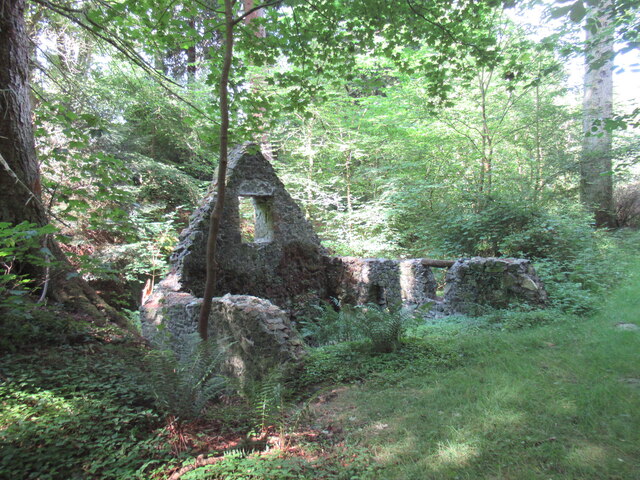
The forest is open to the public year-round, providing different experiences with each season. In spring, the woods come alive with vibrant blooms and fresh green foliage. Summer brings a lush canopy of leaves, providing shade on warm days. Autumn transforms the forest into a kaleidoscope of colors as the leaves change, and winter adds a magical touch with frost-covered branches and the possibility of a light dusting of snow.
Overall, Mains Braes in Lanarkshire offers visitors a chance to escape the hustle and bustle of everyday life and immerse themselves in the beauty and tranquility of a Scottish woodland.
If you have any feedback on the listing, please let us know in the comments section below.
Mains Braes Images
Images are sourced within 2km of 55.573722/-3.6156706 or Grid Reference NS9832. Thanks to Geograph Open Source API. All images are credited.


Mains Braes is located at Grid Ref: NS9832 (Lat: 55.573722, Lng: -3.6156706)
Unitary Authority: South Lanarkshire
Police Authority: Lanarkshire
What 3 Words
///rinses.trouble.segmented. Near Biggar, South Lanarkshire
Nearby Locations
Related Wikis

Lamington, South Lanarkshire
Lamington is a conservation village in South Lanarkshire in Scotland, roughly between Biggar and Lanark and sits astride the A702 trunk road. It is reputed...

Lamington railway station
Lamington railway station served the village of Lamington, South Lanarkshire, Scotland from 1848 to 1965 on the Caledonian main line. == History == The...

Wiston, South Lanarkshire
Wiston is a small village in South Lanarkshire, Scotland. It is located 13 miles (21 km) south east of Lanark and 8 miles (13 km) south west of Biggar...

Symington, South Lanarkshire
Symington is a small village in South Lanarkshire, Scotland, 3 miles (5 km) southwest of Biggar, 10 miles (16 km) east of Douglas and 13 miles (21 km)...

Unthank, South Lanarkshire
Unthank is a small village in South Lanarkshire, Scotland. == Note == The geographic coordinates are from the Ordnance Survey. == References ==
Roberton, South Lanarkshire
Roberton is a village in South Lanarkshire, Scotland. == Origins == The origins of the town of Roberton are intertwined with those of the Robertons of...

Tinto
Tinto is an isolated hill in the Southern Uplands of Scotland. It comprises little more than one top, which stands on the west bank of the River Clyde...

A72 road
The A72 road is a major route in Scotland connecting Hamilton in South Lanarkshire, with Galashiels in the Scottish Borders. It travels for over 97 kilometres...
Nearby Amenities
Located within 500m of 55.573722,-3.6156706Have you been to Mains Braes?
Leave your review of Mains Braes below (or comments, questions and feedback).