Upper Littlegill Wood
Wood, Forest in Lanarkshire
Scotland
Upper Littlegill Wood
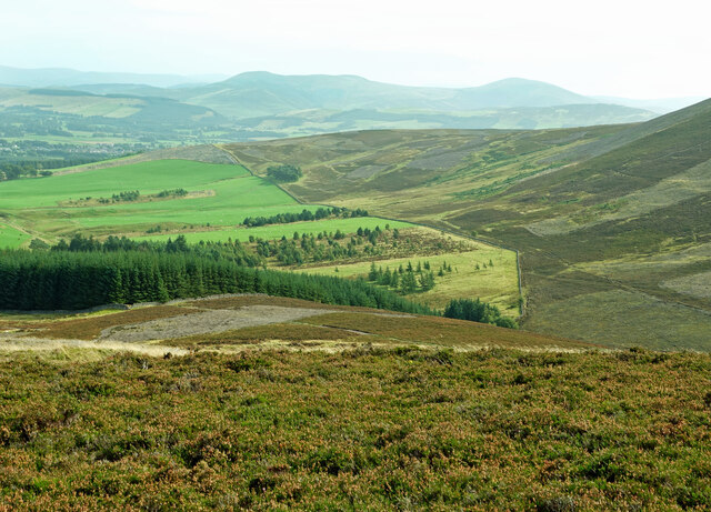
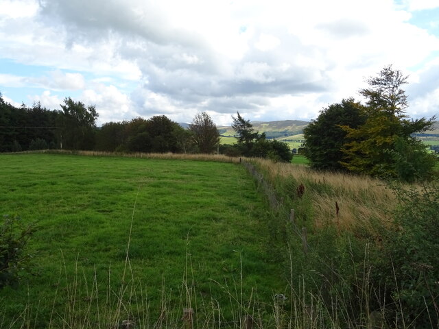
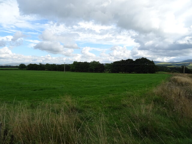
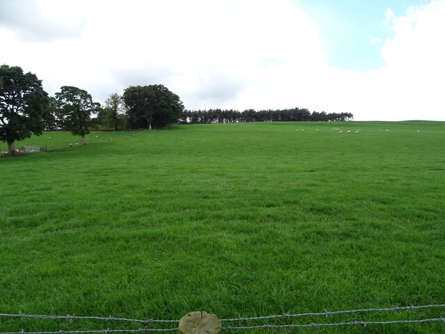
Upper Littlegill Wood is a picturesque forest located in Lanarkshire, Scotland. Covering an area of approximately 100 acres, it is a popular destination for nature lovers, hikers, and birdwatchers. The wood is part of the larger Clyde Valley Woodlands National Nature Reserve, renowned for its rich biodiversity and stunning landscapes.
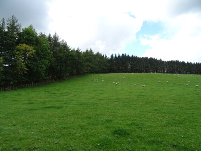
The forest is predominantly composed of native broadleaf trees, including oak, birch, and rowan. These trees provide a dense canopy, creating a cool and tranquil atmosphere within the wood. The forest floor is adorned with a vibrant carpet of wildflowers and ferns, adding to its natural beauty.
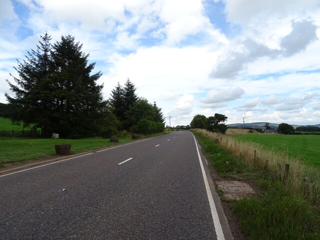
Upper Littlegill Wood offers a network of well-maintained walking trails, allowing visitors to explore its diverse habitats. As you wander through the wood, you may encounter various wildlife species such as red squirrels, roe deer, and a variety of bird species including woodpeckers and chaffinches. The forest is especially known for its population of rare and elusive pine martens.
The wood is also home to a small, picturesque stream that meanders through the trees, providing a peaceful backdrop to the sounds of nature. This stream attracts a plethora of aquatic species, including brown trout and kingfishers.
Overall, Upper Littlegill Wood is a hidden gem in Lanarkshire, offering visitors a chance to immerse themselves in nature and experience the tranquility of a Scottish woodland. Whether you are a nature enthusiast or simply seeking a peaceful escape, this forest is a must-visit destination.
If you have any feedback on the listing, please let us know in the comments section below.
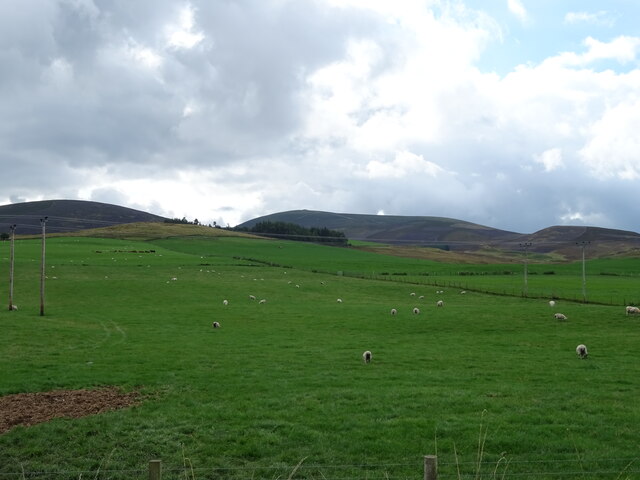
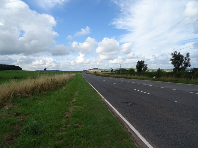
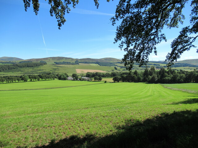
Upper Littlegill Wood Images
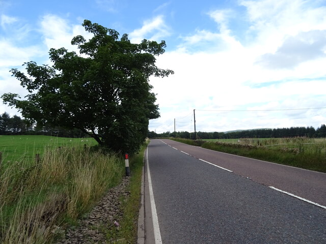
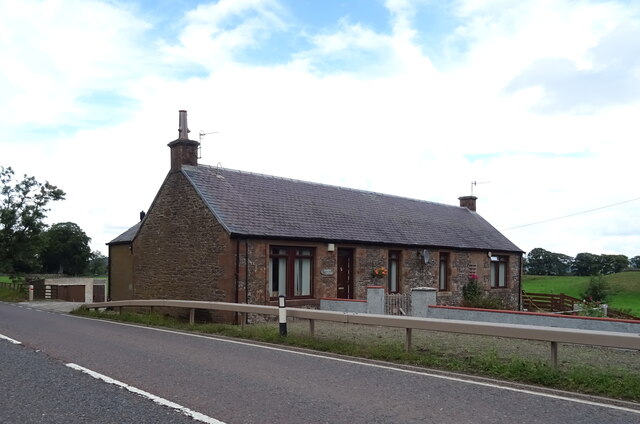
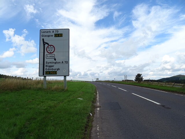
Images are sourced within 2km of 55.600714/-3.6227482 or Grid Reference NS9735. Thanks to Geograph Open Source API. All images are credited.


Upper Littlegill Wood is located at Grid Ref: NS9735 (Lat: 55.600714, Lng: -3.6227482)
Unitary Authority: South Lanarkshire
Police Authority: Lanarkshire
What 3 Words
///skewing.most.vanilla. Near Biggar, South Lanarkshire
Related Wikis

Symington railway station
Symington railway station served the village of Symington in Scotland between 1848 and 1965. It was on the main line of the Caledonian Railway and for...

Symington, South Lanarkshire
Symington is a small village in South Lanarkshire, Scotland, 3 miles (5 km) southwest of Biggar, 10 miles (16 km) east of Douglas and 13 miles (21 km)...

A72 road
The A72 road is a major route in Scotland connecting Hamilton in South Lanarkshire, with Galashiels in the Scottish Borders. It travels for over 97 kilometres...

Tinto
Tinto is an isolated hill in the Southern Uplands of Scotland. It comprises little more than one top, which stands on the west bank of the River Clyde...
Nearby Amenities
Located within 500m of 55.600714,-3.6227482Have you been to Upper Littlegill Wood?
Leave your review of Upper Littlegill Wood below (or comments, questions and feedback).