Bishopbrae Strips
Wood, Forest in West Lothian
Scotland
Bishopbrae Strips
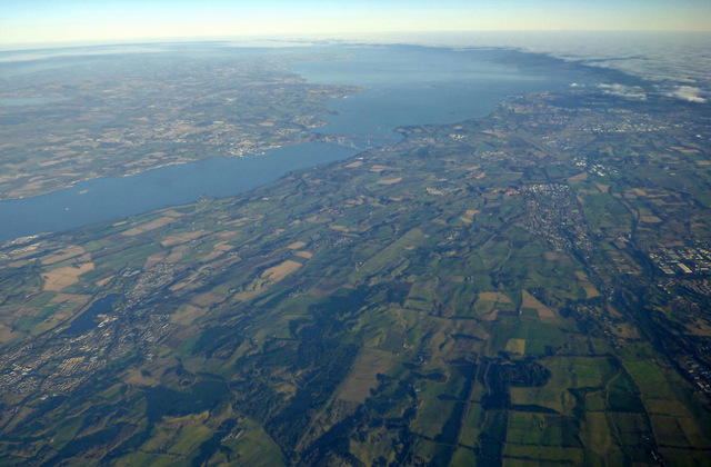
Bishopbrae Strips is a woodland area located in West Lothian, Scotland. This picturesque forest is nestled within the larger Bishopbrae Wood, covering an area of approximately 200 acres. The strips refer to long stretches of land within the wood that are surrounded by tall trees, creating an enchanting and secluded atmosphere.
The woodland is predominantly composed of native Scottish tree species, including oak, birch, and pine. These trees provide a rich habitat for a diverse range of flora and fauna, contributing to the overall biodiversity of the area. The forest floor is adorned with a carpet of mosses, ferns, and wildflowers, adding to the natural beauty of the surroundings.
Bishopbrae Strips is a popular destination for nature enthusiasts, hikers, and birdwatchers. The tranquil environment offers a peaceful retreat from the hustle and bustle of urban life, allowing visitors to immerse themselves in the serenity of the woodland. The well-maintained walking trails meander through the strips, providing easy access for visitors to explore the area at their own pace.
The forest is home to a variety of wildlife, including red squirrels, deer, and a plethora of bird species. Birdwatchers often visit Bishopbrae Strips to catch a glimpse of elusive species such as the Scottish crossbill or the lesser spotted woodpecker. The woodland also provides nesting sites for owls, making it a haven for bird lovers.
Overall, Bishopbrae Strips in West Lothian is a magnificent woodland that offers a tranquil escape into nature. Its lush vegetation, diverse wildlife, and well-maintained trails make it a must-visit destination for anyone seeking solace and natural beauty.
If you have any feedback on the listing, please let us know in the comments section below.
Bishopbrae Strips Images
Images are sourced within 2km of 55.92998/-3.6385521 or Grid Reference NS9771. Thanks to Geograph Open Source API. All images are credited.


Bishopbrae Strips is located at Grid Ref: NS9771 (Lat: 55.92998, Lng: -3.6385521)
Unitary Authority: West Lothian
Police Authority: The Lothians and Scottish Borders
What 3 Words
///gobblers.mingles.duck. Near Bathgate, West Lothian
Nearby Locations
Related Wikis
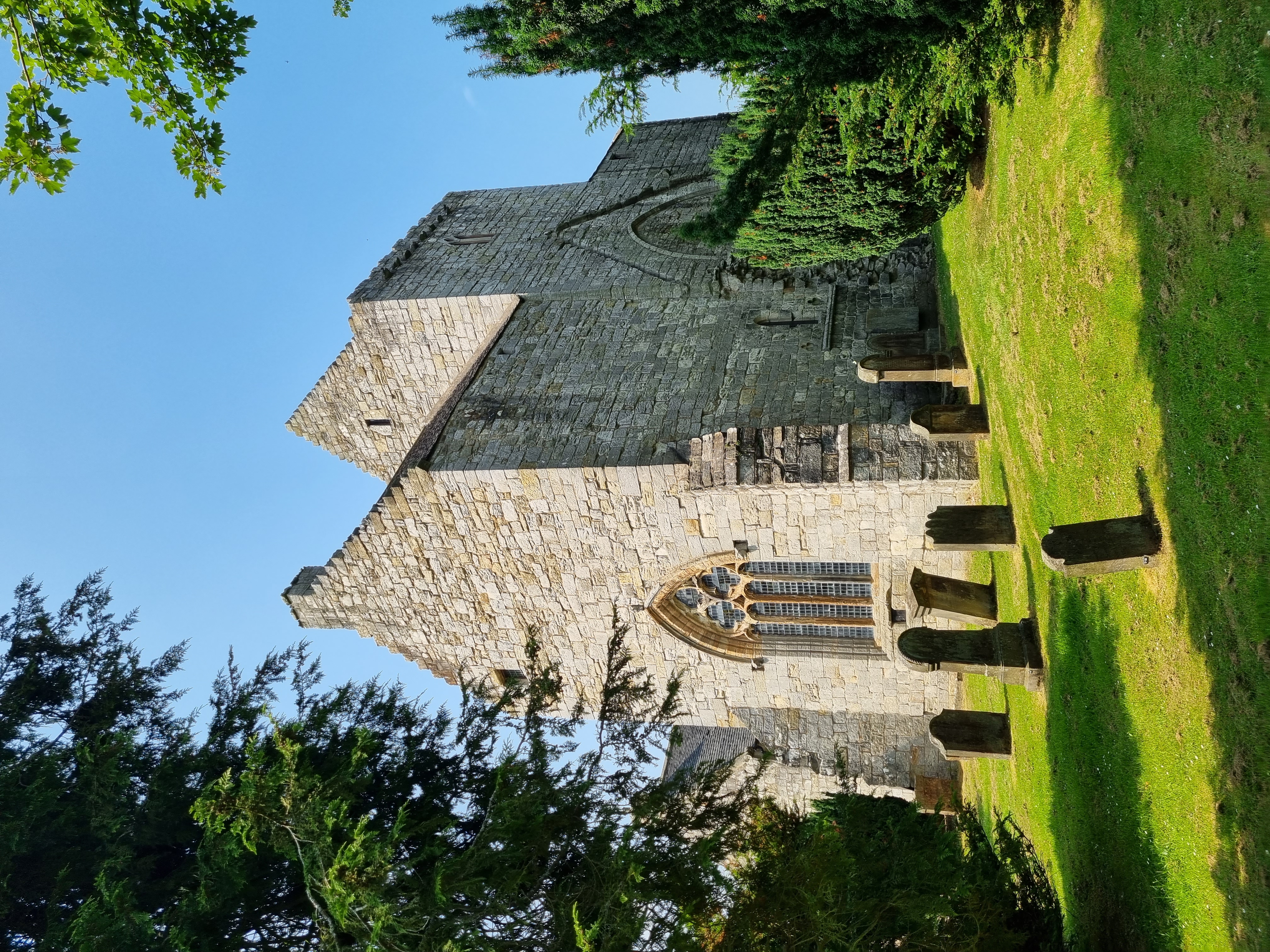
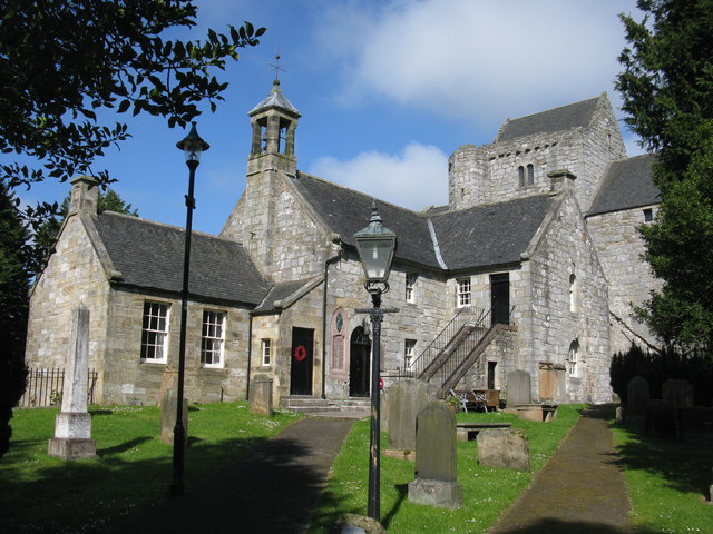
Torphichen Preceptory
Torphichen Preceptory is a church in the village of Torphichen, West Lothian, Scotland. It comprises the remains of the preceptory (headquarters) of the...

Cairnpapple Hill
Cairnpapple Hill is a hill with a dominating position in central lowland Scotland with views from coast to coast. It was used and re-used as a major ritual...
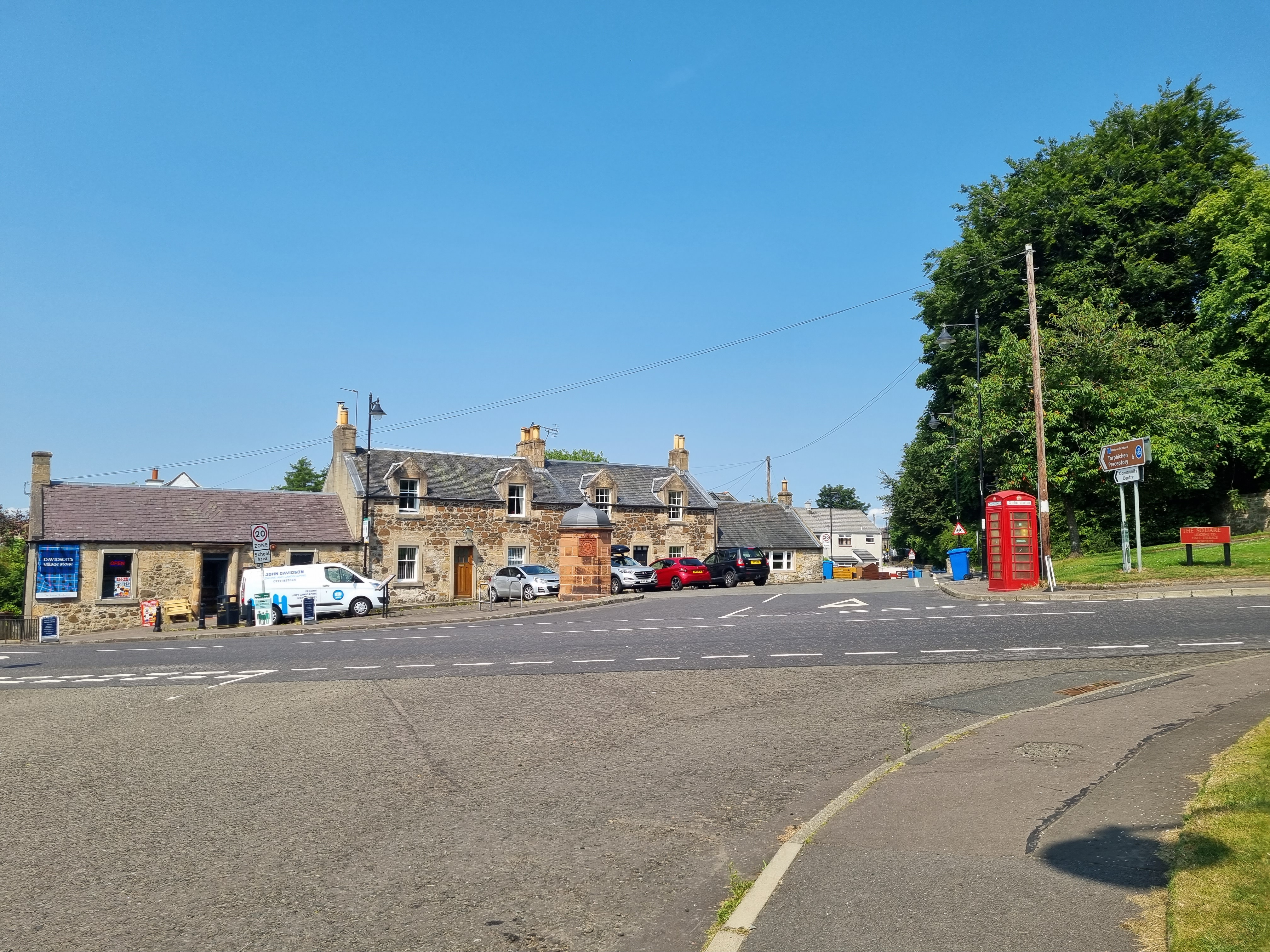
Torphichen
Torphichen ( tor-FIKH-ən) is a historic small village located north of Bathgate in West Lothian, Scotland. The village is approximately 18 miles (29 km...

Hilderston, West Lothian
Hilderston or Hilderstone in West Lothian, Scotland, was the site of the discovery of a vein of silver in 1606 and a mining operation that attracted international...
Nearby Amenities
Located within 500m of 55.92998,-3.6385521Have you been to Bishopbrae Strips?
Leave your review of Bishopbrae Strips below (or comments, questions and feedback).