Boghole Wood
Wood, Forest in Nairnshire
Scotland
Boghole Wood
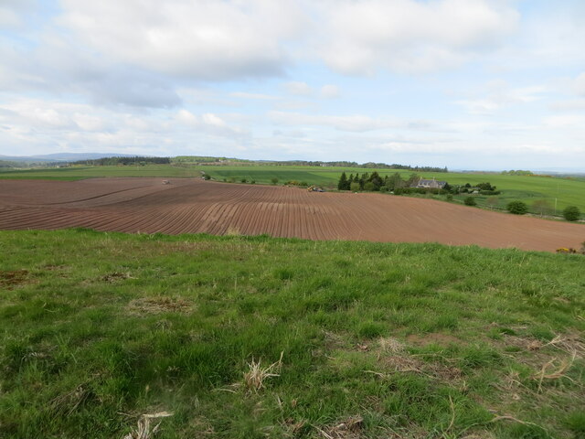
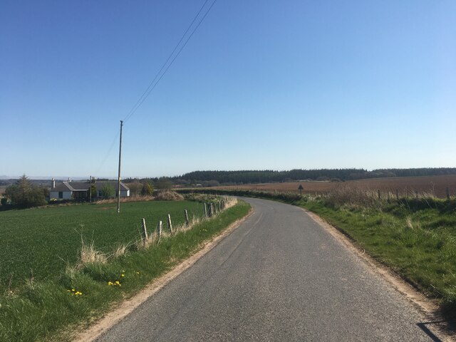
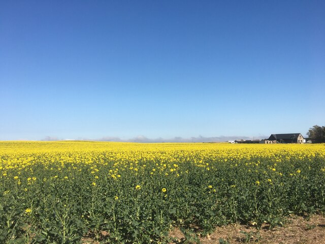
Boghole Wood is a picturesque forest located in Nairnshire, Scotland. Situated just a few miles outside the town of Nairn, this woodland area covers an approximate area of 200 acres. The wood is predominantly made up of native Scottish tree species, including oak, birch, and pine, creating a diverse and vibrant ecosystem.
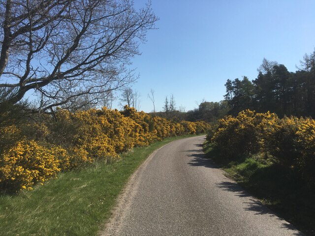
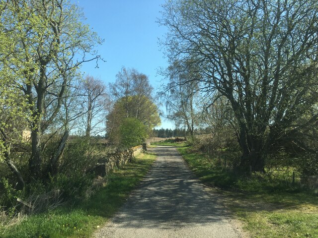
The woodland is characterized by its dense vegetation and moss-covered forest floor, giving it a mystical and enchanting atmosphere. The trees tower above, providing shade and shelter for a variety of wildlife that calls Boghole Wood its home. Visitors can often spot red squirrels, roe deer, and a wide range of bird species, such as woodpeckers and owls.
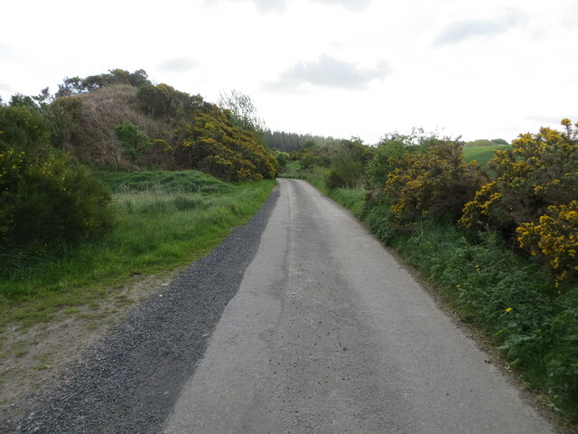
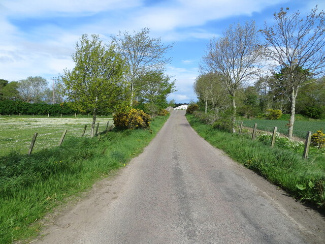
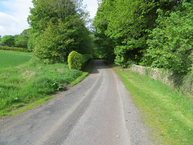
A network of well-maintained trails winds through the wood, allowing visitors to explore its beauty at their own pace. These paths offer breathtaking views of the surrounding countryside and lead to a hidden waterfall that cascades down a rocky gorge, providing a tranquil retreat for those seeking solace in nature.
Boghole Wood is not only valued for its natural beauty but also for its historical significance. It is believed that the wood has been in existence for centuries, with evidence of human settlements dating back to the Iron Age. Archaeological remains, including standing stones and burial mounds, have been discovered within the forest, adding to its allure.
The wood is a popular destination for nature lovers, hikers, and photographers, who come to experience its serenity and capture its splendor. With its rich biodiversity and captivating scenery, Boghole Wood is a true gem of Nairnshire and a haven for those seeking a connection with nature.
If you have any feedback on the listing, please let us know in the comments section below.
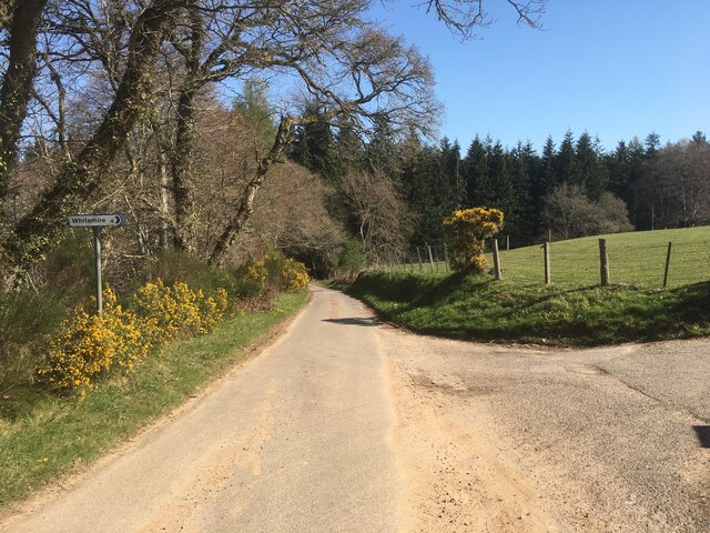
Boghole Wood Images
Images are sourced within 2km of 57.569012/-3.7185649 or Grid Reference NH9754. Thanks to Geograph Open Source API. All images are credited.


Boghole Wood is located at Grid Ref: NH9754 (Lat: 57.569012, Lng: -3.7185649)
Unitary Authority: Highland
Police Authority: Highlands and Islands
What 3 Words
///lecturers.seagull.highly. Near Forres, Moray
Nearby Locations
Related Wikis

Darnaway Castle
Darnaway Castle, also known as Tarnaway Castle, is located in Darnaway Forest, 3 miles (4.8 km) southwest of Forres in Moray, Scotland. This was Comyn...
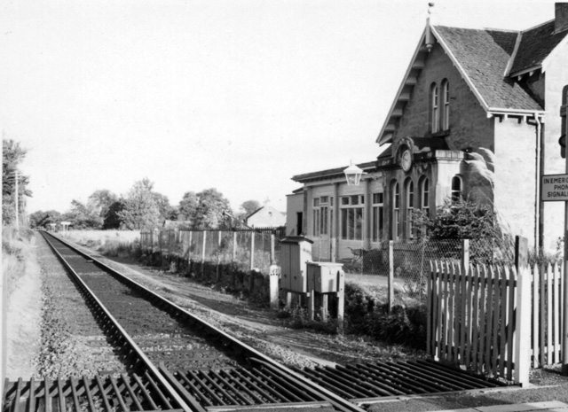
Brodie railway station
Brodie railway station served the area of Brodie, Moray, Scotland from 1857 to 1965 on the Inverness and Aberdeen Junction Railway. == History == The station...

Rodney's Stone
Rodney's Stone is a two-metre high Pictish cross slab now located close on the approach way to Brodie Castle, near Forres, Moray, Scotland. It was originally...

Dyke, Moray
Dyke (Scottish Gaelic: Dìg) is a small village situated in the north of Scotland on the Moray coast, approximately 4 miles west of Forres. The origin of...
Have you been to Boghole Wood?
Leave your review of Boghole Wood below (or comments, questions and feedback).