Kirkton Wood

Wood, Forest in Fife

Scotland

Kirkton Wood

Culross Seen from Bo'ness, across the Forth.
Culross Credit: Richard Sutcliffe

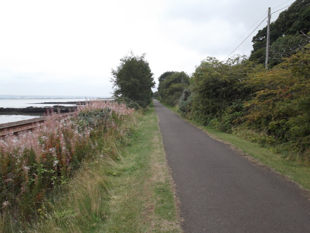
Kirkton Wood is a picturesque forest located in the county of Fife, Scotland. Covering an area of approximately 200 acres, this woodland wonderland is known for its diverse range of flora and fauna, making it a haven for nature enthusiasts and outdoor adventurers.

The woodland is predominantly composed of native broadleaf trees, including oak, birch, and beech. These towering trees create a dense canopy that provides shade and shelter for a variety of woodland creatures. Walking through Kirkton Wood, visitors will be greeted by a symphony of bird songs and the occasional scurrying of small mammals.

The forest is crisscrossed with a network of well-maintained trails, allowing visitors to explore the area at their own pace. These trails wind through the forest, offering breathtaking views of the surrounding countryside and glimpses of wildlife along the way. Additionally, there are several picnic areas dotted throughout the woodland, providing the perfect spot to rest and enjoy a packed lunch amidst nature's beauty.

Kirkton Wood is not only a haven for wildlife, but it also holds historical significance. The remnants of an old sawmill can still be found within the woodland, serving as a reminder of the area's rich industrial past.

Overall, Kirkton Wood is a hidden gem in the heart of Fife, offering a tranquil escape from the hustle and bustle of everyday life. With its stunning natural beauty and abundance of wildlife, it is a must-visit destination for those seeking a peaceful retreat in the Scottish countryside.

If you have any feedback on the listing, please let us know in the comments section below.
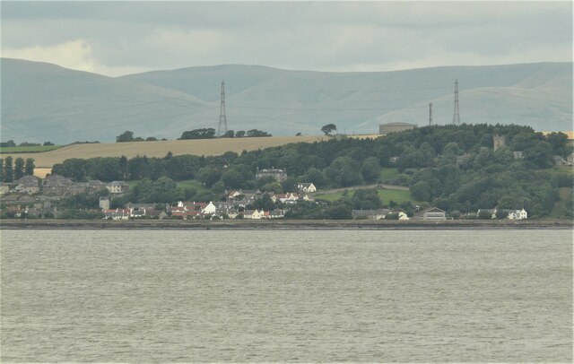
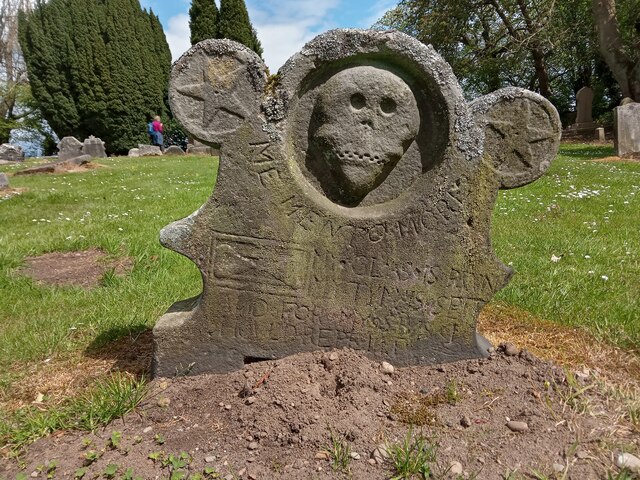
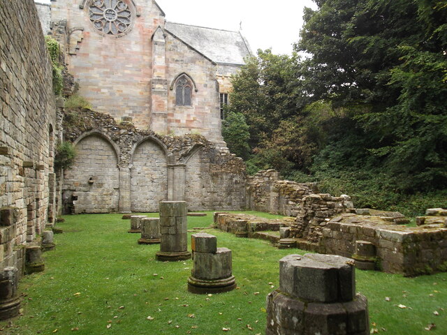
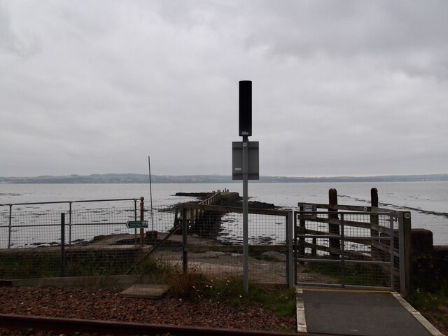
Kirkton Wood Images

Images are sourced within 2km of 56.066887/-3.6517141 or Grid Reference NS9787. Thanks to Geograph Open Source API. All images are credited.

Culross Seen from Bo'ness, across the Forth.
Culross
Seen from Bo'ness, across the Forth.
A Humourous Epitaph This is definitely the most eccentric gravestone I have come across so far. Why it has big stars for ears is the first question that comes to mind - it looks like a Snapchat filter ahead of time.
The epitaph took a bit of deciphering but I'm pretty sure the following is a fairly accurate transcription:
MY GLASS IS RVN
MY TYM IS SPENT
AND FOR MY SINS I SHOULD REPENT
It is almost unheard of to read anything so light-hearted on a gravestone and it is rather like the dead man is entering the afterlife - though it would seem unlikely he bought into religion too much on the basis of this - with a smile and a wink!
There is fresh earth around the stone. This usually signifies that the headstone had become unstable over time and has recently been righted. However it still sits at a jaunty angle. This guy's not just having the last laugh, he seems to be having all the laughs!
A Humourous Epitaph
This is definitely the most eccentric gravestone I have come across so far. Why it has big stars for ears is the first question that comes to mind - it looks like a Snapchat filter ahead of time. The epitaph took a bit of deciphering but I'm pretty sure the following is a fairly accurate transcription: MY GLASS IS RVN MY TYM IS SPENT AND FOR MY SINS I SHOULD REPENT It is almost unheard of to read anything so light-hearted on a gravestone and it is rather like the dead man is entering the afterlife - though it would seem unlikely he bought into religion too much on the basis of this - with a smile and a wink! There is fresh earth around the stone. This usually signifies that the headstone had become unstable over time and has recently been righted. However it still sits at a jaunty angle. This guy's not just having the last laugh, he seems to be having all the laughs!
Ruins in Culross Abbey
The Moat Pier Used for the exportation of coal
The Moat Pier
Used for the exportation of coal
Fife Coastal Path west of Culross
Culross Old Pier A view of the Culross Old Pier at sunset which has been slowly reconstructed over the years and now extends out almost to its original length. The pier provides an excellent view point for bird watching at low tide and spectacular evening sunset views.
Culross Old Pier
A view of the Culross Old Pier at sunset which has been slowly reconstructed over the years and now extends out almost to its original length. The pier provides an excellent view point for bird watching at low tide and spectacular evening sunset views.
A985 north of Culross, Fife
Culross National Trust Village: Palace This is situated in the very top of the square, in the centre. It was taken looking north, with the sea behind the photographer.
Culross National Trust Village: Palace
This is situated in the very top of the square, in the centre. It was taken looking north, with the sea behind the photographer.
Culross substation Even historic places need power, and this was a very tasteful way of meeting community needs without destroying the evident character of the cobble-stoned streets and historic buildings.
Culross substation
Even historic places need power, and this was a very tasteful way of meeting community needs without destroying the evident character of the cobble-stoned streets and historic buildings.
Culross Palace Courtyard
A Fife Farm, nr Blairhall Farmland near Blairhall and Culross, Fife, with the sunlit Ochil Hills in the distance. Taken from the A985 on a freezing cold November afternoon.
A Fife Farm, nr Blairhall
Farmland near Blairhall and Culross, Fife, with the sunlit Ochil Hills in the distance. Taken from the A985 on a freezing cold November afternoon.
Culross Cemetery. Although it is called Culross Cemetery it is situated about two miles north of Culross.This view is to the west with Blairhall Mains Farm and The Ochill Hills in the background.
Culross Cemetery.
Although it is called Culross Cemetery it is situated about two miles north of Culross.This view is to the west with Blairhall Mains Farm and The Ochill Hills in the background.
Culross Abbey. The tower of Culross Abbey as seen looking up Kirk Street.
Culross Abbey.
The tower of Culross Abbey as seen looking up Kirk Street.
Firth of Forth. Looking eastwards from Culross this  picture shows Valleyfield ash lagoons, a naval ship tied up at Crombie Pier, and The Forth Bridges.
Firth of Forth.
Looking eastwards from Culross this picture shows Valleyfield ash lagoons, a naval ship tied up at Crombie Pier, and The Forth Bridges.
Oil Refinery. Grangemouth Oil Refinery taken from Culross on the opposite side of The Forth.
Oil Refinery.
Grangemouth Oil Refinery taken from Culross on the opposite side of The Forth.
Culross, Town House A mediaeval village (pronounced COO-russ, with the stress on the first syllable and an indistinct vowel in the second - a monument of 1642 <a href="https://www.geograph.org.uk/photo/2949851">NS9886 : Sir George Bruce Monument, Culross Abbey</a> uses the spelling "The Cooras") with many houses renovated by the National Trust for Scotland. Red pantiles are common along the Fife coast.
Culross, Town House
A mediaeval village (pronounced COO-russ, with the stress on the first syllable and an indistinct vowel in the second - a monument of 1642 NS9886 : Sir George Bruce Monument, Culross Abbey uses the spelling "The Cooras") with many houses renovated by the National Trust for Scotland. Red pantiles are common along the Fife coast.
Mercat Cross and The Study, Culross Culross (pronounced COO-russ) has benefited from the National Trust for Scotland's renovation work.
Mercat Cross and The Study, Culross
Culross (pronounced COO-russ) has benefited from the National Trust for Scotland's renovation work.
Show me another place!

Kirkton Wood is located at Grid Ref: NS9787 (Lat: 56.066887, Lng: -3.6517141)

Unitary Authority: Fife

Police Authority: Fife

What 3 Words

///jungle.regret.types. Near High Valleyfield, Fife

Nearby Locations

Kirkton Wood

Related Wikis

Dunimarle Castle

Dunimarle Castle is located 1 km west of the centre of the village of Culross in Fife, Scotland. The name 'Dunimarle' means 'castle by the sea', although...
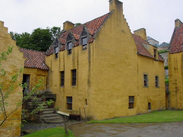
Culross Palace

Culross Palace is a late 16th to early 17th century merchant's house in Culross, Fife, Scotland. The palace, or "Great Lodging", was constructed between...

Balgownie Wood

Balgownie Wood is a woodland in West Fife, Scotland, south of the village of Blairhall and east of Balgownie Mains. The woods used to belong to nearby...

Culross Town House

Culross Town House, also known as Culross Tolbooth, is a municipal structure in the Sandhaven area of Culross, Fife, Scotland. The building, which now...
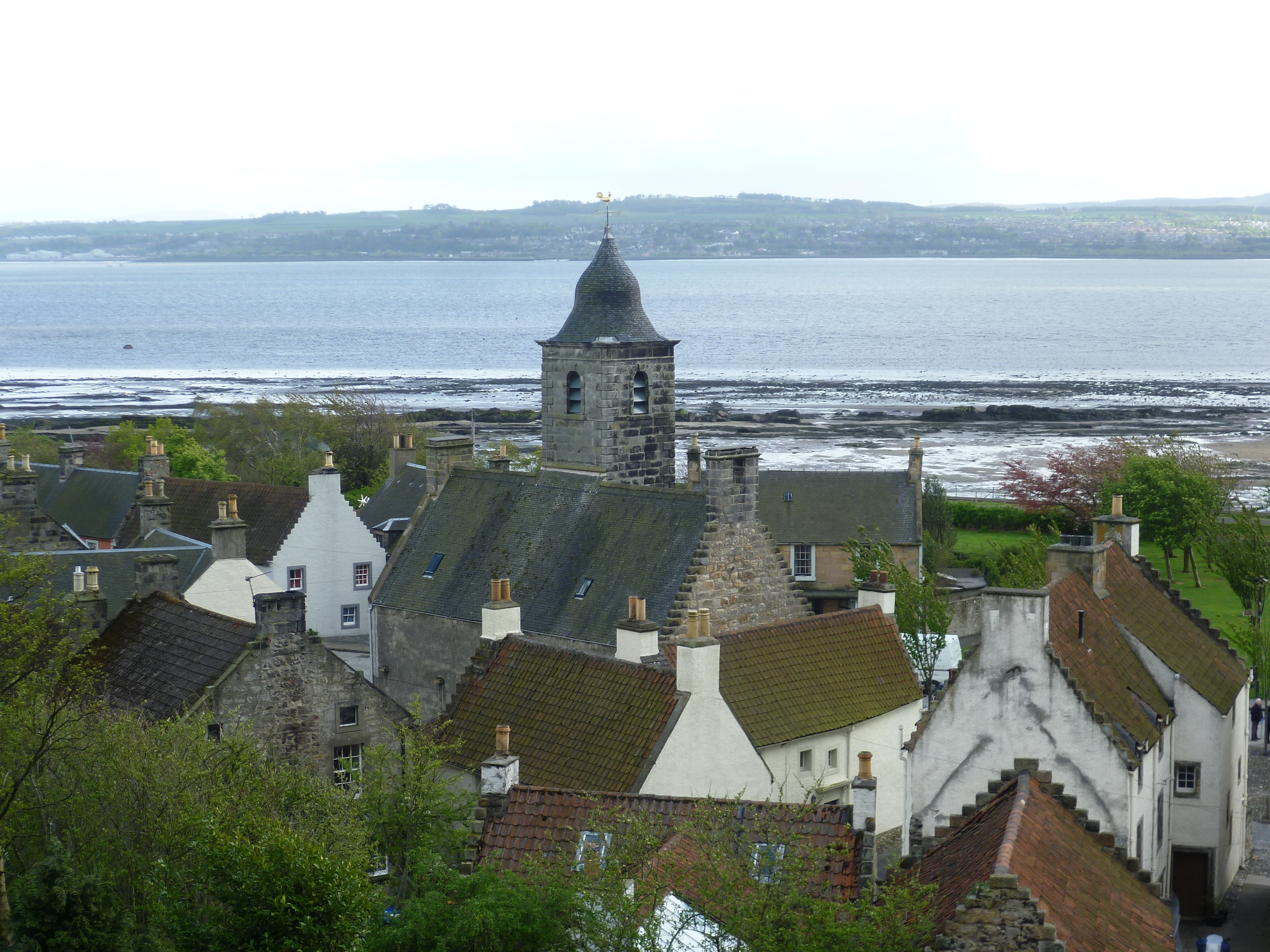
Culross

Culross (/ˈkurəs/) (Scottish Gaelic: Cuileann Ros, 'holly point or promontory') is a village and former royal burgh, and parish, in Fife, Scotland. According...

Culross Abbey

Culross Abbey is a former Cistercian abbey in Culross, Scotland, headed by the Abbot or Commendator of Culross. Part of it is still used as the local parish...

Culross mercat cross

Culross mercat cross is located in Culross, Fife, Scotland. Now Category A listed, its base dates to the original 16th-century mercat cross. Its shaft...

Crail market cross

Crail market cross is located in Crail, Fife, Scotland. Erected in the early 17th century and now Category B listed, it is a mercat cross with a square...

Nearby Amenities

Located within 500m of 56.066887,-3.6517141
Plague Grave
Historic: memorial
Source: survey
Lat/Long: 56.0633766/-3.6563037
Parking
Access: yes
Fee: no
Parking: layby
Source: survey
Lat/Long: 56.0658728/-3.6534011
Power: pole
Lat/Long: 56.069465/-3.6457227
Power: pole
Lat/Long: 56.0686534/-3.6455826
Material: wood
Power: pole
Lat/Long: 56.0678176/-3.6454425
Material: wood
Power: pole
Lat/Long: 56.0669736/-3.6453073
Material: wood
Power: pole
Lat/Long: 56.0661647/-3.6451865
Material: wood
Power: pole
Lat/Long: 56.065612/-3.6459738
Material: wood
Power: pole
Lat/Long: 56.0649864/-3.6468143
Material: wood
Power: pole
Lat/Long: 56.0644577/-3.6475421
Material: wood
Power: pole
Lat/Long: 56.0639185/-3.6482927
Material: wood
Power: pole
Lat/Long: 56.0633458/-3.6490597
Material: wood
Power: pole
Lat/Long: 56.0627489/-3.6498982
The data included in this document is from www.openstreetmap.org. The data is made available under ODbL.

Have you been to Kirkton Wood?

Leave your review of Kirkton Wood below (or comments, questions and feedback).