Burrowine Belt

Wood, Forest in Fife

Scotland

Burrowine Belt

A907 towards Dunfermline
A907 towards Dunfermline Credit: Steven Brown

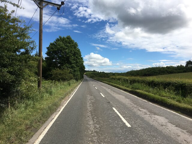
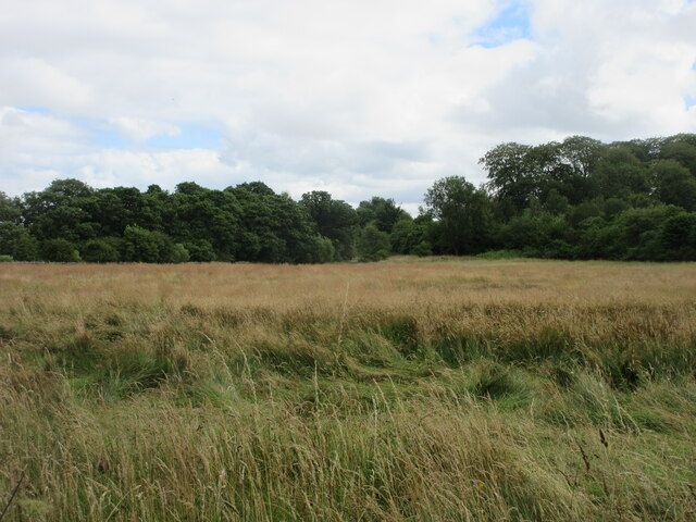
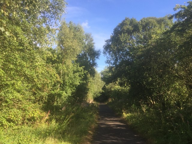
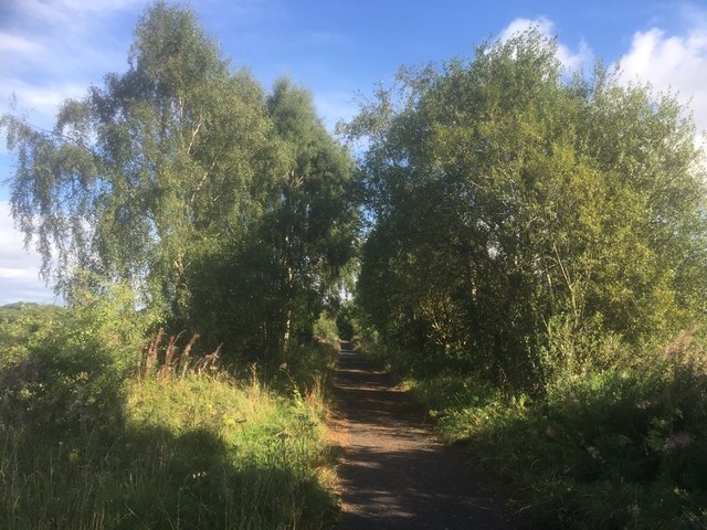
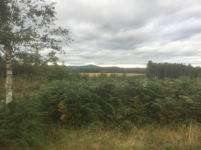
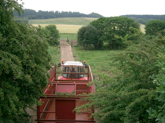
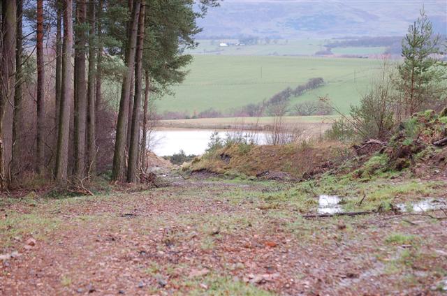
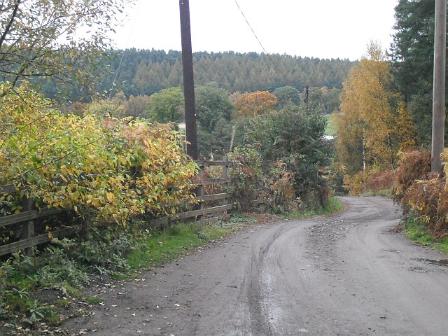
Burrowine Belt, located in Fife, Scotland, is a beautiful woodland area known for its scenic landscapes and diverse wildlife. Spanning approximately 200 acres, this forested belt offers a tranquil retreat for nature enthusiasts and outdoor adventurers alike.

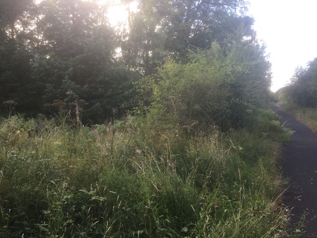
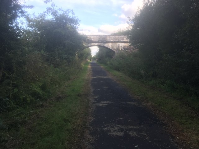
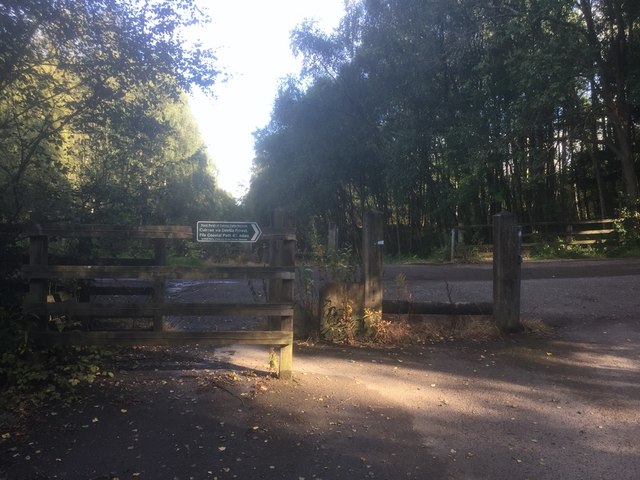
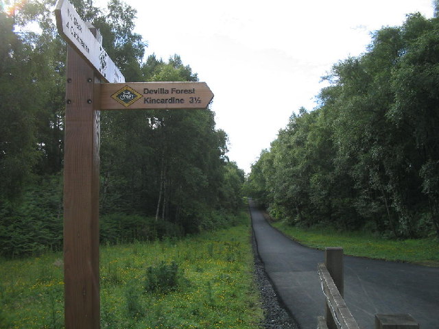
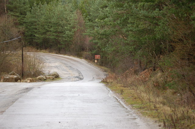
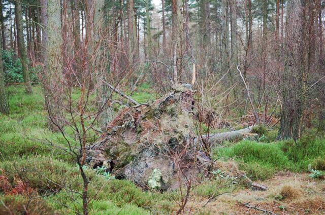
The woodland is characterized by a mix of native tree species, including oak, birch, and pine, which create a dense canopy overhead. The forest floor is covered in a rich carpet of mosses, ferns, and wildflowers, adding to the area's natural beauty. Several walking trails wind their way through the wood, providing visitors with an opportunity to explore the area and discover its hidden gems.

Wildlife is abundant in Burrowine Belt, with various bird species, such as woodpeckers, owls, and songbirds, filling the air with their melodious tunes. Mammals, including red squirrels, rabbits, and deer, can also be spotted roaming the forest. The area is a haven for nature photographers and birdwatchers, offering ample opportunities for capturing stunning images of the local flora and fauna.

In addition to its natural wonders, Burrowine Belt also has historical significance. The remains of an Iron Age hillfort can be found within the woodland, providing a glimpse into the area's ancient past.

Overall, Burrowine Belt in Fife is a captivating woodland that offers a peaceful escape from the hustle and bustle of everyday life. Its lush vegetation, diverse wildlife, and historical landmarks make it a must-visit destination for anyone seeking a connection with nature and a true sense of tranquility.

If you have any feedback on the listing, please let us know in the comments section below.

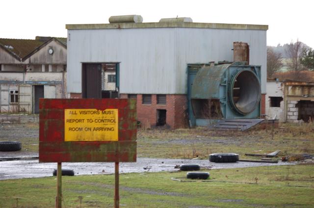
Burrowine Belt Images

Images are sourced within 2km of 56.089054/-3.6558454 or Grid Reference NS9789. Thanks to Geograph Open Source API. All images are credited.

A907 towards Dunfermline
Rough field near the border Long unkempt grassland near the old railway line on the Clackmannan/Fife border.
Rough field near the border
Long unkempt grassland near the old railway line on the Clackmannan/Fife border.
West Fife Cycleway, Bogside
West Fife Cycleway
West Fife Cycleway
Accommodation bridge, Whitehall Farm
Road into Devilla Forest, Bogside
View from the trackbed, Bogside
View from Peat Hill, Devilla
West Fife Cycleway, Devilla turn off. The cycleway is very popular and forms part of an extensive network around Fife.
West Fife Cycleway, Devilla turn off.
The cycleway is very popular and forms part of an extensive network around Fife.
Disused signal box at the site of Bogside Station An interesting surviving relic from the railway along the West Fife Cycleway.
Disused signal box at the site of Bogside Station
An interesting surviving relic from the railway along the West Fife Cycleway.
Farm Bogside Farm with sand quarry structure on the horizon.
Farm
Bogside Farm with sand quarry structure on the horizon.
Tractor Tractor and trailer leaving Bogside Farm.
Tractor
Tractor and trailer leaving Bogside Farm.
Access Road This is a view of the access road to Devilla Sand Quarry.
Access Road
This is a view of the access road to Devilla Sand Quarry.
Woodland Mixed woodland at Doo Craig Plantation.
Woodland
Mixed woodland at Doo Craig Plantation.
Sand  Quarry Devilla Sand Quarry seen from Latchie How.
Sand Quarry
Devilla Sand Quarry seen from Latchie How.
Bogside Mine Bogside Mine was opened in 1959 to supply coal to fire  Kincardine power station. In the 1960s its miners were regular holders of several national production records e.g. over 3000 tons per day! Like many other coalmines it was closed down in 1985 after the disastrous strike of the previous year.This picture shows some of what remains.
Bogside Mine
Bogside Mine was opened in 1959 to supply coal to fire Kincardine power station. In the 1960s its miners were regular holders of several national production records e.g. over 3000 tons per day! Like many other coalmines it was closed down in 1985 after the disastrous strike of the previous year.This picture shows some of what remains.
Road, Bogside Station Road by the site of Bogside Station. The road runs to Devilla Forest.
Road, Bogside Station
Road by the site of Bogside Station. The road runs to Devilla Forest.
Show me another place!

Burrowine Belt is located at Grid Ref: NS9789 (Lat: 56.089054, Lng: -3.6558454)

Unitary Authority: Fife

Police Authority: Fife

What 3 Words

///slams.gratitude.stiffly. Near High Valleyfield, Fife

Related Wikis

Bogside (Fife) railway station

Bogside (Fife) railway station served the hamlet of Bogside, Fife, Scotland from 1850 to 1958 on the Stirling and Dunfermline Railway. == History == The...

Balgownie Wood

Balgownie Wood is a woodland in West Fife, Scotland, south of the village of Blairhall and east of Balgownie Mains. The woods used to belong to nearby...

Brucefield House

Brucefield is an 18th-century country house in Clackmannanshire, Scotland. It is located 4 kilometres (2.5 mi) east of Clackmannan. The house was largely...

East Grange (Fife) railway station

East Grange railway station served the area of East Grange, Fife, Scotland, from 1850 to 1958 on the Stirling and Dunfermline Railway. == History == The...

Blairhall

Blairhall is a village in West Fife, Scotland. It is situated 1.1 miles (1.77 km) west of Comrie, and 6.7 miles (10.783 km) west of Dunfermline. The village...

Tulliallan Castle

Tulliallan Castle is a large house in Kincardine, Fife, Scotland. It is the second structure to have the name, and is a mixture of Gothic and Italian style...

Dunimarle Castle

Dunimarle Castle is located 1 km west of the centre of the village of Culross in Fife, Scotland. The name 'Dunimarle' means 'castle by the sea', although...

Culross Abbey

Culross Abbey is a former Cistercian abbey in Culross, Scotland, headed by the Abbot or Commendator of Culross. Part of it is still used as the local parish...

Nearby Amenities

Located within 500m of 56.089054,-3.6558454
Material: wood
Power: pole
Lat/Long: 56.087818/-3.6627271
Material: wood
Power: pole
Lat/Long: 56.0854525/-3.658343
Material: wood
Power: pole
Lat/Long: 56.0860963/-3.6595493
Material: wood
Power: pole
Lat/Long: 56.0866811/-3.6606283
Material: wood
Power: pole
Lat/Long: 56.0872291/-3.6616604
Material: wood
Power: pole
Lat/Long: 56.0848431/-3.6571898
Fort
Historic: archaeological_site
Lat/Long: 56.0909399/-3.6552921
Bogside
Historic Railway: station
Railway: site
Wikidata: Q79805947
Wikipedia: en:Bogside (Fife) railway station
Lat/Long: 56.0928249/-3.6536033
Bogside Railway Signal Box
Historic: railway_station
Lat/Long: 56.0923595/-3.6522631
Material: wood
Power: pole
Lat/Long: 56.0925589/-3.6592188
Material: wood
Power: pole
Lat/Long: 56.0921015/-3.6581019
Material: wood
Power: pole
Lat/Long: 56.0915764/-3.65847
Power: pole
Lat/Long: 56.0910676/-3.6588172
Power: pole
Lat/Long: 56.0903616/-3.6593276
Material: wood
Power: pole
Lat/Long: 56.0898879/-3.6596393
Material: wood
Power: pole
Lat/Long: 56.0893149/-3.6600472
Material: wood
Power: pole
Lat/Long: 56.0895249/-3.6638332
Material: wood
Power: pole
Lat/Long: 56.0894491/-3.6626096
Material: wood
Power: pole
Lat/Long: 56.0893767/-3.6612959
Material: wood
Power: pole
Lat/Long: 56.0892437/-3.6586122
Material: wood
Power: pole
Lat/Long: 56.0891888/-3.6573907
Material: wood
Power: pole
Lat/Long: 56.0891223/-3.6561461
Material: wood
Power: pole
Lat/Long: 56.0892775/-3.6552696
Material: wood
Power: pole
Lat/Long: 56.0894771/-3.6541568
Material: wood
Power: pole
Lat/Long: 56.0896591/-3.6530796
Material: wood
Power: pole
Lat/Long: 56.0898138/-3.6522366
Material: wood
Power: pole
Lat/Long: 56.0900133/-3.6510475
Material: wood
Power: pole
Lat/Long: 56.0902082/-3.6499346
Material: wood
Power: pole
Lat/Long: 56.0904089/-3.6488135
Material: wood
Power: pole
Lat/Long: 56.0904322/-3.6486524
Material: wood
Power: pole
Lat/Long: 56.0889694/-3.6533452
Material: wood
Power: pole
Lat/Long: 56.0884816/-3.6524855
Material: wood
Power: pole
Lat/Long: 56.087869/-3.6516614
Material: wood
Power: pole
Lat/Long: 56.0872458/-3.6508477
Material: wood
Power: pole
Lat/Long: 56.0869201/-3.6503875
Power: pole
Lat/Long: 56.0861557/-3.6504649
Material: wood
Power: pole
Lat/Long: 56.0874115/-3.6494274
Power: pole
Lat/Long: 56.0866599/-3.6495947
Power: pole
Lat/Long: 56.0852244/-3.652906
Material: wood
Power: pole
Lat/Long: 56.0852501/-3.654092
Material: wood
Power: pole
Lat/Long: 56.0853049/-3.6552738
Material: wood
Power: pole
Lat/Long: 56.0928297/-3.6530221
Material: wood
Power: pole
Lat/Long: 56.0923594/-3.6518988
Material: wood
Power: pole
Lat/Long: 56.092154/-3.6513675
Material: wood
Power: pole
Lat/Long: 56.0917958/-3.6503927
Material: wood
Power: pole
Lat/Long: 56.0914457/-3.6494159
Material: wood
Power: pole
Lat/Long: 56.092154/-3.6513675
Material: wood
Power: pole
Lat/Long: 56.092154/-3.6513675
Bench
Backrest: no
Material: wood
Lat/Long: 56.092211/-3.6518356
The data included in this document is from www.openstreetmap.org. The data is made available under ODbL.

Have you been to Burrowine Belt?

Leave your review of Burrowine Belt below (or comments, questions and feedback).