Coney Knowes Plantation
Wood, Forest in Lanarkshire
Scotland
Coney Knowes Plantation
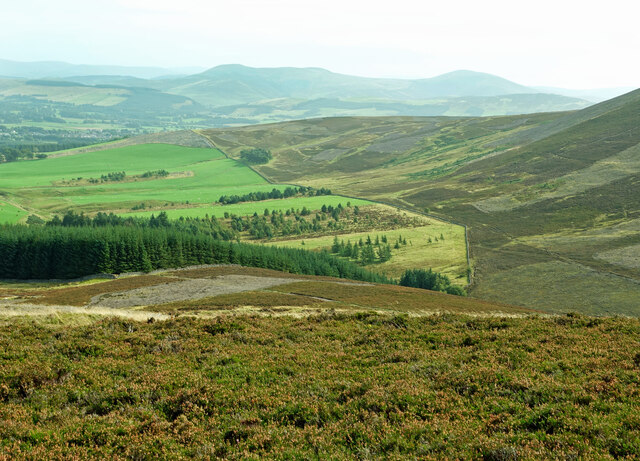
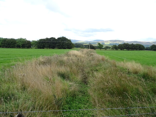
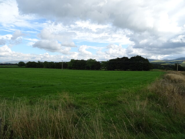
Coney Knowes Plantation is a picturesque wood located in the county of Lanarkshire, Scotland. Spread across an area of approximately 500 acres, it is situated near the village of Crawfordjohn, just a short distance from the M74 motorway.
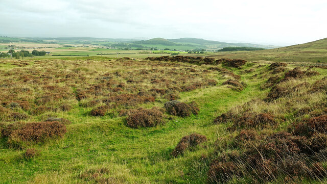
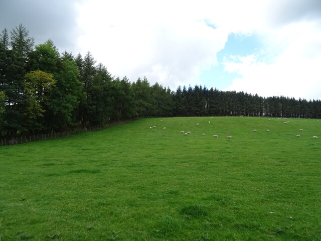
The plantation is renowned for its diverse and thriving ecosystem, consisting of a variety of tree species, including oak, birch, and pine. The wood is characterized by its dense vegetation, providing shelter and habitat for numerous wildlife species, such as deer, squirrels, and various bird species.
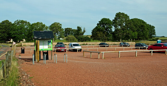
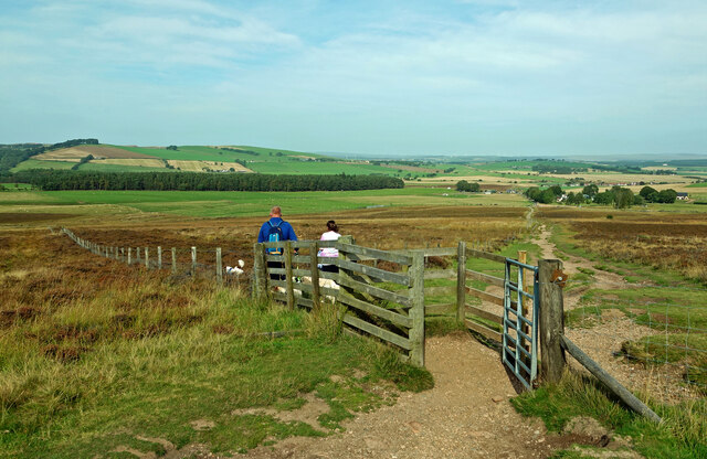
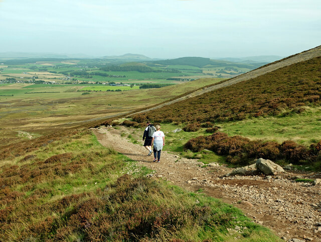
Visitors to Coney Knowes Plantation can enjoy a peaceful and tranquil environment, ideal for leisurely walks and nature exploration. The extensive network of well-maintained trails allows visitors to venture deep into the heart of the wood, offering stunning views and opportunities for wildlife spotting.
The wood also boasts a small freshwater stream that meanders through its heart, adding to its natural charm and providing a habitat for aquatic life. The babbling sound of the stream further enhances the sense of serenity and offers a soothing backdrop to the wood's ambiance.
Coney Knowes Plantation is a popular destination for nature enthusiasts, photographers, and those seeking a break from the hustle and bustle of everyday life. Its accessibility, natural beauty, and peaceful surroundings make it an idyllic spot to connect with nature and experience the tranquility of the Scottish countryside.
If you have any feedback on the listing, please let us know in the comments section below.
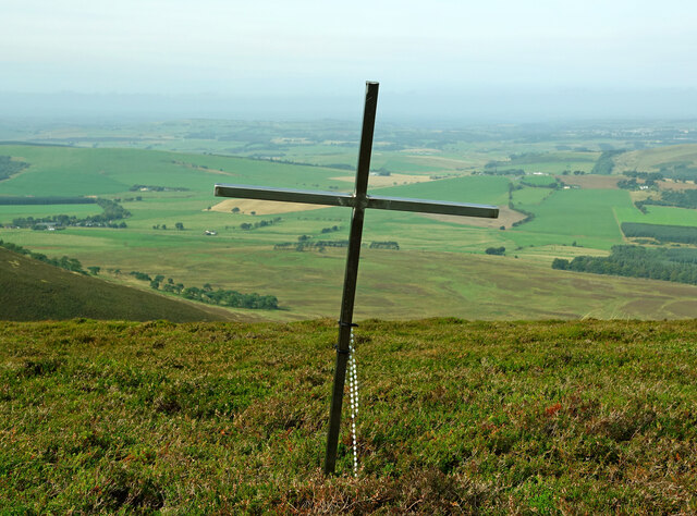
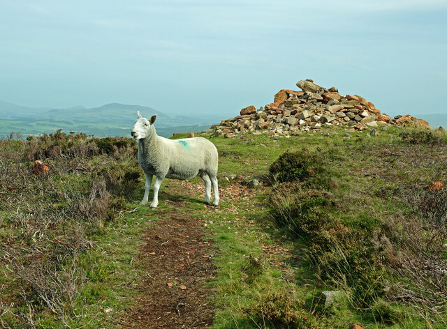
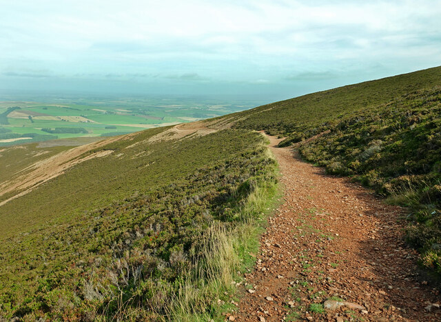
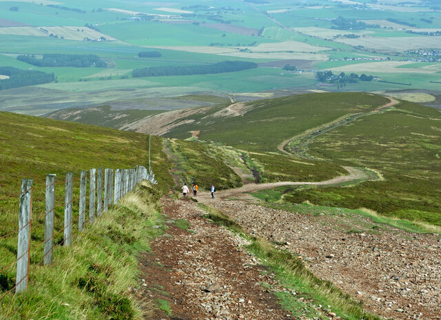
Coney Knowes Plantation Images
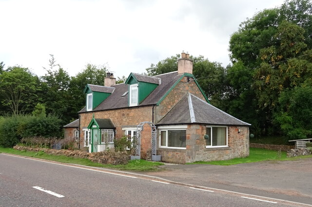
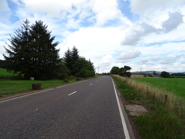
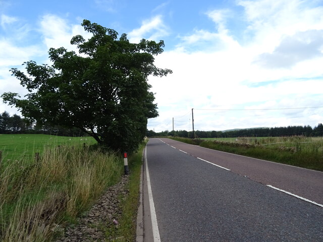
Images are sourced within 2km of 55.602854/-3.6402814 or Grid Reference NS9635. Thanks to Geograph Open Source API. All images are credited.


Coney Knowes Plantation is located at Grid Ref: NS9635 (Lat: 55.602854, Lng: -3.6402814)
Unitary Authority: South Lanarkshire
Police Authority: Lanarkshire
What 3 Words
///converged.bullion.property. Near Biggar, South Lanarkshire
Nearby Locations
Related Wikis

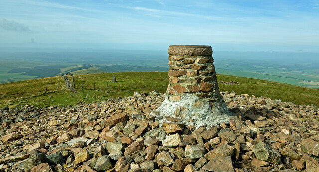
Tinto
Tinto is an isolated hill in the Southern Uplands of Scotland. It comprises little more than one top, which stands on the west bank of the River Clyde...

Symington railway station
Symington railway station served the village of Symington in Scotland between 1848 and 1965. It was on the main line of the Caledonian Railway and for...
Thankerton railway station
Thankerton railway station served the village of Thankerton, South Lanarkshire, Scotland, from 1848 to 1965 on the Caledonian main line. == History... ==

Thankerton
Thankerton is a small village in South Lanarkshire, Scotland, United Kingdom. It is located between Biggar and Lanark, and situated between Quothquan Law...
Have you been to Coney Knowes Plantation?
Leave your review of Coney Knowes Plantation below (or comments, questions and feedback).