Craighead Wood
Wood, Forest in Nairnshire
Scotland
Craighead Wood
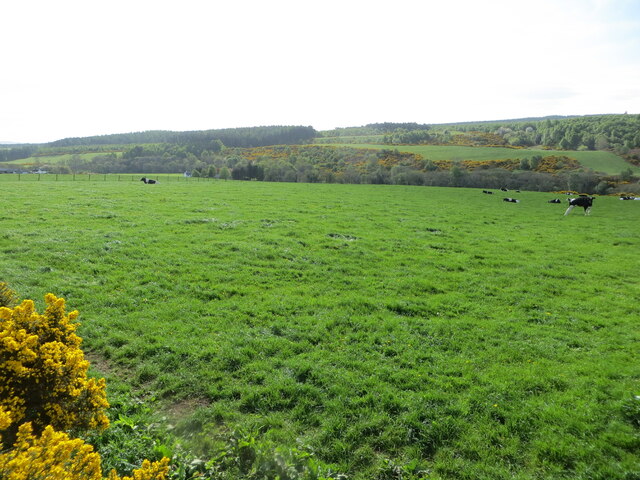
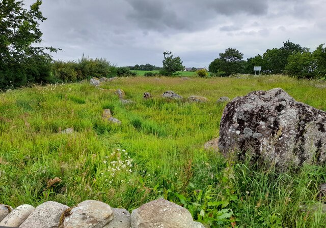
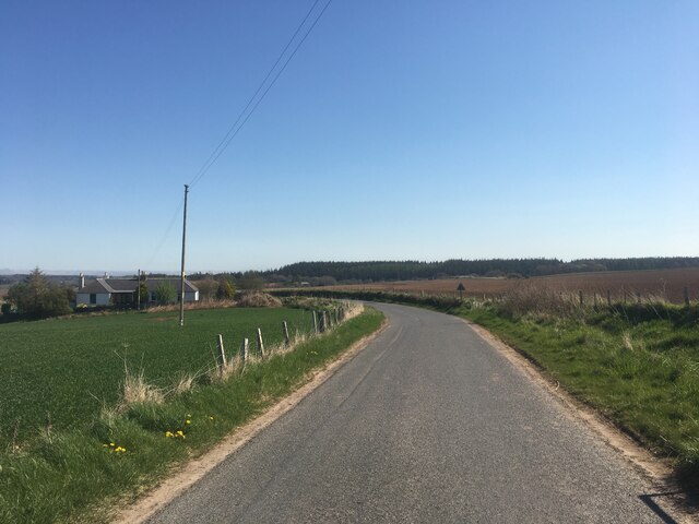
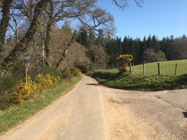
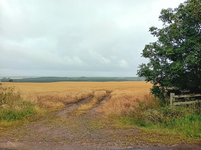
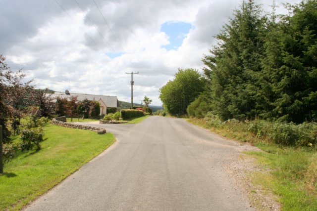
Craighead Wood is a picturesque woodland located in Nairnshire, Scotland. Situated just a few miles from the town of Nairn, this tranquil forest covers an area of approximately 200 acres. It is a popular destination for nature enthusiasts, walkers, and families looking to explore the great outdoors.
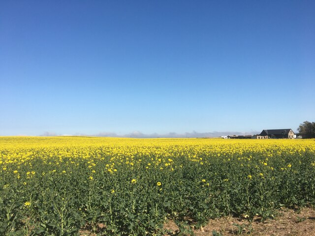
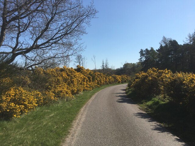
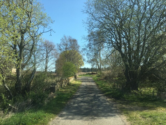
The wood is characterized by its diverse range of tree species, including oak, birch, Scots pine, and beech. These towering trees create a dense canopy that provides a habitat for a variety of wildlife, such as red squirrels, roe deer, and numerous bird species. The woodland floor is covered with a rich carpet of ferns, bluebells, and wildflowers, adding to the enchanting atmosphere.
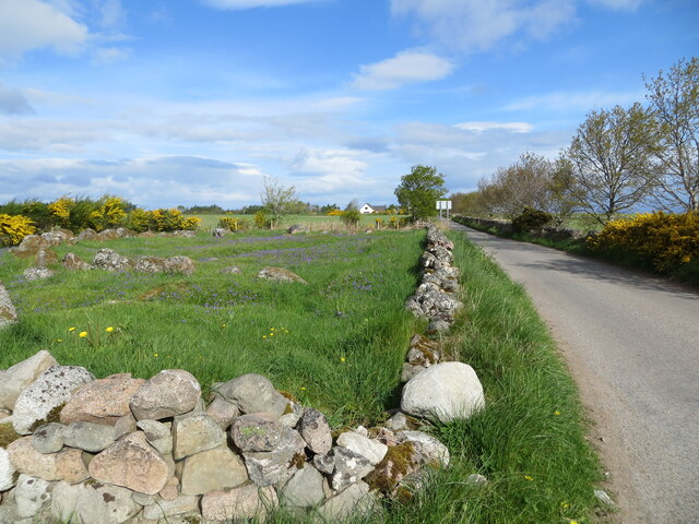
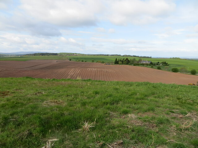
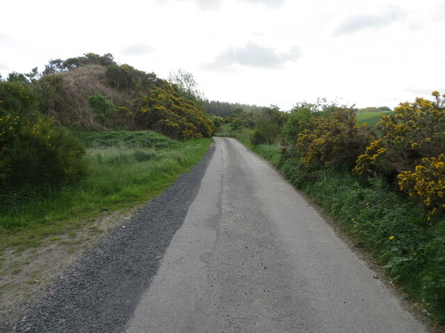
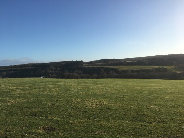
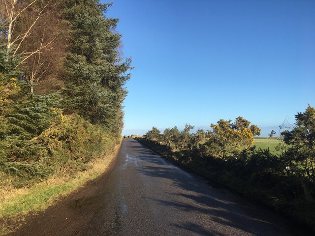
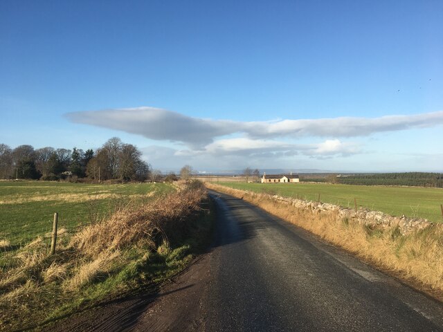
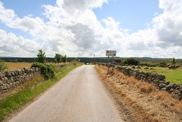
Several well-maintained trails wind through the forest, allowing visitors to discover its hidden treasures. These paths cater to different abilities and interests, offering options for leisurely strolls or more challenging hikes. Along the way, visitors can enjoy breathtaking views of the surrounding countryside, including the nearby Moray Firth.
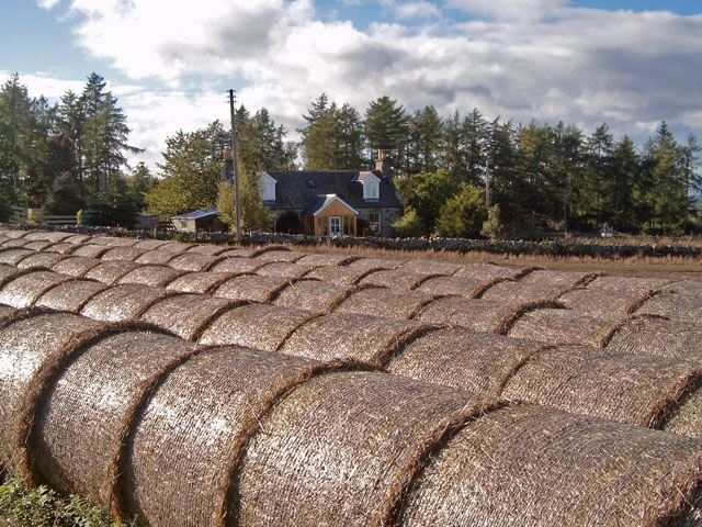
Craighead Wood also boasts a small loch, known as Loch Craighead. This serene body of water adds to the beauty of the woodland and provides an opportunity for fishing and birdwatching. Additionally, there are picnic areas scattered throughout the wood, providing a perfect spot for visitors to relax, have a meal, and enjoy the peaceful surroundings.
Overall, Craighead Wood offers a delightful escape from the hustle and bustle of everyday life, providing a haven of tranquility and natural beauty for all who visit.
If you have any feedback on the listing, please let us know in the comments section below.
Craighead Wood Images
Images are sourced within 2km of 57.559207/-3.7319602 or Grid Reference NH9653. Thanks to Geograph Open Source API. All images are credited.
Craighead Wood is located at Grid Ref: NH9653 (Lat: 57.559207, Lng: -3.7319602)
Unitary Authority: Highland
Police Authority: Highlands and Islands
What 3 Words
///goodbyes.ghosts.crunches. Near Forres, Moray
Nearby Locations
Related Wikis

Darnaway Castle
Darnaway Castle, also known as Tarnaway Castle, is located in Darnaway Forest, 3 miles (4.8 km) southwest of Forres in Moray, Scotland. This was Comyn...

Brightmony House
Brightmony House is an 18th-century manor house located south of Auldearn, Highland in Scotland. It is a Category A listed building == History == The property...
Kinsteary House
Kinsteary House is a manor house and site of a possible castle located south of Auldearn, Highland in Scotland. == History == The property passed by marriage...
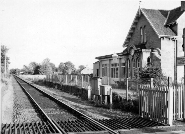
Brodie railway station
Brodie railway station served the area of Brodie, Moray, Scotland from 1857 to 1965 on the Inverness and Aberdeen Junction Railway. == History == The station...

Littlemill
Littlemill is a village located close to Nairn in Nairnshire, Scottish Highlands and is in the Scottish council area of Highland. == References ==

Rodney's Stone
Rodney's Stone is a two-metre high Pictish cross slab now located close on the approach way to Brodie Castle, near Forres, Moray, Scotland. It was originally...

Randolph's Leap
Randolph's Leap is an SSSI and area of countryside in Moray, Scotland. The area surrounds the River Findhorn and is actually named after the point at the...
Regoul
Regoul is a small rural hamlet, located 4.5 miles south of Nairn, in Nairnshire, Scottish Highlands and is in the Scottish council area of Highland....
Nearby Amenities
Located within 500m of 57.559207,-3.7319602Have you been to Craighead Wood?
Leave your review of Craighead Wood below (or comments, questions and feedback).