Hospital Wood
Wood, Forest in Dumfriesshire
Scotland
Hospital Wood

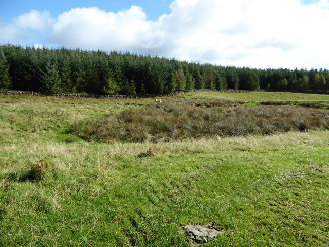
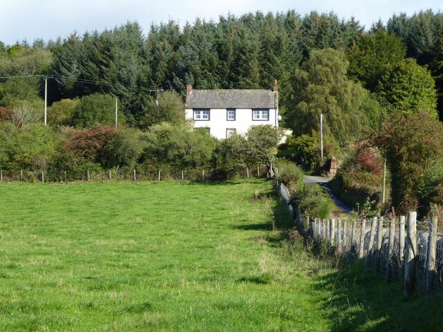
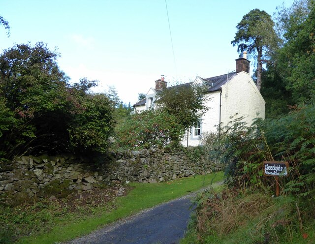
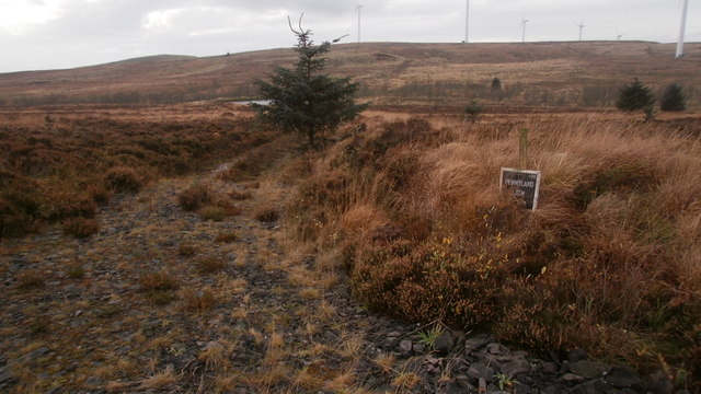
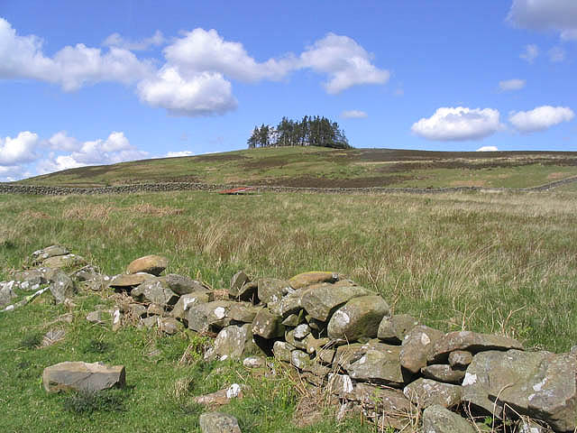
Hospital Wood is a picturesque forest located in Dumfriesshire, Scotland. Spread across a vast area, this wood is renowned for its natural beauty and rich biodiversity. It is situated near the town of Thornhill and is easily accessible to visitors.
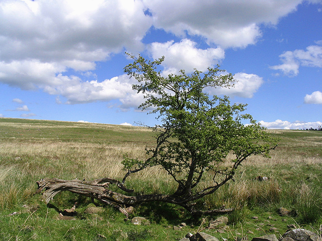
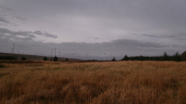
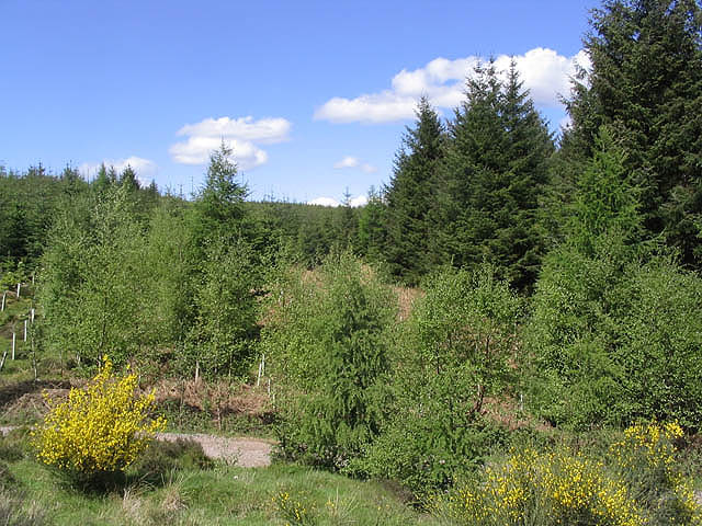
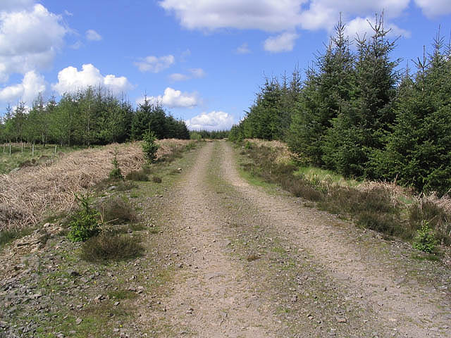
The wood is characterized by its dense canopy of trees, predominantly oak and beech, which creates a serene and tranquil atmosphere. The forest floor is covered with a lush carpet of ferns and wildflowers, adding to its charm. The trees in Hospital Wood are well-preserved and have been standing for centuries, providing a habitat for various species of birds, mammals, and insects.
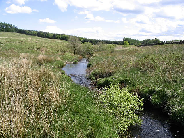
Walking through the wood, visitors can experience the calming effect of nature, with the gentle rustling of leaves and the chirping of birds serving as a soothing soundtrack. The wood is home to a variety of wildlife, including red squirrels, roe deer, and various species of birds such as woodpeckers and owls. Birdwatchers often flock to Hospital Wood to catch a glimpse of these magnificent creatures in their natural habitat.
For nature enthusiasts, Hospital Wood offers numerous walking trails and paths, allowing visitors to explore the forest at their own pace. These trails provide opportunities to immerse oneself in the beauty of the wood, with breathtaking views and hidden spots waiting to be discovered.
Overall, Hospital Wood in Dumfriesshire is a haven for nature lovers and offers a serene escape from the hustle and bustle of everyday life. With its stunning landscapes, diverse wildlife, and peaceful ambiance, it is a must-visit destination for anyone seeking solace in nature.
If you have any feedback on the listing, please let us know in the comments section below.
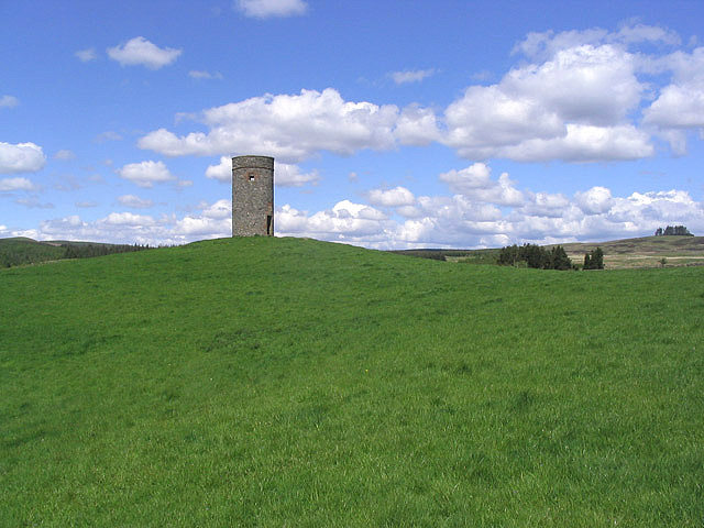
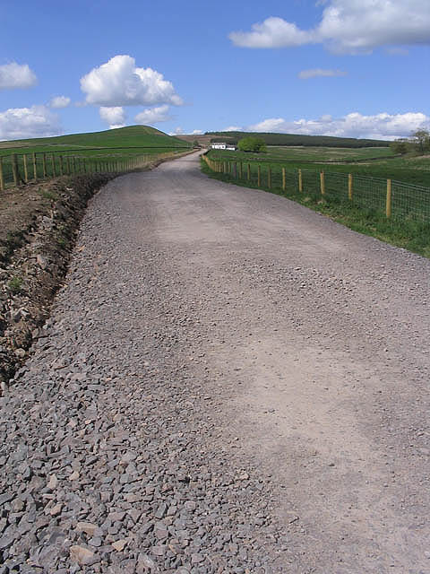
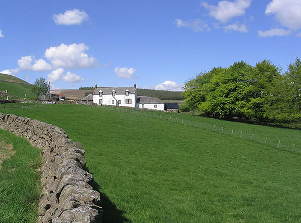
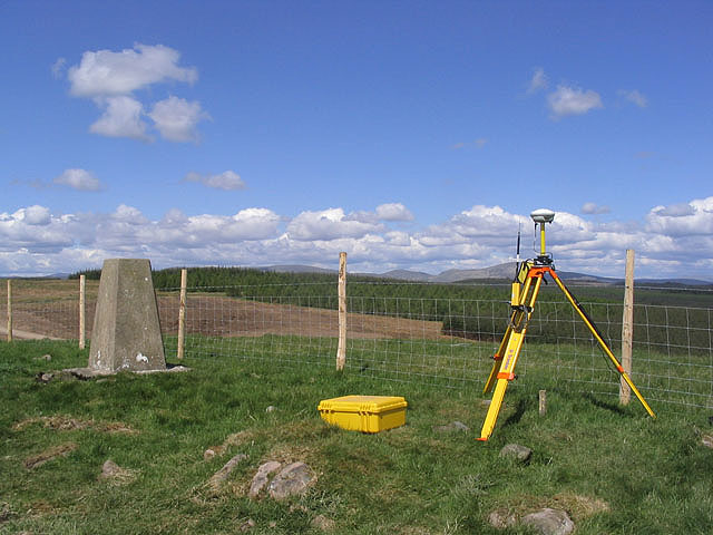
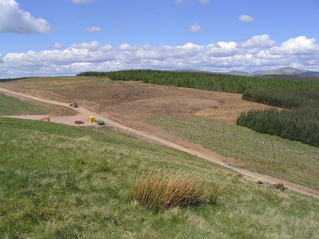
Hospital Wood Images
Images are sourced within 2km of 55.168794/-3.6450627 or Grid Reference NX9587. Thanks to Geograph Open Source API. All images are credited.
Hospital Wood is located at Grid Ref: NX9587 (Lat: 55.168794, Lng: -3.6450627)
Unitary Authority: Dumfries and Galloway
Police Authority: Dumfries and Galloway
What 3 Words
///princely.boil.contracting. Near Locharbriggs, Dumfries & Galloway
Nearby Locations
Related Wikis

Dalswinton
Dalswinton is a small village in the historical county of Dumfriesshire in Dumfries and Galloway in the south of Scotland. It is located about six miles...

Dalswinton Castle
Dalswinton Castle, also known as Comyn's Castle, was a castle that was located to the south-east of Dalswinton, in Dumfries and Galloway, Scotland.A castle...

Friars Carse
Friars' Carse is a mansion house and estate situated (NX 926 850) 2 kilometres (1.2 mi) southeast of Auldgirth on the main road (A76) to Dumfries, Parish...
Ae, Dumfries and Galloway
Ae (pronounced ) is a village in Dumfries and Galloway, south west Scotland. The village is located on the edge of a 15,000-acre (61 km2) human-made conifer...

Auldgirth railway station
Auldgirth railway station was a station which served Auldgirth, in the Scottish county of Dumfries and Galloway. It was served by trains on what is now...

The Hermitage, Friars Carse
The Hermitage was a folly first built by Captain Robert Riddell of Friars Carse (known as Glenriddell at this time and later returned to its ancient name...

Duncow
Duncow is a small settlement in the civil parish of Kirkmahoe, Dumfries and Galloway, Scotland. Located in the geographical centre of the parish, Duncow...

Ellisland Farm
Ellisland Farm lies about 6.5 mi/10.4 km northwest of Dumfries near the village of Auldgirth, located in the Parish of Dunscore, Dumfries and Galloway...
Nearby Amenities
Located within 500m of 55.168794,-3.6450627Have you been to Hospital Wood?
Leave your review of Hospital Wood below (or comments, questions and feedback).