Muir Wood
Wood, Forest in Stirlingshire
Scotland
Muir Wood
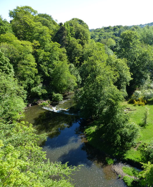
Muir Wood is a picturesque forest located in Stirlingshire, Scotland. Covering an area of approximately 500 acres, it is a popular destination for nature enthusiasts and outdoor adventurers.
The forest is characterized by its dense woodland, consisting mainly of native trees such as oak, birch, and Scots pine. These towering trees create a beautiful canopy that provides shade and shelter for a variety of wildlife, including red squirrels, roe deer, and a multitude of bird species.
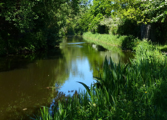
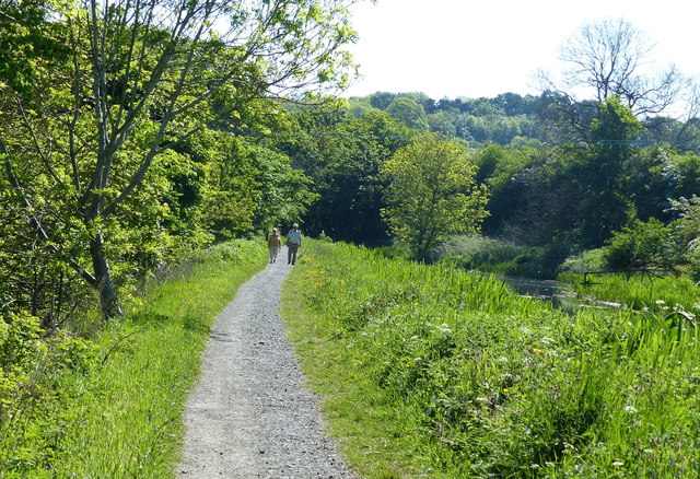
Muir Wood offers a network of well-maintained walking trails, making it an ideal place for hikers and walkers of all levels. The trails meander through the forest, leading visitors past serene ponds, babbling brooks, and open clearings where wildflowers bloom in abundance during the warmer months.
One of the highlights of Muir Wood is the ancient Muir Wood Oak, a magnificent tree estimated to be over 500 years old. This ancient oak stands as a testament to the rich history and longevity of the forest.
The forest is also home to a diverse range of plant species, including rare orchids and ferns. These botanical treasures add to the enchanting atmosphere of the woodland, creating a haven for nature lovers and botanists alike.
Muir Wood offers a peaceful retreat from the hustle and bustle of everyday life, allowing visitors to immerse themselves in the tranquility of nature. Whether it's an invigorating hike or a leisurely stroll, Muir Wood offers a truly rejuvenating experience for all who venture into its embrace.
If you have any feedback on the listing, please let us know in the comments section below.
Muir Wood Images
Images are sourced within 2km of 55.96604/-3.6807237 or Grid Reference NS9576. Thanks to Geograph Open Source API. All images are credited.


Muir Wood is located at Grid Ref: NS9576 (Lat: 55.96604, Lng: -3.6807237)
Unitary Authority: Falkirk
Police Authority: Forth Valley
What 3 Words
///tricks.goal.fits. Near Maddiston, Falkirk
Nearby Locations
Related Wikis
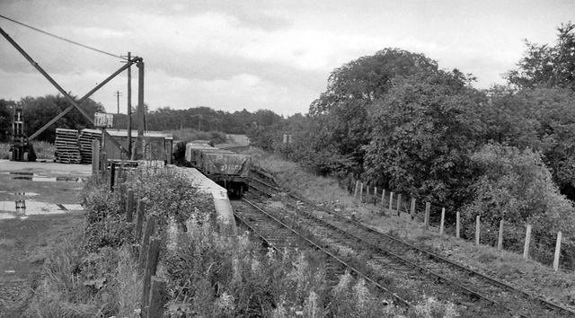
Bowhouse railway station
Bowhouse railway station served the suburb of Bowhouse, Falkirk, Scotland, from the 1840s to 1964 on the Slamannan Railway. == History == The station was...

Maddiston
Maddiston is a village in the Falkirk council area of Scotland. It lies 3.8 miles (6.1 km) west-southwest of Linlithgow, 1.3 miles (2.1 km) south of Polmont...
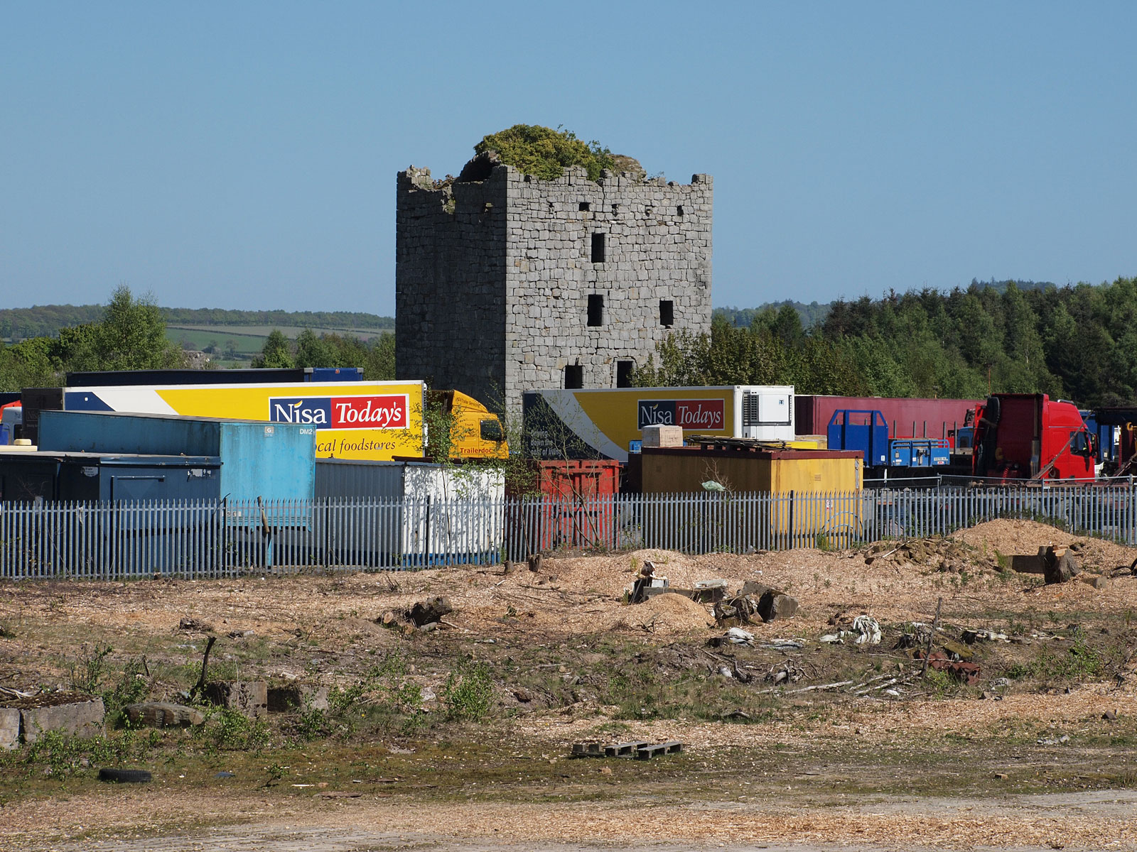
Almond Castle
Almond Castle is a ruined L-plan castle dating from the 15th century. It is located 3 miles (4.8 km) west of Linlithgow, and north of the Union Canal,...
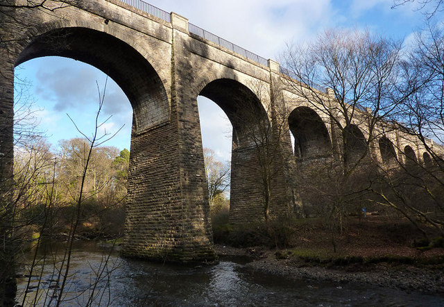
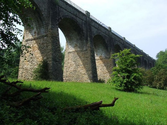
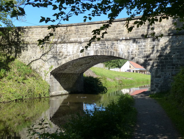
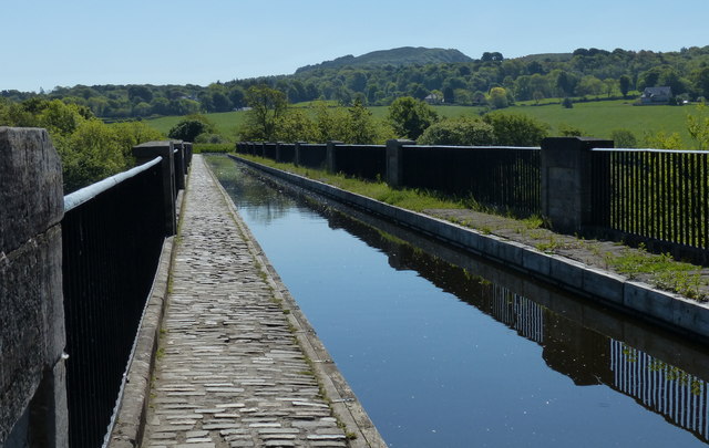
Avon Aqueduct
The Avon Aqueduct is a navigable aqueduct that carries the Union Canal over the River Avon, near Linlithgow, Scotland. == History == The aqueduct was built...

Muiravonside Country Park
Muiravonside Country Park is 170 acres of woodland and parkland open to the public all year round with marked trails, picnic sites and a play area. It...

Whitecross, Falkirk
Whitecross is a small village within the Falkirk council area, close to the boundary of West Lothian council in Scotland. It lies 2.0 miles (3.2 km) west...

Bo'ness Junction rail crash
Bo'ness Junction rail crash occurred at Bo'ness Junction in Falkirk.The junction lies on the Edinburgh and Glasgow Railway between Falkirk and Linlithgow...
Manuel Junction
Manuel Junction is a railway junction near the village of Whitecross, Falkirk, Scotland. It is the terminus of the Bo'ness and Kinneil Railway (operated...
Nearby Amenities
Located within 500m of 55.96604,-3.6807237Have you been to Muir Wood?
Leave your review of Muir Wood below (or comments, questions and feedback).