Garden Wood

Wood, Forest in Dumfriesshire

Scotland

Garden Wood

Dried up pond The pond is now filled with rushes.
The wood on the left is Tower Clump with Clonfeckle Tower in the distance.
Dried up pond Credit: Russel Wills

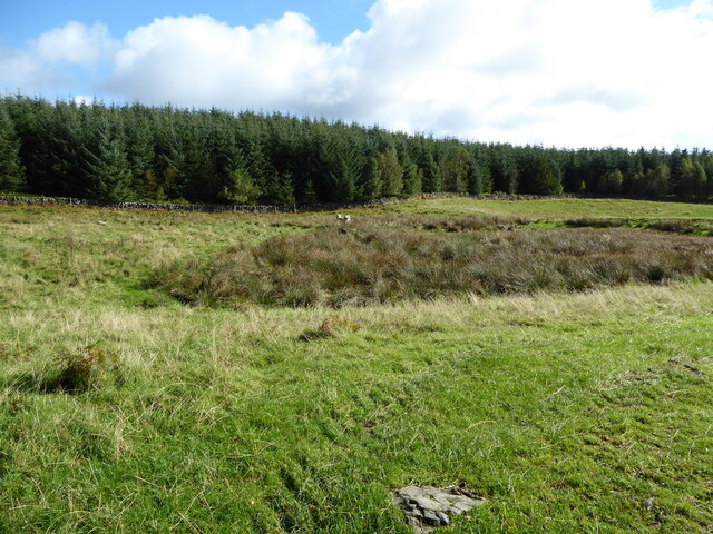
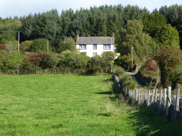
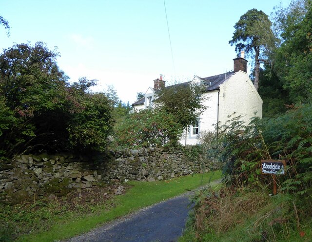
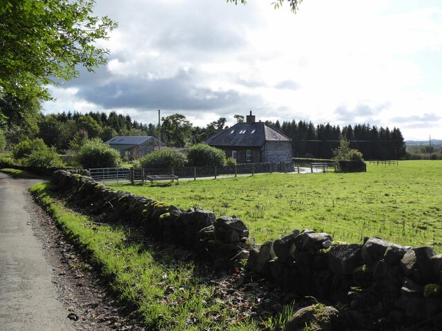
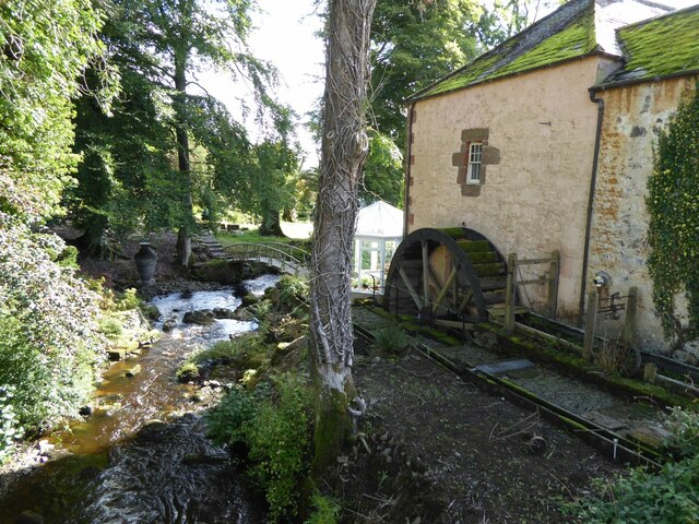
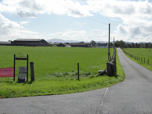
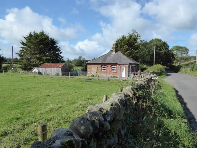
Garden Wood is a picturesque forest located in Dumfriesshire, Scotland. Stretching over a vast area of land, this enchanting woodland is a haven for nature lovers and outdoor enthusiasts. The forest is known for its diverse range of flora and fauna, making it a popular destination for wildlife enthusiasts and botanists alike.

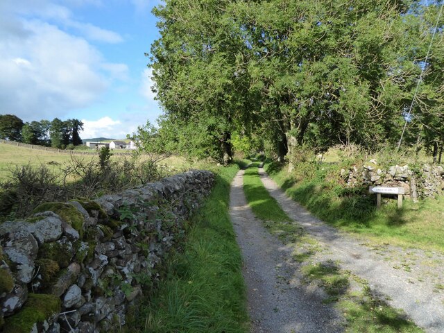
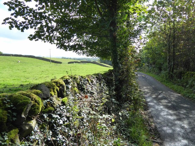
The wood is characterized by its dense tree cover, with a variety of species such as oak, birch, and pine dominating the landscape. The towering trees create a sense of tranquility and offer a cool respite on hot summer days. The forest floor is adorned with a carpet of vibrant wildflowers during the spring and summer months, adding bursts of color to the greenery.

Garden Wood is intersected by a network of well-maintained paths, allowing visitors to explore the forest and discover its hidden treasures. These paths lead to secluded spots, where one can enjoy a peaceful picnic or simply bask in the beauty of the surroundings.

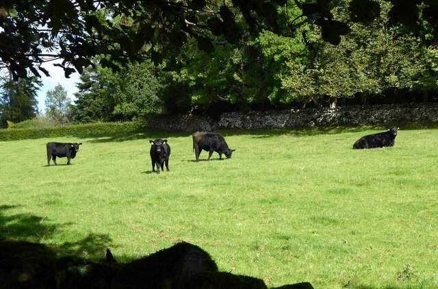
The forest is home to a diverse range of wildlife, including red squirrels, roe deer, and a variety of bird species. Birdwatchers flock to the wood in search of rare and migratory birds, while photographers capture the mesmerizing sights and sounds of the forest.

Garden Wood offers a range of recreational activities, catering to visitors of all ages. There are designated areas for camping and barbecues, making it an ideal spot for families and groups of friends to spend quality time in nature. The forest also provides opportunities for hiking, cycling, and horseback riding, with trails of varying lengths and difficulties.

In conclusion, Garden Wood in Dumfriesshire is a stunning forest that offers a wealth of natural beauty and recreational activities. Whether it's a peaceful walk through the woods, observing wildlife, or enjoying outdoor adventures, this woodland is a true gem for nature enthusiasts.

If you have any feedback on the listing, please let us know in the comments section below.
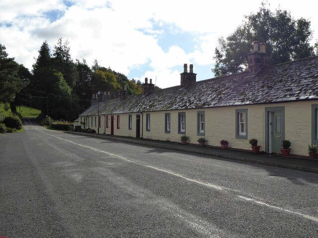
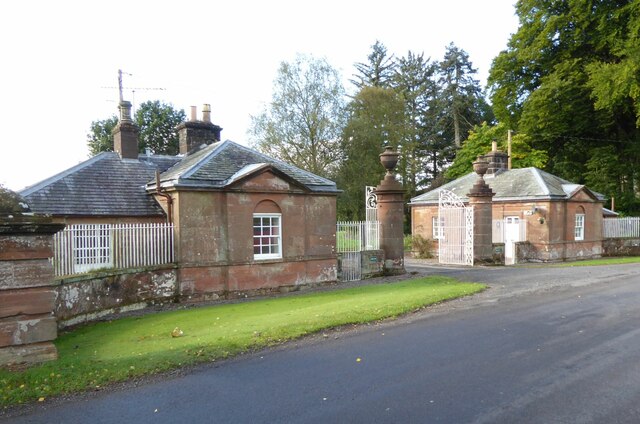
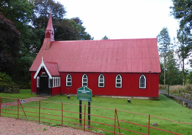
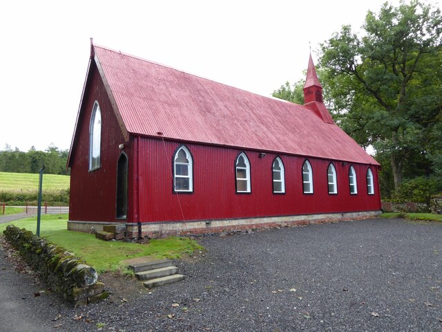
Garden Wood Images

Images are sourced within 2km of 55.143981/-3.657002 or Grid Reference NX9484. Thanks to Geograph Open Source API. All images are credited.

Dried up pond The pond is now filled with rushes.
The wood on the left is Tower Clump with Clonfeckle Tower in the distance.
Dried up pond
The pond is now filled with rushes. The wood on the left is Tower Clump with Clonfeckle Tower in the distance.
Former pond Now filled with rushes and no water!
The structure on the far side might be a hide for duck shooting.
Former pond
Now filled with rushes and no water! The structure on the far side might be a hide for duck shooting.
Foresters' Hall With fine views over Nithsdale.
Foresters' Hall
With fine views over Nithsdale.
Woodside On the edge of Dalswinton Wood.
Woodside
On the edge of Dalswinton Wood.
Newlands House and Tower Newlands was built in 1911 to replace a previous house, possibly on the site of “a castle, or fortlet, of great strength” according to one 1820s account, although the wartime owner Walter Duncan was unable to find evidence of that. He was convinced by a relative and a Norwegian whaling captain to let the house be used as a hospital for Norwegian personnel. He did so only on the condition that “it be returned in the same condition”, but according to one relative of Mr Duncan this was no problem since the Norwegian staff and patients were “very tidy and respectful”.  
<span class="nowrap"><a title="https://www.ournorwegianstory.com/story-related-to/the-story-about-newlands-house/" rel="nofollow ugc noopener" href="https://www.ournorwegianstory.com/story-related-to/the-story-about-newlands-house/">Link</a><img style="margin-left:2px;" alt="External link" title="External link - shift click to open in new window" src="https://s1.geograph.org.uk/img/external.png" width="10" height="10"/></span>
Newlands House and Tower
Newlands was built in 1911 to replace a previous house, possibly on the site of “a castle, or fortlet, of great strength” according to one 1820s account, although the wartime owner Walter Duncan was unable to find evidence of that. He was convinced by a relative and a Norwegian whaling captain to let the house be used as a hospital for Norwegian personnel. He did so only on the condition that “it be returned in the same condition”, but according to one relative of Mr Duncan this was no problem since the Norwegian staff and patients were “very tidy and respectful”. LinkExternal link
The River Nith The graded embankment on the far side of the river supports the Dumfries to Kilmarnock railway line.
The River Nith
The graded embankment on the far side of the river supports the Dumfries to Kilmarnock railway line.
Friars' Carse Hotel Viewed from the east when the rain stopped and the sun came out!
Friars' Carse Hotel
Viewed from the east when the rain stopped and the sun came out!
Cottages in Dalswinton On the road from Auldgirth to Duncow.
Cottages in Dalswinton
On the road from Auldgirth to Duncow.
Front Lodge To Dalswinton Old House and estate.
Front Lodge
To Dalswinton Old House and estate.
The Barony Church, Dalswinton 'The Barony Church was built in 1881 and came as a flat pack ordered from the same Catalogues that the missionaries would have used abroad to order their Churches from. The owner of Dalswinton Estate at the time. a Mrs McAlpine-Leny was unhappy with the larger Parish Church at Kirkton and so bought her own for Dalswinton. At the first service, 300 people attended and it soon became a focal point for the Estate workers and other tenants.'
<span class="nowrap"><a title="http://www.dalswintonestate.co.uk/content.php?name=church" rel="nofollow ugc noopener" href="http://www.dalswintonestate.co.uk/content.php?name=church">Link</a><img style="margin-left:2px;" alt="External link" title="External link - shift click to open in new window" src="https://s1.geograph.org.uk/img/external.png" width="10" height="10"/></span>
The Barony Church, Dalswinton
'The Barony Church was built in 1881 and came as a flat pack ordered from the same Catalogues that the missionaries would have used abroad to order their Churches from. The owner of Dalswinton Estate at the time. a Mrs McAlpine-Leny was unhappy with the larger Parish Church at Kirkton and so bought her own for Dalswinton. At the first service, 300 people attended and it soon became a focal point for the Estate workers and other tenants.' LinkExternal link
Dalwinton Barony Church  A corrugated iron building, aka the Tin Tabernacle, was built in 1881 and came as a flat pack ordered from the same Catalogues that the missionaries would have used abroad to order their Churches from. 
This might also account for the guy cables holding down the roof in gales as the missionaries needed in places like South America!
Dalwinton Barony Church
A corrugated iron building, aka the Tin Tabernacle, was built in 1881 and came as a flat pack ordered from the same Catalogues that the missionaries would have used abroad to order their Churches from. This might also account for the guy cables holding down the roof in gales as the missionaries needed in places like South America!
Crofthead Overlooking Pennyland Burn.
Crofthead
Overlooking Pennyland Burn.
Dalswinton Mill Using the Pennyland Burn.
Dalswinton Mill
Using the Pennyland Burn.
Road to Kerricks And free range eggs £1 for half a dozen, if you want them!
Criffel in the distance.
Road to Kerricks
And free range eggs £1 for half a dozen, if you want them! Criffel in the distance.
Foregirth Lodge Off the Auldgirth to Duncow road.
Foregirth Lodge
Off the Auldgirth to Duncow road.
Lane to Smithtown In Nithsdale.
Lane to Smithtown
In Nithsdale.
Country lane Near Neckbreak. (Curious name!)
Country lane
Near Neckbreak. (Curious name!)
Cattle in pasture By the Corner House, Newlands.
Cattle in pasture
By the Corner House, Newlands.
Show me another place!

Garden Wood is located at Grid Ref: NX9484 (Lat: 55.143981, Lng: -3.657002)

Unitary Authority: Dumfries and Galloway

Police Authority: Dumfries and Galloway

What 3 Words

///marine.steaming.keep. Near Locharbriggs, Dumfries & Galloway

Related Wikis

Dalswinton Castle

Dalswinton Castle, also known as Comyn's Castle, was a castle that was located to the south-east of Dalswinton, in Dumfries and Galloway, Scotland.A castle...

Dalswinton

Dalswinton is a small village in the historical county of Dumfriesshire in Dumfries and Galloway in the south of Scotland. It is located about six miles...

Ellisland Farm

Ellisland Farm lies about 6.5 mi/10.4 km northwest of Dumfries near the village of Auldgirth, located in the Parish of Dunscore, Dumfries and Galloway...

Garden of Cosmic Speculation

The Garden of Cosmic Speculation is a 30 acre (12 hectare) sculpture garden created by landscape architect and theorist Charles Jencks and his wife, Maggie...

The Hermitage, Friars Carse

The Hermitage was a folly first built by Captain Robert Riddell of Friars Carse (known as Glenriddell at this time and later returned to its ancient name...

Friars Carse

Friars' Carse is a mansion house and estate situated (NX 926 850) 2 kilometres (1.2 mi) southeast of Auldgirth on the main road (A76) to Dumfries, Parish...

Duncow

Duncow is a small settlement in the civil parish of Kirkmahoe, Dumfries and Galloway, Scotland. Located in the geographical centre of the parish, Duncow...

Carse Loch

Carse Loch is situated (NX 926 849) in a low-lying area, surrounded by woodland, close to the A76 at Friar's Carse, in Dumfries and Galloway, Parish of...

Nearby Amenities

Located within 500m of 55.143981,-3.657002
Bus Stop
Douganstyle
Naptan AtcoCode: 680000708111
Naptan Bearing: NW
Naptan BusStopType: CUS
Naptan CommonName: Douganstyle
Naptan Indicator: opp Post Box
Naptan Landmark: Douganstyle
Naptan NaptanCode: 34232726
Naptan Notes: none
Naptan Street: C11
Naptan Verified: no
Source: naptan_import
Lat/Long: 55.1464861/-3.659191
Bus Stop
Douganstyle
Naptan AtcoCode: 680000708222
Naptan Bearing: SE
Naptan BusStopType: CUS
Naptan CommonName: Douganstyle
Naptan Indicator: at Post Box
Naptan Landmark: Douganstyle
Naptan NaptanCode: 34232727
Naptan Notes: none
Naptan Street: C11
Naptan Verified: no
Source: naptan_import
Lat/Long: 55.1468446/-3.6592686
Post Box
Ref: DG2 144
Lat/Long: 55.1467526/-3.6592125
Power: pole
Lat/Long: 55.145879/-3.6523023
Power: pole
Lat/Long: 55.145413/-3.6508271
Power: pole
Lat/Long: 55.1449823/-3.6495236
Power: pole
Lat/Long: 55.1481828/-3.6590937
Power: pole
Lat/Long: 55.1475919/-3.6575447
Power: pole
Lat/Long: 55.1470163/-3.6557543
Power: pole
Lat/Long: 55.1464477/-3.6540431
Power: pole
Lat/Long: 55.1477858/-3.6534315
Power: pole
Lat/Long: 55.1405276/-3.660704
Power: pole
Lat/Long: 55.1426944/-3.663621
Power: pole
Lat/Long: 55.1477447/-3.6595775
Power: pole
Lat/Long: 55.1470851/-3.660354
Power: pole
Lat/Long: 55.1460183/-3.6603137
Power: pole
Lat/Long: 55.145349/-3.6607846
Power: pole
Lat/Long: 55.1446604/-3.6612853
Power: pole
Lat/Long: 55.1457309/-3.650118
Power: pole
Lat/Long: 55.1442942/-3.6518639
Power: pole
Lat/Long: 55.1437583/-3.6523964
Power: pole
Lat/Long: 55.1432576/-3.6532768
Power: pole
Lat/Long: 55.1431412/-3.6538729
The data included in this document is from www.openstreetmap.org. The data is made available under ODbL.

Have you been to Garden Wood?

Leave your review of Garden Wood below (or comments, questions and feedback).