Terraughtie Wood

Wood, Forest in Kirkcudbrightshire

Scotland

Terraughtie Wood

Entrance to a yard at Garroch Business Park
Entrance to a yard at Garroch Business Park Credit: Steven Brown

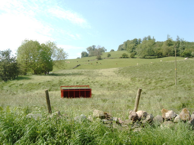
Terraughtie Wood is a picturesque woodland situated in the region of Kirkcudbrightshire, Scotland. Covering an area of approximately 100 hectares, it is a haven for nature enthusiasts and offers a tranquil escape from the bustling city life.

The wood is predominantly composed of native broadleaf trees, including oak, birch, and ash, which create a dense and vibrant canopy overhead. This diverse ecosystem provides a habitat for numerous species of flora and fauna, making it a popular destination for birdwatchers and wildlife enthusiasts. Visitors may spot woodland birds such as woodpeckers, jays, and thrushes, as well as the elusive red squirrel.

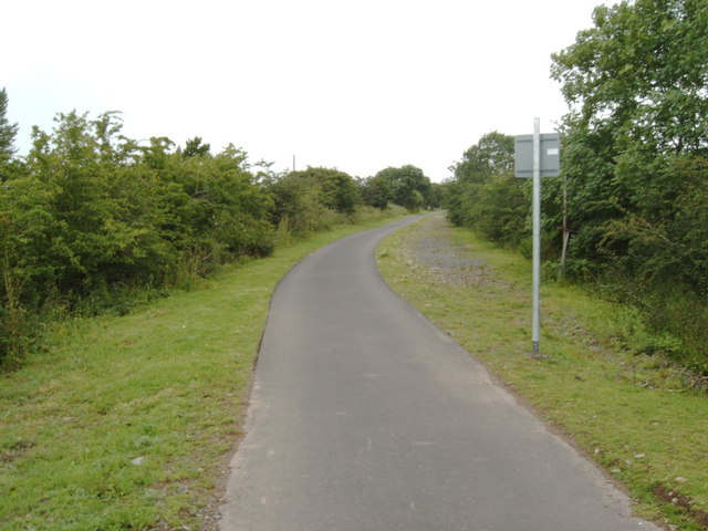
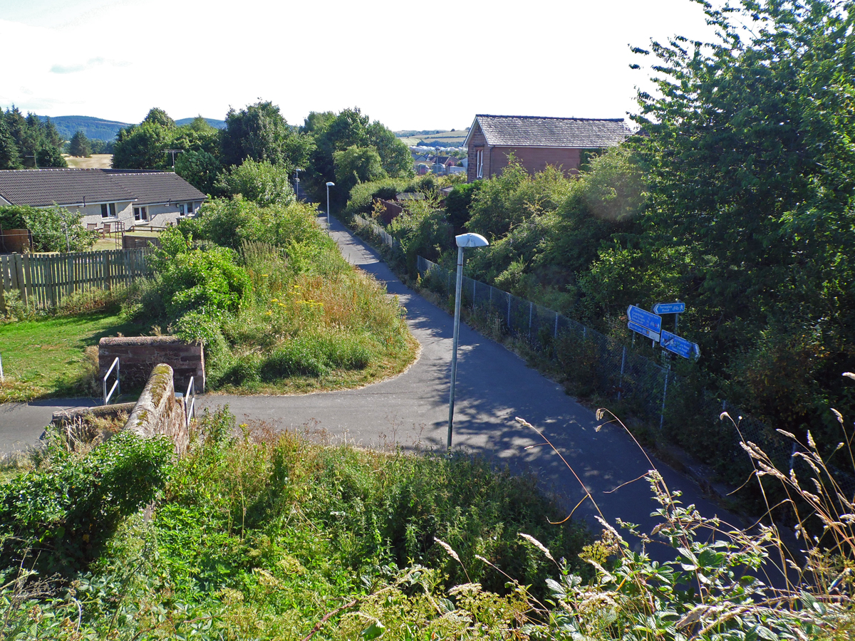
The wood is intersected by several paths, allowing visitors to explore its beauty at their own pace. These paths wind through the towering trees, revealing hidden glades, bubbling streams, and picturesque waterfalls. The terrain is gentle and suitable for walkers of all ages and abilities.

Historically, Terraughtie Wood has been managed sustainably, with periodic tree thinning and selective felling to ensure the health and longevity of the woodland. This management approach has allowed the wood to maintain its natural beauty and ecological balance.

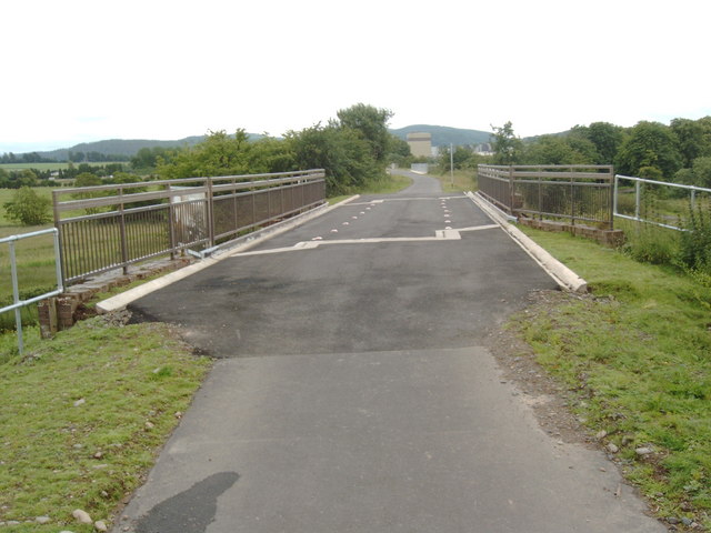
In addition to its natural features, Terraughtie Wood also offers recreational amenities, including picnic areas and benches, allowing visitors to relax and enjoy the tranquil surroundings. The wood is easily accessible by car, with ample parking available, and there are nearby facilities such as cafes and visitor centers.

Overall, Terraughtie Wood is a cherished natural gem in Kirkcudbrightshire, offering a serene escape to those seeking solace in nature's embrace.

If you have any feedback on the listing, please let us know in the comments section below.

Terraughtie Wood Images

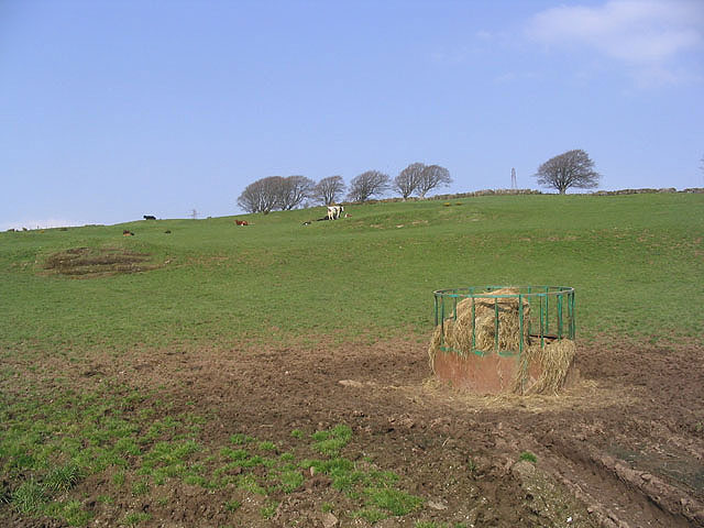
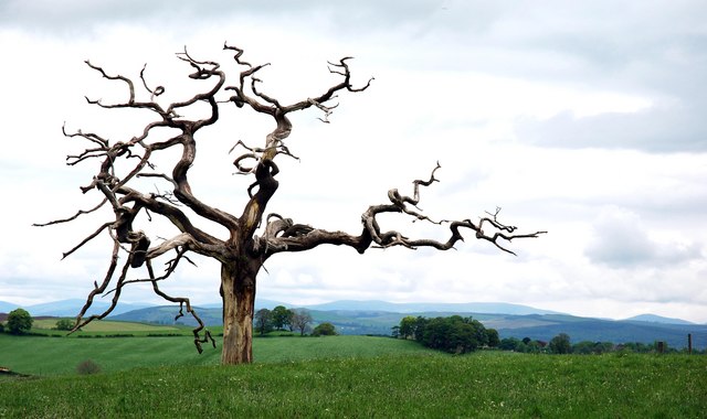
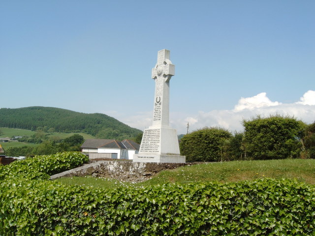
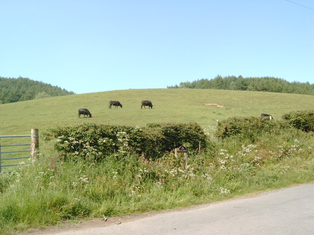
Images are sourced within 2km of 55.063133/-3.6654348 or Grid Reference NX9375. Thanks to Geograph Open Source API. All images are credited.

Entrance to a yard at Garroch Business Park
Access road to council depot at Cargenbridge
Tower at Chemical Plant This is the Dupont Teijin Films plant on the outskirts of Dumfries.  Formerly (years ago), it was an ICI plant.
Tower at Chemical Plant
This is the Dupont Teijin Films plant on the outskirts of Dumfries. Formerly (years ago), it was an ICI plant.
Rabbits near entrance to Chemical Plant
Tregallon Farm Viewed from the old military road.
Tregallon Farm
Viewed from the old military road.
Cattle field On West Hill near Tregallon Farm.
Cattle field
On West Hill near Tregallon Farm.
Twister Impressive lone tree - with view over towards Terregles.  Can be seen above from the A75 as you leave Dumfries heading towards Stranraer, locally known as "The Glen" road.
Twister
Impressive lone tree - with view over towards Terregles. Can be seen above from the A75 as you leave Dumfries heading towards Stranraer, locally known as "The Glen" road.
Terregles War Memorial
Cows in a field at the entrance to Braecroft, Terregles
Field on the side of Hoods Hill near Terregles
A75 Bridge
A75 Bridge
Old railway viaduct
Old railway viaduct
Maxwelltown Cycle Path, route no. 7 of the National Cycle Path Network It follows the route of a disused railway at this point.
Maxwelltown Cycle Path, route no. 7 of the National Cycle Path Network
It follows the route of a disused railway at this point.
Cargen Water seen from an old railway bridge, now a cycle path.
Cargen Water
seen from an old railway bridge, now a cycle path.
A780 to Maxwelltown seen from the old railway bridge, now cycle path
A780 to Maxwelltown
seen from the old railway bridge, now cycle path
Cycle path along the route of an old railway line
Old railway bridge = new cycle path bridge On the Maxwelltown Cycleway, no. 7 in the national cycleway network.  This bridge goes over the A780.
Old railway bridge = new cycle path bridge
On the Maxwelltown Cycleway, no. 7 in the national cycleway network. This bridge goes over the A780.
A75 bypass around Dumfries The A75 bypass was opened in 1990.
A75 bypass around Dumfries
The A75 bypass was opened in 1990.
Show me another place!

Terraughtie Wood is located at Grid Ref: NX9375 (Lat: 55.063133, Lng: -3.6654348)

Unitary Authority: Dumfries and Galloway

Police Authority: Dumfries and Galloway

What 3 Words

///hairstyle.paying.already. Near Dumfries, Dumfries & Galloway

Nearby Locations

Terraughtie Wood

Related Wikis

Dumfries and Galloway Royal Infirmary

Dumfries and Galloway Royal Infirmary is the main hospital in Dumfries and Galloway, Scotland. The hospital is managed by NHS Dumfries and Galloway....

Cargenbridge

Cargenbridge is a village located in Dumfries and Galloway, United Kingdom, southwest of Dumfries. It is in Troqueer parish, in the historic county of...

Terregles

Terregles () is a village and civil parish near Dumfries, in Dumfries and Galloway, Scotland. It lies in the former county of Kirkcudbrightshire. The name...

Maxwelltown railway station

Maxwelltown railway station was a station in Dumfries and Galloway, Scotland, located on the Dumfries-to-Stranraer direct railway line. It served the town...

Nearby Amenities

Located within 500m of 55.063133,-3.6654348
Kilnford Croft
Place: locality
Source: OD Streetview
Lat/Long: 55.0647627/-3.6681889
Parking
Source: survey
Lat/Long: 55.0611882/-3.6593562
Parking
Parking: layby
Source: survey
Lat/Long: 55.0615387/-3.6626556
Place: farm
Lat/Long: 55.0596/-3.6701016
Place: farm
Lat/Long: 55.0612221/-3.6631923
Crossing
Crossing: marked
Lat/Long: 55.0608556/-3.6591791
Crossing
Crossing: marked
Lat/Long: 55.0606531/-3.6591814
Crossing
Crossing: marked
Lat/Long: 55.0604518/-3.6591837
Crossing
Crossing: marked
Lat/Long: 55.0608126/-3.6599407
Power: pole
Lat/Long: 55.0670063/-3.6652728
Power: pole
Lat/Long: 55.0662008/-3.6661311
Power: pole
Lat/Long: 55.0654176/-3.6669421
Power: pole
Lat/Long: 55.0647934/-3.6675954
Power: pole
Lat/Long: 55.0642091/-3.6682216
Power: pole
Lat/Long: 55.0636172/-3.6688444
Power: pole
Lat/Long: 55.0631697/-3.6693215
Power: pole
Lat/Long: 55.0624634/-3.6700647
Power: pole
Lat/Long: 55.0619585/-3.670592
Power: pole
Lat/Long: 55.0613628/-3.6712292
Power: pole
Lat/Long: 55.063286/-3.6704658
Power: pole
Lat/Long: 55.0634075/-3.6716772
Power: pole
Lat/Long: 55.0635266/-3.6728864
The data included in this document is from www.openstreetmap.org. The data is made available under ODbL.

Have you been to Terraughtie Wood?

Leave your review of Terraughtie Wood below (or comments, questions and feedback).