Brightmony Wood
Wood, Forest in Nairnshire
Scotland
Brightmony Wood

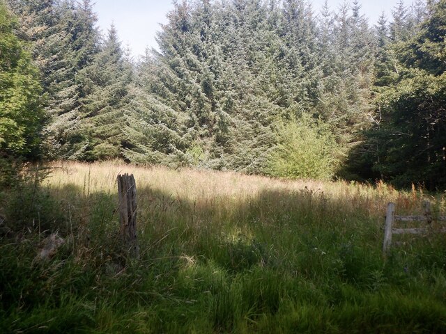
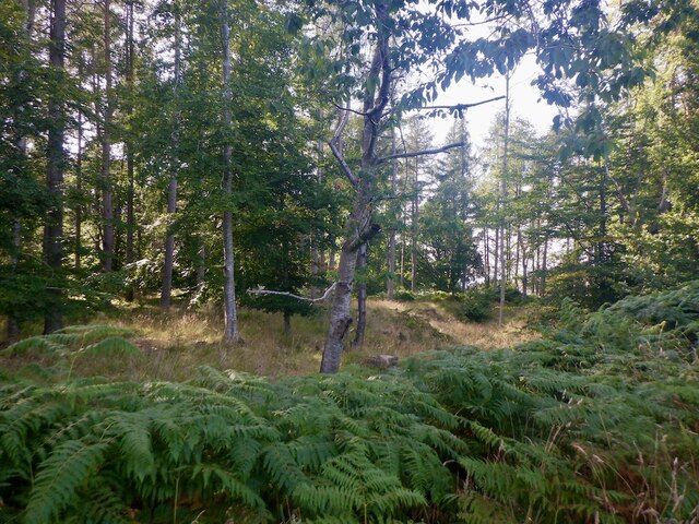
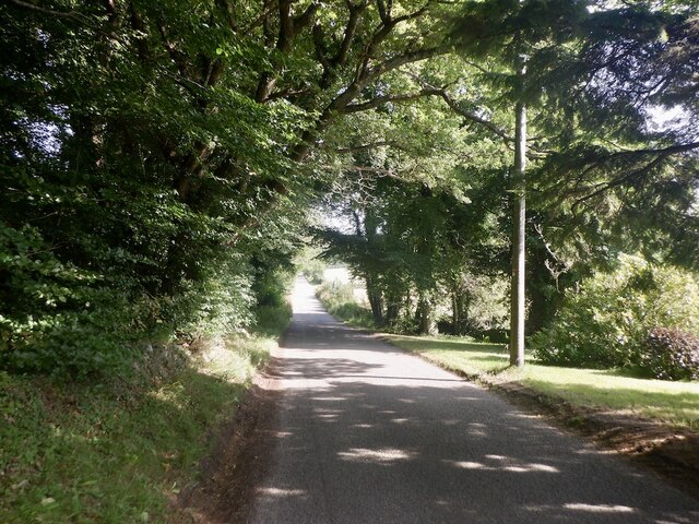
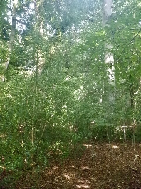
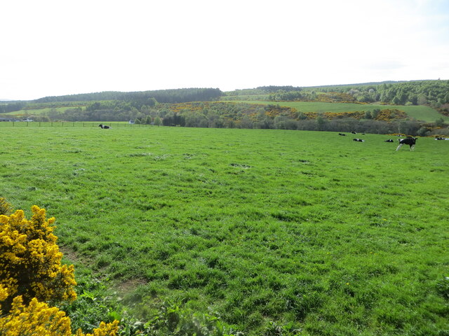
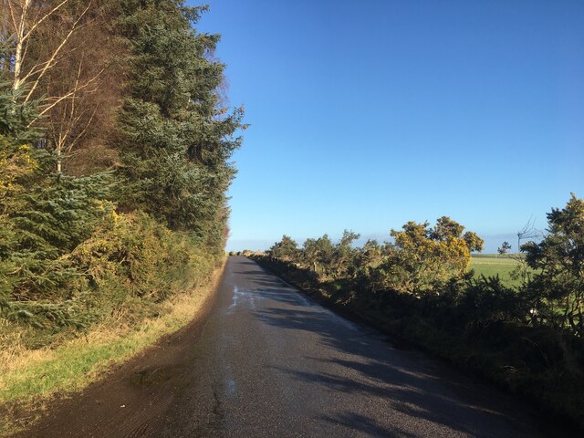
Brightmony Wood is a picturesque forest located in Nairnshire, Scotland. Stretching over an area of approximately 50 acres, it is a popular destination for nature enthusiasts and hikers. The woodland is characterized by its dense and diverse vegetation, consisting of a variety of native tree species such as oak, birch, and pine.
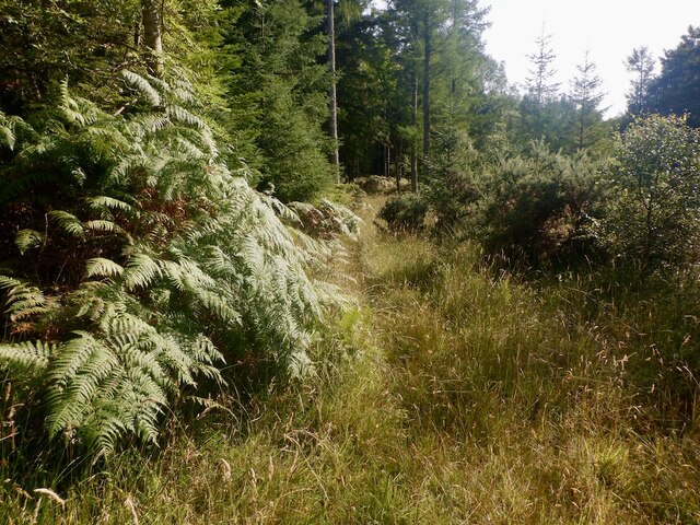
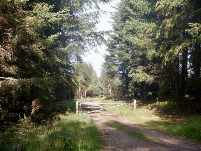
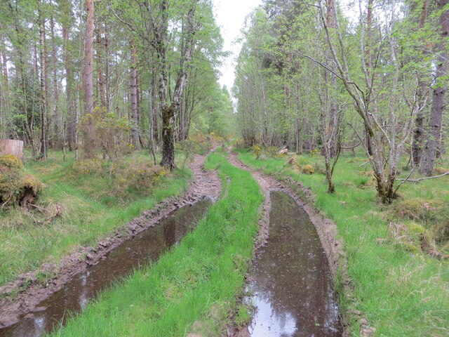
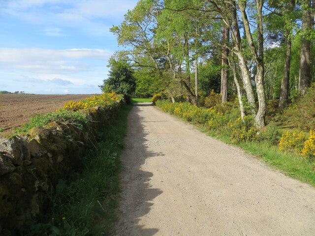
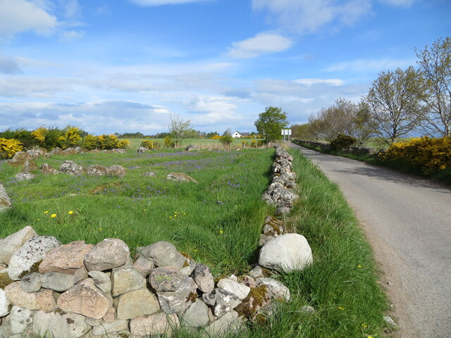
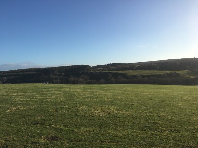
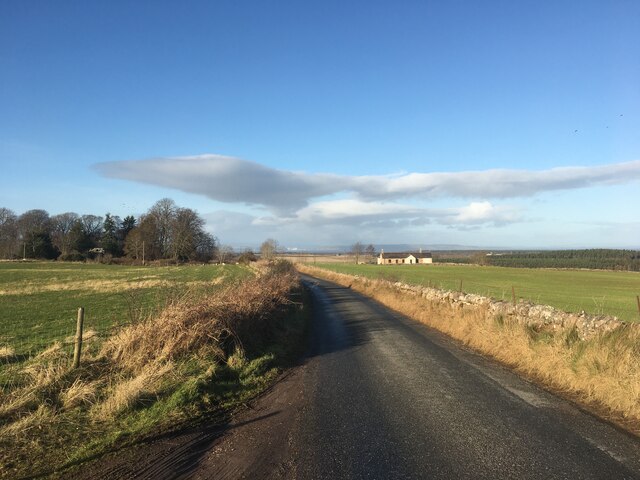
The wood is nestled within a hilly landscape, offering stunning panoramic views of the surrounding countryside. The terrain is relatively easy to navigate, with well-maintained walking trails that meander through the forest. These trails cater to different levels of fitness and provide opportunities for both leisurely strolls and more challenging hikes.
Brightmony Wood is home to a rich array of wildlife, making it a haven for nature lovers. Visitors may encounter a variety of bird species, including woodpeckers, owls, and songbirds. The forest also supports a diverse range of mammals, such as red squirrels, deer, and foxes. Additionally, the wood provides a habitat for various butterflies, insects, and wildflowers, adding to its natural beauty.
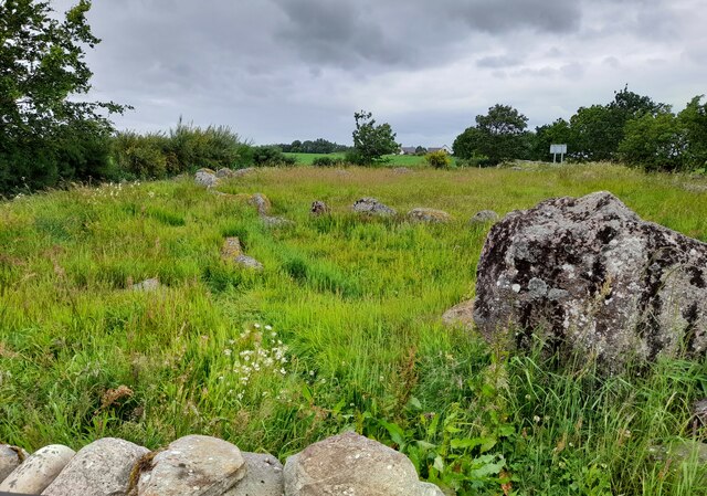
The wood offers a tranquil and serene environment, making it a perfect spot for relaxation and meditation. Many visitors appreciate the sense of solitude and peace that can be found within the forest. The rustling of leaves, the gentle sound of birdsong, and the scent of the woodland contribute to a sensory experience that is truly rejuvenating.
Overall, Brightmony Wood is a captivating destination that combines breathtaking natural scenery, abundant wildlife, and a peaceful atmosphere, making it a must-visit location for anyone seeking solace in nature.
If you have any feedback on the listing, please let us know in the comments section below.
Brightmony Wood Images
Images are sourced within 2km of 57.557454/-3.7798155 or Grid Reference NH9353. Thanks to Geograph Open Source API. All images are credited.


Brightmony Wood is located at Grid Ref: NH9353 (Lat: 57.557454, Lng: -3.7798155)
Unitary Authority: Highland
Police Authority: Highlands and Islands
What 3 Words
///passion.grape.bloom. Near Nairn, Highland
Nearby Locations
Related Wikis

Brightmony House
Brightmony House is an 18th-century manor house located south of Auldearn, Highland in Scotland. It is a Category A listed building == History == The property...
Kinsteary House
Kinsteary House is a manor house and site of a possible castle located south of Auldearn, Highland in Scotland. == History == The property passed by marriage...

Littlemill
Littlemill is a village located close to Nairn in Nairnshire, Scottish Highlands and is in the Scottish council area of Highland. == References ==
Regoul
Regoul is a small rural hamlet, located 4.5 miles south of Nairn, in Nairnshire, Scottish Highlands and is in the Scottish council area of Highland....
Battle of Auldearn
The Battle of Auldearn was an engagement of the Wars of the Three Kingdoms. It took place on 9 May 1645, in and around the village of Auldearn in Nairnshire...
Auldearn
Auldearn (Scottish Gaelic: Allt Èireann) is a village situated east of the River Nairn, just outside Nairn in the Highland council area of Scotland. It...
Auldearn railway station
Auldearn was a railway station located near Nairn, in the Scottish administrative area of Highland. The station was on the line from Aberdeen to Inverness...

Rait Castle
Rait Castle is a ruined hall-house castle dating from the thirteenth century, situated just south of Nairn near Inverness, Scotland. It is a scheduled...
Have you been to Brightmony Wood?
Leave your review of Brightmony Wood below (or comments, questions and feedback).