Beltedstane Wood

Wood, Forest in Perthshire

Scotland

Beltedstane Wood

Stubble, Strath Earn Overlooking, Millearne.
Stubble, Strath Earn Credit: Richard Webb

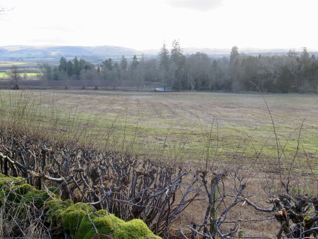
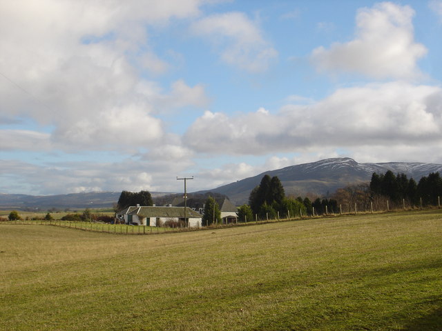
Beltedstane Wood is a picturesque forest located in Perthshire, Scotland. Covering an area of approximately 200 acres, it is a place of natural beauty and tranquility. The wood is situated on the south-facing slopes of a valley, offering stunning views of the surrounding landscape.

The forest is primarily composed of native broadleaf trees, such as oak, birch, and ash, which create a diverse and vibrant ecosystem. The trees provide shelter and food for a variety of wildlife, including birds, squirrels, and deer. Walking through the wood, visitors may encounter these creatures, as well as a rich array of plant life, including bluebells, primroses, and ferns.

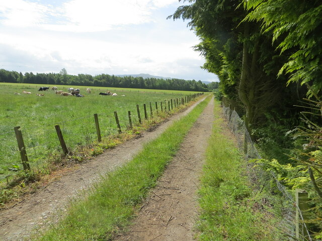
Several walking trails wind their way through Beltedstane Wood, allowing visitors to explore its hidden corners and discover its natural wonders. The paths are well-maintained and suitable for all ages and abilities. Along the way, there are benches and picnic areas, providing opportunities to rest and enjoy the peaceful surroundings.

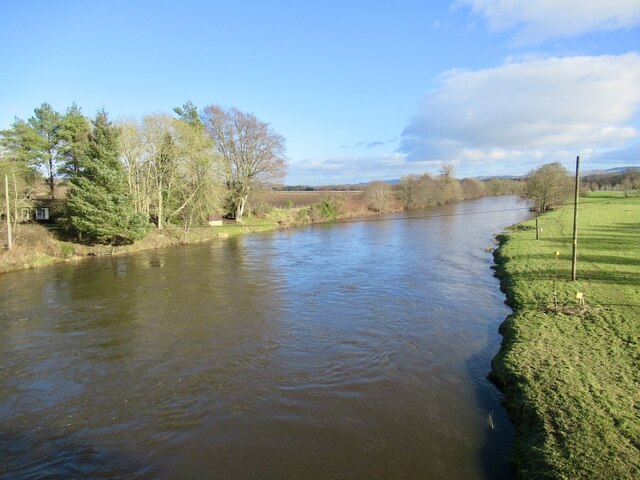
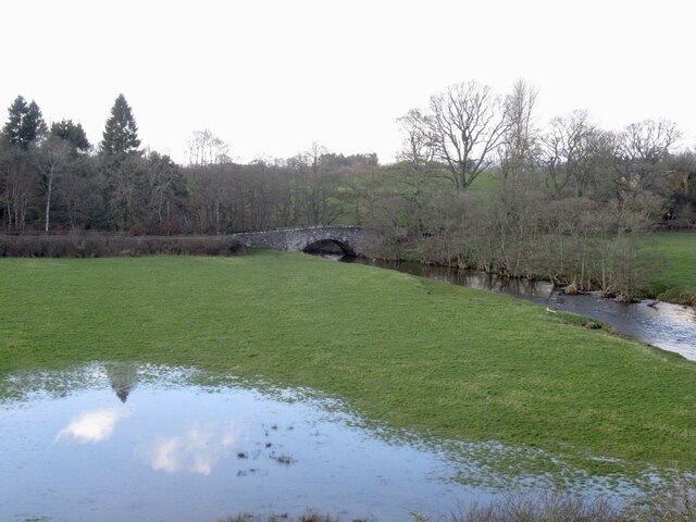
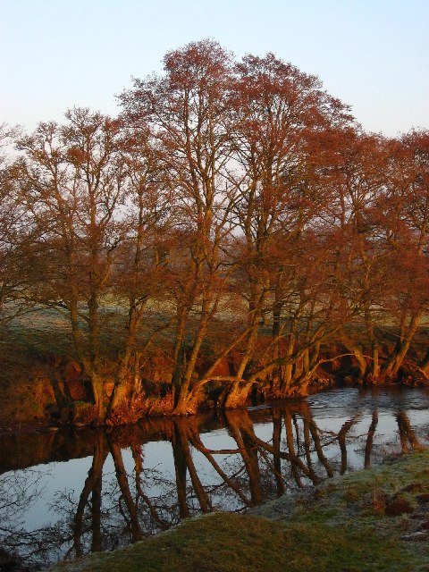
The wood is also home to a small stream, which adds to its charm and provides a soothing soundtrack as it meanders through the trees. The sound of running water, combined with the gentle rustling of leaves, creates a sense of serenity and calmness.

Beltedstane Wood is a popular destination for nature lovers, hikers, and photographers, who are drawn to its beauty and tranquility. Whether it's a leisurely stroll, a picnic with loved ones, or an exploration of the local flora and fauna, the wood offers something for everyone.

If you have any feedback on the listing, please let us know in the comments section below.

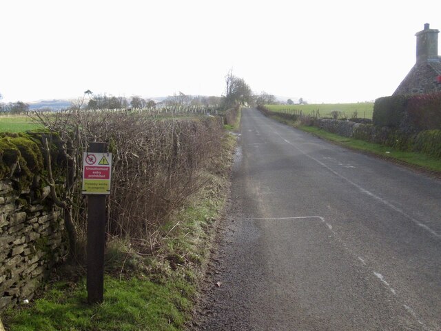
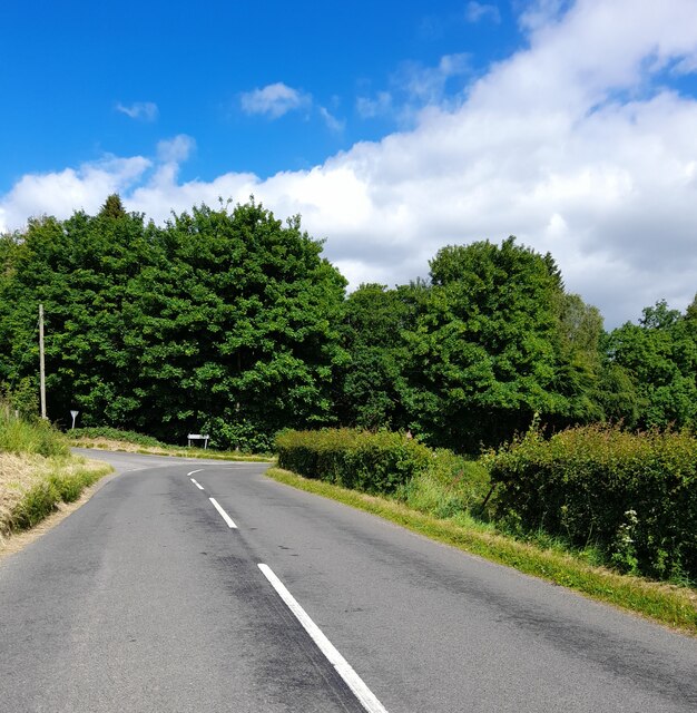
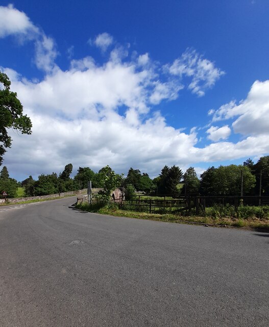
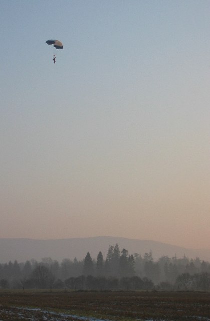
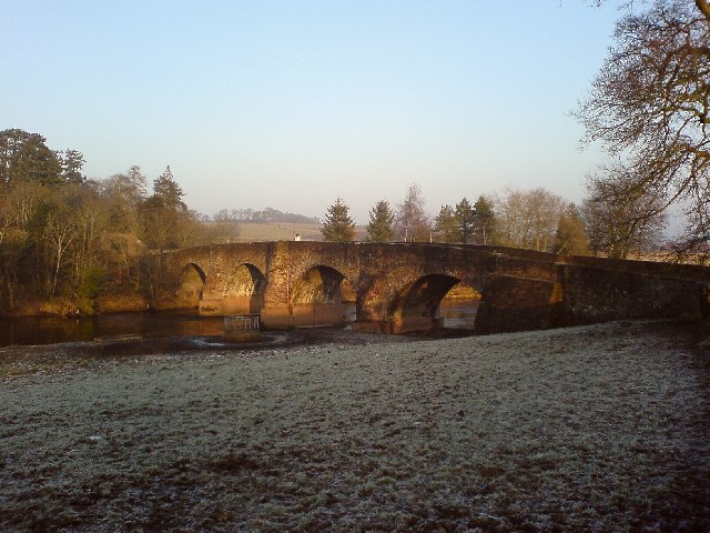
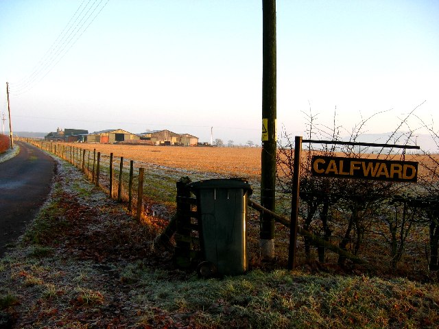
Beltedstane Wood Images

Images are sourced within 2km of 56.320015/-3.7289106 or Grid Reference NN9315. Thanks to Geograph Open Source API. All images are credited.

Stubble, Strath Earn Overlooking, Millearne.
Stubble, Strath Earn
Overlooking, Millearne.
River Earn View downstream from Kinkell Bridge.
River Earn
View downstream from Kinkell Bridge.
Machany Water Near the confluence with the Earn.
Machany Water
Near the confluence with the Earn.
B6062, Wallfauld
B6062, Wallfauld
Another inappropriate forestry sign, B8062 A stupid person placed, or ordered the placement of a forestry keep out sign on the B8062.  This is not the usual road closure sign, you will see those just about every time you go out, just unthinking following of instructions.  Needless to say there was no forestry work anywhere near although some trees were cut down on land to the left at one time - you can see the Tuley tubes of the new plantings.
Another inappropriate forestry sign, B8062
A stupid person placed, or ordered the placement of a forestry keep out sign on the B8062. This is not the usual road closure sign, you will see those just about every time you go out, just unthinking following of instructions. Needless to say there was no forestry work anywhere near although some trees were cut down on land to the left at one time - you can see the Tuley tubes of the new plantings.
Kinkell Bridge
Kinkell Bridge
Minor road at Lowbank Looking north-eastward.
Minor road at Lowbank
Looking north-eastward.
Enclosed track heading towards the River Earn Looking south-eastward from near Lowbank Ponds.
Enclosed track heading towards the River Earn
Looking south-eastward from near Lowbank Ponds.
Coming into land, Strathallan Airfield Home of the Scottish Parachute Club (Skydive Strathallan), the airfield by Kinkell Bridge, sees around 10,000 jumps each year and including 1500 novice jumpers!
Coming into land, Strathallan Airfield
Home of the Scottish Parachute Club (Skydive Strathallan), the airfield by Kinkell Bridge, sees around 10,000 jumps each year and including 1500 novice jumpers!
Kinkell Bridge
Kinkell Bridge
Lowbank pond One of two pools near Lowbank, apparently important wintering areas for Greylag Geese
Lowbank pond
One of two pools near Lowbank, apparently important wintering areas for Greylag Geese
Machany Water A very calm tributary of the River Earn, reflecting trees lit by late afternoon sun
Machany Water
A very calm tributary of the River Earn, reflecting trees lit by late afternoon sun
Calfward Farm
Calfward Farm
Gatehouse for Auchterarder House On a cold snowy day in February
Gatehouse for Auchterarder House
On a cold snowy day in February
War Memorial, Tullibardine Unusually this memorial lists those who served as well as those who died.
War Memorial, Tullibardine
Unusually this memorial lists those who served as well as those who died.
Backburn near Tullibardine Converted cottage on road between Tullibardine and Auchterarder.
Backburn near Tullibardine
Converted cottage on road between Tullibardine and Auchterarder.
Kirkton Park Farm, Auchterarder Hill in distance is Craig Rossie in the Ochil Hills
Kirkton Park Farm, Auchterarder
Hill in distance is Craig Rossie in the Ochil Hills
Show me another place!

Beltedstane Wood is located at Grid Ref: NN9315 (Lat: 56.320015, Lng: -3.7289106)

Unitary Authority: Perth and Kinross

Police Authority: Tayside

What 3 Words

///yummy.televise.groups. Near Auchterarder, Perth & Kinross

Nearby Locations

Beltedstane Wood

Related Wikis

North Mains

North Mains is a henge in Strathearn on Strathallan Estate between Crieff and Auchterarder in Perthshire, Scotland (not in the valley known as Strathallan...

Tullibardine railway station

Tullibardine railway station served the town of Tullibardine, Perth and Kinross in Scotland. == History == It was built in 1857 for the Crieff Junction...

Community School of Auchterarder

The Community School of Auchterarder (TCSoA) (formerly Auchterarder High School) is a small to medium-sized school with a nursery, primary and secondary...

Aytoun Hall

Aytoun Hall, also referred to as Auchterarder Town Hall, is a municipal building in the High Street, Auchterarder, Perth and Kinross, Scotland. The structure...

Nearby Amenities

Located within 500m of 56.320015,-3.7289106
Power: pole
Lat/Long: 56.3229136/-3.7281089
Power: pole
Lat/Long: 56.3230415/-3.7271878
Power: pole
Lat/Long: 56.3231453/-3.7263292
Power: pole
Lat/Long: 56.3232491/-3.7254954
Power: pole
Lat/Long: 56.3232744/-3.7251274
Power: pole
Lat/Long: 56.323671/-3.7245183
Power: pole
Lat/Long: 56.3233436/-3.7252459
Power: pole
Lat/Long: 56.3236906/-3.7261795
Power: pole
Lat/Long: 56.3240906/-3.7272627
Power: pole
Lat/Long: 56.3225723/-3.7253021
Power: pole
Lat/Long: 56.3218852/-3.7256493
Power: pole
Lat/Long: 56.321175/-3.7260131
Power: pole
Lat/Long: 56.3202595/-3.7264685
Power: pole
Lat/Long: 56.3193463/-3.72693
Power: pole
Lat/Long: 56.3185081/-3.7273562
Power: pole
Lat/Long: 56.3176606/-3.7277617
Power: pole
Lat/Long: 56.3171429/-3.7280382
Power: pole
Lat/Long: 56.3166886/-3.7282586
Power: pole
Lat/Long: 56.3158157/-3.7286993
The data included in this document is from www.openstreetmap.org. The data is made available under ODbL.

Have you been to Beltedstane Wood?

Leave your review of Beltedstane Wood below (or comments, questions and feedback).