Blair Skeath Wood

Wood, Forest in Perthshire

Scotland

Blair Skeath Wood

Castleton Road
Castleton Road Credit: Alex McGregor

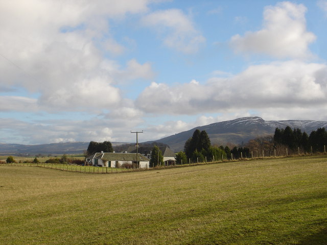
Blair Skeath Wood is a picturesque forest located in Perthshire, Scotland. This enchanting woodland covers an area of approximately 100 hectares and boasts a diverse range of native tree species. The wood is situated near the small village of Blairgowrie, offering visitors a tranquil escape from the hustle and bustle of urban life.

As one explores Blair Skeath Wood, they are greeted by a stunning canopy of trees that includes oak, birch, and pine. These trees provide a habitat for a variety of wildlife, making the wood a haven for nature enthusiasts. Birdwatchers might spot species such as woodpeckers, owls, and various songbirds, while lucky visitors might even catch a glimpse of red squirrels darting through the branches.

The wood features several well-maintained trails, offering visitors the opportunity to enjoy leisurely walks or invigorating hikes. These paths wind their way through the forest, leading visitors to explore hidden glens, babbling brooks, and peaceful clearings. The wood is also home to a small loch, adding to its scenic charm.

Blair Skeath Wood is a popular destination for outdoor activities such as picnicking, wildlife photography, and nature walks. The wood is well-managed, with designated areas for recreational activities and a focus on preserving the natural ecosystem. Visitors are encouraged to respect the environment by following the designated paths and taking any litter with them.

Overall, Blair Skeath Wood offers a serene and captivating experience for nature lovers and those seeking tranquility in the heart of Perthshire. Its stunning landscapes, diverse flora and fauna, and well-maintained trails make it a must-visit destination for anyone exploring the area.

If you have any feedback on the listing, please let us know in the comments section below.

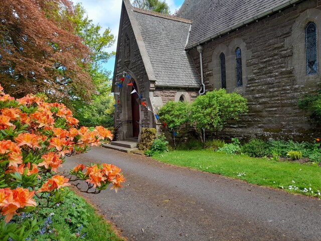
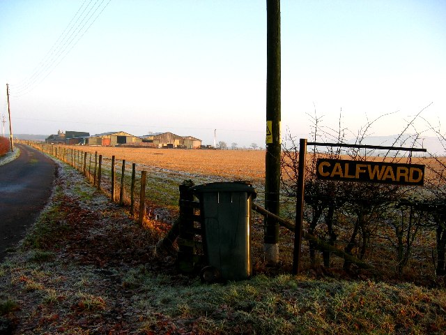
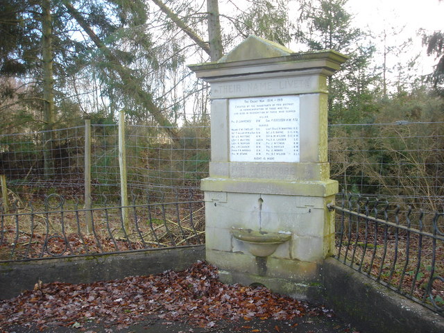
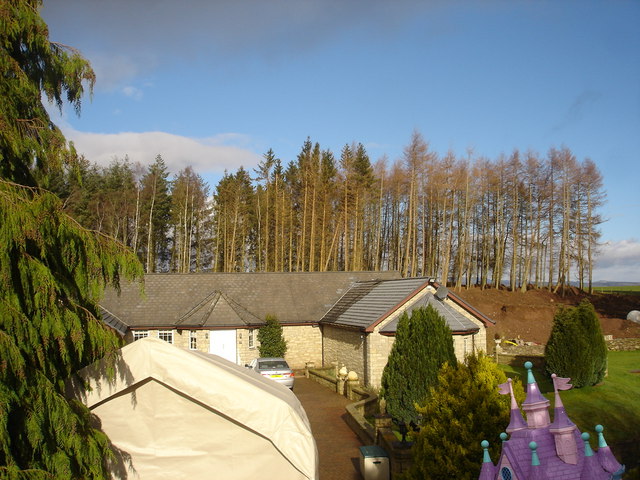
Blair Skeath Wood Images

Images are sourced within 2km of 56.306094/-3.7361697 or Grid Reference NN9213. Thanks to Geograph Open Source API. All images are credited.

Castleton Road
Castleton Road
Sydney Crescent
Sydney Crescent
Orchil Road
Orchil Road
Tullibardine Chapel
Tullibardine Chapel
St Kessog's, Auchterarder One of many churches designed by Alexander Ross.
St Kessog's, Auchterarder
One of many churches designed by Alexander Ross.
Statue at Castlebrae Deer statue
Statue at Castlebrae
Deer statue
Study of a Gasoline Station Pace, Auchterarder.

 This photograph is part of a series taken in homage to the American artist Ed Ruscha's 1963 publication of 'Twentysix Gasoline Stations'.
 More properly known as filling stations in the UK, I am attempting to photograph as many as possible to mark the sixty year anniversary.
Study of a Gasoline Station
Pace, Auchterarder. This photograph is part of a series taken in homage to the American artist Ed Ruscha's 1963 publication of 'Twentysix Gasoline Stations'. More properly known as filling stations in the UK, I am attempting to photograph as many as possible to mark the sixty year anniversary.
Tullibardine Chapel, near Auchterarder, Perthshire Founded c. 1446  rebuilt c 1500.
Tullibardine Chapel, near Auchterarder, Perthshire
Founded c. 1446 rebuilt c 1500.
Calfward Farm
Calfward Farm
Cairn Lodge Hotel, Auchterarder
War Memorial, Tullibardine Unusually this memorial lists those who served as well as those who died.
War Memorial, Tullibardine
Unusually this memorial lists those who served as well as those who died.
Backburn near Tullibardine Converted cottage on road between Tullibardine and Auchterarder.
Backburn near Tullibardine
Converted cottage on road between Tullibardine and Auchterarder.
Kirkton Park Farm, Auchterarder Hill in distance is Craig Rossie in the Ochil Hills
Kirkton Park Farm, Auchterarder
Hill in distance is Craig Rossie in the Ochil Hills
Ploughing near Mains of Tullibardine Farming scene on dark winter's afternoon with snow covered Southern Highlands on horizon.
Ploughing near Mains of Tullibardine
Farming scene on dark winter's afternoon with snow covered Southern Highlands on horizon.
Strathallan Village Hall, Tullibardine Now a private house
Strathallan Village Hall, Tullibardine
Now a private house
East Hill Farm Farm buildings from the Tullibardine Road to Lower Borland Park footpath.
East Hill Farm
Farm buildings from the Tullibardine Road to Lower Borland Park footpath.
East Hill Farm East Hill Farm from the Tullibardine Road to Lower Borland Park footpath.
East Hill Farm
East Hill Farm from the Tullibardine Road to Lower Borland Park footpath.
East Third Farm East Third Farm from the Tullibadine Road to Lower Borland footpath
East Third Farm
East Third Farm from the Tullibadine Road to Lower Borland footpath
Show me another place!

Blair Skeath Wood is located at Grid Ref: NN9213 (Lat: 56.306094, Lng: -3.7361697)

Unitary Authority: Perth and Kinross

Police Authority: Tayside

What 3 Words

///trickled.sensitive.slippers. Near Auchterarder, Perth & Kinross

Related Wikis

Tullibardine railway station

Tullibardine railway station served the town of Tullibardine, Perth and Kinross in Scotland. == History == It was built in 1857 for the Crieff Junction...

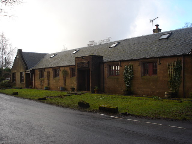
St Margaret's Hospital, Auchterarder

St Margaret's Hospital is a health facility in Western Road, Auchterarder, Scotland. It is managed by NHS Tayside. It is a Category B listed building....
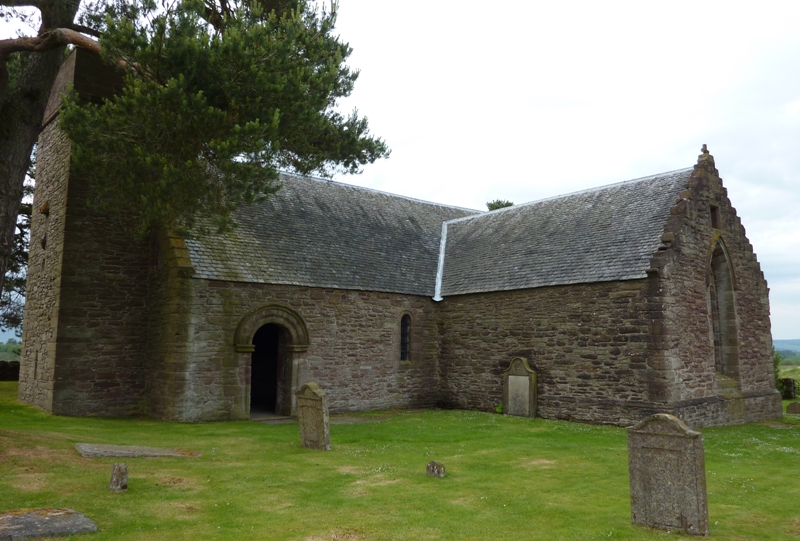
Tullibardine Chapel

Tullibardine Chapel is an ancient church building in Tullibardine, Perth and Kinross, Scotland. It is one of the most complete medieval churches in Scotland...

Community School of Auchterarder

The Community School of Auchterarder (TCSoA) (formerly Auchterarder High School) is a small to medium-sized school with a nursery, primary and secondary...

Aytoun Hall

Aytoun Hall, also referred to as Auchterarder Town Hall, is a municipal building in the High Street, Auchterarder, Perth and Kinross, Scotland. The structure...

Auchterarder

Auchterarder ( ; Scottish Gaelic: Uachdar Àrdair, meaning Upper Highland) is a town north of the Ochil Hills in Perth and Kinross, Scotland, and home to...

North Mains

North Mains is a henge in Strathearn on Strathallan Estate between Crieff and Auchterarder in Perthshire, Scotland (not in the valley known as Strathallan...

1936 Curtis Cup

The 3rd Curtis Cup Match was played on 6 May 1936 on the King's Course at Gleneagles Hotel in Auchterarder, Perthshire, Scotland. The match ended in a...

Nearby Amenities

Located within 500m of 56.306094,-3.7361697
Tullibardine
Place: hamlet
Wikidata: Q48769618
Wikipedia: en:Tullibardine
Lat/Long: 56.30692/-3.7427767
Post Box
Collection Times: Mo-Fr 09:00; Sa 07:00
Manufacturer: Abbot Engineering
Operator: Royal Mail
Post Box Mounting: pier
Post Box Type: lamp
Ref: PH3 50D
Royal Cypher: scottish_crown
Source: survey;local knowledge
Lat/Long: 56.3070198/-3.7402732
Historic: memorial
Memorial: war_memorial
Lat/Long: 56.3070345/-3.7402345
Power: pole
Lat/Long: 56.3017977/-3.7383246
Power: pole
Lat/Long: 56.3018577/-3.7369274
Power: pole
Lat/Long: 56.3019188/-3.7356301
Power: pole
Lat/Long: 56.3019753/-3.7344055
Power: pole
Lat/Long: 56.3022568/-3.7333389
Power: pole
Lat/Long: 56.3026144/-3.7320103
Power: pole
Lat/Long: 56.3028001/-3.7310893
Power: pole
Lat/Long: 56.3104361/-3.7364274
Power: pole
Lat/Long: 56.3103/-3.7375959
Power: pole
Lat/Long: 56.3101789/-3.7388246
Power: pole
Lat/Long: 56.3096207/-3.7405669
Power: pole
Lat/Long: 56.3092274/-3.7410223
Power: pole
Lat/Long: 56.3088111/-3.7415358
Power: pole
Lat/Long: 56.3101028/-3.7347309
Power: pole
Lat/Long: 56.3095469/-3.7341529
Power: pole
Lat/Long: 56.3088526/-3.7334522
Power: pole
Lat/Long: 56.3082529/-3.7328202
Power: pole
Lat/Long: 56.3076589/-3.7322359
Power: pole
Lat/Long: 56.3073187/-3.7332942
Power: pole
Lat/Long: 56.3069473/-3.7344231
Power: pole
Lat/Long: 56.3070142/-3.735943
The data included in this document is from www.openstreetmap.org. The data is made available under ODbL.

Have you been to Blair Skeath Wood?

Leave your review of Blair Skeath Wood below (or comments, questions and feedback).