Lady Wood
Wood, Forest in Clackmannanshire
Scotland
Lady Wood
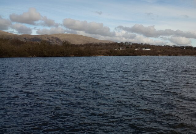
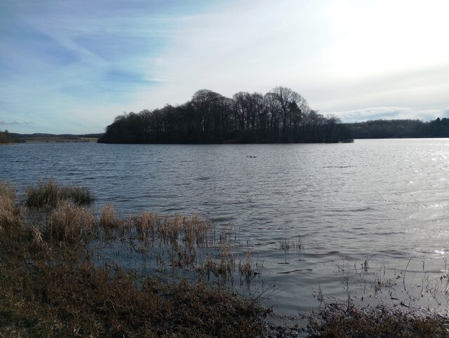
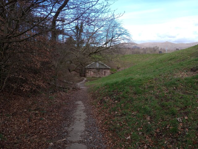
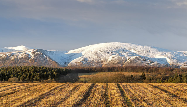
Lady Wood is a small forested area located in Clackmannanshire, Scotland. Covering an area of approximately 10 hectares, it is situated on the southern slopes of the Ochil Hills between the villages of Tillicoultry and Alva. The woodland is part of the Ochil Hills Regional Park, a designated area known for its natural beauty and recreational opportunities.
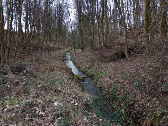
Lady Wood is predominantly composed of mixed broadleaf trees, including oak, birch, and beech, which create a diverse and vibrant habitat. The forest floor is adorned with an array of wildflowers, ferns, and mosses, adding to its ecological richness. The woodland is also home to various wildlife species, such as red squirrels, badgers, and a variety of bird species, making it an important local biodiversity hotspot.
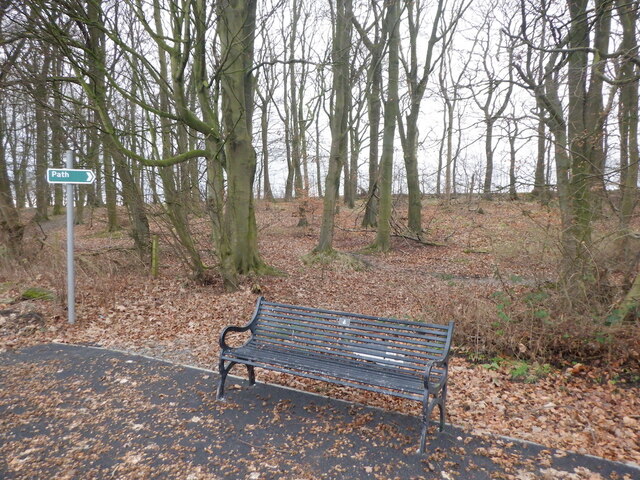
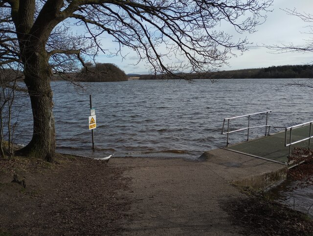
The forest is a popular destination for outdoor enthusiasts and nature lovers alike. It offers several well-maintained walking trails that wind through the wood, providing visitors with the opportunity to explore its serene surroundings. The trails are suitable for all ages and fitness levels, making it a great place for families to enjoy a leisurely stroll or for more experienced hikers to immerse themselves in nature.
Lady Wood is easily accessible, with nearby parking facilities and public transportation options available. Its proximity to the surrounding villages also makes it a convenient recreational spot for local residents. The woodland not only provides a tranquil escape from the hustle and bustle of everyday life but also serves as an important natural resource for the community, offering a place to connect with nature and enjoy the beauty of Clackmannanshire's countryside.
If you have any feedback on the listing, please let us know in the comments section below.
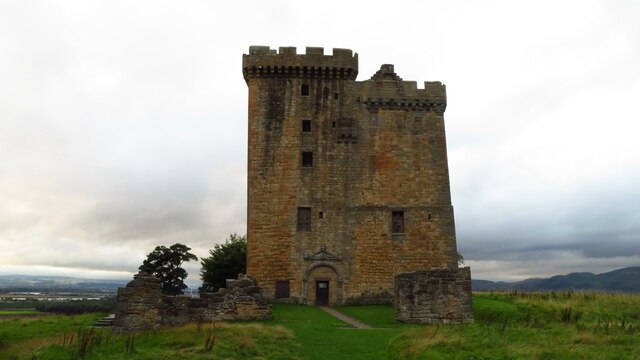
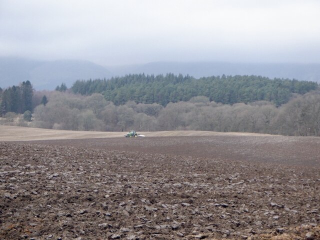
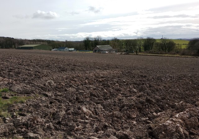
Lady Wood Images
Images are sourced within 2km of 56.115148/-3.7319174 or Grid Reference NS9292. Thanks to Geograph Open Source API. All images are credited.


Lady Wood is located at Grid Ref: NS9292 (Lat: 56.115148, Lng: -3.7319174)
Unitary Authority: Clackmannanshire
Police Authority: Forth Valley
What 3 Words
///intricate.doctors.hamsters. Near Clackmannan, Clackmannanshire
Nearby Locations
Related Wikis

Clackmannan Road railway station
Clackmannan Road railway station served the town of Clackmannan, Clackmannanshire, Scotland from 1850 to 1921 on the Stirling and Dunfermline Railway....
Clackmannan House
Clackmannan House, built c. 1815, is an example of Georgian design, stone built and nestled in a secluded setting amidst garden grounds of approximately...

Clackmannan and Kennet railway station
Clackmannan and Kennet railway station served the town of Clackmannan, Clackmannanshire from 1893 to 1930 on the Kincardine Line. == History == The station...

Clackmannan
Clackmannan ( ; Scottish Gaelic: Clach Mhanainn, perhaps meaning "Stone of Manau"), is a small town and civil parish set in the Central Lowlands of Scotland...

Forest Mill railway station
Forest Mill railway station served the hamlet of Forestmill, Clackmannanshire, Scotland from 1850 to 1930 on the Stirling and Dunfermline Railway. ��2...

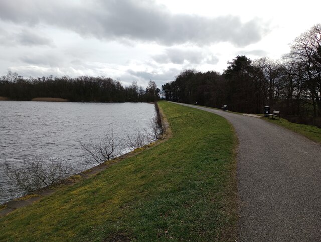
Gartmorn Dam
Gartmorn Dam is an artificial freshwater lake north-east of Alloa, Clackmannanshire, Scotland, UK, built in 1711-12 as a reservoir to supply water to hydraulic...
Chapelhill Park
Chapelhill Park was a football ground in Clackmannan, Scotland. It was the home ground of Clackmannan F.C. from 1886 until the club folded in 1931. �...
Kennet, Clackmannanshire
Kennet is a small former coal-mining village in Clackmannanshire, Scotland. It is located 1.5 kilometres (0.93 mi) south-east of Clackmannan, by the Kincardine...
Related Videos

The Balquharn Burn: Discovering a hidden gem in the Ochils! An Ideal high water adventure! #travel
When we went to see what was in this wee canyon we didn't expect to find such a hidden gem and such an amazing adventure!
Walking with Tamson, episode 48. The Brothie burn #growingup #history #scotland #alloa #fun
A wee trip to see if the path is blocked...
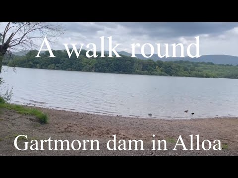
A 3 Mile walk round Gartmorn Dam in Alloa
Hello Everyone Welcome to another video Today We are going on a walk round Gartmorn Dam in Alloa The walk is 3 miles ...

Spring Road Trip Drive To Visit Clackmannan Clackmannanshire Scotland
Tour Scotland Spring travel video of an April road trip drive, with Scottish music, on visit to Clackmannan, Scottish Gaelic: Clach ...
Nearby Amenities
Located within 500m of 56.115148,-3.7319174Have you been to Lady Wood?
Leave your review of Lady Wood below (or comments, questions and feedback).