Andrews Wood

Wood, Forest in Perthshire

Scotland

Andrews Wood

Machany Water Near the confluence with the Earn.
Machany Water Credit: Richard Webb

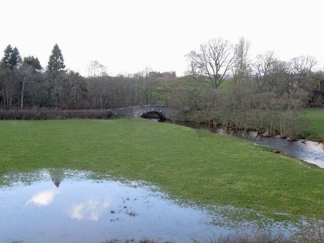
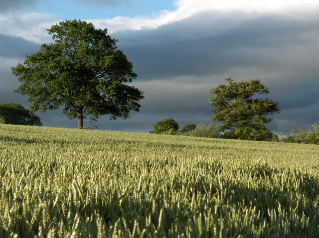
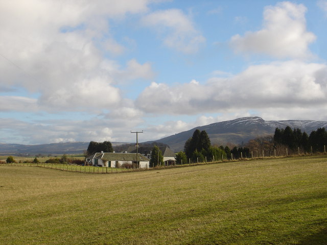
Andrews Wood is a picturesque forest located in Perthshire, Scotland. Covering an area of approximately 100 acres, the wood is known for its diverse range of flora and fauna, making it a popular destination for nature enthusiasts and hikers alike.

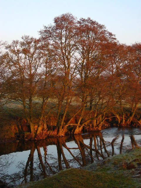
The wood is primarily composed of native Scottish trees, including oak, birch, and pine, which create a dense canopy overhead. The forest floor is carpeted with a variety of mosses, ferns, and wildflowers, adding to the enchanting atmosphere of the wood. The tranquil ambiance is further enhanced by the gentle sound of the nearby River Tay, which meanders through the outskirts of the forest.

In addition to its natural beauty, Andrews Wood is home to an abundance of wildlife. Visitors may spot red squirrels, roe deer, and a variety of bird species, including woodpeckers and owls. The wood also provides a habitat for several rare and protected species, such as the Scottish wildcat and the capercaillie.

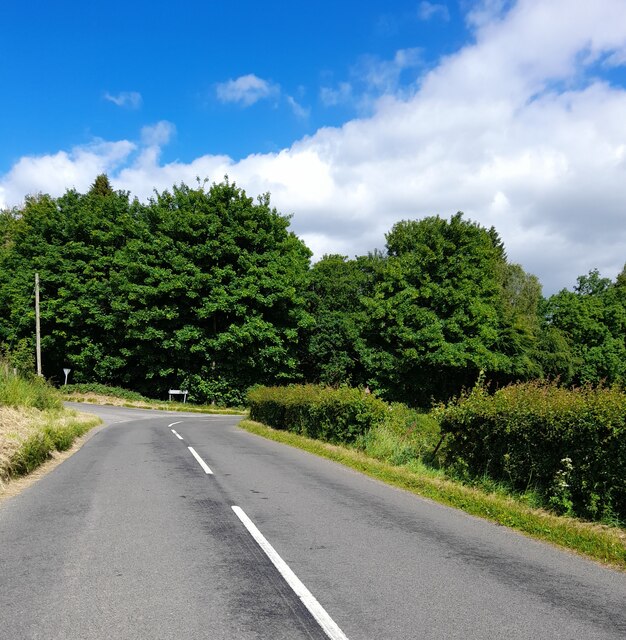
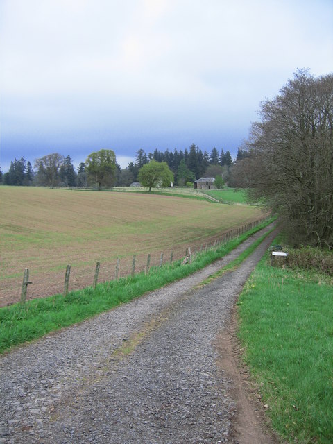
The wood offers a network of well-maintained trails and paths, which allow visitors to explore its various nooks and crannies. These paths cater to different levels of difficulty, accommodating both casual walkers and more experienced hikers. Along the way, there are several viewpoints and picnic areas, providing visitors with opportunities to rest and appreciate the stunning vistas.

With its natural beauty, diverse wildlife, and well-maintained trails, Andrews Wood is a must-visit destination for anyone seeking solace in the heart of Perthshire's countryside.

If you have any feedback on the listing, please let us know in the comments section below.
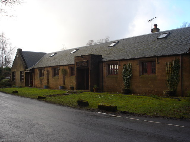
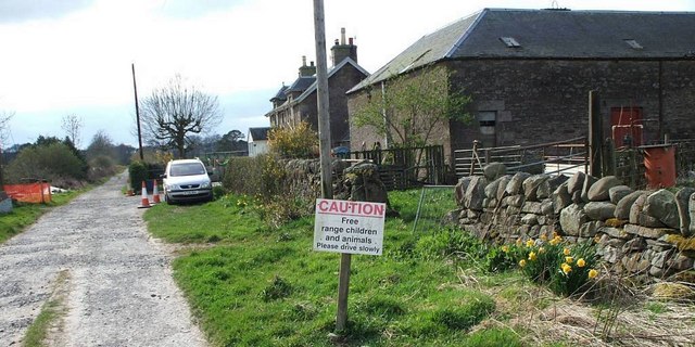
Andrews Wood Images

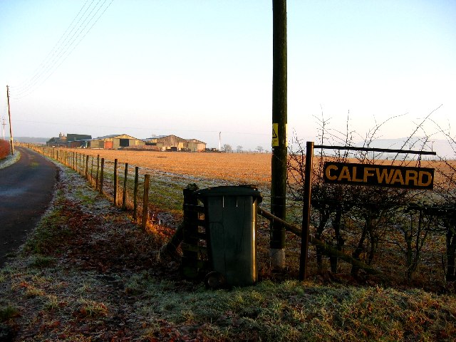
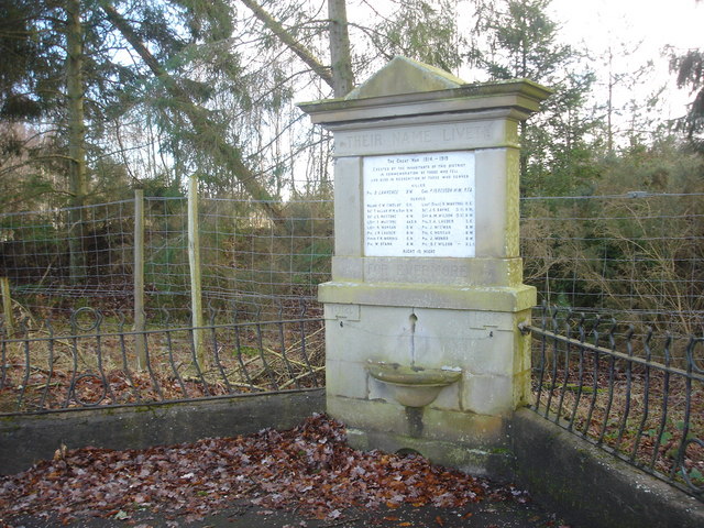
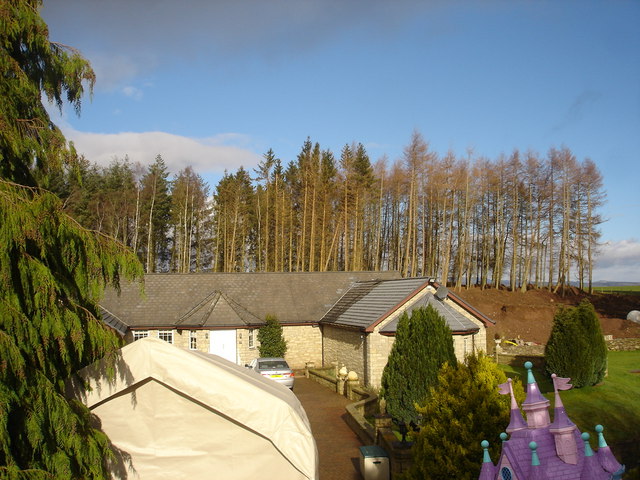
Images are sourced within 2km of 56.312057/-3.742131 or Grid Reference NN9214. Thanks to Geograph Open Source API. All images are credited.

Machany Water Near the confluence with the Earn.
Machany Water
Near the confluence with the Earn.
Tullibardine Chapel
Tullibardine Chapel
Tullibardine Chapel, near Auchterarder, Perthshire Founded c. 1446  rebuilt c 1500.
Tullibardine Chapel, near Auchterarder, Perthshire
Founded c. 1446 rebuilt c 1500.
Coming into land, Strathallan Airfield Home of the Scottish Parachute Club (Skydive Strathallan), the airfield by Kinkell Bridge, sees around 10,000 jumps each year and including 1500 novice jumpers!
Coming into land, Strathallan Airfield
Home of the Scottish Parachute Club (Skydive Strathallan), the airfield by Kinkell Bridge, sees around 10,000 jumps each year and including 1500 novice jumpers!
Machany Water A very calm tributary of the River Earn, reflecting trees lit by late afternoon sun
Machany Water
A very calm tributary of the River Earn, reflecting trees lit by late afternoon sun
Calfward Farm
Calfward Farm
Farmland, Milton of Machany Looking north-east from Crosshill.
Farmland, Milton of Machany
Looking north-east from Crosshill.
War Memorial, Tullibardine Unusually this memorial lists those who served as well as those who died.
War Memorial, Tullibardine
Unusually this memorial lists those who served as well as those who died.
Backburn near Tullibardine Converted cottage on road between Tullibardine and Auchterarder.
Backburn near Tullibardine
Converted cottage on road between Tullibardine and Auchterarder.
Kirkton Park Farm, Auchterarder Hill in distance is Craig Rossie in the Ochil Hills
Kirkton Park Farm, Auchterarder
Hill in distance is Craig Rossie in the Ochil Hills
Ploughing near Mains of Tullibardine Farming scene on dark winter's afternoon with snow covered Southern Highlands on horizon.
Ploughing near Mains of Tullibardine
Farming scene on dark winter's afternoon with snow covered Southern Highlands on horizon.
Strathallan Village Hall, Tullibardine Now a private house
Strathallan Village Hall, Tullibardine
Now a private house
East Third Farm East Third Farm from the Tullibadine Road to Lower Borland footpath
East Third Farm
East Third Farm from the Tullibadine Road to Lower Borland footpath
Farm at Lower Borland Park Sign reads "CAUTION Free range children and animals Please drive slowly"
Farm at Lower Borland Park
Sign reads "CAUTION Free range children and animals Please drive slowly"
Track Leading to Forester's Croft
Tangled Burn
Tangled Burn
Brackenhill Farm
Brackenhill Farm
Show me another place!

Andrews Wood is located at Grid Ref: NN9214 (Lat: 56.312057, Lng: -3.742131)

Unitary Authority: Perth and Kinross

Police Authority: Tayside

What 3 Words

///ripen.online.bells. Near Auchterarder, Perth & Kinross

Related Wikis

Tullibardine railway station

Tullibardine railway station served the town of Tullibardine, Perth and Kinross in Scotland. == History == It was built in 1857 for the Crieff Junction...

North Mains

North Mains is a henge in Strathearn on Strathallan Estate between Crieff and Auchterarder in Perthshire, Scotland (not in the valley known as Strathallan...
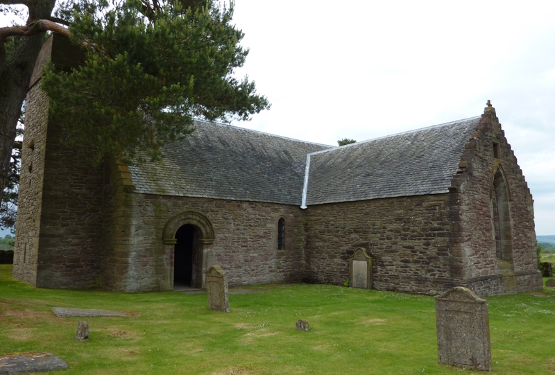
Tullibardine Chapel

Tullibardine Chapel is an ancient church building in Tullibardine, Perth and Kinross, Scotland. It is one of the most complete medieval churches in Scotland...

St Margaret's Hospital, Auchterarder

St Margaret's Hospital is a health facility in Western Road, Auchterarder, Scotland. It is managed by NHS Tayside. It is a Category B listed building....

Nearby Amenities

Located within 500m of 56.312057,-3.742131
Tullibardine Sawmill
1860name: Saw Mill
Pont: no
Stobie1783: yes
Designation: Historic Mill
Historic: archaeological_site
Source: OS Six inch First Series
Lat/Long: 56.310421/-3.7399144
Tullibardine
1860name: Tullibardine Mill (Corn & Barley)
Pont: no
Stobie1783: Mill of Tullibardine
Designation: Historic Mill
Historic: archaeological_site
Source: OS Six inch First Series
Lat/Long: 56.3091474/-3.7424249
Power: pole
Lat/Long: 56.310571/-3.7351155
Power: pole
Lat/Long: 56.3104361/-3.7364274
Power: pole
Lat/Long: 56.3103/-3.7375959
Power: pole
Lat/Long: 56.3101789/-3.7388246
Power: pole
Lat/Long: 56.3100543/-3.7400513
Power: pole
Lat/Long: 56.3096207/-3.7405669
Power: pole
Lat/Long: 56.3092274/-3.7410223
Power: pole
Lat/Long: 56.3088111/-3.7415358
Power: pole
Lat/Long: 56.3094558/-3.7418705
Power: pole
Lat/Long: 56.3096887/-3.7427687
Power: pole
Lat/Long: 56.3099102/-3.7436503
Power: pole
Lat/Long: 56.3097937/-3.7444091
Power: pole
Lat/Long: 56.3096161/-3.7456005
Power: pole
Lat/Long: 56.3094961/-3.7463489
The data included in this document is from www.openstreetmap.org. The data is made available under ODbL.

Have you been to Andrews Wood?

Leave your review of Andrews Wood below (or comments, questions and feedback).