Redbrae Wood
Wood, Forest in Dumfriesshire
Scotland
Redbrae Wood

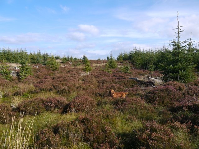
Redbrae Wood is a picturesque woodland located in Dumfriesshire, Scotland. Stretching over an area of approximately 50 acres, the wood is situated in a tranquil setting, surrounded by the rolling hills and stunning landscapes of the Scottish countryside. It offers a peaceful retreat for nature enthusiasts and outdoor lovers.
The wood is characterized by a diverse range of tree species, including oak, beech, birch, and Scots pine. The dense canopy provides ample shade, creating a cool and refreshing atmosphere, especially during the summer months. The forest floor is adorned with an array of wildflowers and ferns, adding to the beauty of the surroundings.
Redbrae Wood is home to a variety of wildlife, making it a popular spot for birdwatchers and nature photographers. Visitors may spot species such as red squirrels, foxes, badgers, and a wide range of bird species, including owls, woodpeckers, and thrushes.
The wood features several well-maintained walking trails, allowing visitors to explore the area at their own pace. The paths wind through the trees, offering stunning views of the wood and its surroundings. There are also picnic areas and benches scattered throughout the wood, providing a perfect spot for visitors to relax and enjoy a picnic amidst nature.
Redbrae Wood is easily accessible, with a car park located nearby. It is open to the public throughout the year, and there is no admission fee, making it an ideal destination for a day trip or a leisurely stroll in nature.
If you have any feedback on the listing, please let us know in the comments section below.
Redbrae Wood Images
Images are sourced within 2km of 55.20439/-3.6970527 or Grid Reference NX9291. Thanks to Geograph Open Source API. All images are credited.


Redbrae Wood is located at Grid Ref: NX9291 (Lat: 55.20439, Lng: -3.6970527)
Unitary Authority: Dumfries and Galloway
Police Authority: Dumfries and Galloway
What 3 Words
///lunching.making.flame. Near Thornhill, Dumfries & Galloway
Nearby Locations
Related Wikis

Closeburn Castle
Closeburn Castle is a privately owned tower house, probably of the 14th century, but possibly older, and is one of the oldest continually inhabited houses...
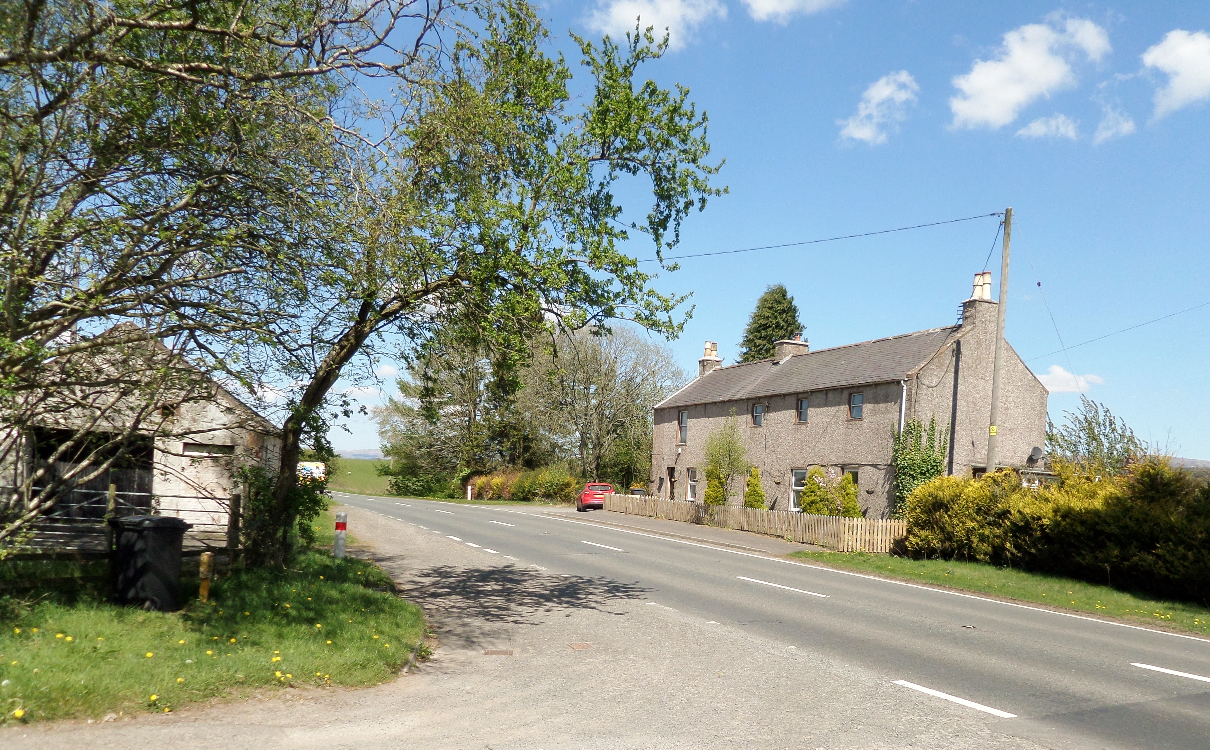
Brownhill Inn
Brownhill Inn, now just called Brownhill (NX 902 911), was an inn approximately 1 mile (1.6 km) mile south of Closeburn, on the A76, which itself is about...

Closeburn, Dumfries and Galloway
Closeburn (Scottish Gaelic: Cill Osbairn) is a village and civil parish in Dumfries and Galloway, Scotland. The village is on the A76 road 2+1⁄2 miles...
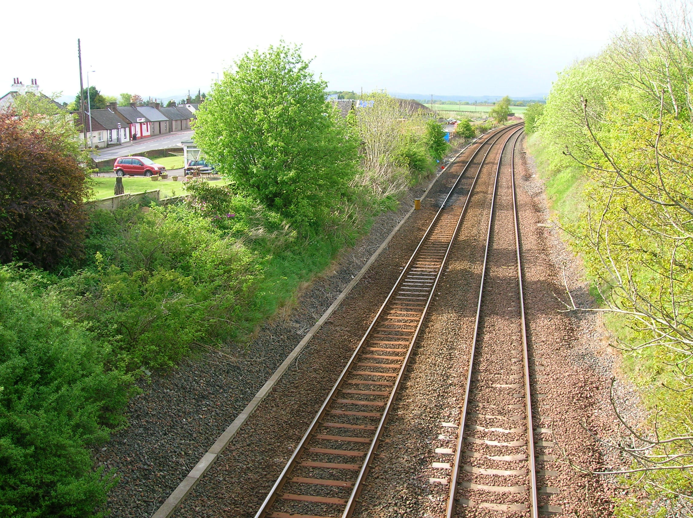
Closeburn railway station
Closeburn railway station was a railway station in Dumfries and Galloway north of Dumfries, serving a rural community with Wallace Hall and Closeburn Castle...
Nearby Amenities
Located within 500m of 55.20439,-3.6970527Have you been to Redbrae Wood?
Leave your review of Redbrae Wood below (or comments, questions and feedback).