Bog Wood
Wood, Forest in Perthshire
Scotland
Bog Wood

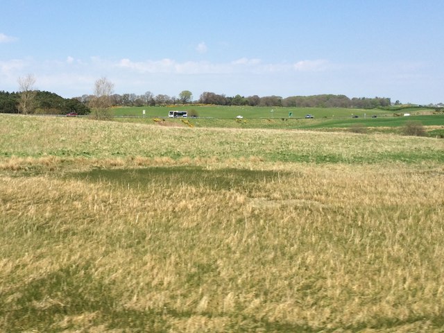
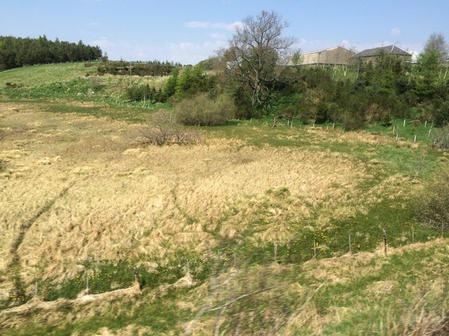
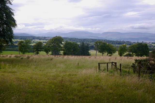
Bog Wood, located in Perthshire, Scotland, is a picturesque woodland area renowned for its unique landscape and historical significance. This ancient forest, also known as a bog or wetland, is characterized by its waterlogged environment and the presence of preserved tree trunks dating back thousands of years.
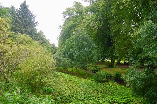
The wood is home to a diverse range of flora and fauna, including rare plant species such as sphagnum moss and sundew, which thrive in the wet conditions. The dense canopy of trees, including oak, birch, and pine, provides habitat for various bird species, including woodpeckers and owls. The forest floor is also teeming with wildlife, including deer, foxes, and numerous species of insects.
One of the most fascinating aspects of Bog Wood is the presence of ancient tree trunks that have been preserved in the bog for centuries. These submerged logs, known as bogwood, have undergone a process called fossilization, where the wood is slowly replaced by minerals over time. The result is a striking blackened appearance and exceptional preservation of the wood's cellular structure.
The historical importance of Bog Wood is evident in the discovery of archaeological artifacts, including tools and weapons, that have been found in the area. These findings suggest that the wood was utilized by early human settlers, who recognized its value for construction and as a source of fuel.
Today, Bog Wood serves as a popular destination for nature enthusiasts, offering beautiful walking trails and opportunities for bird watching and wildlife observation. Visitors can immerse themselves in the tranquil atmosphere of this ancient woodland, while also appreciating the unique geological and historical significance it holds.
If you have any feedback on the listing, please let us know in the comments section below.
Bog Wood Images
Images are sourced within 2km of 56.262796/-3.7447835 or Grid Reference NN9209. Thanks to Geograph Open Source API. All images are credited.


Bog Wood is located at Grid Ref: NN9209 (Lat: 56.262796, Lng: -3.7447835)
Unitary Authority: Perth and Kinross
Police Authority: Tayside
What 3 Words
///plenty.headlines.assume. Near Auchterarder, Perth & Kinross
Nearby Locations
Related Wikis
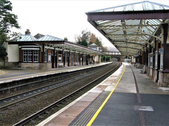
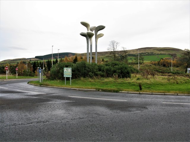
Gleneagles railway station
Gleneagles railway station serves the town of Auchterarder in Perth and Kinross, Scotland. == History == The station was opened by the Scottish Central...

Blackford railway station
Blackford railway station served the village of Blackford, Perth and Kinross, Scotland from 1848 to 1956 on the Scottish Central Railway. == History... ==

Gleneagles (Scotland)
Glen Eagles (Scottish Gaelic: Gleann na h-Eaglais/Gleann Eagas) is a glen which connects with Glen Devon to form a pass through the Ochil Hills of Perth...
2018 European Golf Team Championships
The 2018 European Golf Team Championships was a golf tournament played in August 2018 at Gleneagles, Scotland. It was the inaugural event and consisted...
Nearby Amenities
Located within 500m of 56.262796,-3.7447835Have you been to Bog Wood?
Leave your review of Bog Wood below (or comments, questions and feedback).