Grassmainston Strip
Wood, Forest in Clackmannanshire
Scotland
Grassmainston Strip
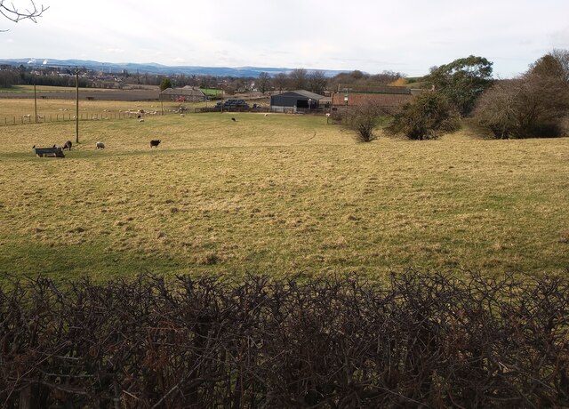
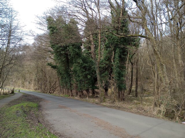
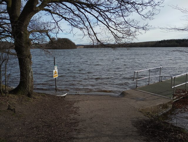
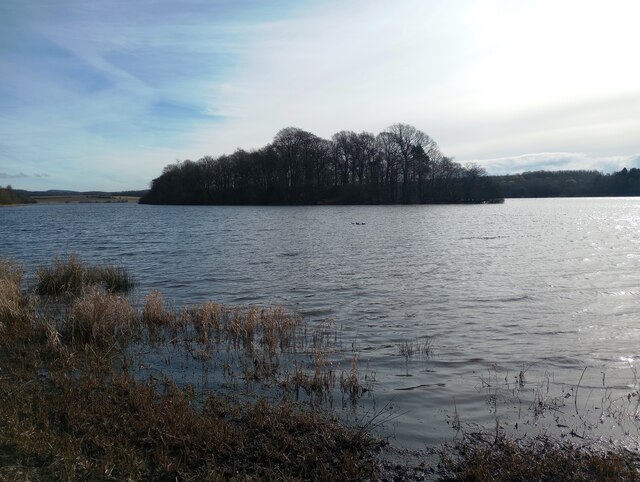
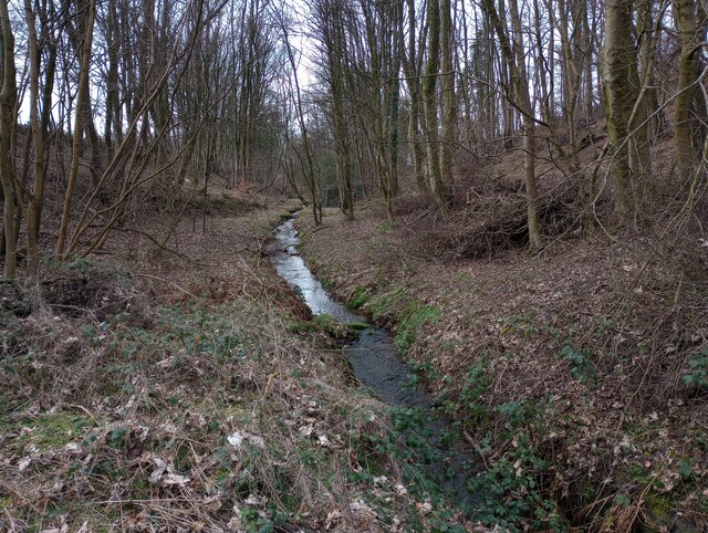
Grassmainston Strip is a picturesque woodland located in Clackmannanshire, Scotland. Covering an area of approximately 30 acres, this enchanting forest is a popular destination for nature enthusiasts and hikers alike.
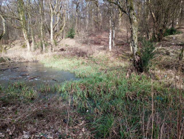
The area is characterized by its dense growth of various tree species, including oak, birch, and beech, which create a lush and vibrant canopy. The forest floor is adorned with a rich carpet of moss, ferns, and wildflowers, adding to its natural beauty.
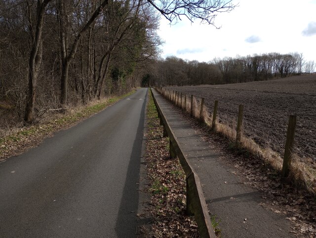
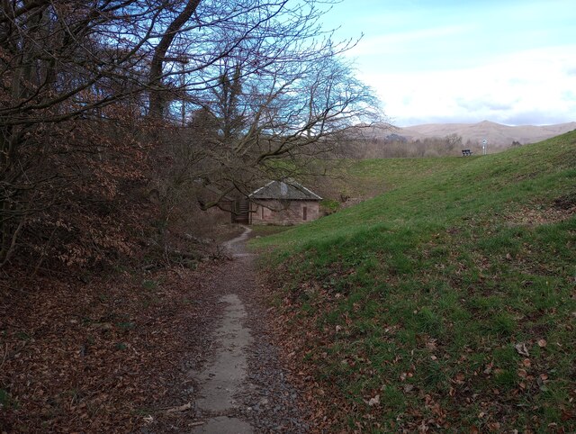
The strip is crisscrossed by several well-maintained walking trails, making it easy for visitors to explore and appreciate the diverse flora and fauna that call this woodland home. These trails lead visitors through different sections of the forest, providing opportunities to admire the towering trees, listen to the soothing sounds of birdsong, and spot small woodland creatures such as red squirrels and hares.
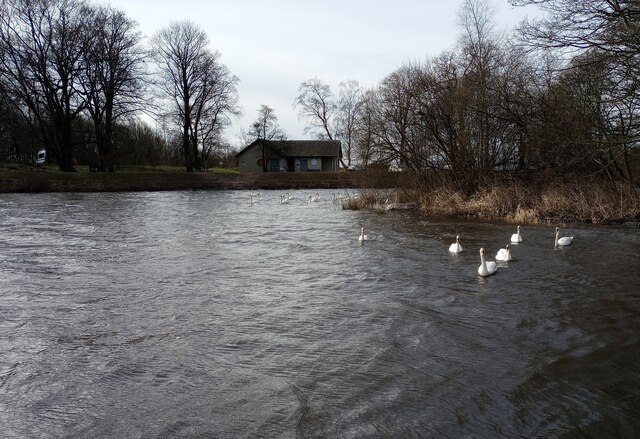
Grassmainston Strip is also known for its important ecological value. The forest provides a habitat for a variety of bird species, including woodpeckers, owls, and thrushes. Additionally, the woodland serves as a vital corridor for wildlife, connecting different habitats and allowing for the movement of animals across the landscape.
Visitors to Grassmainston Strip can also enjoy the tranquility and serenity of the forest. The peaceful atmosphere, combined with the natural beauty of the surroundings, makes it an ideal location for relaxation and mindfulness.
In conclusion, Grassmainston Strip in Clackmannanshire is a captivating woodland that offers visitors a chance to immerse themselves in nature. With its diverse flora and fauna, well-maintained trails, and ecological significance, this forest is a must-visit destination for those seeking a peaceful and enriching outdoor experience.
If you have any feedback on the listing, please let us know in the comments section below.
Grassmainston Strip Images
Images are sourced within 2km of 56.119915/-3.7424911 or Grid Reference NS9193. Thanks to Geograph Open Source API. All images are credited.


Grassmainston Strip is located at Grid Ref: NS9193 (Lat: 56.119915, Lng: -3.7424911)
Unitary Authority: Clackmannanshire
Police Authority: Forth Valley
What 3 Words
///confusion.sectors.overruns. Near Clackmannan, Clackmannanshire
Nearby Locations
Related Wikis

Clackmannan Road railway station
Clackmannan Road railway station served the town of Clackmannan, Clackmannanshire, Scotland from 1850 to 1921 on the Stirling and Dunfermline Railway....

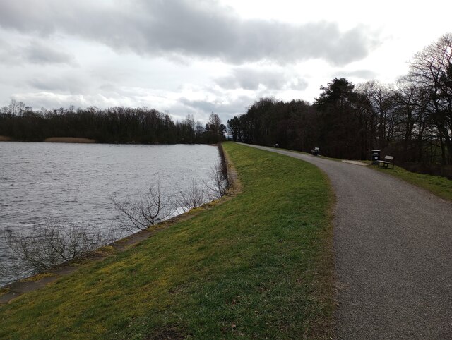
Gartmorn Dam
Gartmorn Dam is an artificial freshwater lake north-east of Alloa, Clackmannanshire, Scotland, UK, built in 1711-12 as a reservoir to supply water to hydraulic...
Clackmannan House
Clackmannan House, built c. 1815, is an example of Georgian design, stone built and nestled in a secluded setting amidst garden grounds of approximately...

Clackmannan and Kennet railway station
Clackmannan and Kennet railway station served the town of Clackmannan, Clackmannanshire from 1893 to 1930 on the Kincardine Line. == History == The station...

Clackmannan
Clackmannan ( ; Scottish Gaelic: Clach Mhanainn, perhaps meaning "Stone of Manau"), is a small town and civil parish set in the Central Lowlands of Scotland...

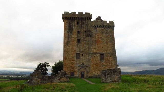
Clackmannan Tower
The Clackmannan Tower is a historic five-storey tower house situated at the summit of King's Seat Hill in Clackmannan, Clackmannanshire, Scotland. It dates...
Chapelhill Park
Chapelhill Park was a football ground in Clackmannan, Scotland. It was the home ground of Clackmannan F.C. from 1886 until the club folded in 1931. �...
Upper Hirst
The Upper Hirst is a coal seam in central Scotland that was mined on a large scale in the 1950s through to 2002, mainly to supply Kincardine Power Station...
Nearby Amenities
Located within 500m of 56.119915,-3.7424911Have you been to Grassmainston Strip?
Leave your review of Grassmainston Strip below (or comments, questions and feedback).