South Castle Wood
Wood, Forest in Perthshire
Scotland
South Castle Wood
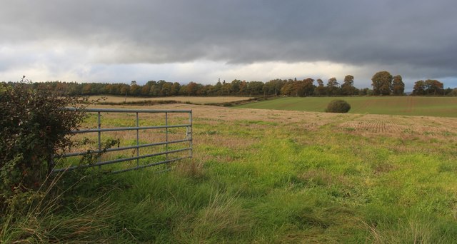
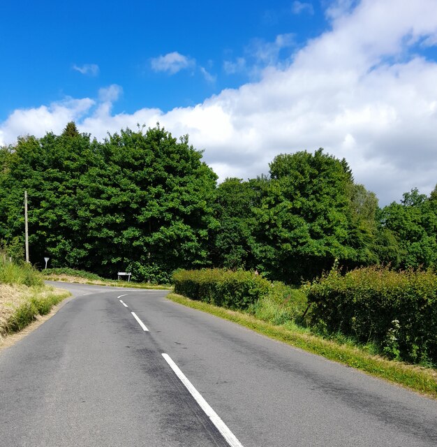
South Castle Wood is a picturesque forest located in the region of Perthshire, Scotland. Covering an area of approximately 100 acres, it is nestled amidst the stunning landscape of rolling hills and lush green meadows. The wood is situated in close proximity to the charming village of Comrie, making it easily accessible for visitors.
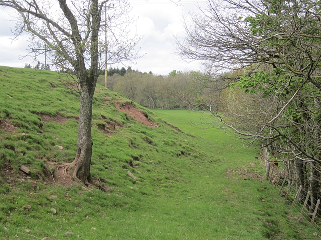
This ancient woodland is characterized by a diverse range of tree species, including oak, birch, beech, and pine. The dense canopy provides a tranquil and sheltered environment, making it an ideal habitat for a variety of wildlife. Bird enthusiasts can spot species such as woodpeckers, tits, and finches, while red squirrels can be seen scurrying among the branches. The forest floor is adorned with an array of wildflowers, adding bursts of color to the surroundings.
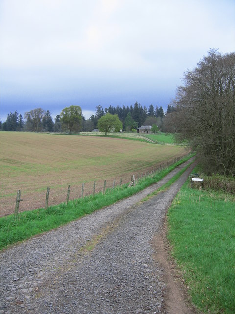
South Castle Wood offers numerous walking trails, allowing visitors to explore its natural beauty at their own pace. The trails wind through the wood, offering breathtaking views of the surrounding landscape and the nearby River Earn. The wood is also intersected by a small stream, providing a serene setting for picnics or simply relaxing by the water.
The conservation of South Castle Wood is a priority, and efforts have been made to preserve its ecological integrity. The wood is managed sustainably, ensuring the protection of its diverse flora and fauna. Interpretive signs along the trails provide interesting information about the woodland ecosystem, further enhancing the visitor experience.
Overall, South Castle Wood is a captivating destination for nature lovers, offering a peaceful retreat where one can immerse themselves in the beauty of Scotland's natural heritage.
If you have any feedback on the listing, please let us know in the comments section below.
South Castle Wood Images
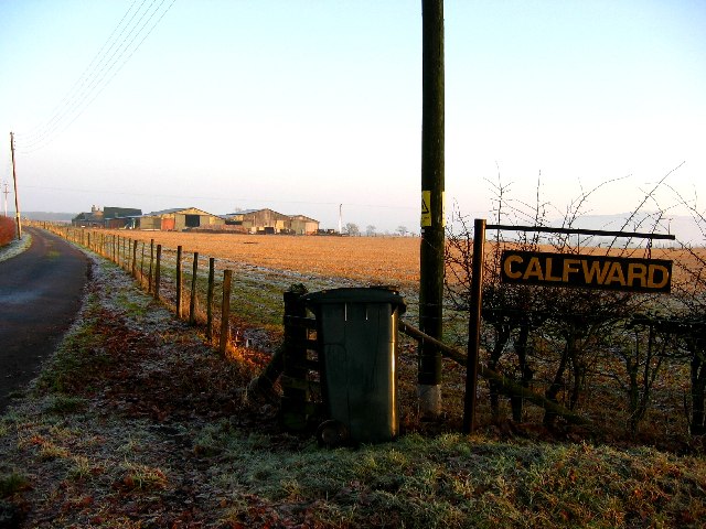
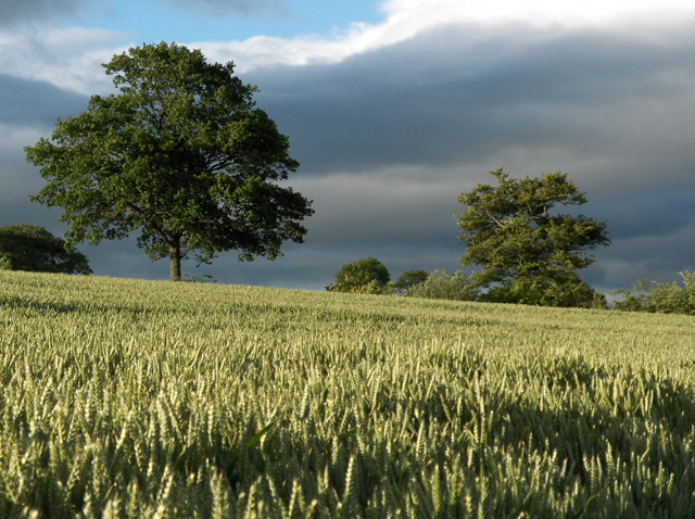
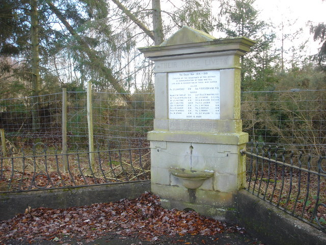
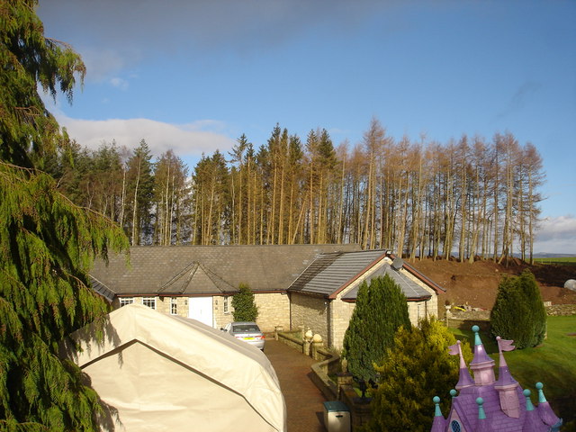
Images are sourced within 2km of 56.317622/-3.7547216 or Grid Reference NN9115. Thanks to Geograph Open Source API. All images are credited.


South Castle Wood is located at Grid Ref: NN9115 (Lat: 56.317622, Lng: -3.7547216)
Unitary Authority: Perth and Kinross
Police Authority: Tayside
What 3 Words
///licks.collects.opposing. Near Auchterarder, Perth & Kinross
Nearby Locations
Related Wikis

North Mains
North Mains is a henge in Strathearn on Strathallan Estate between Crieff and Auchterarder in Perthshire, Scotland (not in the valley known as Strathallan...
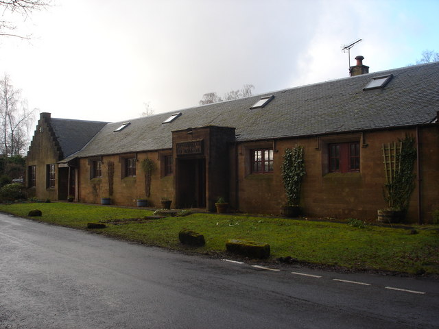
Tullibardine railway station
Tullibardine railway station served the town of Tullibardine, Perth and Kinross in Scotland. == History == It was built in 1857 for the Crieff Junction...
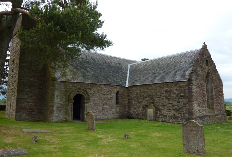
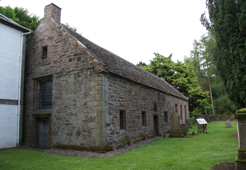
Tullibardine Chapel
Tullibardine Chapel is an ancient church building in Tullibardine, Perth and Kinross, Scotland. It is one of the most complete medieval churches in Scotland...
Muthill railway station
Muthill railway station served the village of Muthill in Scotland. The station is now the premises of James Haggart & Sons LTD (A potato grower and exporter...

Strageath
Strageath is a Roman camp near the River Earn in eastern Scotland. Strageath was one of a chain of camps that the Romans used in their march northward...
Innerpeffray Collegiate Church
Innerpeffray Collegiate Church is an ancient church building in Innerpeffray, Perth and Kinross, Scotland. Dating to 1508, it is now a scheduled monument...
Innerpeffray
Innerpeffray is a hamlet in Perthshire, Scotland, 4 miles (6.4 km) southeast of Crieff. It is located on a raised promontory among beech woodland above...
Innerpeffray Library
Innerpeffray Library was the first lending library in Scotland. It is located in the hamlet of Innerpeffray, by the River Earn in Perth and Kinross, 4...
Nearby Amenities
Located within 500m of 56.317622,-3.7547216Have you been to South Castle Wood?
Leave your review of South Castle Wood below (or comments, questions and feedback).