Knockoudie Wood
Wood, Forest in Nairnshire
Scotland
Knockoudie Wood
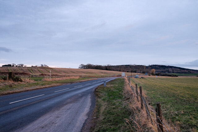
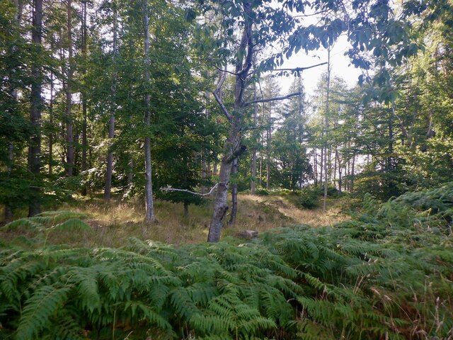
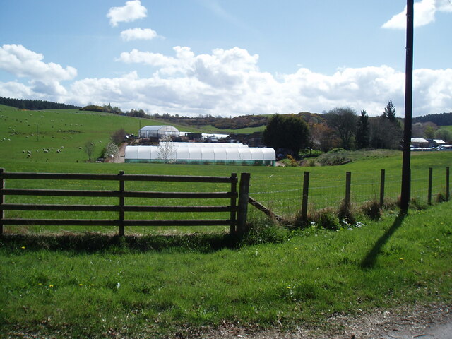
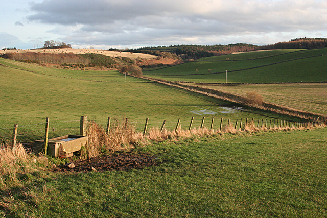
Knockoudie Wood is a picturesque woodland located in Nairnshire, Scotland. It covers an area of approximately 100 acres and is known for its diverse range of flora and fauna. The wood is situated near the town of Nairn, just a few miles away from the Moray Firth coastline, providing a stunning backdrop to the area.
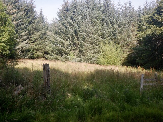
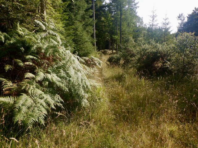
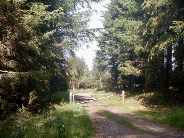
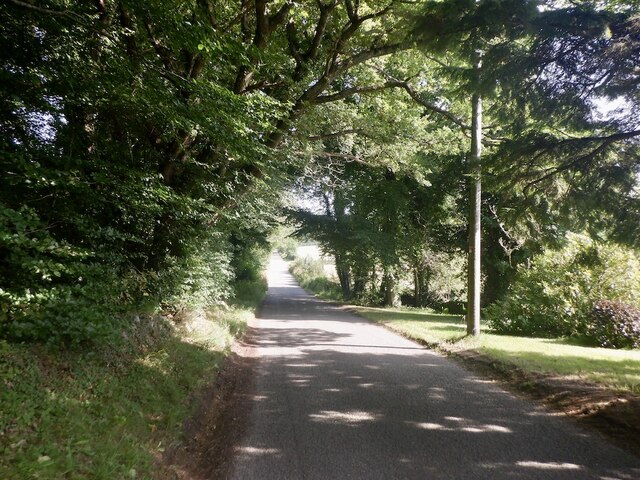
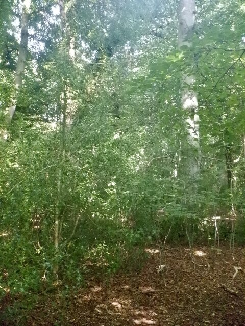
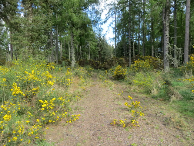
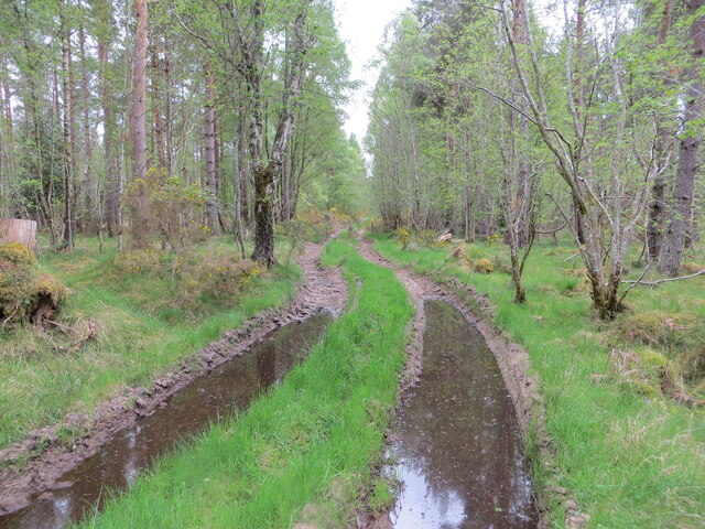
The woodland consists mainly of native Scottish trees such as oak, birch, and pine, which create a rich and vibrant environment. The trees are interspersed with patches of heather, bracken, and wildflowers, adding to the natural beauty of the wood. A network of well-maintained trails and paths allows visitors to explore the area on foot, immersing themselves in the peaceful ambiance of the wood.
The wood is home to a variety of wildlife, including red squirrels, roe deer, and a wide range of bird species. Nature enthusiasts often visit Knockoudie Wood for birdwatching, as it provides an excellent opportunity to spot rare and migratory birds.
In addition to its natural beauty, Knockoudie Wood also has historical significance. There are remnants of an old stone circle within the wood, believed to be a Bronze Age monument, which adds an air of mystery and intrigue to the area.
Overall, Knockoudie Wood is a tranquil and enchanting destination for nature lovers, offering a chance to escape the hustle and bustle of everyday life and immerse oneself in the beauty of Scotland's woodlands.
If you have any feedback on the listing, please let us know in the comments section below.
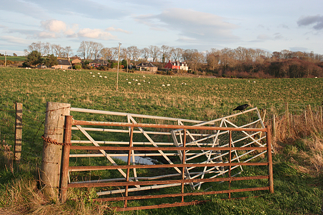
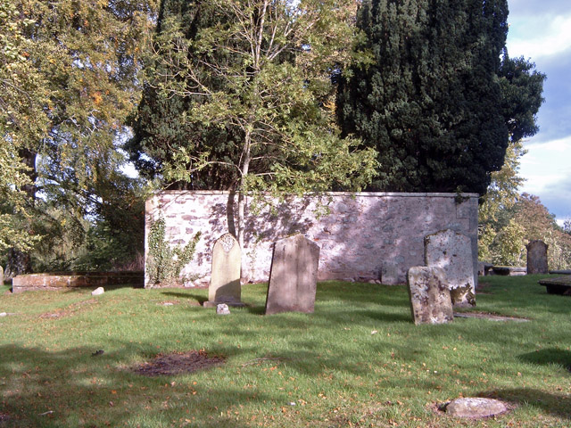
Knockoudie Wood Images
Images are sourced within 2km of 57.557069/-3.8200464 or Grid Reference NH9153. Thanks to Geograph Open Source API. All images are credited.


Knockoudie Wood is located at Grid Ref: NH9153 (Lat: 57.557069, Lng: -3.8200464)
Unitary Authority: Highland
Police Authority: Highlands and Islands
What 3 Words
///heeding.bungalows.rainwater. Near Nairn, Highland
Nearby Locations
Related Wikis

Regoul
Regoul is a small rural hamlet, located 4.5 miles south of Nairn, in Nairnshire, Scottish Highlands and is in the Scottish council area of Highland....
Kinsteary House
Kinsteary House is a manor house and site of a possible castle located south of Auldearn, Highland in Scotland. == History == The property passed by marriage...
Brightmony House
Brightmony House is an 18th-century manor house located south of Auldearn, Highland in Scotland. It is a Category A listed building == History == The property...

Rait Castle
Rait Castle is a ruined hall-house castle dating from the thirteenth century, situated just south of Nairn near Inverness, Scotland. It is a scheduled...
Auldearn
Auldearn (Scottish Gaelic: Allt Èireann) is a village situated east of the River Nairn, just outside Nairn in the Highland council area of Scotland. It...
Battle of Auldearn
The Battle of Auldearn was an engagement of the Wars of the Three Kingdoms. It took place on 9 May 1645, in and around the village of Auldearn in Nairnshire...
Geddes, Highland
Geddes (Scottish Gaelic: Geadais) is a small village located 5 km to the south of Nairn, in the Highland council area of Scotland. == Geddes House == Geddes...

Littlemill
Littlemill is a village located close to Nairn in Nairnshire, Scottish Highlands and is in the Scottish council area of Highland. == References ==
Have you been to Knockoudie Wood?
Leave your review of Knockoudie Wood below (or comments, questions and feedback).