Hamilton Wood
Wood, Forest in Clackmannanshire
Scotland
Hamilton Wood

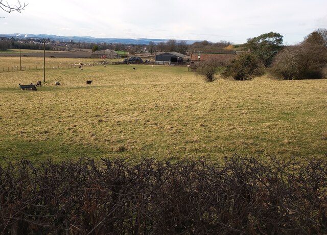
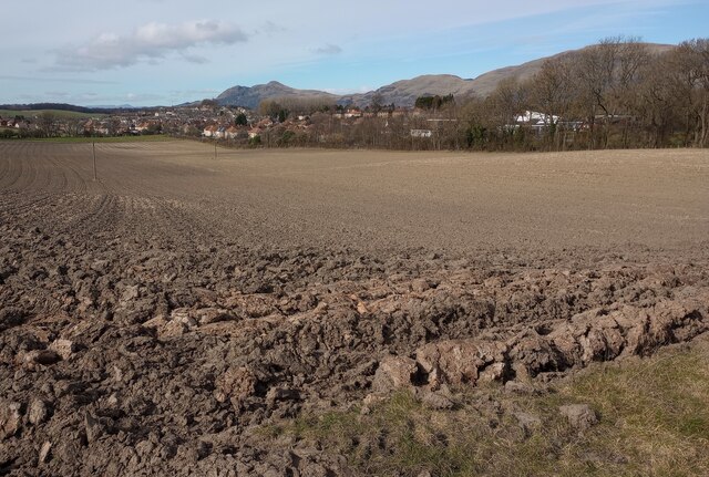
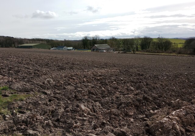
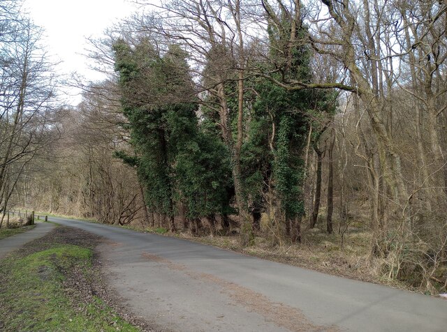
Hamilton Wood is a picturesque forest located in Clackmannanshire, Scotland. Covering an area of approximately 100 hectares, it is a popular destination for nature enthusiasts and outdoor lovers alike. The wood is situated near the village of Tillicoultry and is easily accessible from surrounding areas.
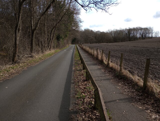
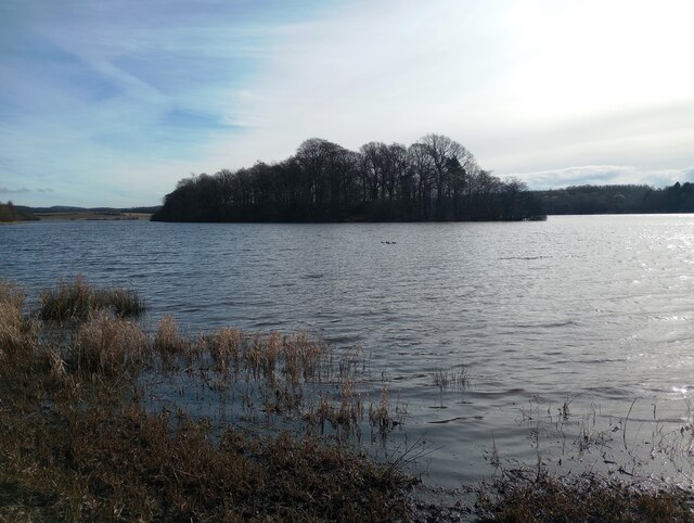
Hamilton Wood boasts a diverse range of trees, including beech, oak, and birch, creating a stunning and vibrant landscape. The forest is known for its tranquil atmosphere, providing visitors with a peaceful retreat away from the hustle and bustle of urban life. The dense canopy of trees offers shade during the warmer months, making it an ideal spot for picnics or leisurely walks.
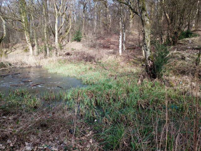
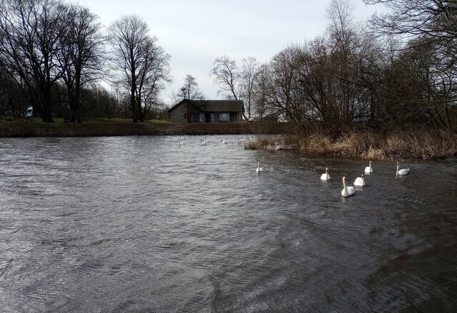
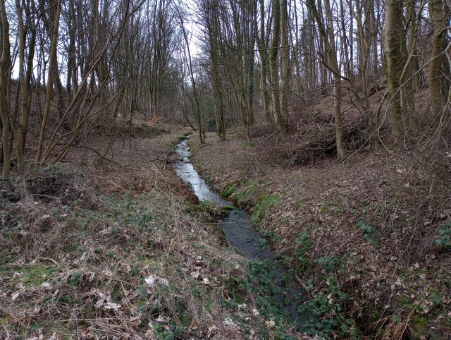
The wood is home to an array of wildlife, including various bird species, squirrels, and rabbits. Nature enthusiasts can enjoy spotting these creatures as they explore the woodland trails. The forest also features a small stream, which adds to the beauty and serenity of the surroundings.
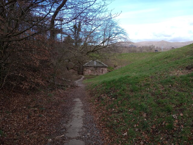
There are well-maintained paths throughout Hamilton Wood, allowing visitors to explore its different sections and enjoy the natural beauty at their own pace. Additionally, the wood offers a variety of recreational activities such as cycling, jogging, and horse riding, making it a popular destination for outdoor enthusiasts.
Overall, Hamilton Wood in Clackmannanshire is a scenic and tranquil forest that provides a wonderful escape into nature. With its diverse range of trees, wildlife, and recreational opportunities, it offers something for everyone seeking a peaceful and enjoyable outdoor experience.
If you have any feedback on the listing, please let us know in the comments section below.
Hamilton Wood Images
Images are sourced within 2km of 56.136011/-3.7569143 or Grid Reference NS9095. Thanks to Geograph Open Source API. All images are credited.


Hamilton Wood is located at Grid Ref: NS9095 (Lat: 56.136011, Lng: -3.7569143)
Unitary Authority: Clackmannanshire
Police Authority: Forth Valley
What 3 Words
///debit.cherish.extremely. Near Tillicoultry, Clackmannanshire
Nearby Locations
Related Wikis
Fishcross
Fishcross is a small village in Clackmannanshire in central Scotland, situated to the north of Sauchie at a crossroads just south of Tillicoultry. Formerly...

Glenfoot railway station
Glenfoot railway station was a temporary terminus that served the town of Tillicoultry, Clackmannanshire, Scotland in 1851 on the Devon Valley Railway...
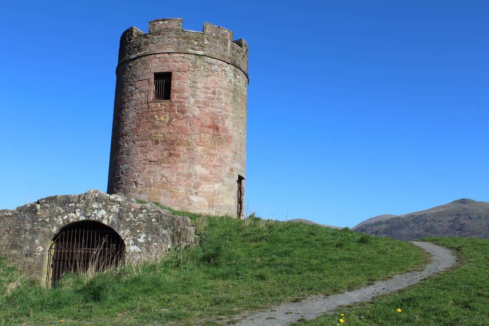
Auchinbaird Windmill
Auchinbaird Windmill or New Sauchie Windmill, was originally a late 17th or early 18th century vaulted tower grain windmill built into a low ridge located...
Sauchie railway station
Sauchie railway station served the town of Sauchie, Clackmannanshire, Scotland from 1873 to 1930 on the Devon Valley Railway. == History == The station...
Sauchie Juniors F.C.
Sauchie Juniors Football Club are a Scottish football club based in the village of Sauchie, Clackmannanshire. Their home ground is Beechwood Park and club...

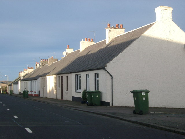
Coalsnaughton
Coalsnaughton or Calibar (Scottish Gaelic: Caolas Neachdainn) is a village in Clackmannanshire, Scotland. It is just south of Tillicoultry of which it...

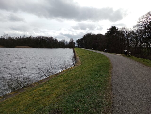
Gartmorn Dam
Gartmorn Dam is an artificial freshwater lake north-east of Alloa, Clackmannanshire, Scotland, UK, built in 1711-12 as a reservoir to supply water to hydraulic...
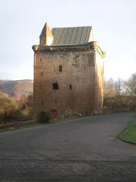
Sauchie Tower
Sauchie Tower, also known as Devon Tower, is a 15th-century tower house in Clackmannanshire, Scotland. The tower is located by the village of Fishcross...
Nearby Amenities
Located within 500m of 56.136011,-3.7569143Have you been to Hamilton Wood?
Leave your review of Hamilton Wood below (or comments, questions and feedback).