East Plantation
Wood, Forest in Stirlingshire
Scotland
East Plantation

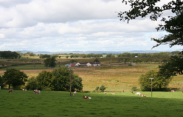
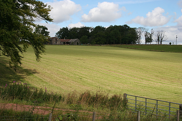
East Plantation is a picturesque woodland area located in Stirlingshire, Scotland. Known for its dense forests and natural beauty, it covers an expansive area of approximately 500 acres. The plantation is situated in the eastern part of Stirlingshire, in close proximity to the small village of Wood.
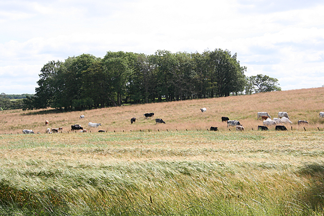
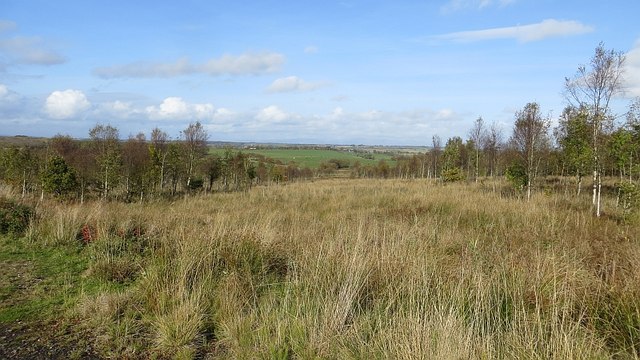
The landscape of East Plantation is characterized by a combination of mature trees, including oak, beech, and birch, which have created a diverse and thriving ecosystem. The forest is home to a variety of wildlife, such as deer, foxes, and an array of bird species, making it a popular destination for nature enthusiasts and birdwatchers.
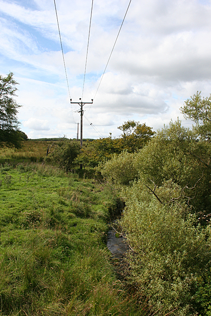
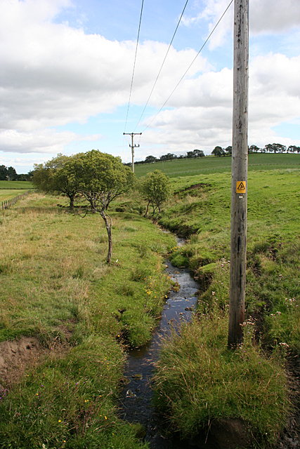
Visitors to East Plantation can explore a network of well-maintained walking trails that wind through the woodland, offering stunning views of the surrounding countryside. These trails cater to different fitness levels and provide opportunities for both leisurely strolls and more challenging hikes. Along the way, hikers can discover hidden waterfalls, tranquil ponds, and ancient ruins that add to the enchanting atmosphere of the area.
The plantation also serves as an important resource for the local community. It provides a sustainable source of timber for the forestry industry, contributing to the local economy. Additionally, East Plantation offers educational programs and workshops on forest management and conservation, ensuring the preservation of this natural treasure for future generations.
Overall, East Plantation in Stirlingshire is an idyllic woodland retreat, offering a serene escape from the hustle and bustle of everyday life. Its lush forests, abundant wildlife, and well-designed trails make it a haven for nature lovers and a valuable asset to the local community.
If you have any feedback on the listing, please let us know in the comments section below.
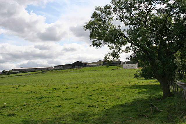
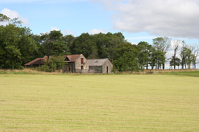
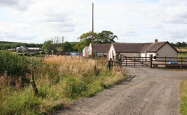
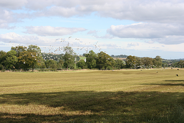
East Plantation Images
Images are sourced within 2km of 55.920957/-3.7560203 or Grid Reference NS9071. Thanks to Geograph Open Source API. All images are credited.


East Plantation is located at Grid Ref: NS9071 (Lat: 55.920957, Lng: -3.7560203)
Unitary Authority: Falkirk
Police Authority: Forth Valley
What 3 Words
///apply.blinks.rejoins. Near Blackridge, West Lothian
Nearby Locations
Related Wikis

Avonbridge
Avonbridge (Scottish Gaelic: Drochaid na h-Aibhne) is a small village which lies within the Falkirk council area of Scotland. The village is 4.8 miles...

Avonbridge railway station
Avonbridge railway station was a station on the Slamannan Railway. The line connected mines and villages in the Central Scotland. == History == Opened...
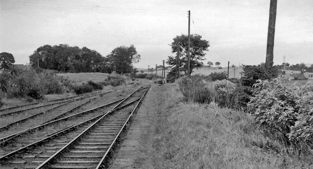
Blackston Junction railway station
Blackston Junction railway station served the area of Blackston, Falkirk, Scotland, from 1863 to 1963 on the Slamannan Railway. == History == The station...

Blawhorn Moss
Blawhorn Moss is a raised bog located to the northwest of the village of Blackridge, about 6 kilometres (3.7 mi) west of Armadale in the council area of...

Westfield, West Lothian
Westfield (Scottish Gaelic: an t-Achadh Siar) is a small village of around 180 houses located in the parish of Torphichen in West Lothian, Scotland....

Armadale Academy
Armadale Academy is a secondary school in Armadale, West Lothian. Opened in 1969, the academy moved to its current location in 2009. It is split into three...

Bridge Castle
Bridge Castle is an L-plan castle, dating from the 16th century, standing on a rocky site 3 miles (4.8 km) north west of Bathgate in West Lothian, Scotland...
Blackridge railway station
Blackridge railway station is a railway station on the North Clyde Line. It serves the village of Blackridge in West Lothian, Scotland. == History == The...
Nearby Amenities
Located within 500m of 55.920957,-3.7560203Have you been to East Plantation?
Leave your review of East Plantation below (or comments, questions and feedback).