Bennel Wood

Wood, Forest in Kirkcudbrightshire

Scotland

Bennel Wood

Dumfries and Galloway farmland Viewed from the B793
Dumfries and Galloway farmland Credit: Eirian Evans

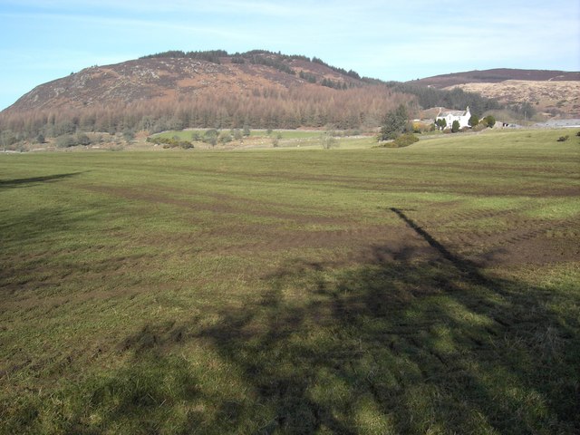
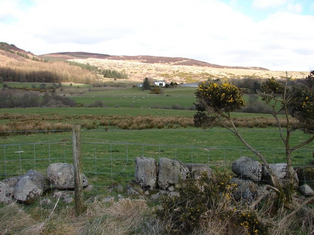
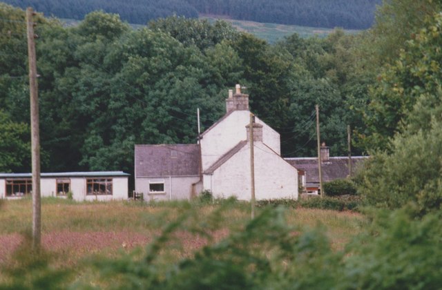
Bennel Wood is a picturesque forest located in the region of Kirkcudbrightshire in southwestern Scotland. Spanning an area of approximately 500 acres, the wood is renowned for its natural beauty and diverse range of flora and fauna. It is situated near the small village of Bennel, offering visitors a tranquil escape into nature.

The wood is predominantly composed of broad-leaved trees, including oak, beech, and ash, which create a dense canopy overhead. This canopy provides a habitat for various species of birds, such as woodpeckers and owls, as well as small mammals like red squirrels and badgers. The forest floor is carpeted with an array of wildflowers and ferns, adding to the wood's charm.

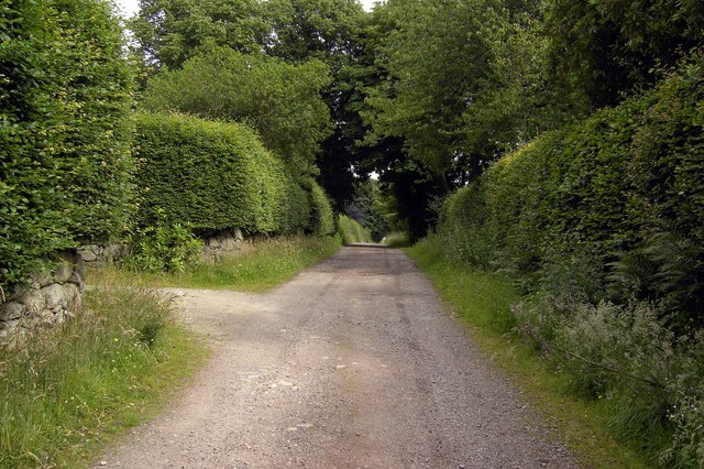
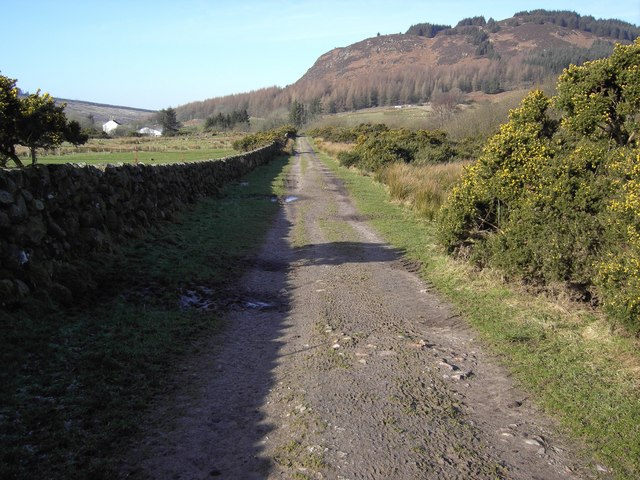
Several trails wind through Bennel Wood, offering hikers and nature enthusiasts the opportunity to explore its enchanting landscape. These trails vary in difficulty, catering to both casual walkers and more experienced trekkers. Along the paths, visitors can discover hidden streams, moss-covered rocks, and even the occasional waterfall, making each journey through the wood a unique experience.

Bennel Wood also holds historical significance, with remnants of ancient settlements and stone circles scattered throughout the area. These relics provide a glimpse into the wood's past and the lives of those who once inhabited the region.

Overall, Bennel Wood is a captivating destination for individuals seeking a serene environment to connect with nature. Its rich biodiversity, well-maintained trails, and historical significance make it a popular attraction for both locals and tourists alike.

If you have any feedback on the listing, please let us know in the comments section below.
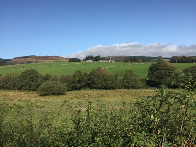
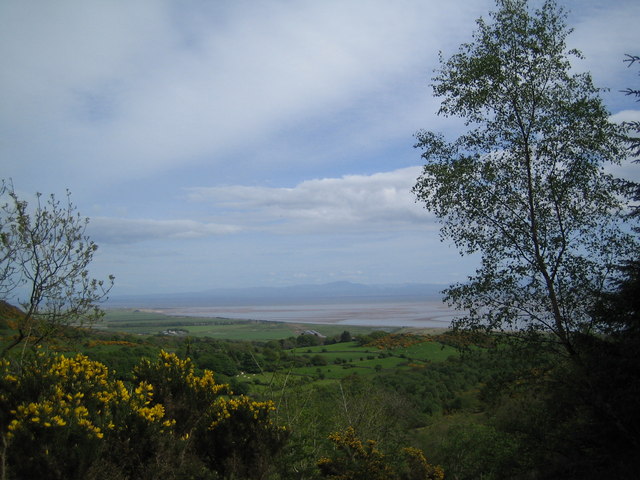
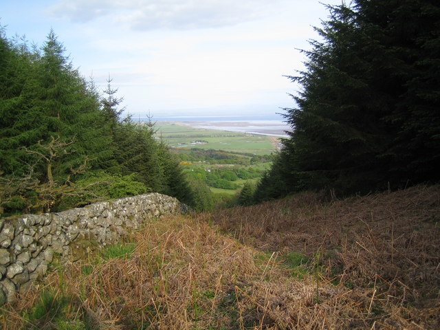
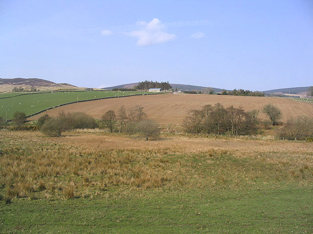
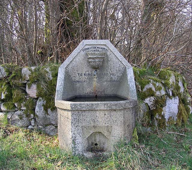
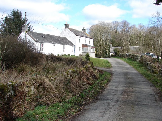
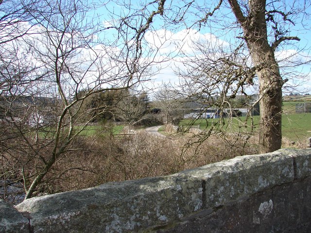
Bennel Wood Images

Images are sourced within 2km of 54.912545/-3.7166194 or Grid Reference NX9058. Thanks to Geograph Open Source API. All images are credited.

Dumfries and Galloway farmland Viewed from the B793
Dumfries and Galloway farmland
Viewed from the B793
Cattle grazing near Bogfoot
View towards Mersehead Sands, Solway Firth The picture of Mersehead Sands was taken whilst ascending Bainloch Hill.
View towards Mersehead Sands, Solway Firth
The picture of Mersehead Sands was taken whilst ascending Bainloch Hill.
View down the firebreak to the Solway Firth
Castle Farm Viewed from the B793.
Castle Farm
Viewed from the B793.
Mixed farmland Viewed from the B793 with Glensone Farm in the background.
Mixed farmland
Viewed from the B793 with Glensone Farm in the background.
Coronation Memorial Fountain Dated 1902 to King Edward VII and erected by Colonel Mackenzie of Auchenskeoch. By the side of the B793.
Coronation Memorial Fountain
Dated 1902 to King Edward VII and erected by Colonel Mackenzie of Auchenskeoch. By the side of the B793.
Cock Pheasant
Cock Pheasant
Castle Farm Sign Many of the farm signs in this area are highly individual - fun representations of the farms they signify.
Castle Farm Sign
Many of the farm signs in this area are highly individual - fun representations of the farms they signify.
Ryes Farm, Caulkerbush Ryes Farmhouse, situated in Boreland north of Caulkerbush
Ryes Farm, Caulkerbush
Ryes Farmhouse, situated in Boreland north of Caulkerbush
Bogfoot, Caulkerbush Bogfoot farm, situated above Southwick Burn near Bogknowe Bridge on B793.
Bogfoot, Caulkerbush
Bogfoot farm, situated above Southwick Burn near Bogknowe Bridge on B793.
Ryes Farm from Boreland Bridge View through trees from Boreland Bridge (over the Boreland Burn) of Ryes Farm buildings.
Ryes Farm from Boreland Bridge
View through trees from Boreland Bridge (over the Boreland Burn) of Ryes Farm buildings.
Clonyard Farm Isolated hill farm enclosed by Hawthorn Hill and Clonyard Wood.  The farm retains some old farm buildings including a horse engine shed (right of photograph).
Clonyard Farm
Isolated hill farm enclosed by Hawthorn Hill and Clonyard Wood. The farm retains some old farm buildings including a horse engine shed (right of photograph).
Track to White Croft The rough track which runs behind Auchenskeoch Lodge along to White Croft.
Track to White Croft
The rough track which runs behind Auchenskeoch Lodge along to White Croft.
Round Fell Roundfell Farm with Round Fell behind.
Round Fell
Roundfell Farm with Round Fell behind.
Farm Track A rough farm track leads towards Roundfell Farm.
Farm Track
A rough farm track leads towards Roundfell Farm.
Roundfell Farm View of Roundfell Farm from Walltrees on the Auchenskeoch-Bargrug lane.
Roundfell Farm
View of Roundfell Farm from Walltrees on the Auchenskeoch-Bargrug lane.
Bogfoot, near Glensone
Show me another place!

Bennel Wood is located at Grid Ref: NX9058 (Lat: 54.912545, Lng: -3.7166194)

Unitary Authority: Dumfries and Galloway

Police Authority: Dumfries and Galloway

What 3 Words

///greet.tasks.rinsed. Near Dalbeattie, Dumfries & Galloway

Related Wikis

Colvend and Southwick

Colvend and Southwick is a community council area and civil parish within the Stewartry area of Dumfries and Galloway, Scotland. It is also part of the...

Criffel

Criffel is a hill in the historical county of Kirkcudbrightshire, Dumfries and Galloway, south-west Scotland. It is 570 m (1,870 ft) high but appears higher...

Southwick railway station (Scotland)

Southwick (Dumfries & Galloway) railway station served the civil parish of Colvend and Southwick, Dumfries and Galloway, Scotland from 1859 to 1965 on...

Dalbeattie Star F.C.

Dalbeattie Star Football Club is a Scottish association football club based in Dalbeattie, Dumfries and Galloway. It currently competes in the South of...

Nearby Amenities

Located within 500m of 54.912545,-3.7166194
Post Box
Ref: DG5 7
Source: Flickr
Lat/Long: 54.9157492/-3.7169146
Power: pole
Lat/Long: 54.9153276/-3.7226703
Power: pole
Lat/Long: 54.9151947/-3.721249
Power: pole
Lat/Long: 54.9150862/-3.7202413
Power: pole
Lat/Long: 54.9149655/-3.7191148
Power: pole
Lat/Long: 54.9148618/-3.7179841
Power: pole
Lat/Long: 54.9150435/-3.7171122
Power: pole
Lat/Long: 54.9152886/-3.7161321
Power: pole
Lat/Long: 54.9155227/-3.7151647
Power: pole
Lat/Long: 54.9157239/-3.7142418
Power: pole
Lat/Long: 54.9159239/-3.7133721
Power: pole
Lat/Long: 54.9164275/-3.7137539
Power: pole
Lat/Long: 54.9153728/-3.7129753
Power: pole
Lat/Long: 54.9147887/-3.7125511
Power: pole
Lat/Long: 54.9142351/-3.7123241
Power: pole
Lat/Long: 54.9136339/-3.7120928
Power: pole
Lat/Long: 54.9130278/-3.7118743
Power: pole
Lat/Long: 54.9124047/-3.7116261
Power: pole
Lat/Long: 54.9116133/-3.7116685
Power: pole
Lat/Long: 54.9109011/-3.7117279
Power: pole
Lat/Long: 54.9101486/-3.7117788
Power: pole
Lat/Long: 54.9093571/-3.7118361
Power: pole
Lat/Long: 54.912212/-3.7107563
Power: pole
Lat/Long: 54.9120657/-3.7100562
The data included in this document is from www.openstreetmap.org. The data is made available under ODbL.

Have you been to Bennel Wood?

Leave your review of Bennel Wood below (or comments, questions and feedback).