The Strip

Wood, Forest in Perthshire

Scotland

The Strip

A9 approaching Blackford The A9 is a strategic link between the Highlands of Scotland and the Central Belt. It runs 279 miles from junction 5 of the M9 at Polmont to Scrabster. Originally it ran from Edinburgh.
<span class="nowrap"><a title="https://www.sabre-roads.org.uk/wiki/index.php?title=A9" rel="nofollow ugc noopener" href="https://www.sabre-roads.org.uk/wiki/index.php?title=A9">Link</a><img style="margin-left:2px;" alt="External link" title="External link - shift click to open in new window" src="https://s1.geograph.org.uk/img/external.png" width="10" height="10"/></span>
A9 approaching Blackford Credit: N Chadwick

The Strip, Perthshire, also known as Wood or Forest, is a picturesque area located in the heart of Scotland. It is nestled within the stunning Perthshire countryside, renowned for its abundant natural beauty. The Strip is a haven for nature enthusiasts and outdoor adventurers alike.

This woodland area stretches over several miles, offering a diverse range of flora and fauna. The dense forest is primarily composed of tall and majestic pine trees, providing a serene and tranquil atmosphere for visitors. The Strip is particularly popular among hikers and walkers, who can explore its numerous trails and pathways, immersing themselves in the peaceful surroundings.

Wildlife is abundant in The Strip, with a variety of species calling it their home. Visitors may encounter deer, rabbits, squirrels, and a rich assortment of birdlife during their explorations. The forest also boasts a wide range of plant life, including ferns, mosses, and wildflowers. It is a true paradise for nature lovers and photographers.

In addition to its natural beauty, The Strip offers a range of recreational activities. There are designated picnic areas for families and friends to enjoy a meal amidst the enchanting surroundings. Additionally, the forest has areas designated for camping, allowing visitors to experience a night under the stars.

Overall, The Strip in Perthshire is a captivating woodland area that showcases the best of Scotland's natural beauty. It provides a peaceful retreat for those seeking solace in nature, along with a range of recreational opportunities for all to enjoy.

If you have any feedback on the listing, please let us know in the comments section below.

The Strip Images

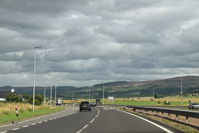
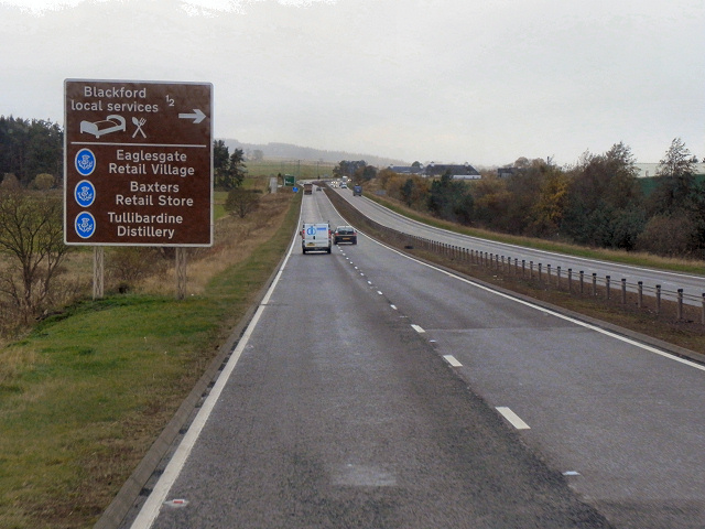
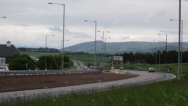
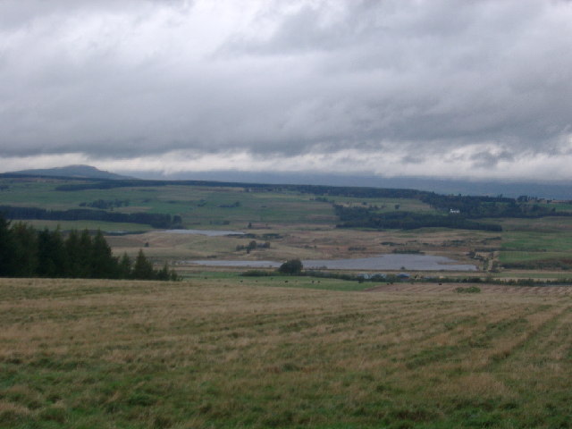
Images are sourced within 2km of 56.248072/-3.7766676 or Grid Reference NN9007. Thanks to Geograph Open Source API. All images are credited.

A9 approaching Blackford The A9 is a strategic link between the Highlands of Scotland and the Central Belt. It runs 279 miles from junction 5 of the M9 at Polmont to Scrabster. Originally it ran from Edinburgh.
<span class="nowrap"><a title="https://www.sabre-roads.org.uk/wiki/index.php?title=A9" rel="nofollow ugc noopener" href="https://www.sabre-roads.org.uk/wiki/index.php?title=A9">Link</a><img style="margin-left:2px;" alt="External link" title="External link - shift click to open in new window" src="https://s1.geograph.org.uk/img/external.png" width="10" height="10"/></span>
A9 approaching Blackford
The A9 is a strategic link between the Highlands of Scotland and the Central Belt. It runs 279 miles from junction 5 of the M9 at Polmont to Scrabster. Originally it ran from Edinburgh. LinkExternal link
Blackford turning, A9 The A9 is a strategic link between the Highlands of Scotland and the Central Belt. It runs 279 miles from junction 5 of the M9 at Polmont to Scrabster. Originally it ran from Edinburgh.
<span class="nowrap"><a title="https://www.sabre-roads.org.uk/wiki/index.php?title=A9" rel="nofollow ugc noopener" href="https://www.sabre-roads.org.uk/wiki/index.php?title=A9">Link</a><img style="margin-left:2px;" alt="External link" title="External link - shift click to open in new window" src="https://s1.geograph.org.uk/img/external.png" width="10" height="10"/></span>
Blackford turning, A9
The A9 is a strategic link between the Highlands of Scotland and the Central Belt. It runs 279 miles from junction 5 of the M9 at Polmont to Scrabster. Originally it ran from Edinburgh. LinkExternal link
A9, northbound The A9 is a strategic link between the Highlands of Scotland and the Central Belt. It runs 279 miles from junction 5 of the M9 at Polmont to Scrabster. Originally it ran from Edinburgh.
<span class="nowrap"><a title="https://www.sabre-roads.org.uk/wiki/index.php?title=A9" rel="nofollow ugc noopener" href="https://www.sabre-roads.org.uk/wiki/index.php?title=A9">Link</a><img style="margin-left:2px;" alt="External link" title="External link - shift click to open in new window" src="https://s1.geograph.org.uk/img/external.png" width="10" height="10"/></span>
A9, northbound
The A9 is a strategic link between the Highlands of Scotland and the Central Belt. It runs 279 miles from junction 5 of the M9 at Polmont to Scrabster. Originally it ran from Edinburgh. LinkExternal link
Car park at Eaglesgate Shopping Centre
"The Strip" Local name given to this long, thin plantation running adjacent to the Back Burn.
"The Strip"
Local name given to this long, thin plantation running adjacent to the Back Burn.
Unclassified Road From Blackford over the moor to Sheriffmuir this is the way ahead in the rain!
Unclassified Road
From Blackford over the moor to Sheriffmuir this is the way ahead in the rain!
Parallel roads In the foreground is a single-track farm road - a white diamond can be seen marking a passing place. Beyond is the dual carriageway A9, with the green buildings of the Highland Spring bottling plant on the other side. The picture was taken from the start of the footpath to Tillicoultry.
Parallel roads
In the foreground is a single-track farm road - a white diamond can be seen marking a passing place. Beyond is the dual carriageway A9, with the green buildings of the Highland Spring bottling plant on the other side. The picture was taken from the start of the footpath to Tillicoultry.
View from Tillicoultry track As the track starts to climb nearer the Ochils good views open up northwards. Unfortunately today's view was rather hazy due to damp weather.
View from Tillicoultry track
As the track starts to climb nearer the Ochils good views open up northwards. Unfortunately today's view was rather hazy due to damp weather.
A9 Near Blackford The southbound A9, near Blackford.
A9 Near Blackford
The southbound A9, near Blackford.
A9, Approaching the Blackford Turnoff The A9 is a strategic link between the Highlands of Scotland and the Central Belt. Running for 273 miles, it is the longest road in Scotland and the fifth-longest A-road in the United Kingdom. Historically it was the main road between Edinburgh and John o' Groats but its importance has been eclipsed somewhat in the south by the A90 across the Forth Road Bridge and the M90 motorway, which now links Edinburgh more directly with Perth, and the M9, which is now the main road between Edinburgh and Bridge of Allan.
A9, Approaching the Blackford Turnoff
The A9 is a strategic link between the Highlands of Scotland and the Central Belt. Running for 273 miles, it is the longest road in Scotland and the fifth-longest A-road in the United Kingdom. Historically it was the main road between Edinburgh and John o' Groats but its importance has been eclipsed somewhat in the south by the A90 across the Forth Road Bridge and the M90 motorway, which now links Edinburgh more directly with Perth, and the M9, which is now the main road between Edinburgh and Bridge of Allan.
Northern side of the Ochil Hills Sheep on grass pasture near Blackford.
Northern side of the Ochil Hills
Sheep on grass pasture near Blackford.
The Sheriff Muir road The single track road runs over Sheriff Muir and makes a slow but scenic alternative to the A9.
The Sheriff Muir road
The single track road runs over Sheriff Muir and makes a slow but scenic alternative to the A9.
Farm road near Blackford This road makes a sane alternative to the A9 as long as you don't mind lifting a bike over a gate. It was flooded here.
Many of the farm access roads here have been blocked with earthbanks.
Farm road near Blackford
This road makes a sane alternative to the A9 as long as you don't mind lifting a bike over a gate. It was flooded here. Many of the farm access roads here have been blocked with earthbanks.
A9, Blackford The road passes a shopping centre bolted on to a distillery.
A9, Blackford
The road passes a shopping centre bolted on to a distillery.
Arable land near Longfauld The tree may mark the site of an old field boundary.
Arable land near Longfauld
The tree may mark the site of an old field boundary.
Approaching Blackford Turn off A9 north
Approaching Blackford Turn off
A9 north
Stream through Tullibardine Distillery Visitor centre At the south end, part of the Baxters unit can be seen
Stream through Tullibardine Distillery Visitor centre
At the south end, part of the Baxters unit can be seen
Show me another place!

The Strip is located at Grid Ref: NN9007 (Lat: 56.248072, Lng: -3.7766676)

Unitary Authority: Perth and Kinross

Police Authority: Tayside

What 3 Words

///stood.splinters.workroom. Near Auchterarder, Perth & Kinross

Nearby Locations

The Strip

Related Wikis

Tullibardine distillery

Tullibardine distillery is a Scottish distillery since 1949, producing a single malt whisky. The whisky distillery is located in Blackford, Perth and Kinross...

Blackford, Perth and Kinross

Blackford (Scottish Gaelic: Srath Gaoithe) is located in Perth and Kinross, Scotland, approximately 5 miles (8 kilometres) from the town of Auchterarder...

Blackford railway station

Blackford railway station served the village of Blackford, Perth and Kinross, Scotland from 1848 to 1956 on the Scottish Central Railway. == History... ==

Carsbreck railway station

Carsbreck railway station was a private station opened on the Scottish Central Railway near Carsebreck Loch, the Royal Caledonian Curling pond, between...

Nearby Amenities

Located within 500m of 56.248072,-3.7766676
Power: pole
Lat/Long: 56.2474774/-3.7845604
Power: pole
Lat/Long: 56.247882/-3.7834704
Power: pole
Lat/Long: 56.2481664/-3.7823246
Power: pole
Lat/Long: 56.2484864/-3.7810332
Power: pole
Lat/Long: 56.248822/-3.779684
Power: pole
Lat/Long: 56.2491551/-3.7783327
Power: pole
Lat/Long: 56.2492051/-3.7775831
The data included in this document is from www.openstreetmap.org. The data is made available under ODbL.

Have you been to The Strip?

Leave your review of The Strip below (or comments, questions and feedback).