Caerlaverock Wood
Wood, Forest in Perthshire
Scotland
Caerlaverock Wood

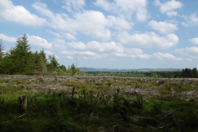
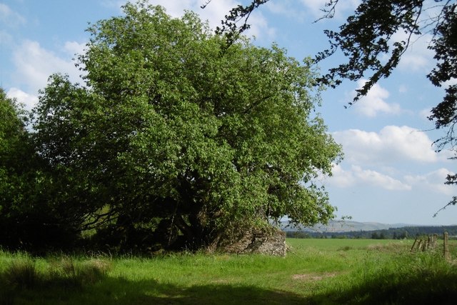
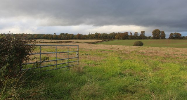
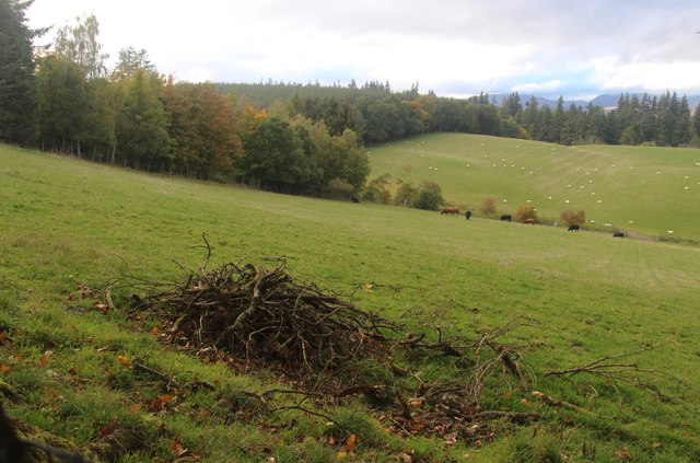
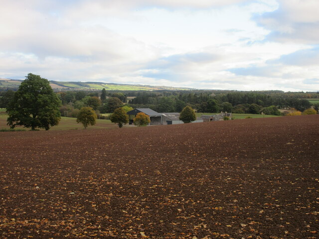
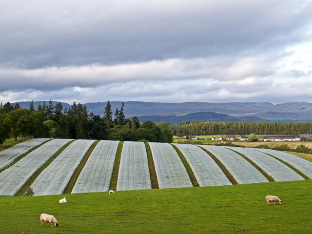
Caerlaverock Wood is a beautiful and sprawling forest located in Perthshire, Scotland. Covering an area of approximately 300 acres, this wood is a haven for nature lovers and outdoor enthusiasts alike. The forest is home to a diverse range of flora and fauna, including native species such as oak, birch, and pine trees, as well as a variety of wildlife like red squirrels, deer, and various bird species.
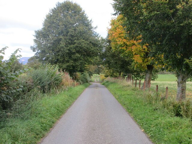
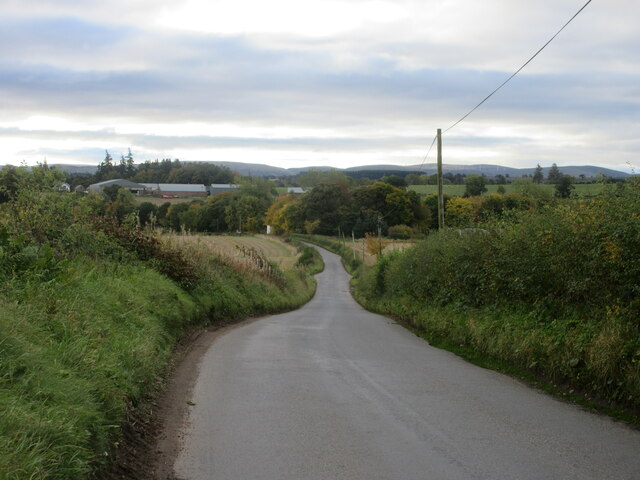
Visitors to Caerlaverock Wood can enjoy a network of well-maintained walking trails that wind through the forest, offering stunning views of the surrounding countryside and opportunities to spot wildlife along the way. The wood is also a popular spot for birdwatching, with several species of birds nesting and feeding in the area.
In addition to its natural beauty, Caerlaverock Wood also has a rich history, with evidence of ancient settlements and archaeological sites scattered throughout the forest. The wood is a designated Site of Special Scientific Interest, highlighting its importance for conservation and biodiversity.
Overall, Caerlaverock Wood is a peaceful and picturesque destination that offers visitors a chance to connect with nature and explore the beauty of the Scottish countryside.
If you have any feedback on the listing, please let us know in the comments section below.
Caerlaverock Wood Images
Images are sourced within 2km of 56.329928/-3.7870692 or Grid Reference NN8916. Thanks to Geograph Open Source API. All images are credited.


Caerlaverock Wood is located at Grid Ref: NN8916 (Lat: 56.329928, Lng: -3.7870692)
Unitary Authority: Perth and Kinross
Police Authority: Tayside
What 3 Words
///delight.veered.broth. Near Crieff, Perth & Kinross
Nearby Locations
Related Wikis

Muthill railway station
Muthill railway station served the village of Muthill in Scotland. The station is now the premises of James Haggart & Sons LTD (A potato grower and exporter...

Strageath
Strageath is a Roman camp near the River Earn in eastern Scotland. Strageath was one of a chain of camps that the Romans used in their march northward...
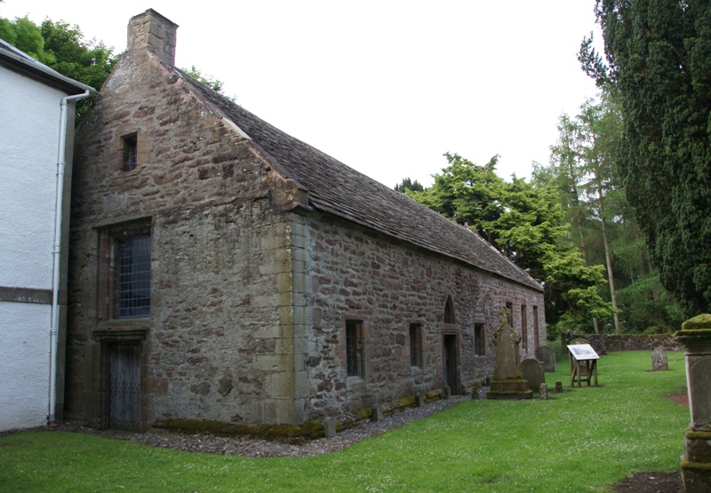
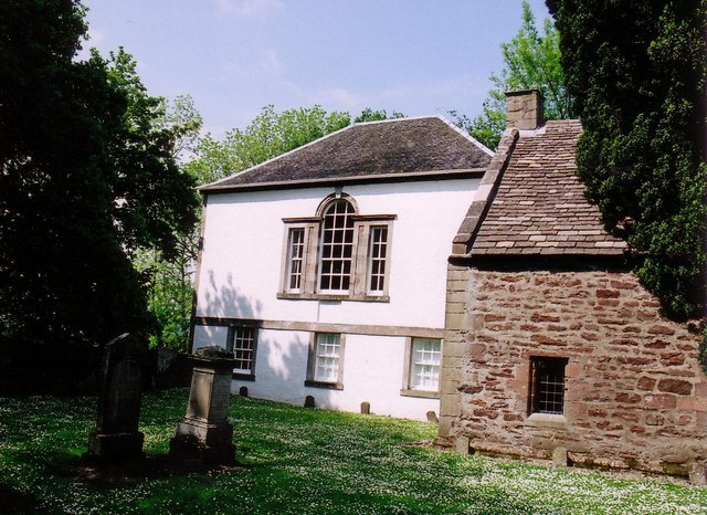
Innerpeffray Collegiate Church
Innerpeffray Collegiate Church is an ancient church building in Innerpeffray, Perth and Kinross, Scotland. Dating to 1508, it is now a scheduled monument...
Innerpeffray
Innerpeffray is a hamlet in Perthshire, Scotland, 4 miles (6.4 km) southeast of Crieff. It is located on a raised promontory among beech woodland above...
Nearby Amenities
Located within 500m of 56.329928,-3.7870692Have you been to Caerlaverock Wood?
Leave your review of Caerlaverock Wood below (or comments, questions and feedback).