Carron
Settlement in Stirlingshire
Scotland
Carron
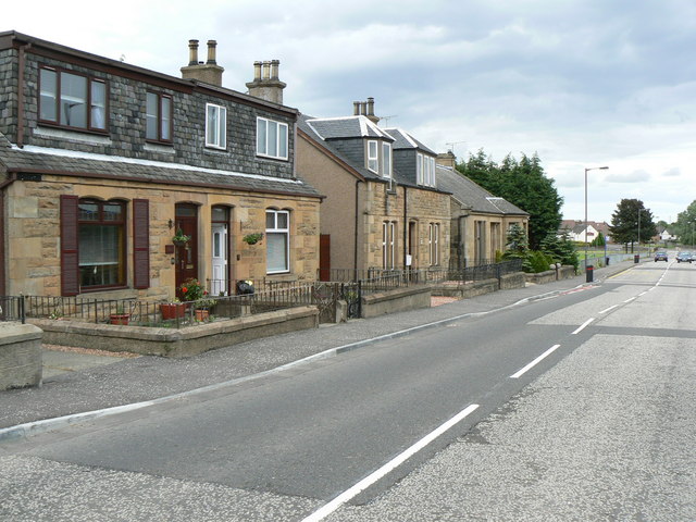
Carron is a small village located in Stirlingshire, Scotland. It lies approximately two miles southeast of Falkirk and six miles northeast of Stirling. The village is situated on the southern bank of the River Carron, which flows through the area, giving it its name.
Carron has a rich industrial history, particularly in iron founding. It was in this village that the famous Carron Company was established in 1759. The company played a significant role in the Industrial Revolution, producing a wide range of goods, including cannons, stoves, and steam engines. The Carronade, a short-range naval cannon, was one of the company's most notable inventions.
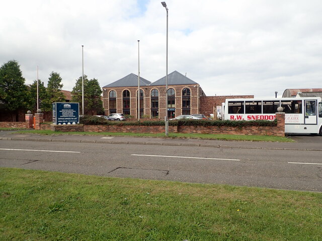
Today, Carron retains much of its historical character and charm. Visitors can explore the remnants of the Carron Company, including the iconic Carron Works, which now serves as a heritage center and museum. The village also boasts several historic buildings, such as the Carron Church, built in 1826, and Carron House, a Georgian mansion dating back to the 18th century.
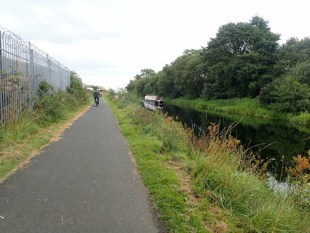
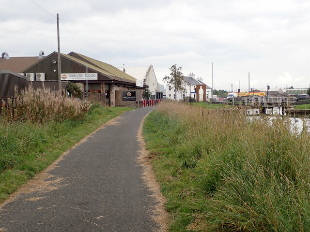
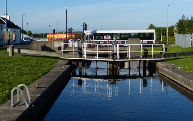
In addition to its historical significance, Carron offers a peaceful and picturesque setting. The surrounding countryside provides opportunities for outdoor activities such as walking, cycling, and fishing. The nearby Falkirk Wheel, a unique rotating boat lift, is a popular tourist attraction and offers boat trips along the Forth and Clyde Canal.
Overall, Carron is a place that combines a fascinating industrial heritage with natural beauty, making it an appealing destination for history enthusiasts and those seeking a tranquil escape.
If you have any feedback on the listing, please let us know in the comments section below.
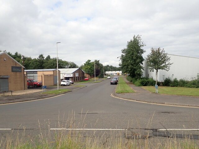
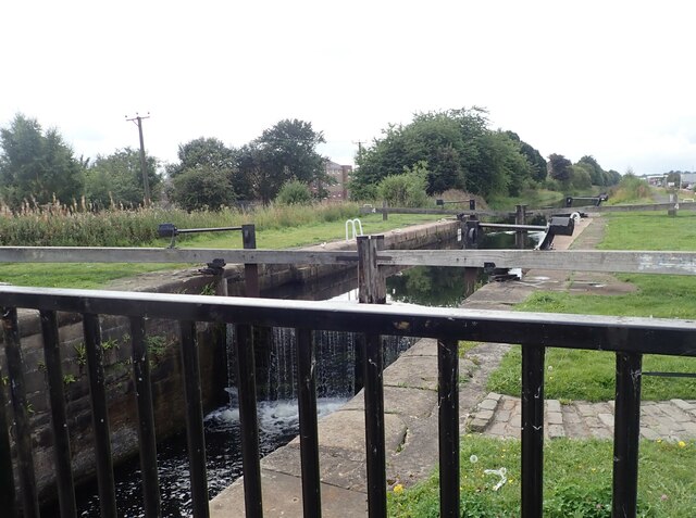
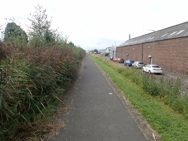
Carron Images
Images are sourced within 2km of 56.024452/-3.793734 or Grid Reference NS8882. Thanks to Geograph Open Source API. All images are credited.


Carron is located at Grid Ref: NS8882 (Lat: 56.024452, Lng: -3.793734)
Unitary Authority: Falkirk
Police Authority: Forth Valley
What 3 Words
///entitle.larger.gazes. Near Carron, Falkirk
Nearby Locations
Related Wikis
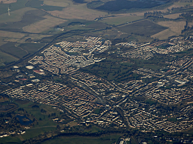
Carron, Falkirk
Carron (Scottish Gaelic: Carrann) is a village in the Falkirk council area of Scotland. It is in the Forth Valley, about 2 miles (3.2 km) north of Falkirk...
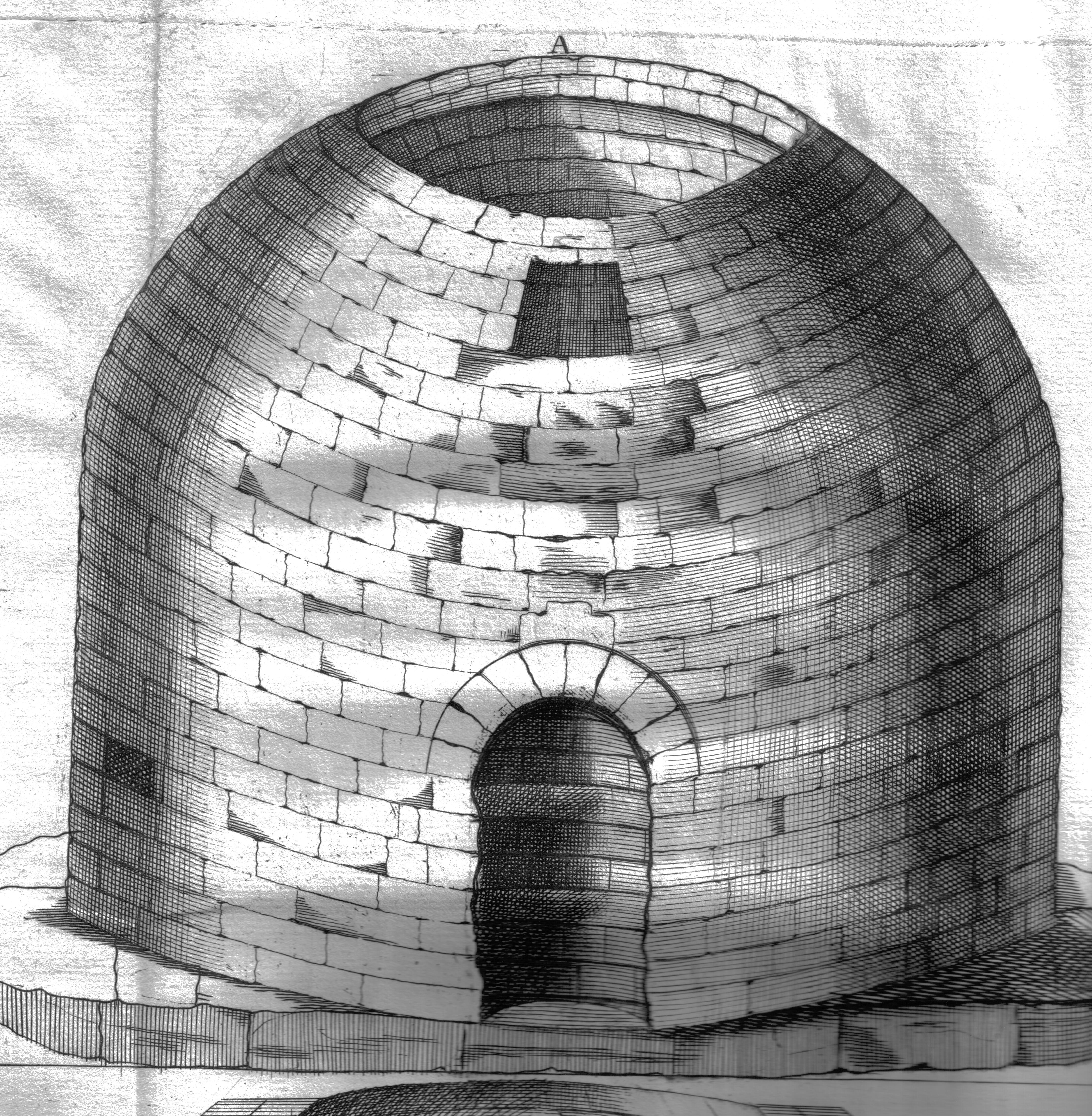
Arthur's O'on
Arthur's O'on (Scots: Oven) was a stone building thought to be Roman temple that, until 1743, stood on rising ground above the north bank of the River...
Stenhousemuir
Stenhousemuir (; Scottish Gaelic: Featha Thaigh nan Clach) is a town in the Central Lowlands of Scotland. It lies within the Falkirk council area of Scotland...

Larbert High School
Larbert High School is a six-year, non-denominational state school in Stenhousemuir, Scotland, United Kingdom (UK). The school is run by Falkirk Council...
Nearby Amenities
Located within 500m of 56.024452,-3.793734Have you been to Carron?
Leave your review of Carron below (or comments, questions and feedback).