Hennings Wood
Wood, Forest in Clackmannanshire
Scotland
Hennings Wood

Hennings Wood is a picturesque forest located in Clackmannanshire, Scotland. Covering an area of approximately 100 acres, it is situated near the village of Tillicoultry, offering visitors a tranquil and serene natural environment.
The wood is primarily composed of mixed broadleaf trees, including oak, birch, and beech, which create a dense canopy that provides shade and shelter for a variety of wildlife. The forest floor is carpeted with a diverse range of plants and wildflowers, adding to the beauty and biodiversity of the area.
Hennings Wood is a popular destination for nature enthusiasts and outdoor lovers who enjoy walking, hiking, and birdwatching. Several well-maintained trails wind through the forest, offering visitors the opportunity to explore its natural wonders at their own pace. The paths are suitable for all abilities and are clearly signposted, ensuring a safe and enjoyable experience for visitors of all ages.
The forest is home to a rich array of wildlife, including deer, foxes, badgers, and a wide variety of bird species. Birdwatchers can spot woodpeckers, owls, and even the elusive red kite soaring above the treetops.
Hennings Wood is not only a haven for wildlife but also provides a peaceful retreat for visitors seeking solitude and relaxation. Throughout the year, the forest displays a stunning array of colors, from the fresh greens of spring to the vibrant hues of autumn, making it a truly enchanting destination in any season.
Overall, Hennings Wood in Clackmannanshire is a natural gem, offering a wonderful opportunity to connect with nature and experience the beauty and tranquility of the Scottish countryside.
If you have any feedback on the listing, please let us know in the comments section below.
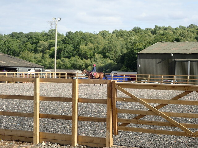
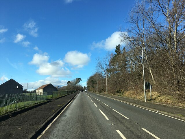
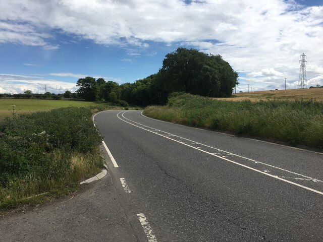
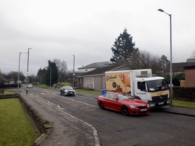
Hennings Wood Images
Images are sourced within 2km of 56.139922/-3.7837453 or Grid Reference NS8995. Thanks to Geograph Open Source API. All images are credited.


Hennings Wood is located at Grid Ref: NS8995 (Lat: 56.139922, Lng: -3.7837453)
Unitary Authority: Clackmannanshire
Police Authority: Forth Valley
What 3 Words
///mixer.divisible.clustered. Near Alva, Clackmannanshire
Nearby Locations
Related Wikis
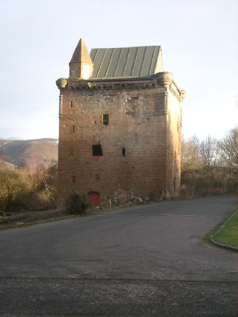
Sauchie Tower
Sauchie Tower, also known as Devon Tower, is a 15th-century tower house in Clackmannanshire, Scotland. The tower is located by the village of Fishcross...

Sauchie railway station
Sauchie railway station served the town of Sauchie, Clackmannanshire, Scotland from 1873 to 1930 on the Devon Valley Railway. == History == The station...
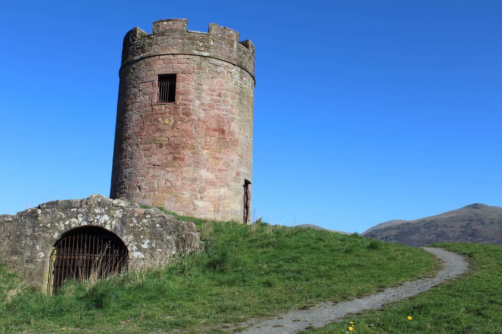
Auchinbaird Windmill
Auchinbaird Windmill or New Sauchie Windmill, was originally a late 17th or early 18th century vaulted tower grain windmill built into a low ridge located...
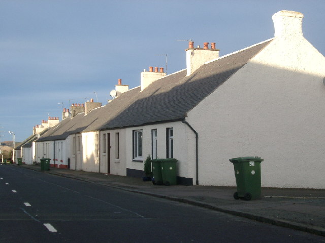
Fishcross
Fishcross is a small village in Clackmannanshire in central Scotland, situated to the north of Sauchie at a crossroads just south of Tillicoultry. Formerly...
Harviestoun Brewery
Harviestoun Brewery is a craft brewery based in Alva in Clackmannanshire, Scotland. == History == Harviestoun Brewery was founded in 1983 by Ken Brooker...
Sauchie Juniors F.C.
Sauchie Juniors Football Club are a Scottish football club based in the village of Sauchie, Clackmannanshire. Their home ground is Beechwood Park and club...
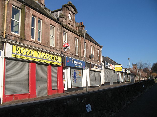
Sauchie
Sauchie is a town in the Central Lowlands of Scotland. It lies north of the River Forth and south of the Ochil Hills, within the council area of Clackmannanshire...

Alva railway station
Alva railway station was a station in the village of Alva, in the Scottish county of Clackmannanshire. The station was the terminus of a branch from Cambus...
Nearby Amenities
Located within 500m of 56.139922,-3.7837453Have you been to Hennings Wood?
Leave your review of Hennings Wood below (or comments, questions and feedback).