Back Wood

Wood, Forest in Kirkcudbrightshire

Scotland

Back Wood

Dalquhairn and See Morris Dalquhairn Hill and See Morris Hill seen from Steilston Hill.
Dalquhairn and See Morris Credit: Richard Webb

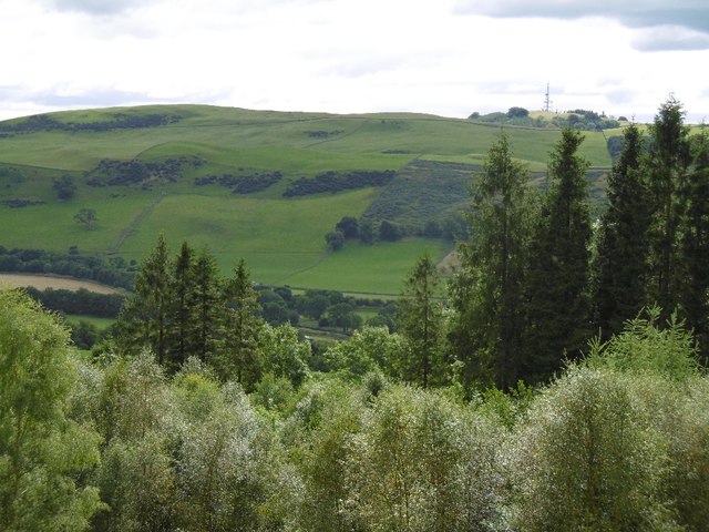
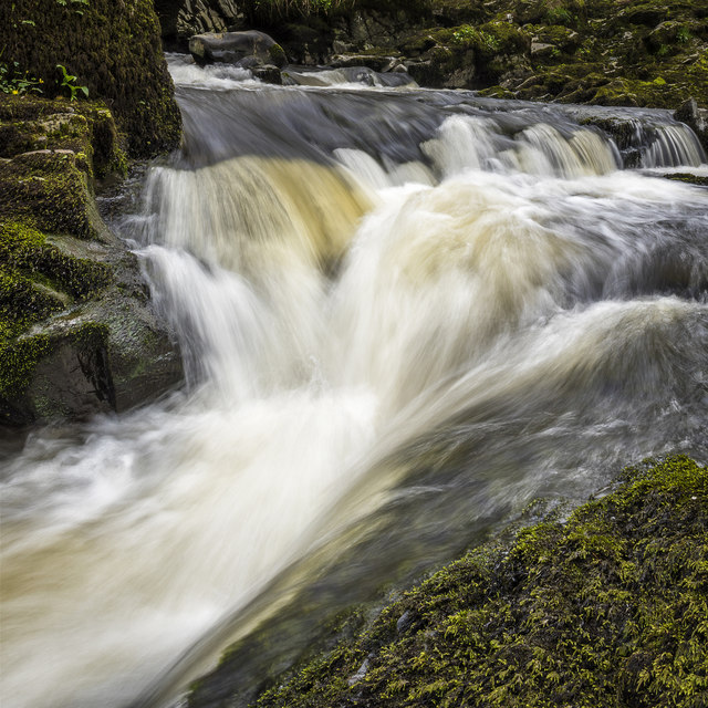
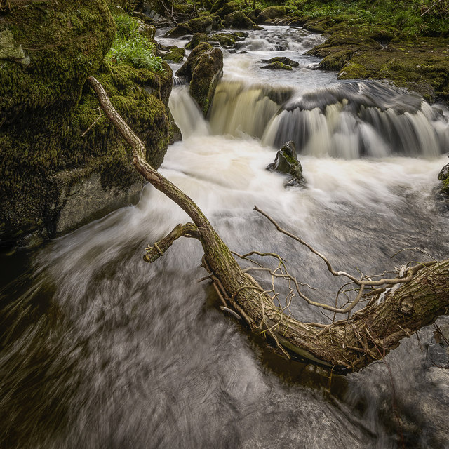
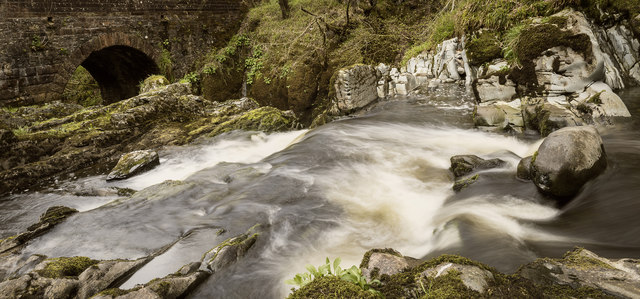
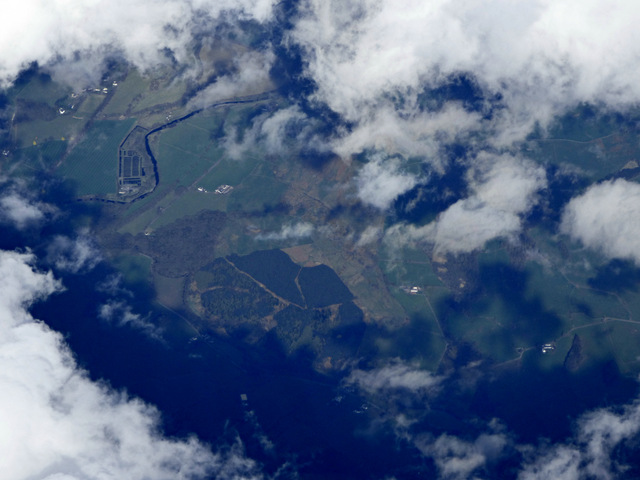
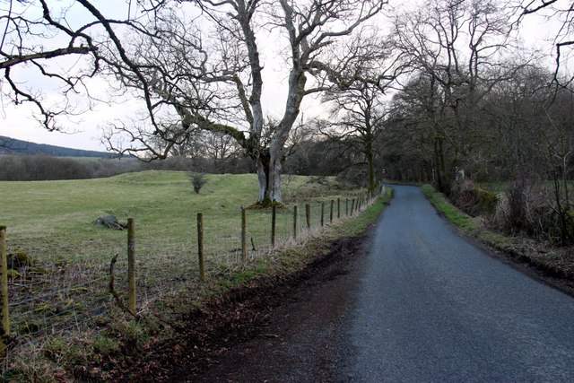
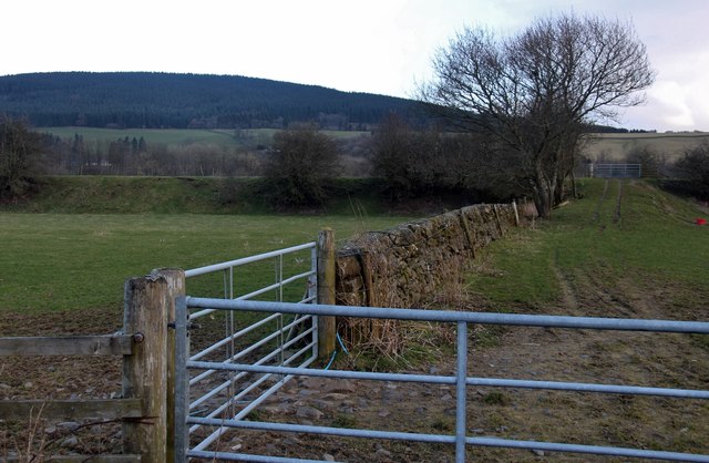
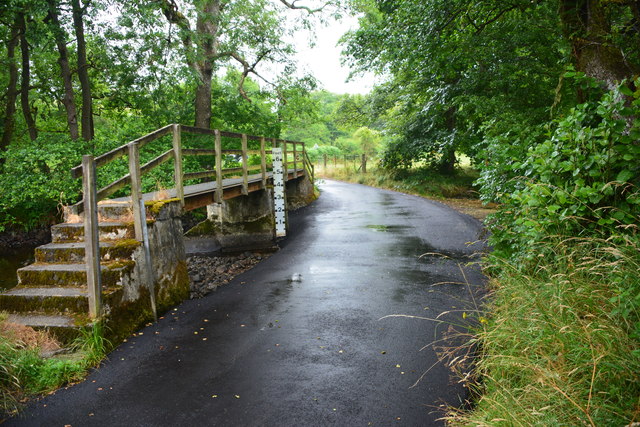
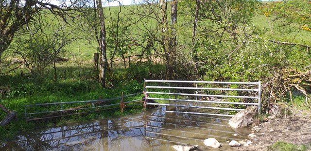
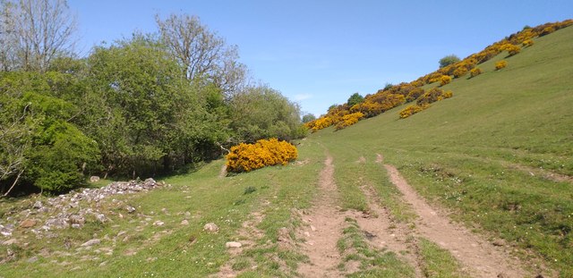
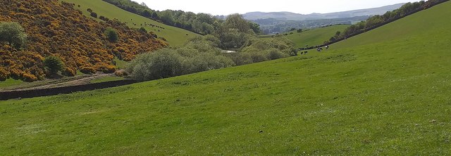
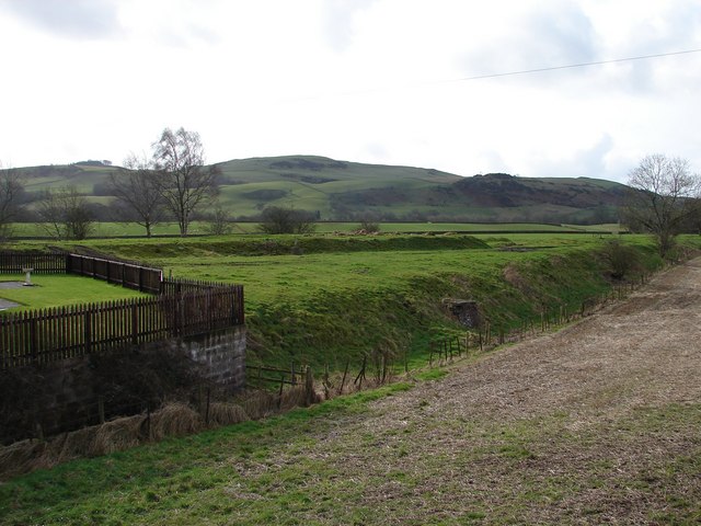
Back Wood is a picturesque forest located in Kirkcudbrightshire, Scotland. Covering an area of approximately 300 acres, the wood is a popular destination for nature enthusiasts and hikers looking to explore the scenic beauty of the Scottish countryside.

The woodland is predominantly made up of native tree species such as oak, beech, and birch, creating a diverse and thriving ecosystem that is home to a variety of wildlife including red squirrels, deer, and a wide range of bird species.

Visitors to Back Wood can enjoy a network of well-maintained trails that wind their way through the forest, offering opportunities for peaceful walks and wildlife spotting. The wood also features a number of picnic areas and viewpoints where visitors can relax and take in the stunning surroundings.

Back Wood is managed by the local forestry commission, who work to preserve the natural beauty of the woodland and ensure that it remains a tranquil and enjoyable destination for visitors of all ages. Overall, Back Wood offers a tranquil escape from the hustle and bustle of everyday life, providing a peaceful retreat for those looking to connect with nature.

If you have any feedback on the listing, please let us know in the comments section below.

Back Wood Images

Images are sourced within 2km of 55.089679/-3.7376312 or Grid Reference NX8978. Thanks to Geograph Open Source API. All images are credited.

Dalquhairn and See Morris Dalquhairn Hill and See Morris Hill seen from Steilston Hill.
Dalquhairn and See Morris
Dalquhairn Hill and See Morris Hill seen from Steilston Hill.
Torrent Check it out on my Flickr page.

<span class="nowrap"><a title="www.flickr.com/photos/jetjohn/32467318296/in/dateposted-public/" rel="nofollow ugc noopener" href="http://www.flickr.com/photos/jetjohn/32467318296/in/dateposted-public/">Link</a><img style="margin-left:2px;" alt="External link" title="External link - shift click to open in new window" src="https://s1.geograph.org.uk/img/external.png" width="10" height="10"/></span>

At the Routin' Bridge - Irongray.

The only river strictly belonging to the parish is the Auld, which has its source on the confines of Kirkpatrick-Durham, and, after flowing for some miles through this parish in an eastern course, curves towards the north, and falls into the Cairn, which, afterwards taking the name of the Cluden, forms a boundary of the parish. The Auld water, near its influx into the Cairn, makes a small but picturesque cascade of two falls, the highest of which is twenty feet; and near the lower fall is a romantic bridge of one arch, which, from the noise of the water, has obtained the appellation of the Routing Bridge.

The above description is taken from  "A Topographical Dictionary of Scotland" by Samuel Lewis, published in 1846.
Torrent
Check it out on my Flickr page. LinkExternal link At the Routin' Bridge - Irongray. The only river strictly belonging to the parish is the Auld, which has its source on the confines of Kirkpatrick-Durham, and, after flowing for some miles through this parish in an eastern course, curves towards the north, and falls into the Cairn, which, afterwards taking the name of the Cluden, forms a boundary of the parish. The Auld water, near its influx into the Cairn, makes a small but picturesque cascade of two falls, the highest of which is twenty feet; and near the lower fall is a romantic bridge of one arch, which, from the noise of the water, has obtained the appellation of the Routing Bridge. The above description is taken from "A Topographical Dictionary of Scotland" by Samuel Lewis, published in 1846.
Fallen Check it out on my Flickr page.

<span class="nowrap"><a title="www.flickr.com/photos/jetjohn/32819058425/in/dateposted-public/" rel="nofollow ugc noopener" href="http://www.flickr.com/photos/jetjohn/32819058425/in/dateposted-public/">Link</a><img style="margin-left:2px;" alt="External link" title="External link - shift click to open in new window" src="https://s1.geograph.org.uk/img/external.png" width="10" height="10"/></span>

At the Routin' Bridge - Irongray.
Fallen
Check it out on my Flickr page. LinkExternal link At the Routin' Bridge - Irongray.
At The Routin' Bridge At the Routin' Bridge - Irongray.

Check it out on my Flickr page.

<span class="nowrap"><a title="https://flic.kr/p/R1gN57" rel="nofollow ugc noopener" href="https://flic.kr/p/R1gN57">Link</a><img style="margin-left:2px;" alt="External link" title="External link - shift click to open in new window" src="https://s1.geograph.org.uk/img/external.png" width="10" height="10"/></span>
At The Routin' Bridge
At the Routin' Bridge - Irongray. Check it out on my Flickr page. LinkExternal link
Three rivers from the air Cairn Water and Old Water converge to form Cluden Water, immediately left of  the water treatment works which can be seen on the left.
Three rivers from the air
Cairn Water and Old Water converge to form Cluden Water, immediately left of the water treatment works which can be seen on the left.
Minor road to Knockshinnoch
Barnsoul Wood replanted
Drumclyer, a house near Old Water
Country road near Routin Bridge
Disused Railway Embankment
Midrig Ford This newly tarmacadamed ford on Old Water is found at Midrig near Drumclyer.
Midrig Ford
This newly tarmacadamed ford on Old Water is found at Midrig near Drumclyer.
Horsebog Loch outflow The outflow from Horsebog Loch a very overgrown area.
Horsebog Loch outflow
The outflow from Horsebog Loch a very overgrown area.
Track at Horsebog Loch A rough track which runs beside Horsebog Loch.
Track at Horsebog Loch
A rough track which runs beside Horsebog Loch.
Horsebog Loch Surrounded by trees, Horsebog Loch.
Horsebog Loch
Surrounded by trees, Horsebog Loch.
Road through Barnsoul Wood
Ford and footbridge near Midrig
Ford and footbridge near Midrig An ordinary car can cross this easily when water levels are low.
Ford and footbridge near Midrig
An ordinary car can cross this easily when water levels are low.
Minor road near Crochmore
Show me another place!

Back Wood is located at Grid Ref: NX8978 (Lat: 55.089679, Lng: -3.7376312)

Unitary Authority: Dumfries and Galloway

Police Authority: Dumfries and Galloway

What 3 Words

///wobbling.gulped.invents. Near Dumfries, Dumfries & Galloway

Related Wikis

Newtonairds railway station

Newtonairds (NX877801) was one of the principal stations on the now closed Cairn Valley Light Railway branch from Dumfries. It served a very rural area...

Hallhill Covenanter Martyrs Memorial

The Hallhill Covenanter Martyrs Memorial at Irongray (NX 910797) near Kirkpatrick Irongray Church in the old county of Kirkcudbrightshire, now Dumfries...

Irongray railway station

Irongray was one of the principal stations on the Cairn Valley Light Railway branch, from Dumfries. It served a rural area in Dumfries and Galloway The...

Stepford railway station

Stepford (NX864815) was one of the minor request stop stations on the Cairn Valley Light Railway branch from Dumfries. It served a very rural area in...

Nearby Amenities

Located within 500m of 55.089679,-3.7376312
Power: pole
Lat/Long: 55.0881775/-3.7440566
Power: pole
Lat/Long: 55.0888659/-3.7431444
Power: pole
Lat/Long: 55.0895555/-3.7421876
The data included in this document is from www.openstreetmap.org. The data is made available under ODbL.

Have you been to Back Wood?

Leave your review of Back Wood below (or comments, questions and feedback).