Blackmill Wood
Wood, Forest in Nairnshire
Scotland
Blackmill Wood
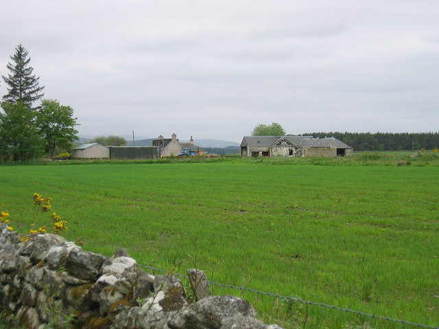
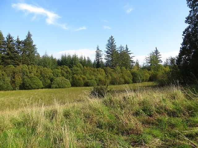
Blackmill Wood is a picturesque forest located in Nairnshire, a county in the Scottish Highlands. Covering an area of approximately 50 acres, it is a haven for nature enthusiasts and outdoor lovers alike. The wood is situated near the village of Auldearn, offering easy access for visitors from the surrounding areas.
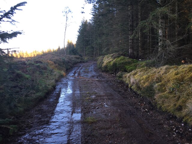
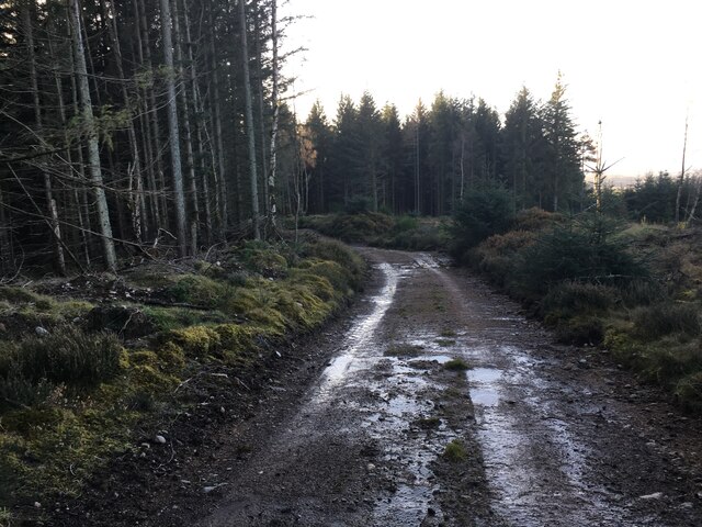
The woodland is predominantly composed of various species of native trees, including oak, birch, and pine, which create a diverse and vibrant ecosystem. The dense canopy provides a tranquil and shaded environment, perfect for leisurely walks or picnics. The forest floor is carpeted with a rich undergrowth of ferns, wildflowers, and mosses, adding to the enchanting atmosphere.
Blackmill Wood is home to a wide array of wildlife, including red squirrels, roe deer, and a variety of bird species such as woodpeckers and owls. Nature enthusiasts can enjoy birdwatching and wildlife spotting, as well as listening to the enchanting sounds of the forest.
There are several well-maintained walking trails that wind through the wood, catering to different levels of difficulty and distance. These trails offer visitors the opportunity to explore the woodland, discover its hidden treasures, and immerse themselves in the natural beauty of the area.
Overall, Blackmill Wood in Nairnshire is a captivating forest that offers a peaceful retreat from the hustle and bustle of daily life. Its stunning scenery, diverse flora and fauna, and well-maintained trails make it a popular destination for both locals and tourists seeking a tranquil and immersive nature experience.
If you have any feedback on the listing, please let us know in the comments section below.
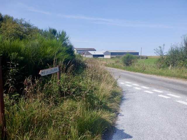
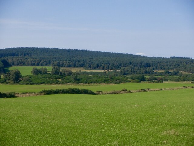
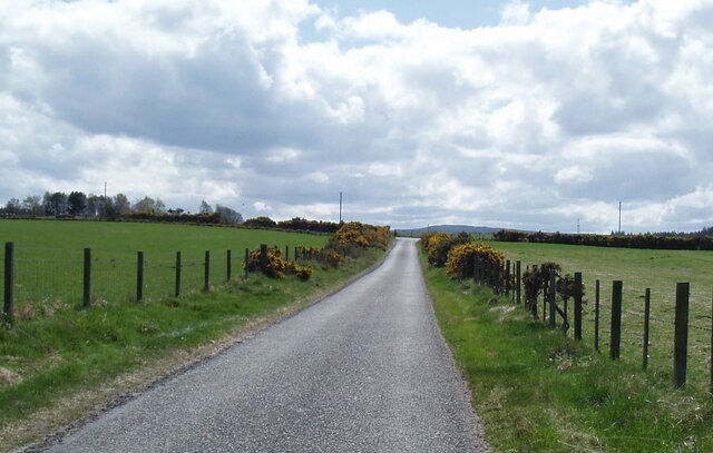
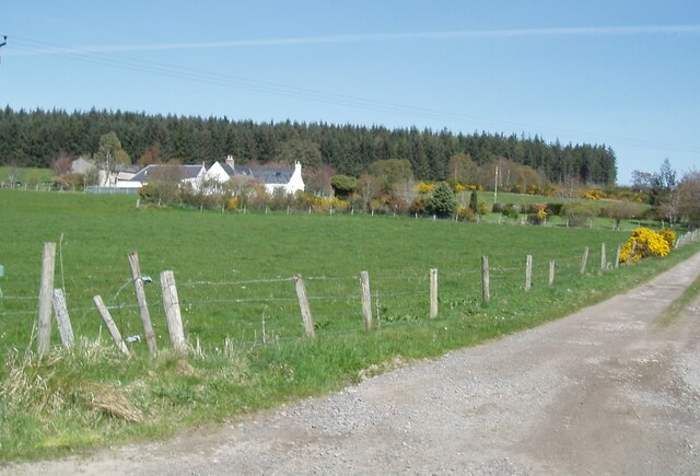
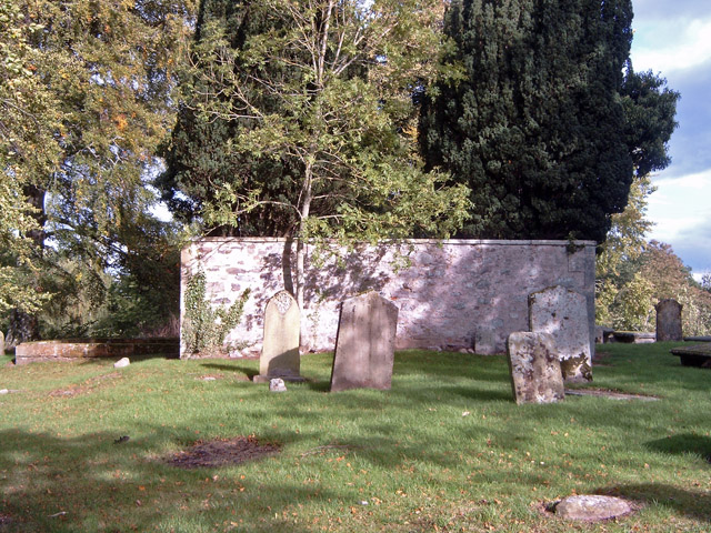
Blackmill Wood Images
Images are sourced within 2km of 57.510791/-3.8521469 or Grid Reference NH8948. Thanks to Geograph Open Source API. All images are credited.


Blackmill Wood is located at Grid Ref: NH8948 (Lat: 57.510791, Lng: -3.8521469)
Unitary Authority: Highland
Police Authority: Highlands and Islands
What 3 Words
///tend.foal.youths. Near Nairn, Highland
Nearby Locations
Related Wikis

County of Nairn
The County of Nairn (also called Nairnshire) (Scottish Gaelic: Siorrachd Inbhir Narann) is a historic county, registration county and lieutenancy area...

Culcharry
Culcharry is a small residential settlement, close to the village of Cawdor and the hamlet of Brackla, lying 4 miles southwest of Nairn, in Nairnshire...
Piperhill
Piperhill is a village, located four miles south of Nairn in Nairnshire, Scottish Highlands and is in the Scottish council area of Highland.
Geddes, Highland
Geddes (Scottish Gaelic: Geadais) is a small village located 5 km to the south of Nairn, in the Highland council area of Scotland. == Geddes House == Geddes...

Rait Castle
Rait Castle is a ruined hall-house castle dating from the thirteenth century, situated just south of Nairn near Inverness, Scotland. It is a scheduled...
Cawdor
Cawdor (Scottish Gaelic: Caladair) is a village and parish in the Highland council area, Scotland. The village is 5 miles (8 kilometres) south-southwest...
Regoul
Regoul is a small rural hamlet, located 4.5 miles south of Nairn, in Nairnshire, Scottish Highlands and is in the Scottish council area of Highland....
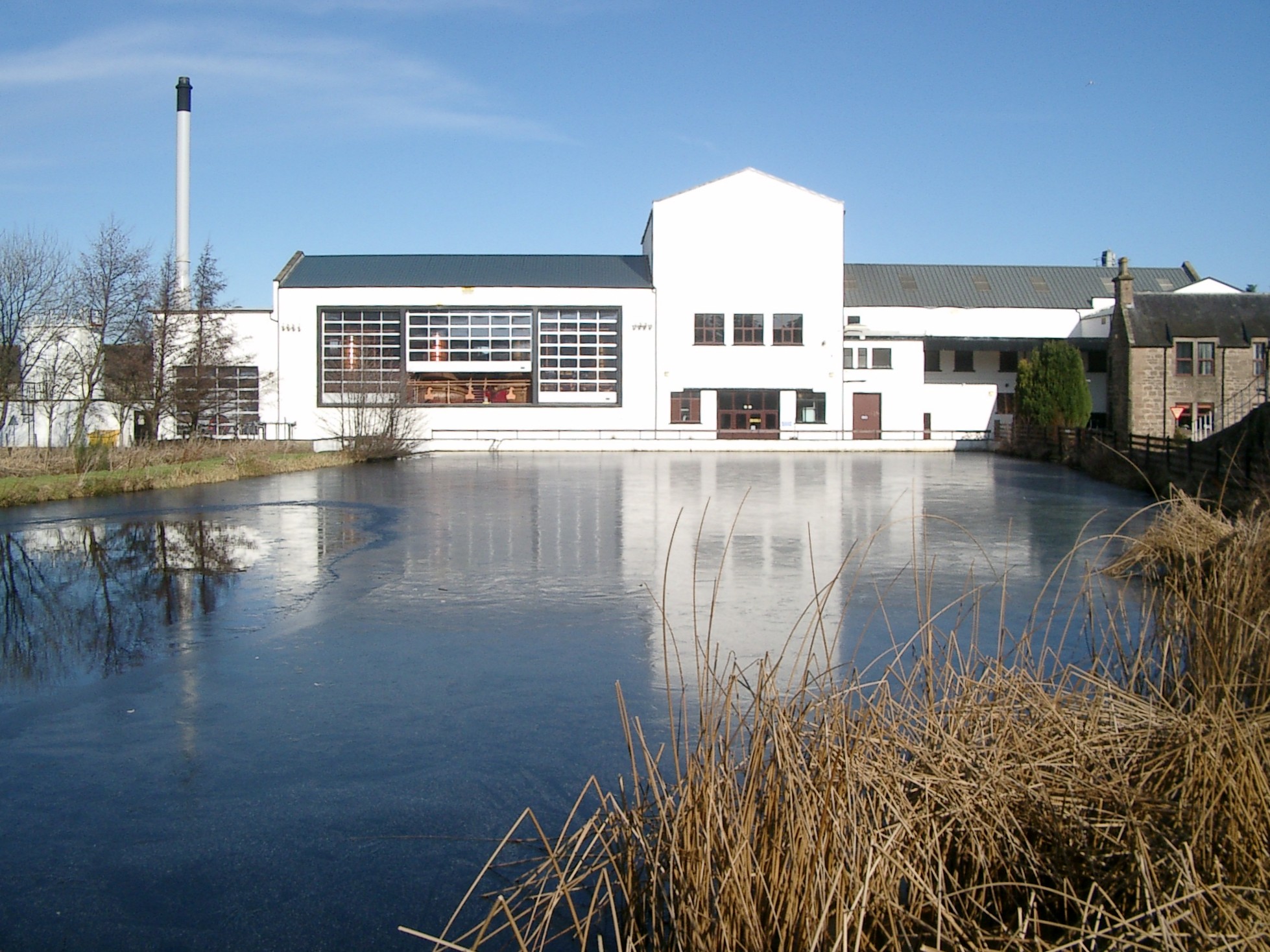
Royal Brackla distillery
Royal Brackla distillery is a Highland Scotch whisky distillery on the Cawdor Estate, near Nairn in Scotland. The distillery is operated by John Dewar...
Nearby Amenities
Located within 500m of 57.510791,-3.8521469Have you been to Blackmill Wood?
Leave your review of Blackmill Wood below (or comments, questions and feedback).