Trigony Wood
Wood, Forest in Dumfriesshire
Scotland
Trigony Wood

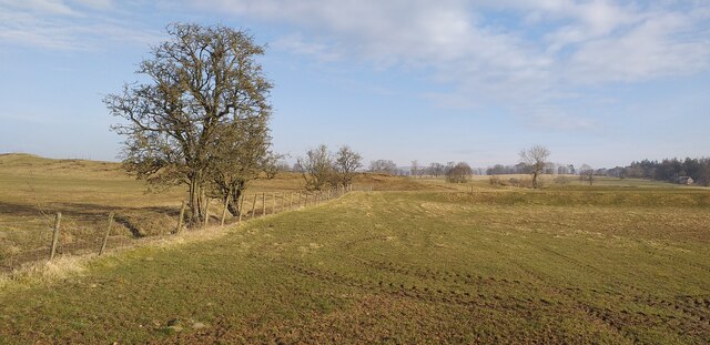
Trigony Wood, located in Dumfriesshire, Scotland, is a captivating forest renowned for its natural beauty and tranquil atmosphere. Covering an area of approximately 3 square kilometers, this ancient woodland is a haven for nature enthusiasts and those seeking a peaceful retreat.
The wood is predominantly composed of native broadleaf trees, including oak, beech, and ash, which create a diverse and vibrant ecosystem. The dense canopy allows only dappled sunlight to filter through, casting a magical glow on the forest floor. Moss-covered rocks, fallen logs, and a carpet of bluebells add to the enchanting ambiance.
Trigony Wood is abundant in wildlife, providing a habitat for a variety of species. Birdwatchers will delight in spotting woodland birds such as woodpeckers, owls, and various songbirds, while red squirrels and roe deer can often be seen darting through the undergrowth. The forest is also home to a multitude of insects, including butterflies and dragonflies.
Visitors to Trigony Wood can explore the forest through a network of well-maintained trails, allowing for leisurely walks or more challenging hikes. The paths wind through the wood, leading to charming clearings and secluded spots where one can sit and appreciate the serenity of nature.
In addition to its natural beauty, Trigony Wood offers educational opportunities for those interested in learning about the local flora and fauna. Guided tours and nature workshops are available, providing visitors with insight into the woodland's ecological significance.
Overall, Trigony Wood is a captivating destination that offers a peaceful escape into nature's embrace. With its diverse wildlife, breathtaking scenery, and educational value, this ancient forest is a must-visit for nature lovers and those seeking tranquility in Dumfriesshire.
If you have any feedback on the listing, please let us know in the comments section below.
Trigony Wood Images
Images are sourced within 2km of 55.219668/-3.7454468 or Grid Reference NX8993. Thanks to Geograph Open Source API. All images are credited.


Trigony Wood is located at Grid Ref: NX8993 (Lat: 55.219668, Lng: -3.7454468)
Unitary Authority: Dumfries and Galloway
Police Authority: Dumfries and Galloway
What 3 Words
///servers.fattening.chats. Near Thornhill, Dumfries & Galloway
Nearby Locations
Related Wikis
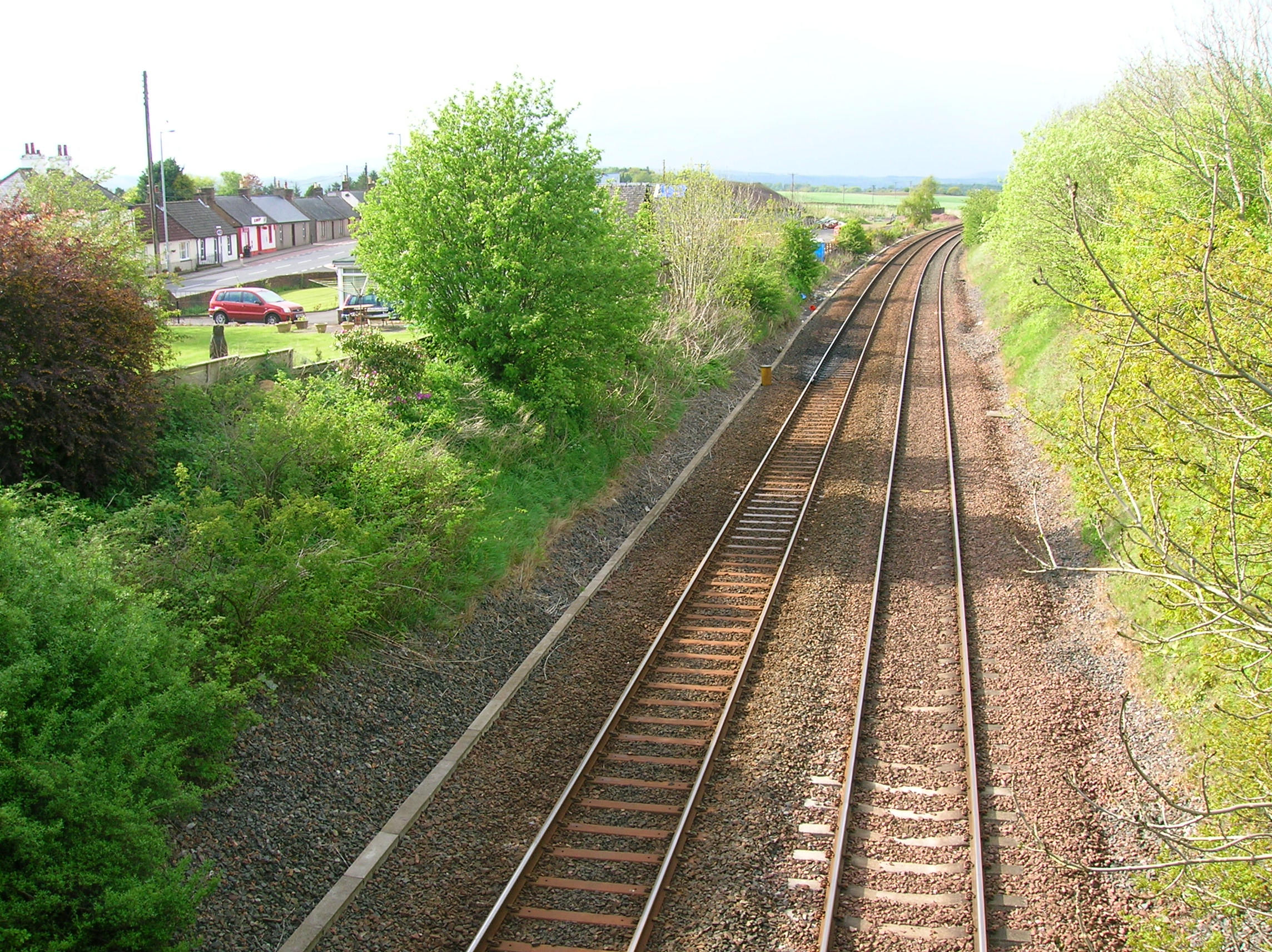
Closeburn railway station
Closeburn railway station was a railway station in Dumfries and Galloway north of Dumfries, serving a rural community with Wallace Hall and Closeburn Castle...

Closeburn, Dumfries and Galloway
Closeburn (Scottish Gaelic: Cill Osbairn) is a village and civil parish in Dumfries and Galloway, Scotland. The village is on the A76 road 2+1⁄2 miles...
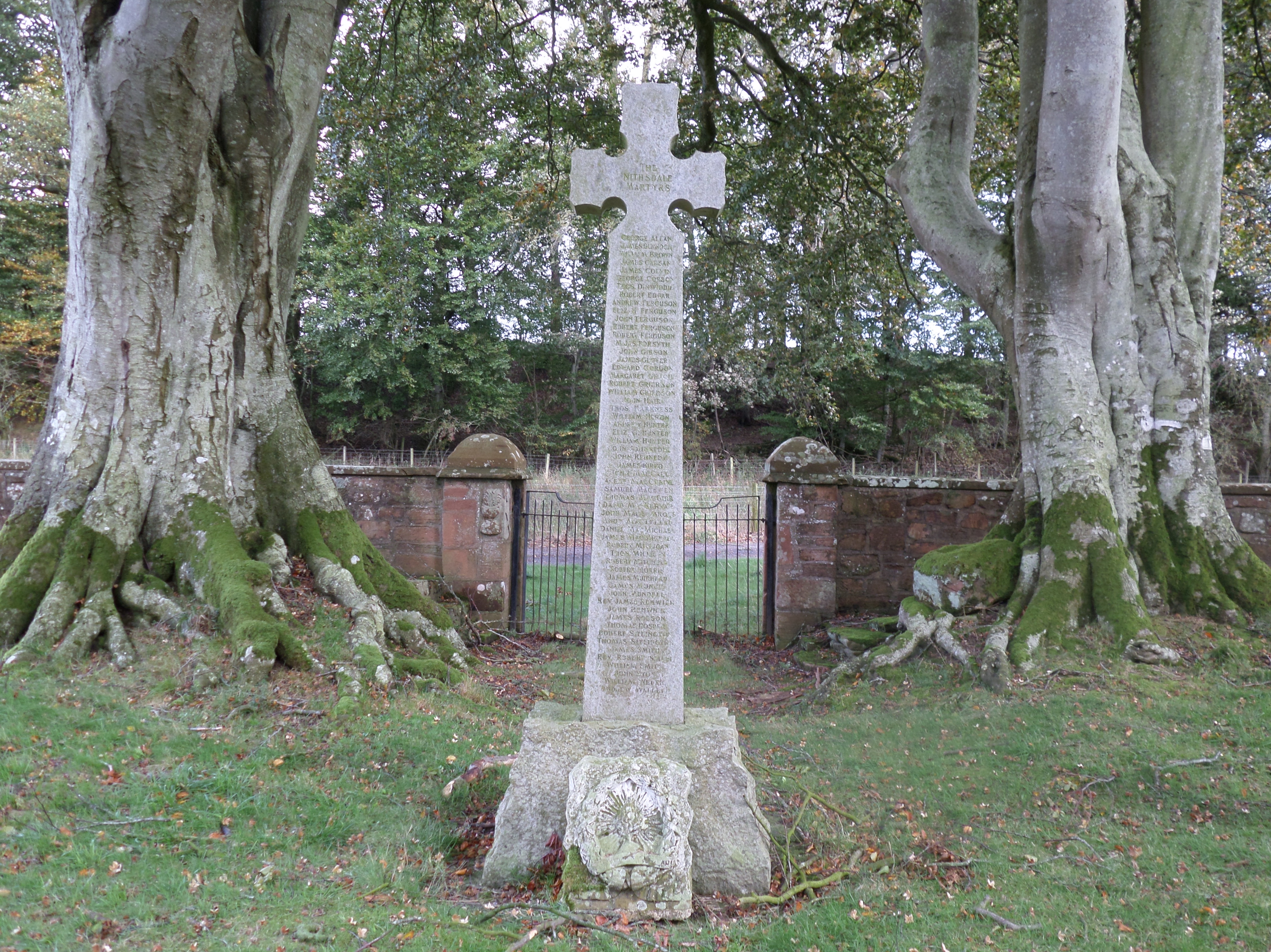
Dalgarnock
Dalgarnock, Dalgarno, Dalgarnoc was an ancient parish and a once considerable sized village in the Nithsdale area of Dumfries and Galloway, Scotland,...

Closeburn Castle
Closeburn Castle is a privately owned tower house, probably of the 14th century, but possibly older, and is one of the oldest continually inhabited houses...
Nearby Amenities
Located within 500m of 55.219668,-3.7454468Have you been to Trigony Wood?
Leave your review of Trigony Wood below (or comments, questions and feedback).