Church Wood

Wood, Forest in Stirlingshire

Scotland

Church Wood

B9124, Westfield Stirlingshire cause land
B9124, Westfield Credit: Richard Webb

Church Wood is a beautiful woodland located in Stirlingshire, Scotland. Covering an area of approximately 50 hectares, it is nestled within the Stirling Council area, near the town of Dunblane. The wood is easily accessible, situated just off the A9 road, making it a popular destination for nature enthusiasts and locals alike.

Church Wood is predominantly composed of native broadleaf trees, such as oak, ash, and birch, which create a diverse and vibrant ecosystem. The wood is home to a rich variety of flora and fauna, including numerous bird species, small mammals, and a wide range of insects. It is a designated Site of Special Scientific Interest (SSSI) due to its ecological significance and importance for biodiversity conservation.

Visitors to Church Wood can enjoy a network of well-maintained trails that meander through the woodland, providing opportunities for leisurely walks and peaceful exploration. The wood offers a tranquil setting, allowing visitors to immerse themselves in nature and experience the calming ambiance of the forest. The trails are suitable for all ages and abilities, with some paths being wheelchair accessible.

In addition to its natural beauty, Church Wood also has historical significance. The remnants of a medieval church can be found within the woodland, adding a touch of intrigue and historical interest to the site. This historical element, combined with the abundant natural beauty, makes Church Wood a popular destination for both nature lovers and history enthusiasts alike.

If you have any feedback on the listing, please let us know in the comments section below.
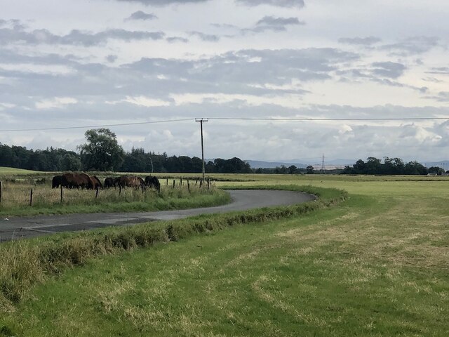
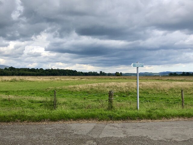
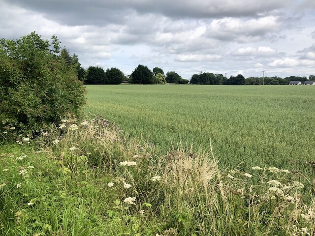
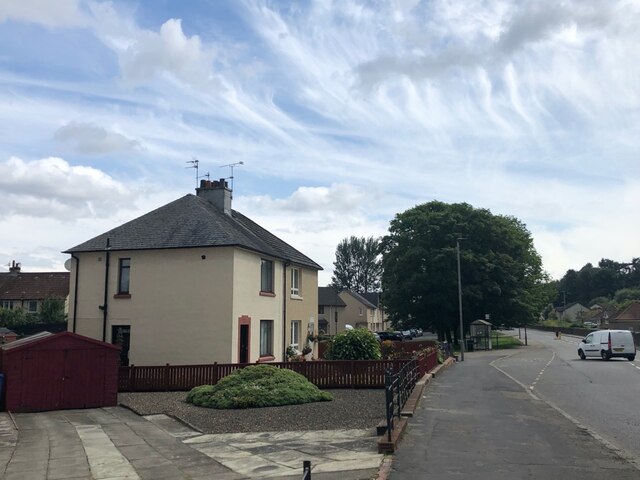
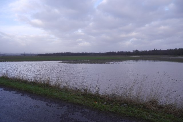
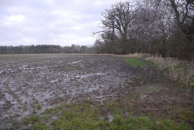
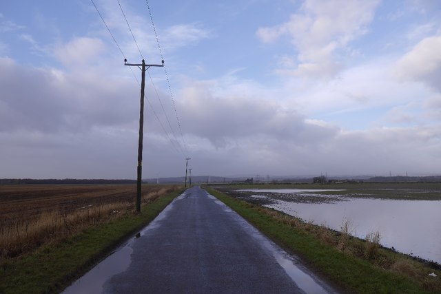
Church Wood Images

Images are sourced within 2km of 56.081073/-3.7867934 or Grid Reference NS8889. Thanks to Geograph Open Source API. All images are credited.

B9124, Westfield Stirlingshire cause land
B9124, Westfield
Stirlingshire cause land
Path sign, Westfield Carseland.
Path sign, Westfield
Carseland.
Field on the edge of Airth Oats.
Field on the edge of Airth
Oats.
Elphinstone Crescent, Airth
Main Street, Airth
Main Street, Airth
The Black Devon Near where it enters the Forth, the chimneys of Alloa glass works can be seen in the distance. <a href="https://www.geograph.org.uk/photo/340188">NS8991 : The Black Devon</a>
The Black Devon
Near where it enters the Forth, the chimneys of Alloa glass works can be seen in the distance. NS8991 : The Black Devon
Farm track Access to land in the vicinity of Dunmore Home Farm. The hill in the picture is called Dumyat (pronounced dim-EYE-at)
Farm track
Access to land in the vicinity of Dunmore Home Farm. The hill in the picture is called Dumyat (pronounced dim-EYE-at)
River bank This is the west bank of the Forth near Dunmore, looking towards South Alloa.
River bank
This is the west bank of the Forth near Dunmore, looking towards South Alloa.
Farm This is Dunmore Home Farm viewed from the track to Dunmore.
Farm
This is Dunmore Home Farm viewed from the track to Dunmore.
River bank A view across the Forth towards Clackmannan Tower.  <a href="https://www.geograph.org.uk/photo/157630">NS9091 : Clackmannan Tower from the East.</a>
River bank
A view across the Forth towards Clackmannan Tower. NS9091 : Clackmannan Tower from the East.
The Pineapple, Dunmore Now a holiday let. I heard about this over 30 years ago but this was my first visit and it didn't disappoint.
The Pineapple, Dunmore
Now a holiday let. I heard about this over 30 years ago but this was my first visit and it didn't disappoint.
Stubble, Kerrie Arable land south of the Forth. Taken from the road which, like so many nowadays was closed.
Stubble, Kerrie
Arable land south of the Forth. Taken from the road which, like so many nowadays was closed.
The Pineapple, Dunmore Park, Airth Sometimes referred to as the Dunmore Pineapple, it was built by the 4th Earl of Dunmore, John Murray, in 1761, perhaps as an extravagant summerhouse or as symbol that he had returned from the Americas, where pineapples symbolised welcome. The Pineapple was restored in the 1970s after it had become run down and vandalised. It is a Category A Listed Building. <span class="nowrap"><a title="https://www.britishlistedbuildings.co.uk/200332952-dunmore-park-the-pineapple-airth#.WbxRrDGWw5s" rel="nofollow ugc noopener" href="https://www.britishlistedbuildings.co.uk/200332952-dunmore-park-the-pineapple-airth#.WbxRrDGWw5s">Link</a><img style="margin-left:2px;" alt="External link" title="External link - shift click to open in new window" src="https://s1.geograph.org.uk/img/external.png" width="10" height="10"/></span>. See also <span class="nowrap"><a title="http://www.undiscoveredscotland.co.uk/airth/thepineapple/index.html" rel="nofollow ugc noopener" href="http://www.undiscoveredscotland.co.uk/airth/thepineapple/index.html">Link</a><img style="margin-left:2px;" alt="External link" title="External link - shift click to open in new window" src="https://s1.geograph.org.uk/img/external.png" width="10" height="10"/></span> in the Undiscovered Scotland website for more photographs and information about the Pineapple.
The Pineapple, Dunmore Park, Airth
Sometimes referred to as the Dunmore Pineapple, it was built by the 4th Earl of Dunmore, John Murray, in 1761, perhaps as an extravagant summerhouse or as symbol that he had returned from the Americas, where pineapples symbolised welcome. The Pineapple was restored in the 1970s after it had become run down and vandalised. It is a Category A Listed Building. LinkExternal link. See also LinkExternal link in the Undiscovered Scotland website for more photographs and information about the Pineapple.
Shore Road in Airth approaching the A905 Looking south-westward.
Shore Road in Airth approaching the A905
Looking south-westward.
Road approaching Moss Wood Looking south-westward.
Road approaching Moss Wood
Looking south-westward.
Flooded field Floodwater beside the Airth to Cowie road.
Flooded field
Floodwater beside the Airth to Cowie road.
A wet field by Airth Some of the field was flooded.
A wet field by Airth
Some of the field was flooded.
B9124 Crossing bleak and muddy carseland near Douglashill. There is some flooding.
B9124
Crossing bleak and muddy carseland near Douglashill. There is some flooding.
Show me another place!

Church Wood is located at Grid Ref: NS8889 (Lat: 56.081073, Lng: -3.7867934)

Unitary Authority: Falkirk

Police Authority: Forth Valley

What 3 Words

///insurance.insurance.shackles. Near Airth, Falkirk

Nearby Locations

Church Wood

Related Wikis

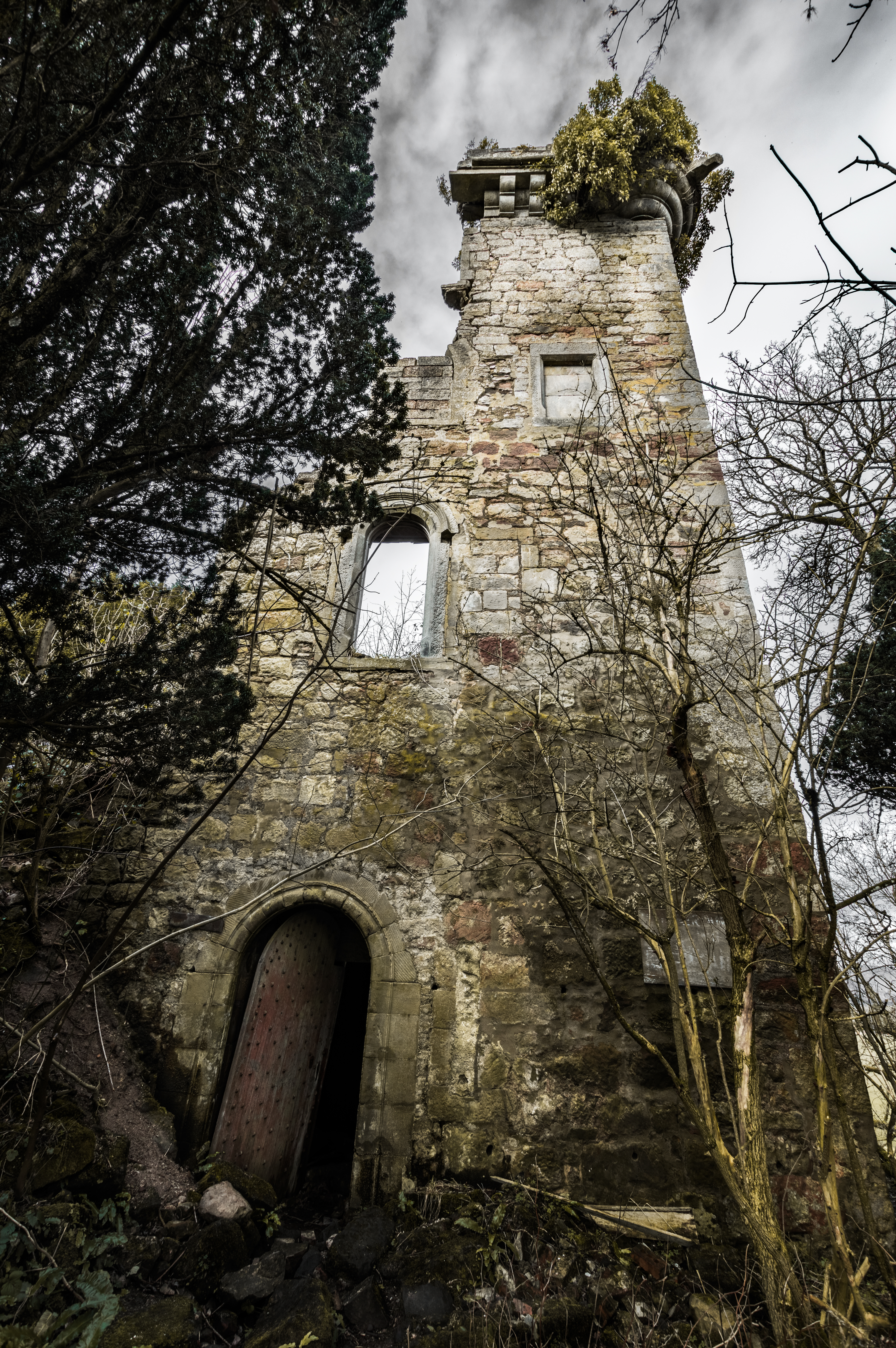
Elphinstone Tower, Falkirk

Elphinstone Tower, also known as Dunmore Tower or Airth Tower, is a ruined tower house on the Dunmore Estate in central Scotland. It is located 1.5 kilometres...

Dunmore, Falkirk

Dunmore is a small village in the Falkirk council area of Scotland. It lies 6.5 miles (10.5 km) south east of Stirling and 5.5 miles (8.9 km) north of...
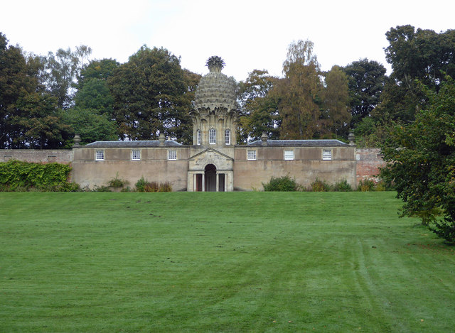
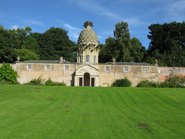
Dunmore Pineapple

The Dunmore Pineapple is a folly in Dunmore Park, near Airth in Stirlingshire, Scotland. In 1995 it was ranked "as the most bizarre building in Scotland...
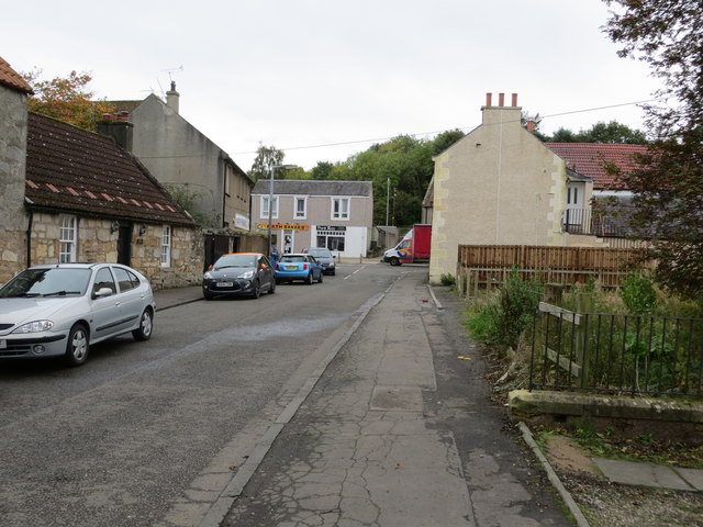
Airth

Airth (Scottish Gaelic: An Àird) is a Royal Burgh, village, former trading port and civil parish in Falkirk, Scotland. It is 6 miles (10 kilometres) north...

Nearby Amenities

Located within 500m of 56.081073,-3.7867934
Telephone
Booth: K6
Covered: booth
Man Made: telephone_box
Source: survey
Lat/Long: 56.0841081/-3.7819449
Turning Loop
Lat/Long: 56.0844228/-3.7826537
Bus Stop
Bus: yes
Naptan AtcoCode: 66903870012
Naptan NaptanCode: 32524758
Public Transport: platform
Shelter: yes
Lat/Long: 56.0838508/-3.7817997
Power: pole
Lat/Long: 56.0834679/-3.7802154
Post Box
Collection Times: Mo-Fr 16:00; Sa 09:30
Post Box Design: waggon_top
Post Box Type: lamp
Ref: FK2 105
Royal Cypher: GVIR
Royal Cypher Wikidata: Q33102169
Lat/Long: 56.0840812/-3.7820279
The data included in this document is from www.openstreetmap.org. The data is made available under ODbL.

Have you been to Church Wood?

Leave your review of Church Wood below (or comments, questions and feedback).