Carrog
Settlement in Caernarfonshire
Wales
Carrog

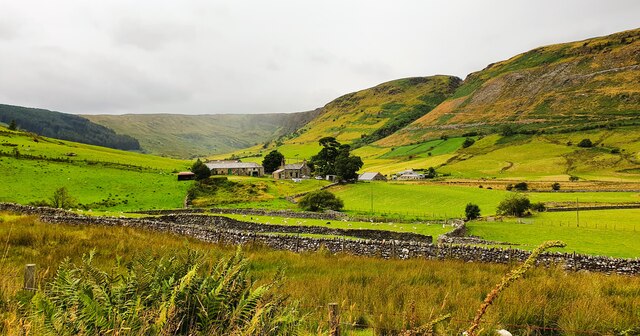
Carrog is a small village located in the historic county of Caernarfonshire, in northern Wales. Situated on the banks of the River Dee, it lies within the stunning Dee Valley, surrounded by lush green fields and rolling hills.
The village is known for its picturesque setting and tranquil atmosphere, making it a popular destination for nature lovers and those seeking a peaceful retreat. Its location within the Snowdonia National Park offers residents and visitors ample opportunities for outdoor activities such as hiking, fishing, and birdwatching.
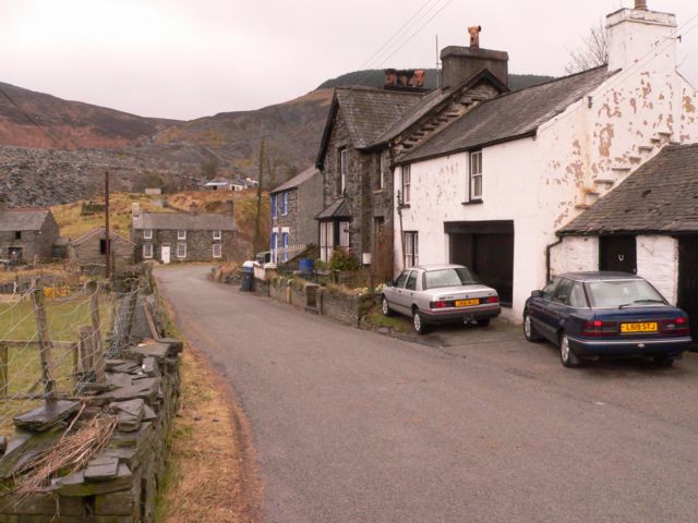
Carrog is home to a close-knit community, with a population of approximately 200 people. The village features a charming local pub, the Grouse Inn, which serves traditional Welsh cuisine and offers a warm welcome to all. There is also a small general store that caters to the basic needs of residents.
Historically, Carrog was an important transport hub, with a railway station that connected the village to nearby towns and cities. Today, this station is part of the Llangollen Railway, a heritage railway that operates steam trains and attracts tourists from far and wide.
The village also hosts an annual music festival, which showcases local talent and attracts music enthusiasts from across the region. The festival brings a vibrant atmosphere to Carrog and is a highlight of the community's calendar.
Overall, Carrog offers a peaceful and idyllic setting amidst the stunning Welsh countryside, making it an appealing place for both residents and visitors seeking a slower pace of life and a connection with nature.
If you have any feedback on the listing, please let us know in the comments section below.
Carrog Images
Images are sourced within 2km of 53.005911/-3.8494377 or Grid Reference SH7647. Thanks to Geograph Open Source API. All images are credited.


![Carreg filltir / Milestone The inscription reads:
[Illegible] Miles
[Ffestiniog?] 8
Penmachno 2
Bettws y Coed 6
Llanrwst 10](https://s1.geograph.org.uk/geophotos/03/48/10/3481013_461aea3b.jpg)


Carrog is located at Grid Ref: SH7647 (Lat: 53.005911, Lng: -3.8494377)
Unitary Authority: Conwy
Police Authority: North Wales
What 3 Words
///upholding.estuaries.roughness. Near Blaenau-Ffestiniog, Gwynedd
Nearby Locations
Related Wikis

Arllechwedd
Arllechwedd was an ancient Welsh cantref in north-west Wales. It was part of the kingdom of Gwynedd for much of its history until it was included in the...

Penmachno quarry
The Penmachno quarry (also known as Cwm Machno quarry, Rhiwfachno quarry, or Tan-y-Rhiw quarry) was a slate quarry near Cwm Penmachno, Conwy, North Wales...
Cwm Penmachno
Cwm Penmachno (historically called Tre-Gynwal) is a village at the head of Cwm Machno in North Wales. == History == The village was built in the 1860s...
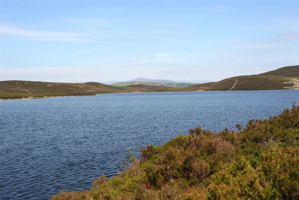
Llyn Conwy
Llyn Conwy (SH780462) is a lake in the county of Conwy in central north Wales. It is the source of the River Conwy which, on flowing south out of the lake...
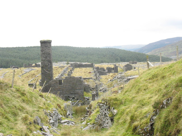
Rhiwbach quarry
Rhiwbach quarry (also known as Rhiw-bach quarry) was a slate quarry located to the east of Blaenau Ffestiniog in North Wales. The quarry was a remote site...
Cwt y Bugail quarry
The Cwt y Bugail quarry is a former slate quarry located east of Blaenau Ffestiniog in Wales. It was first worked as a trial pit around 1840. Continuous...
Blaen y Cwm quarry
The Blaen y Cwm quarry was a slate quarry located east of Blaenau Ffestiniog in Wales. It was first worked in some time between 1813 and 1818 and sporadically...

Bwlch y Slaters quarry
Bwlch y Slaters quarry (also known as Manod quarry, New Manod quarry, or, since the closure of the nearby Cwt y Bugail quarry, Cwt y Bugail quarry) is...
Nearby Amenities
Located within 500m of 53.005911,-3.8494377Have you been to Carrog?
Leave your review of Carrog below (or comments, questions and feedback).