Crow Wood

Wood, Forest in Stirlingshire

Scotland

Crow Wood

Bridge over M9 near Stenhousemuir
Bridge over M9 near Stenhousemuir Credit: Alpin Stewart

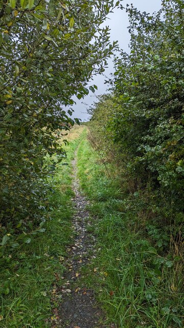
Crow Wood is a picturesque woodland located in the region of Stirlingshire, Scotland. Spanning over a vast area, this natural gem is renowned for its diverse and enchanting forest ecosystem. The wood is characterized by its dense coverage of predominantly deciduous trees, including oak, birch, beech, and rowan, which form a lush and vibrant canopy overhead.

The woodland's flora is rich and varied, with an array of wildflowers, ferns, and mosses adorning the forest floor. This creates a captivating tapestry of colors and textures, especially during the spring and summer months when the wood is in full bloom. The enchanting scent of the wildflowers further adds to the sensory experience of exploring this natural wonder.

Crow Wood is not only visually stunning but also serves as a sanctuary for a diverse range of wildlife. Numerous species of birds, such as woodpeckers, thrushes, and owls, can be spotted flitting between the branches or heard singing their melodious tunes. The wood is also home to small mammals like squirrels, foxes, and badgers, as well as a variety of insects and amphibians.

The wood offers a network of well-maintained trails and paths, allowing visitors to immerse themselves in the tranquil ambiance and explore the natural beauty at their own pace. Whether it's a leisurely stroll, a refreshing jog, or a more adventurous hike, Crow Wood caters to all outdoor enthusiasts.

Overall, Crow Wood in Stirlingshire is a captivating and biodiverse forest that offers a serene respite from urban life. Its stunning scenery, rich flora and fauna, and well-maintained trails make it a must-visit destination for nature lovers and those seeking a peaceful retreat in the heart of Scotland.

If you have any feedback on the listing, please let us know in the comments section below.
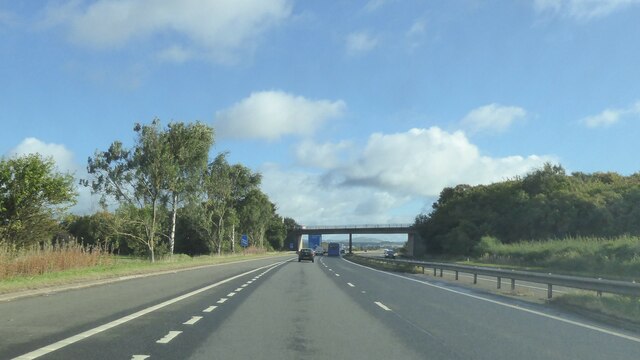
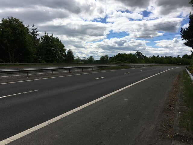
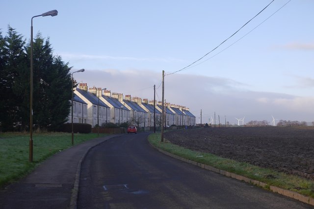
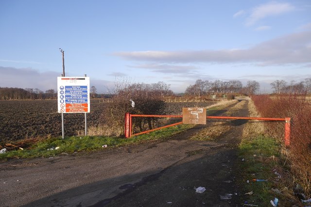
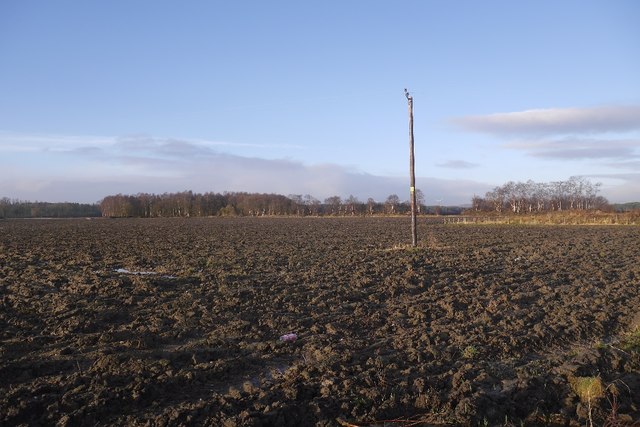
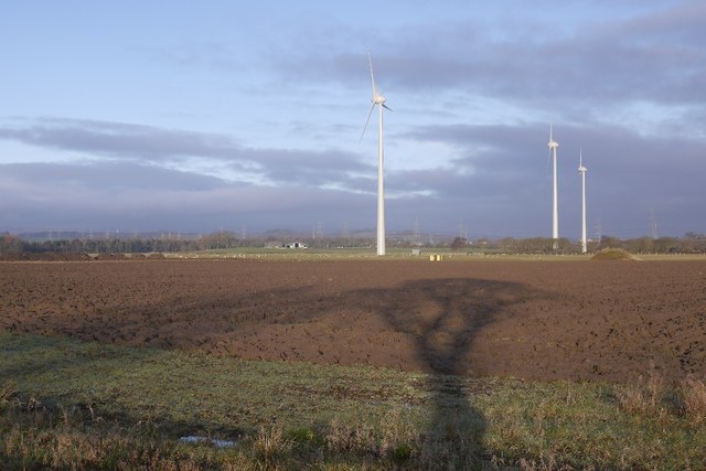
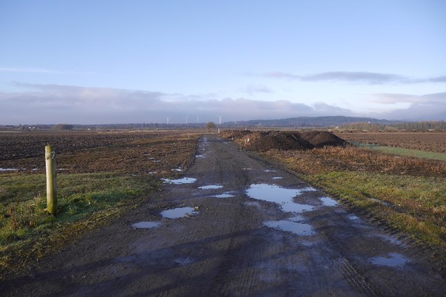
Crow Wood Images

Images are sourced within 2km of 56.046109/-3.7903783 or Grid Reference NS8885. Thanks to Geograph Open Source API. All images are credited.

Bridge over M9 near Stenhousemuir
Bridge over M876 at North Langdyke
Slip road on junction of M9 and M876 Photo taken whilst awaiting puncture repair.
Slip road on junction of M9 and M876
Photo taken whilst awaiting puncture repair.
Footpath On the way to what looked like one of the coal-bed methane wells
Footpath
On the way to what looked like one of the coal-bed methane wells
Over-bridge at North Langdyke
M9 at Junction 8 Looking west in the direction of Stirling. The M876 branches off here and links to the M80 to Glasgow. In the reverse direction to this photograph, the M9 shares with the M876 to Junction 7 where the M876 branches off to the Kincardine on Forth and Clackmannanshire bridges.
M9 at Junction 8
Looking west in the direction of Stirling. The M876 branches off here and links to the M80 to Glasgow. In the reverse direction to this photograph, the M9 shares with the M876 to Junction 7 where the M876 branches off to the Kincardine on Forth and Clackmannanshire bridges.
Bellsdyke Road (A88) at Antonshill Looking north-eastward.
Bellsdyke Road (A88) at Antonshill
Looking north-eastward.
A section of vehicle free Hamilton Road near Antonshill Looking north-westward.
A section of vehicle free Hamilton Road near Antonshill
Looking north-westward.
Ordnance Survey Flush Bracket S9017 This bracket can be found on the wall of a house - a private dwelling - in Bellsyke Road. The benchmark height is recorded as being 28.759 metres above sea level. For more detail see : <span class="nowrap"><a title="http://www.bench-marks.org.uk/bm21335" rel="nofollow ugc noopener" href="http://www.bench-marks.org.uk/bm21335">Link</a><img style="margin-left:2px;" alt="External link" title="External link - shift click to open in new window" src="https://s1.geograph.org.uk/img/external.png" width="10" height="10"/></span>
Ordnance Survey Flush Bracket S9017
This bracket can be found on the wall of a house - a private dwelling - in Bellsyke Road. The benchmark height is recorded as being 28.759 metres above sea level. For more detail see : LinkExternal link
Letham A row of houses amongst arable land.
Letham
A row of houses amongst arable land.
Coalbed methane site, Letham Looks like the site has been dismantled. Signage has remained and there is also a lot of other litter in the layby.
Coalbed methane site, Letham
Looks like the site has been dismantled. Signage has remained and there is also a lot of other litter in the layby.
Ploughed field, Letham Carse land improved for agriculture although some of the old moss lands remain nearby.
Ploughed field, Letham
Carse land improved for agriculture although some of the old moss lands remain nearby.
Lost road to Stenhousemuir This was a yellow road until it was closed by building the M9 through it in the late 1970s. As there is a nearby alternative, no bridge was built.   The signage and CCTV camera are part of a coalbed methane extraction study from a few years earlier.
Lost road to Stenhousemuir
This was a yellow road until it was closed by building the M9 through it in the late 1970s. As there is a nearby alternative, no bridge was built. The signage and CCTV camera are part of a coalbed methane extraction study from a few years earlier.
Wind turbines near Rosehill Three years after <a href="https://www.geograph.org.uk/photo/4261006">NS8685 : Carse land, Kersebrock</a> was taken and there are now turbines here.  A landmark if travelling between Edinburgh and Dunblane by rail or motorway.
Wind turbines near Rosehill
Three years after NS8685 : Carse land, Kersebrock was taken and there are now turbines here. A landmark if travelling between Edinburgh and Dunblane by rail or motorway.
A track over the carse Biggish road, the 1:25,000 map shows a couple of hard standing areas at the end. No wind turbines have appeared recently at the site.
A track over the carse
Biggish road, the 1:25,000 map shows a couple of hard standing areas at the end. No wind turbines have appeared recently at the site.
Bensfield A spring sown crop is emerging.
Bensfield
A spring sown crop is emerging.
Strip wood, Kinnaird Off Bellsdyke Road.
Strip wood, Kinnaird
Off Bellsdyke Road.
Excavated land Perhaps on the way to housing, there is a lot of building in the neighbourhood.  Once this was Geesmuir Wood.
Excavated land
Perhaps on the way to housing, there is a lot of building in the neighbourhood. Once this was Geesmuir Wood.
Show me another place!

Crow Wood is located at Grid Ref: NS8885 (Lat: 56.046109, Lng: -3.7903783)

Unitary Authority: Falkirk

Police Authority: Forth Valley

What 3 Words

///fatherly.heads.crashing. Near Carronshore, Falkirk

Nearby Locations

Letham Wood Crow Wood

Related Wikis

Letham, Falkirk

Letham (Scottish Gaelic: Leathann) is a small former mining village in Falkirk district, Scotland. It is located less than 2 miles from the town of Airth...

Central Region, Scotland

Central region (Roinn Meadhanach in Gaelic) was a local government region from 1975 to 1996, being one of twelve such regions across Scotland. The Regional...
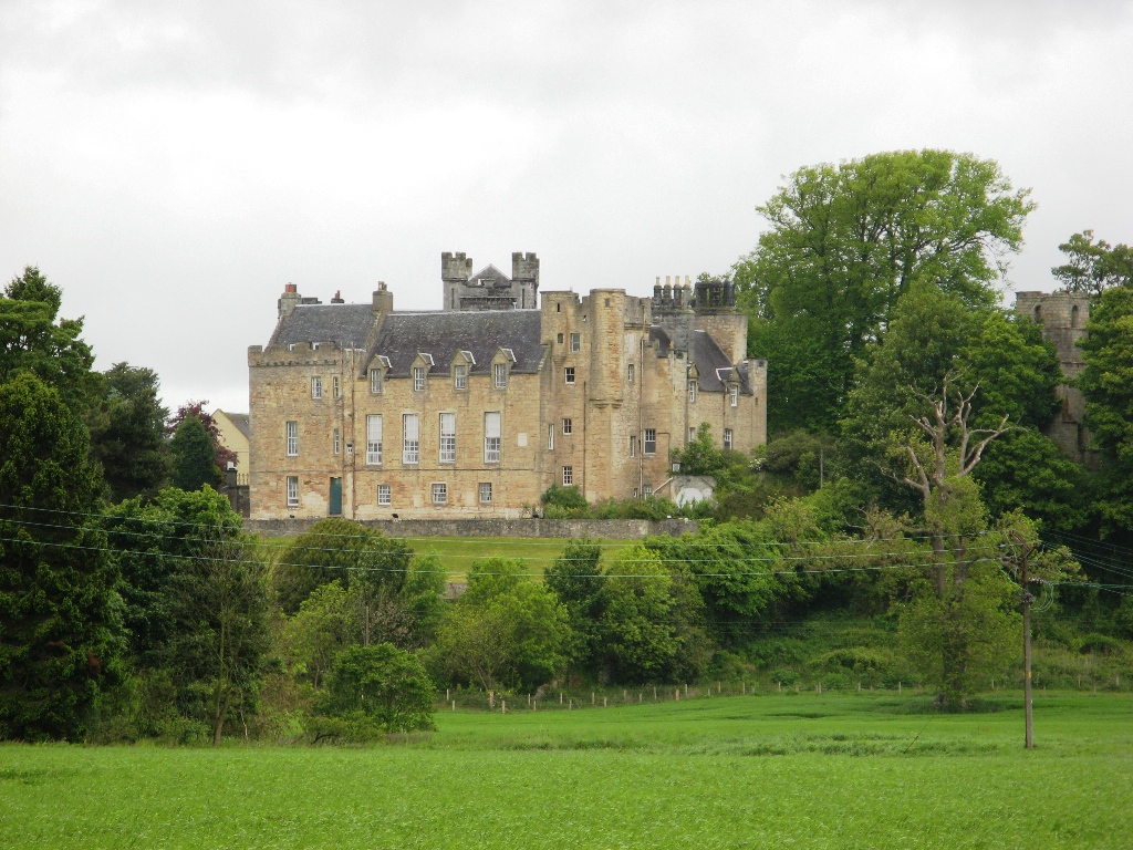
Airth Castle

Airth Castle is a castle overlooking the village of Airth and the River Forth, in the Falkirk area of Scotland. Until 2023, the castle operated as a hotel...

Carronshore

Carronshore is a village in the Falkirk council area of Scotland. The village lies in the Forth Valley, 1.7 miles (2.7 km) north of the town of Falkirk...

Nearby Amenities

Located within 500m of 56.046109,-3.7903783
AIRTH1
Disused: yes
Man Made: petroleum_well
Ref GB Decc: LF/27-2
Source: DECC
Lat/Long: 56.0493056/-3.79
AIRTH10
Disused: yes
Man Made: petroleum_well
Ref GB Decc: LF/27-12
Source: DECC
Lat/Long: 56.049025/-3.7872314
AIRTH7;AIRTH7Z
Disused: yes
Man Made: petroleum_well
Ref GB Decc: LF/27-8;LF/27-8Z
Source: DECC
Lat/Long: 56.0492511/-3.7871456
AIRTH10A;AIRTH10W;AIRTH10X;AIRTH10Y;AIRTH10Z
Disused: yes
Man Made: petroleum_well
Ref GB Decc: LF/27-12A;LF/27-12W;LF/27-12X;LF/27-12Y;LF/27-12Z
Source: DECC
Lat/Long: 56.0490242/-3.7866853
Motorway Junction
Ref: 7
Lat/Long: 56.0435541/-3.7837526
Design: three-level
Power: tower
Lat/Long: 56.04645/-3.7880135
Design: three-level
Power: tower
Lat/Long: 56.043335/-3.7843556
Motorway Junction
Ref: 7
Lat/Long: 56.0449726/-3.7903634
Material: wood
Power: pole
Lat/Long: 56.0493245/-3.7855599
Material: wood
Power: pole
Lat/Long: 56.0489259/-3.7860148
Material: wood
Power: pole
Lat/Long: 56.048511/-3.7864948
Material: wood
Power: pole
Lat/Long: 56.0481532/-3.7869205
Material: wood
Power: pole
Lat/Long: 56.0475168/-3.7876425
Material: wood
Power: pole
Lat/Long: 56.0469294/-3.7883082
Material: wood
Power: pole
Lat/Long: 56.0464737/-3.7888258
Material: wood
Power: pole
Lat/Long: 56.0457475/-3.7896605
Material: wood
Power: pole
Lat/Long: 56.0444129/-3.7930537
Material: wood
Power: pole
Lat/Long: 56.0443278/-3.794262
Material: wood
Power: pole
Lat/Long: 56.0442393/-3.7956143
Material: wood
Power: pole
Lat/Long: 56.0441577/-3.7969186
The data included in this document is from www.openstreetmap.org. The data is made available under ODbL.

Have you been to Crow Wood?

Leave your review of Crow Wood below (or comments, questions and feedback).