Arboll Wood
Wood, Forest in Ross-shire
Scotland
Arboll Wood

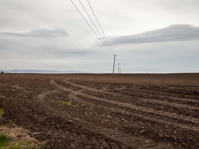
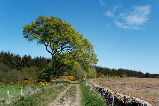
Arboll Wood, located in Ross-shire, Scotland, is a quaint and picturesque forest that spans over a vast area. With its serene ambiance and lush greenery, it offers a tranquil retreat for nature enthusiasts and hikers alike.
The wood is primarily composed of a mix of native tree species, including Scots pine, birch, and oak, which creates a diverse and vibrant ecosystem. These trees provide a habitat for a variety of wildlife, such as red squirrels, roe deer, and a multitude of bird species, making Arboll Wood a haven for wildlife enthusiasts and bird watchers.
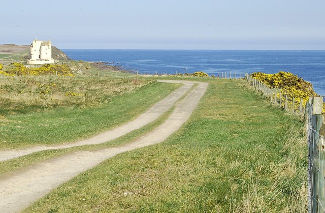
The forest boasts well-maintained trails, allowing visitors to explore its beauty at their own pace. These paths wind through the woodland, leading to enchanting spots like secluded glens, bubbling streams, and hidden waterfalls. The mesmerizing beauty of Arboll Wood is further enhanced by the carpet of bluebells that bloom in spring, creating a breathtaking spectacle.
For those seeking a more immersive experience, camping facilities are available within the wood, offering the chance to spend a night under the starry sky, surrounded by the sounds of nature.
Arboll Wood is not only a natural treasure but also holds historical significance. It is believed that the forest has been present for centuries, with remnants of ancient settlements and historic buildings scattered throughout its grounds. These remnants serve as a reminder of the rich cultural heritage that the wood holds.
Overall, Arboll Wood is a captivating destination that combines the beauty of nature with a touch of history, making it an ideal retreat for those seeking solace in the embrace of nature.
If you have any feedback on the listing, please let us know in the comments section below.
Arboll Wood Images
Images are sourced within 2km of 57.807653/-3.8793944 or Grid Reference NH8881. Thanks to Geograph Open Source API. All images are credited.


Arboll Wood is located at Grid Ref: NH8881 (Lat: 57.807653, Lng: -3.8793944)
Unitary Authority: Highland
Police Authority: Highlands and Islands
What 3 Words
///specifies.fortress.shrugging. Near Balintore, Highland
Nearby Locations
Related Wikis

Arboll
Arboll (Scottish Gaelic: Àrbol) is a place in the parish of Tarbat, Easter Ross, Highland, northern Scotland made up of several scattered farms. It is...

Toulvaddie
Toulvaddie (Scottish Gaelic: Toll a' Mhadaidh) is a hamlet, in the Tarbat peninsula, located in Tain, Ross-shire, Scottish Highlands and is in the Scottish...
Christian Focus Publications
Christian Focus Publications (CFP) is a conservative, evangelical publishing house in the United Kingdom.CFP was established in the early 1970s, and is...
Inver, Highland
Inver is a small village located on the south east shore of the Inver Bay at the point where the bay opens out into the Dornoch Firth and is in Ross-shire...
Ballone Castle
Ballone Castle was built in the 16th century. It was unoccupied for a couple of centuries and fell into ruin. In the 1990s it was purchased and restored...
Rockfield, Highland
Rockfield (Scottish Gaelic: Creag Tarail Bhig) is a hamlet in the parish of Tarbat, on the Tarbat Peninsula, near the village of Portmahomack, Easter...

Loch Slin Castle
Loch Slin Castle (sometimes spelt Lochslin) is a ruined castle near Fearn, Highland, Scotland. From the 15th to 17th centuries it was the seat of the Vass...

Tarbat
Tarbat (Gaelic tairbeart, meaning 'a crossing or isthmus') is a civil parish in Highland, Scotland, in the north-east corner of Ross and Cromarty. The...
Nearby Amenities
Located within 500m of 57.807653,-3.8793944Have you been to Arboll Wood?
Leave your review of Arboll Wood below (or comments, questions and feedback).